Kanlurang Asya

Mga bansa sa Kanlurang Asya :
•Armenia• Azerbaijan• Bahrain• Cyprus• Georgia• Iran• Iraq• Israel• Jordan• Kuwait• Lebanon
• Oman• Qatar• Saudi Arabia• Syria• Turkey• U.A.E•Yemen
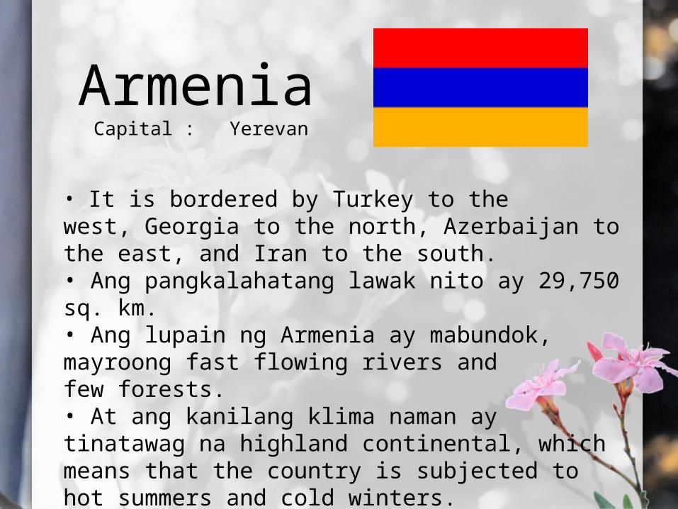
ArmeniaCapital : Yerevan
• It is bordered by Turkey to the west, Georgia to the north, Azerbaijan to the east, and Iran to the south.• Ang pangkalahatang lawak nito ay 29,750 sq. km.• Ang lupain ng Armenia ay mabundok, mayroong fast flowing rivers and few forests.• At ang kanilang klima naman ay tinatawag na highland continental, which means that the country is subjected to hot summers and cold winters.

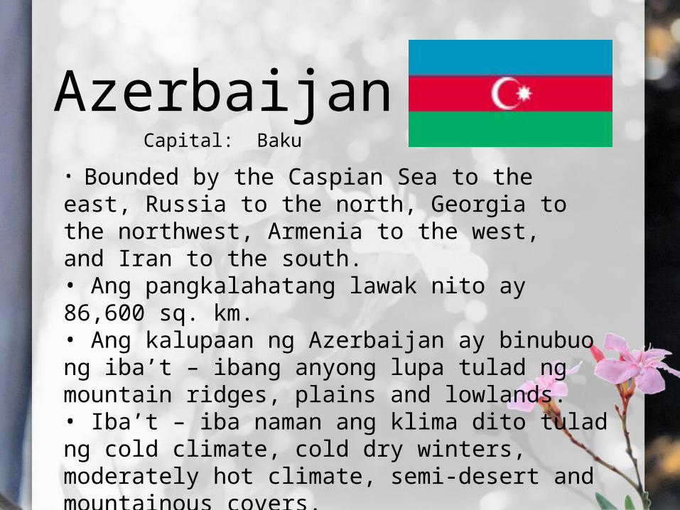
AzerbaijanCapital: Baku
• Bounded by the Caspian Sea to the east, Russia to the north, Georgia to the northwest, Armenia to the west, and Iran to the south.• Ang pangkalahatang lawak nito ay 86,600 sq. km.• Ang kalupaan ng Azerbaijan ay binubuo ng iba’t – ibang anyong lupa tulad ng mountain ridges, plains and lowlands.• Iba’t – iba naman ang klima dito tulad ng cold climate, cold dry winters, moderately hot climate, semi-desert and mountainous covers.

Agdam Forest

BahrainCapital: Manama
• Also called “Kingdom of the Two Seas.”• Ang pangkalahatang lawak nito ay 750 sq.km.• Generally flat and arid archipelago in the Persian Gulf, consists of a low desert plain.• Due to the Persian Gulf area's low moisture, summers are very hot and dry, the seas are very shallow, heating up quickly in the summer and also Summer temperatures may reach more than 40 °C.

Desert landscape in Bahrain
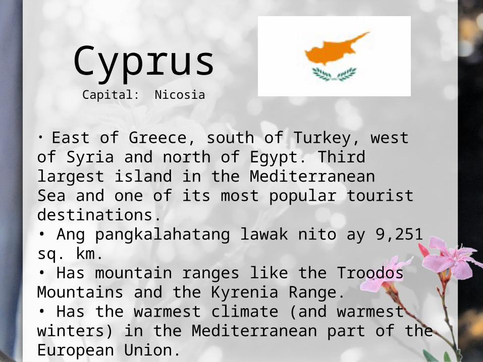
CyprusCapital: Nicosia
• East of Greece, south of Turkey, west of Syria and north of Egypt. Third largest island in the Mediterranean Sea and one of its most popular tourist destinations.• Ang pangkalahatang lawak nito ay 9,251 sq. km.• Has mountain ranges like the Troodos Mountains and the Kyrenia Range.• Has the warmest climate (and warmest winters) in the Mediterranean part of the European Union.
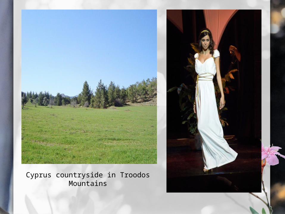
Cyprus countryside in Troodos Mountains

GeorgiaCapital: Tbilisi
• West by the Black Sea, to the north by Russia, to the southwest by Turkey, to the south by Armenia, and to the southeast by Azerbaijan.• Ang pangkalahatang lawak ay 69,700 sq. km.• It is a very mountainous country. The overall region can be characterized as being made up of various, interconnected mountain ranges and plateaus.• the wettest periods generally occur during Spring and Autumn while Winter and the Summer months tend to be the driest.
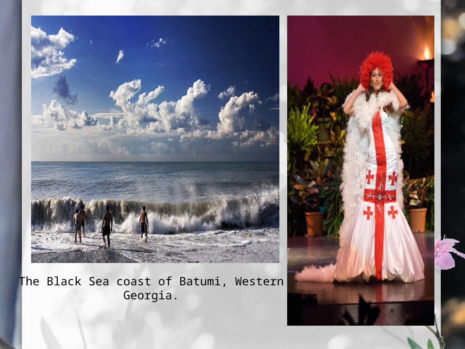
The Black Sea coast of Batumi, Western Georgia.
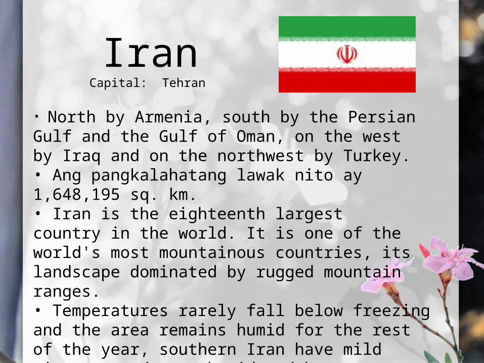
IranCapital: Tehran
• North by Armenia, south by the Persian Gulf and the Gulf of Oman, on the west by Iraq and on the northwest by Turkey.• Ang pangkalahatang lawak nito ay 1,648,195 sq. km.• Iran is the eighteenth largest country in the world. It is one of the world's most mountainous countries, its landscape dominated by rugged mountain ranges.• Temperatures rarely fall below freezing and the area remains humid for the rest of the year, southern Iran have mild winters, and very humid and hot summers.
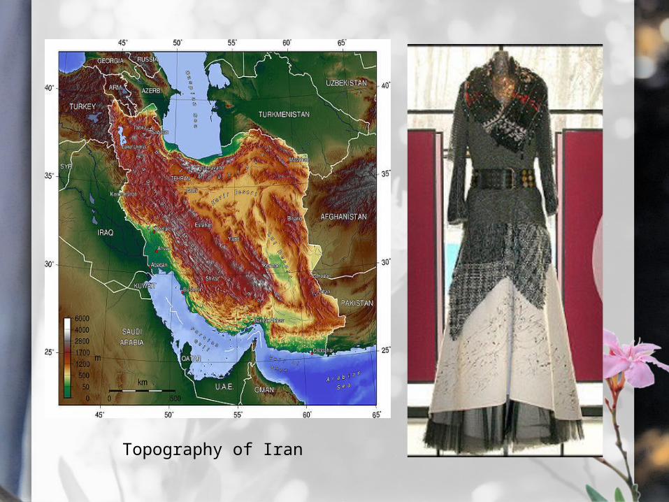
Topography of Iran

IraqCapital: Baghdad
• Iraq is bordered by Jordan to the west, Syria to the northwest, Turkey to the north, Iran to the east, and Kuwait and Saudi Arabia to the south.• Ang pangkalahatang lawak nito ay 438,317 sq. km.• Iraq mainly consists of desert. The north of the country is mostly composed of mountains. • The local climate is mostly desert, with mild to cool winters and dry, hot, cloudless summers.
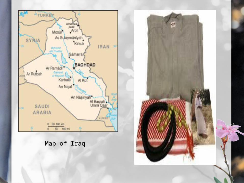
Map of Iraq

IsraelCapital: Jerusalem
• It borders Lebanon in the north, Syria in the northeast, Jordan and the West Bank in the east, Egypt and on the southwest.• Ang pangkalahatang lawak nito ay 22,072 sq. km.• The Jordan River runs along the Jordan Rift Valley and the Sea of Galilee to the Dead Sea, the lowest point on the surface of the Earth.• Temperatures in Israel vary widely, especially during the winter. The more mountainous regions can be windy, cold, and sometimes snowy; Jerusalem usually receives at least one snowfall each year.

The Sea of Galilee, seen from Tiberius at dusk.
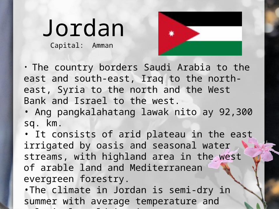
JordanCapital: Amman
• The country borders Saudi Arabia to the east and south-east, Iraq to the north- east, Syria to the north and the West Bank and Israel to the west.• Ang pangkalahatang lawak nito ay 92,300 sq. km.• It consists of arid plateau in the east irrigated by oasis and seasonal water streams, with highland area in the west of arable land and Mediterranean evergreen forestry.•The climate in Jordan is semi-dry in summer with average temperature and relatively cold in winter.
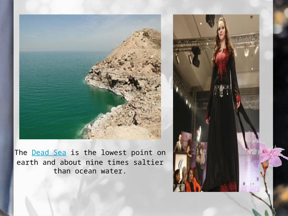
The Dead Sea is the lowest point on earth and about nine times saltier than ocean
water.
KuwaitCapital: Kuwait City
• It is bordered by Saudi Arabia to the south at Kanji, and Iraq to the north at Basra. It lies on the north-western shore of the Persian Gulf.• Ang pangkalahatang lawak nito ay 17,820 sq. km.• Kuwait is one of the smallest countries in the world in terms of land area. It also have nine islands.• The spring season in March is warm and pleasant with occasional thunderstorms. The frequent winds from the northwest are cold in winter and spring and hot in summer.

The headquarters of Kuwait Petroleum Corporation (KPC) in Ahmadi.
LebanonCapital: Beirut
• It is bordered by Syria to the north and east, and Isreal to the south.• Ang lawak nito ay 10,452 sq. km.• Most of Lebanon's area is mountainous terrain, except for the narrow coastline and the Beqaa Valley.• In coastal areas, winters are generally cool and rainy while summers are hot and humid. In more elevated areas, temperatures usually drop below freezing during the winter and sometimes heavy snow; summers are warm and dry.

View from Beaufort castle, Lebanon
OmanCapital: Muscat
• It is bordered by the United Arab Emirates (UAE) to the northwest, Saudi Arabia to the west, and Yemen to the southwest.• Ang lawak nito ay 309,500 sq. km.• A vast gravel desert plain covers most of central Oman, with mountain ranges along the north and southeast coast.• Oman has a hot climate and very little rainfall. The mountain areas receive more plentiful rainfall. Generally is very hot.

Desert landscape in Oman
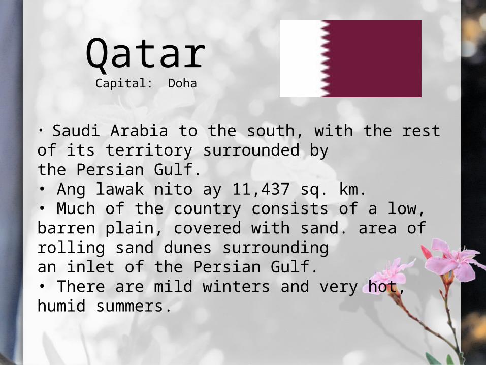
QatarCapital: Doha
• Saudi Arabia to the south, with the rest of its territory surrounded by the Persian Gulf.• Ang lawak nito ay 11,437 sq. km.• Much of the country consists of a low, barren plain, covered with sand. area of rolling sand dunes surrounding an inlet of the Persian Gulf.• There are mild winters and very hot, humid summers.

Desert landscape in Qatar
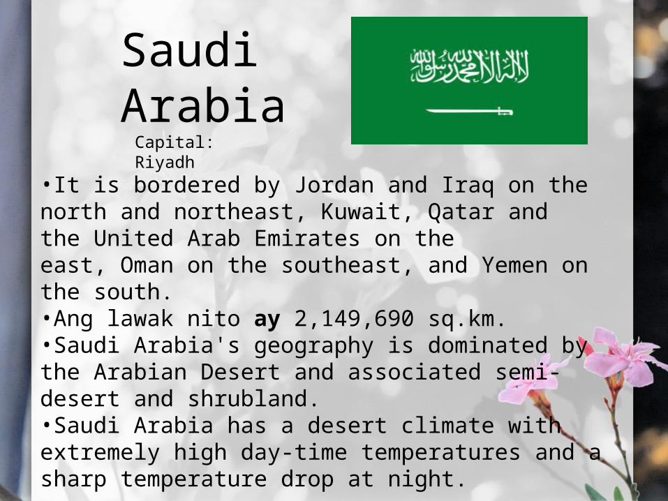
Saudi ArabiaCapital: Riyadh
•It is bordered by Jordan and Iraq on the north and northeast, Kuwait, Qatar and the United Arab Emirates on the east, Oman on the southeast, and Yemen on the south.•Ang lawak nito ay 2,149,690 sq.km.•Saudi Arabia's geography is dominated by the Arabian Desert and associated semi-desert and shrubland.•Saudi Arabia has a desert climate with extremely high day-time temperatures and a sharp temperature drop at night.
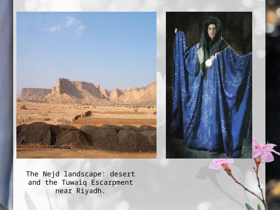
The Nejd landscape: desert and the Tuwaiq Escarpment
near Riyadh.

SyriaCapital: Damascus
•A country in Western Asia, bordering Lebanon and the Mediterranean Sea to the West, Turkey to the north, Iraq to the east, Jordan to the south, and Israel to the southwest.•Ang lawak nito ay 185,180 sq.km.•It consists mostly of arid plateau, although the northwest part of the country bordering the Mediterranean is fairly green. •The climate of Syria varies from Mediterranean at the coast to dry in the interior region.

Burj Islam, a well known beach.

TurkeyCapital : Ankara
•Turkey is bordered by eight countries: Bulgaria to the northwest; Greece to the west; Georgia to the northeast; Armenia,Azerbaijan and Iran to the east; and Iraq and Syria to the southeast.•Ang lawak nito ay 780,580 sq.km.•The Asian part of the country, Anatolia, consists of a high central plateau with narrow coastal plains, between the Köroğlu and Pontic mountain ranges to the north and the Taurus Mountains to the south.•The coastal areas of Turkey bordering the Aegean Sea and the Mediterranean Sea have a temperate Mediterranean climate, with hot, dry summers and mild to cool, wet winters.
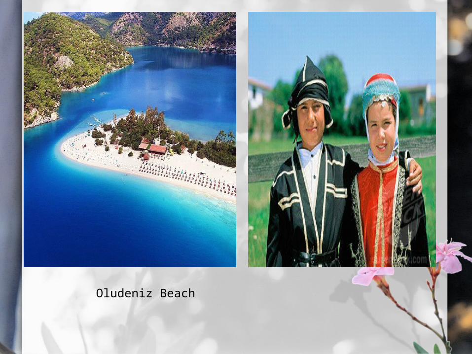
Oludeniz Beach
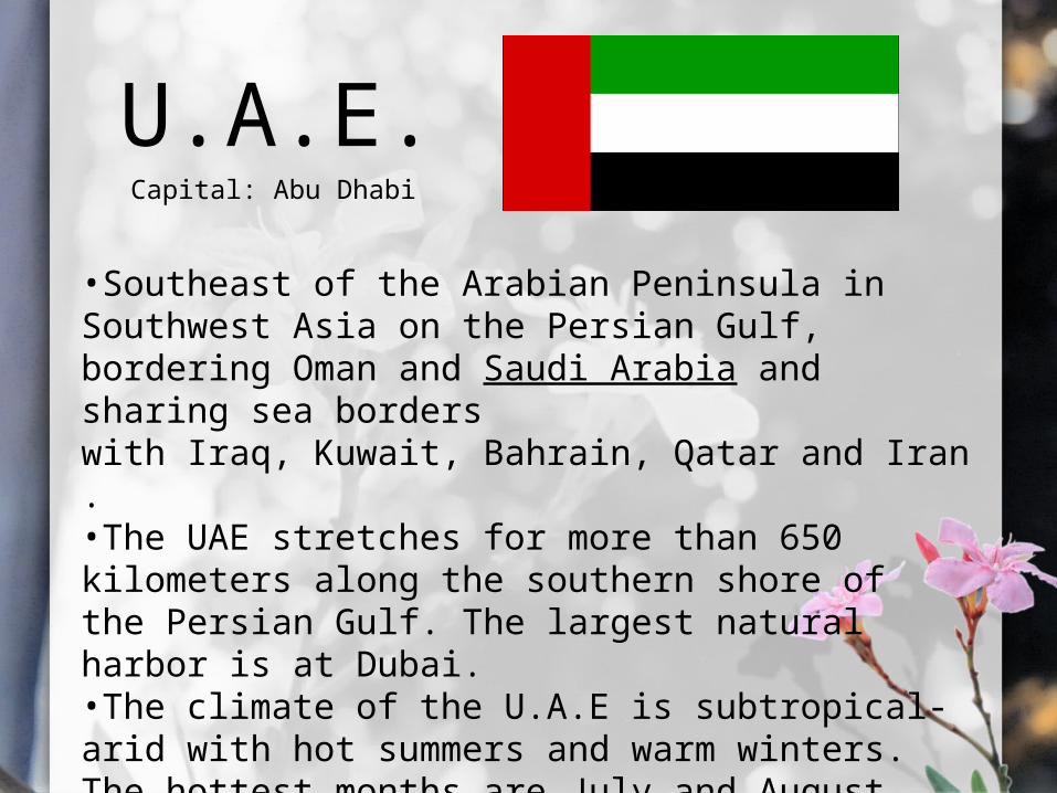
U.A.E.Capital: Abu Dhabi
•Southeast of the Arabian Peninsula in Southwest Asia on the Persian Gulf, bordering Oman and Saudi Arabia and sharing sea borders with Iraq, Kuwait, Bahrain, Qatar and Iran.•The UAE stretches for more than 650 kilometers along the southern shore of the Persian Gulf. The largest natural harbor is at Dubai.•The climate of the U.A.E is subtropical-arid with hot summers and warm winters. The hottest months are July and August.

The mountainous region in the north
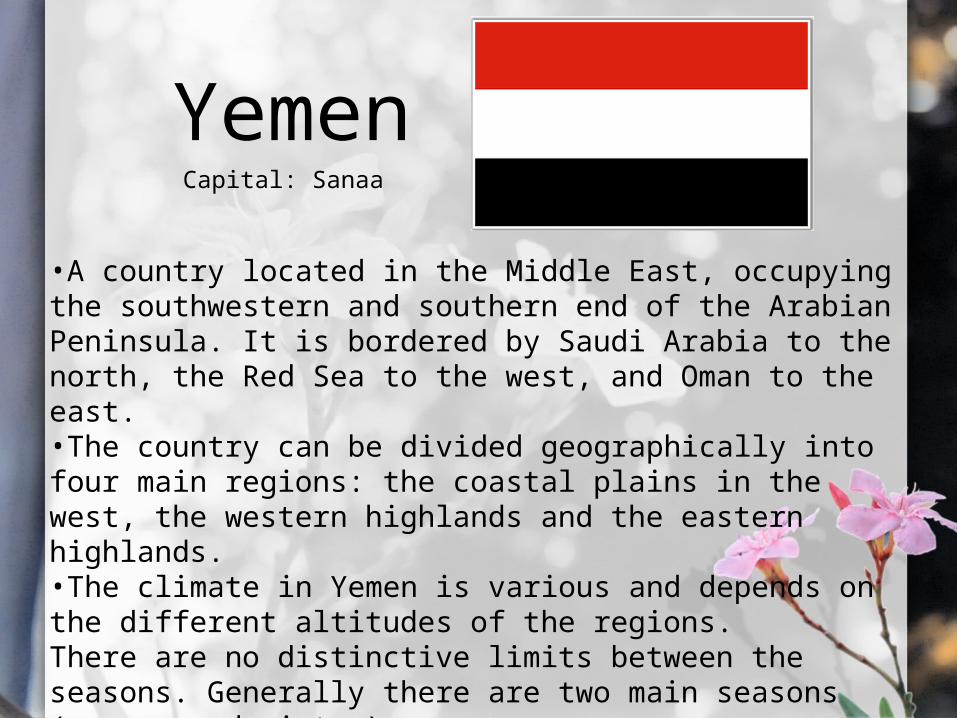
YemenCapital: Sanaa
•A country located in the Middle East, occupying the southwestern and southern end of the Arabian Peninsula. It is bordered by Saudi Arabia to the north, the Red Sea to the west, and Oman to the east.•The country can be divided geographically into four main regions: the coastal plains in the west, the western highlands and the eastern highlands.•The climate in Yemen is various and depends on the different altitudes of the regions.There are no distinctive limits between the seasons. Generally there are two main seasons (summer and winter).
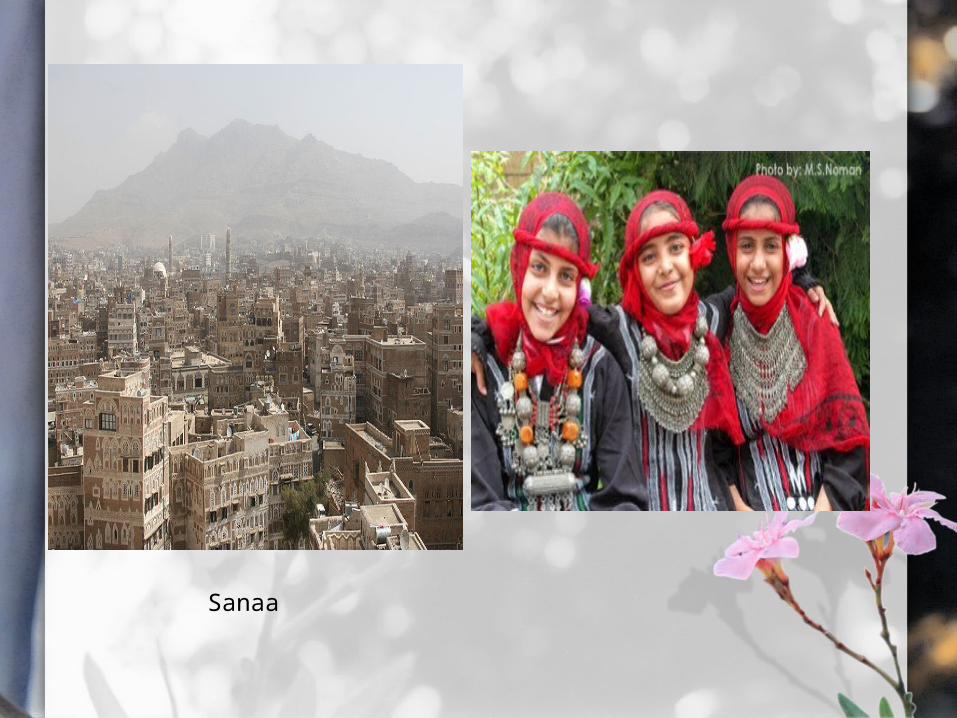
Sanaa

“The End”Group 3 :
Chaizelle Irish IlaganIvan Dela Cruz
John Louis ColomaVon Nairo Dela CruzAlfred James Donaire
Meynard SomajitKhin Yee Yee Htun
Mara Lorenzo
Recommended