Embed Size (px)
Citation preview

Qualitative and Quantitative Synopsis on NAIP Usage from
2004-2008
(Version 1.2)
USDA Farm Service Agency
Aerial Photography Field Office Salt Lake City, UT 84119
November 2008

Contents Page No.
Overview 3 Quantitative Usage – Gateway Statistics 4-13 Quantitative Usage – APFO Customer Service (Sales) Numbers 14 Quantitative Usage – GDW Web Services 15 Qualitative Usage 16-20 Summary 21 Contributors 22 Appendix A – Gateway Live Queries (May be Provided Upon Request) Appendix B – Oracle Queries 2005-2008 (May be Provided Upon Request) Appendix C – Information and Distribution Nodes (Document Attached Separately)
Version 1.2 2

Overview The following report is a brief synopsis of NAIP usage, volume and purpose, over the past 3-5 years, primarily within the federal government, but with due consideration to the private sector, educational sector, and industry. Documentation includes:
• Quantitative description of requests, from the USDA Geospatial Data Gateway, USDA-FSA-APFO Customer Service (Sales) numbers, and Geospatial Data Warehouse (GDW) Web Services.
• Qualitative documentation, including uses and cases from the public domain, the scholastic arena, government, industry, etc.
This document is versioned. The current version is Version 1.2
Version 1.2 3

Quantitative Usage – Gateway Statistics Gateway Live Queries A series of live queries was performed on the USDA Geospatial Data Gateway, on 11/10/2008 and 11/13/2008. The queries allowed for general results by email domain and by product type. Note that not all possible email domains were queried, thus, the results are a simple sampling of total usage by customer domain, not an all inclusive list. Please see Appendix A for additional content. General Trends:
• NAIP products have been requested from the Gateway nearly 400,000 times since FY06
• .com domains requested NAIP most frequently since FY04, with .net, .gov, .org, .mil, and .edu following behind. Outside of the .com arena, .net, .gov, and .edu users generally showed the highest levels of requests, especially for the most current data in the following FY (e.g. 2006 NAIP requested in FY07).
• In FY08 alone o DOI (only including USGS, BLM, FWS, and NPS email domains) ordered
NAIP over 3,000 times o MIL (only including Air Force and Army email domains) ordered NAIP
over 2,400 times o TVA ordered NAIP over 200 times o Census ordered NAIP over 600 times
Gateway Requests (Count) for NAIPBased on Gateway Queries from 11/13/08
0
20000
40000
60000
80000
100000
120000
140000
160000
FY04 FY05 FY06 FY07 FY08 FY09
Fiscal Year
Num
ber
of R
eque
sts
(Cou
nt)
2008 NAIP2007 NAIP2006 NAIP2005 NAIP2004 NAIP2003 NAIP
Version 1.2 4

Gateway Requests (Volume) for NAIPBased on Gateway Queries from 11/13/08
0.00
10000.00
20000.00
30000.00
40000.00
50000.00
60000.00
70000.00
80000.00
FY04 FY05 FY06 FY07 FY08 FY09
Fiscal Year
Vol
ume
(GB)
2008 NAIP2007 NAIP2006 NAIP2005 NAIP2004 NAIP2003 NAIP
Gateway Database The USDA Geospatial Data Gateway allows for (with administrative privileges) fiscal year access databases to be downloaded. These databases, once analyzed, provide for deeper insight to Gateway usage than can be accomplished with live queries. Below is a series of charts based on these access database queries.
Version 1.2 5

Version 1.2 6

Version 1.2 7

Version 1.2 8

Version 1.2 9

Version 1.2 10

Version 1.2 11

Version 1.2 12

Version 1.2 13

Quantitative Usage – APFO Customer Service (Sales) Numbers Queries from APFO Oracle Tables on 11/10/08:
• 1,189,442 Units of NAIP (as the source) were requested from FY05-08. Note that this is number of units, not number of orders. One order could be placed for several thousand (or just one) unit.
• Number of Units (various NAIP products) Requested by Agency FY05-08 (see Appendix B for complete listing).
o AGRICULTURE RESEARCH SERVICE – 32 o ANIMAL & PLANT HEALTH INSPECTION SERVICE – 146 o BUREAU OF INDIAN AFFAIRS – 18 o BUREAU OF LAND MANAGEMENT – 93 o BUREAU OF RECLAMATION – 135 o DEPARTMENT OF DEFENSE – 264,545* o DEPARTMENT OF ENERGY – 235 o DEPARTMENT OF JUSTICE – 9,124 o DEPARTMENT OF TRANSPORATION – 5,057 o FISH & WILDLIFE SERVICES – 171 o FOREST SERVICE – 581 o GEOLOGICAL SURVEY – 47,539 o NATIONAL AGRICULTURAL STATISTICAL SERVICE – 7,928 o NATIONAL OCEANIC ATMOSPHERIC ADMINISTRATION – 4,124 o NATIONAL PARK SERVICE – 68,267 o NATURAL RESOURCES CONSERVATION SERVICE – 1,620 o NON-FEDERAL – 68,823** o TENNESSEE VALLEY AUTHORITY – 3 o U.S. ARMY – 449 o U.S. NAVY – 264,808 o STATE UNITS – 54,335***
* If the requestor did not identify which DoD agency they represented, numbers fall under the general DoD designation. ** Non-Federal means the general public *** State refers to State, County, City, or other local government
Version 1.2 14
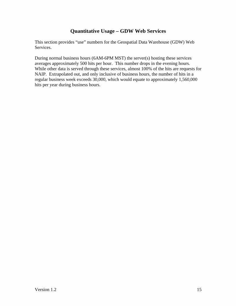
Quantitative Usage – GDW Web Services This section provides “use” numbers for the Geospatial Data Warehouse (GDW) Web Services. During normal business hours (6AM-6PM MST) the server(s) hosting these services averages approximately 500 hits per hour. This number drops in the evening hours. While other data is served through these services, almost 100% of the hits are requests for NAIP. Extrapolated out, and only inclusive of business hours, the number of hits in a regular business week exceeds 30,000, which would equate to approximately 1,560,000 hits per year during business hours.
Version 1.2 15

Qualitative Usage Nodes of Distribution A small list (subsample) of NAIP information and distribution node links has been provided in Appendix C. The list includes only “http” links (no FTP links have been included). These links have not been reviewed for accuracy, content, or currency; they are simply returns from web searches and direct input from contributors to the content of this document. The links generally fall into a combination of one, two, or more of the following categories:
• Data for download • Data accesses via viewer or application • Data for free • Data for sale • Informational • Metadata • Advertisement
As an example of the breadth of distribution of information and data related to NAIP, the following is a “hit count” from three primary internet search engines.
• Web Live Search Results on “NAIP Imagery” – 76,900 • Web Google Search Results on “NAIP Imagery” – 348,000 • Web Yahoo Search Results on “NAIP Imagery” – 114,000
Mapdex (http://www.mapdex.org/search/) is a geographic search engine. When the search criteria “NAIP” is used, returns provide a listing of 79 servers, and 740 layers “NAIP” resides in or is associated with. Ramona (http://gisinventory.net/ ) is produced by the National States' Geographic Information Council (NSGIC) as a tool for states and their partners. Its primary purpose is to track the status of GIS in US states and local governments to aid the planning and building of Spatial Data Infrastructures. It is designed to work in concert with Geospatial One Stop (GOS). When searching NAIP on Ramona, 28 users are identified. Publications The following is a very brief list of white papers or publications related to, or using NAIP in some manner. This is by no means a complete listing; rather a sampling. Some articles and publications were created with input from FSA-APFO. Other publications were created without APFO’s knowledge. Many publications not listed below may also be found through the links provided in Appendix C.
• Nonpoint Source Phosphorus Trading in the Cherry Creek Reservoir Watershed in Colorado by T. Andrew Earles, Ph.D., P.E., D.WRE; Wayne F. Lorenz, P.E.; Wilbur L. Koger; and Molly Y. Trujillo, P.E – NAIP used as a base map.
Version 1.2 16

• PE&RS – GeoSAR – Fugro EarthData – NAIP used as an ancillary dataset during research and analysis.
• NPR Report http://www.npr.org/templates/story/story.php?storyId=5710986
• ESRI 2007 User Conference NAIP Report http://gis.esri.com/library/userconf/proc07/papers/papers/pap_1104.pdf
• Professional Surveyor Magazine http://redigitaleditions.com/ActiveMagazine/getBook.asp?Path=PRS/2007/10/01&BookCollection=PRS&ReaderStyle=WithPDF&ViewFullCover=1
• Earth Imaging Journal http://www.eijournal.com/Agri_Imagery.asp
• Tree Measurements by Means of Digital Aerial Photogrammetry by Ilkka Korpela • Application of Large Scale GPS Controlled Aerial Photos for Forest Inventory, by
Megown, Caylor, Callejas, and Finco • Spectral Enhancement and Automated Extraction from Kentucky’s NAIP Imagery
of Potential Sinkhole Features, Trigg County, Kentucky, USA--Initial Investigations by J. S. Dinger, D. P. Zourarakis, and J. C. Currens http://www.iseis.org/eia/pdfstart.asp?no=06028
• Kentucky’s On-Line Bi-Temporal Land Cover Change and Image Comparison Tool http://www.iseis.org/eia/pdfstart.asp?no=06030
• Assessing Urban Tree Canopy in Virginia Localities by Jen McKee, John McGeeand, Randy Wynne, Virginia Tech Department of Forestry
• “Using ArcGIS for Radar Analysis and Map Production for USDA NAIP Test Program” by Steven Shaffer (GeoSAR Project Manager, Fugro EarthData, Incorporated, Frederick, MD USA) http://gis.esri.com/library/userconf/feduc08/papers/453.pdf
NAIP Survey – Usage Information
From 2005 to 2007, FSA-APFO has administered a NAIP Survey in order to monitor NAIP program implementation, note where improvements may be made, and where the program is currently excelling. The following is an excerpt from the 2007 NAIP Survey. It shows by volume the most frequent uses of NAIP imagery, outside of “regular” FSA activities.
Version 1.2 17

• 92% of respondents find NAIP useful for measurement services • 69% of respondents find NAIP useful for historical purposes • 56% of respondents find NAIP useful for general planning activities • 49% of respondents find NAIP useful for disaster preparation • 42% of respondents find NAIP useful for government coordination
From the open ended response portion of this question, many additional FSA uses of NAIP were identified by the state and county users. In general, alternative uses included but were by no means limited to:
• Acreage reporting and map changes • Support federal farm programs • Conservation practices • Education • Irrigation determinations • Land classification • General monitoring • Agricultural certification • Program eligibility • Real estate/land sales • Construction and development • General mapping activities • Providing customers maps • Environmental issues • Drought determinations • Flooded area determinations
Version 1.2 18

• Public health and safety • Water rights • Rangeland assessment • Forest management plans • Appeals • Activities involving Conservation Reserve Program (CRP) • Activities involving Common Land Unit (CLU)
Many of these activities are not unique to FSA. Many of the above activities are seen across spectrum, in other federal, state, and local agencies, in the scholastic arena, for private customer, and within industry. Other Known Uses The following is a short list of other known uses of NAIP.
• 3d modeling. • Access management. • Canopy analysis. • Change detection • Coastal and shallow water mapping. • Consulting services. • Curriculum for a variety of university course work. • Engineering applications. • Environmental monitoring activities. • Environmental impact analysis. • Farm modeling and overview. • Green space. • Ground truth. • Habitat analysis. • Hydrology. • Infrastructure maintenance. • Irrigation maintenance and scheduling. • Land ownership. • Land use and affects on shorelines. • Landscape architecture. • Locating vector data and adding raster data via script. • Mapping and evaluating forest land accurately and in a timely manner. • Monitoring livestock containment sites. • Monoscopic revision of quad maps. • Multi-temporal classification. • Photogrammetric requests. • Recreational usage for mapping (e.g. biking, hiking, camping, fishing). • Remote sensing, land use change
Version 1.2 19
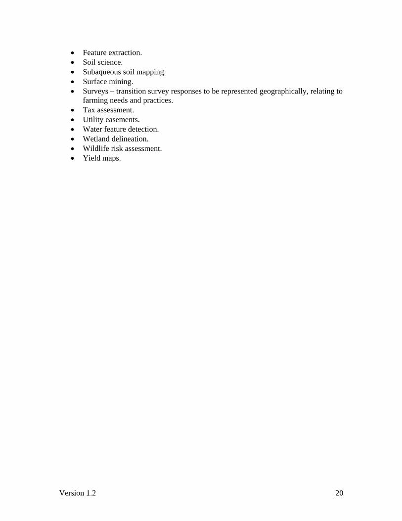
• Feature extraction. • Soil science. • Subaqueous soil mapping. • Surface mining. • Surveys – transition survey responses to be represented geographically, relating to
farming needs and practices. • Tax assessment. • Utility easements. • Water feature detection. • Wetland delineation. • Wildlife risk assessment. • Yield maps.
Version 1.2 20

Summary The use of imagery spans all parts of the government and the private sector. This report was intended to be a brief synopsis of the extent that one imagery program has impacted the world of geospatial data based on qualitative and quantitative usage, within the government (at all levels), industry, and the general public. In order to make collection of this type of information more thorough and streamlined, it is recommended that the NAIP and/or Imagery Requirements Surveys be implemented across federal agencies.
Version 1.2 21

Contributors Adkins, Zachary – GIS Specialist, APFO Bloomquist, Jeffrey – FSA State GIS Coordinator/Geodata Administrator, MN Clarke, Kevin – GDW Project Leader, APFO Crook, Bryan – FSA State GIS Coordinator, TX Davis, David – GIS Specialist, APFO Eichhorn, Cinthia – FSA State GIS Specialist, WY Hinkley, Sandra – GIS Specialist, APFO Hunt, Ryan – FSA State GIS Specialist, AZ James, Bill – FSA State GIS Specialist, OK Janes, Dan – FSA State GIS Management Analyst, ND Krampien, Jason – USDA APHIS Veterinary Services Lambeth, James – FSA State GIS Specialist, NC Luedeke, Gretta – FSA State Ag Program Specialist, MD Madding, Daniel – ISS Director, NCDA Mathews, Louise – GIS Specialist, APFO Mertz, Dan – FSA State GIS Specialist/Coordinator, VA Norton, Marilyn – FSA State Program Specialist, NH Ogden, Ken – FSA State GIS Specialist, CA/NV Perry, Guy – FSA State GIS Specialist, KY Pugh, Nathan – GIS Specialist, APFO Rawson, Karen – FSA State Ag Program Technology, Specialist, IA Rotz, Christina – Agricultural Program Specialist, PA Savage, April – FSA State GIS Specialist, WV Soileau, Marilu – FSA State Program Specialist, CT Smith, James – FSA State GIS Specialist, MS Turenne, Jim – NRCS Assistant State Soil Scientist, RI Vanderbilt, Brian – Chief, Geospatial Services Branch, APFO Widner, Dan – Coordinator, Geographic Information Network, VA Willbrant, Scott – FSA State Office, KS Williams, Toni – FSA State GIS Specialist, ID For additional information: please contact [email protected].
Version 1.2 22