Embed Size (px)
Citation preview
M A P B O X S U R F A C E A P IY O U R O W N C U S T O M G E O A P I


“A REST API that allows
users to programmatically
query data within a map”


a.tiles.mapbox.com/v4/bobbysud.iia43k9m/5/16/10.png

http://wiki.openstreetmap.org/wiki/
Tile_Disk_Usage

a.tiles.mapbox.com/v4/bobbysud.iia43k9m/5/16/10.vector.pbf


40m
50m 45m


R E C A P
All data stored as vector tiles
Coordinate converted to ZXY
Load corresponding tile
Parse data of vector tile
Find 2 closest objects to in tile
Interpolate
All done asynchronously

mapbox.com/developers/api/surface

https://api.tiles.mapbox.com/v4/surface/mapbox.mapbox
Sample Request

mapbox.mapbox-terrain-v1.json
Mapbox mapid
Required. Only can specify 1 mapid.

layer
layer=contour
Required. Only can specify 1 layer.


fields=ele
fields
At least 1 field required. Can add more separated via a comma.

layer
field
field

fields=house_num,osm_id
fields
At least 1 field required. Can add more separated via a comma.
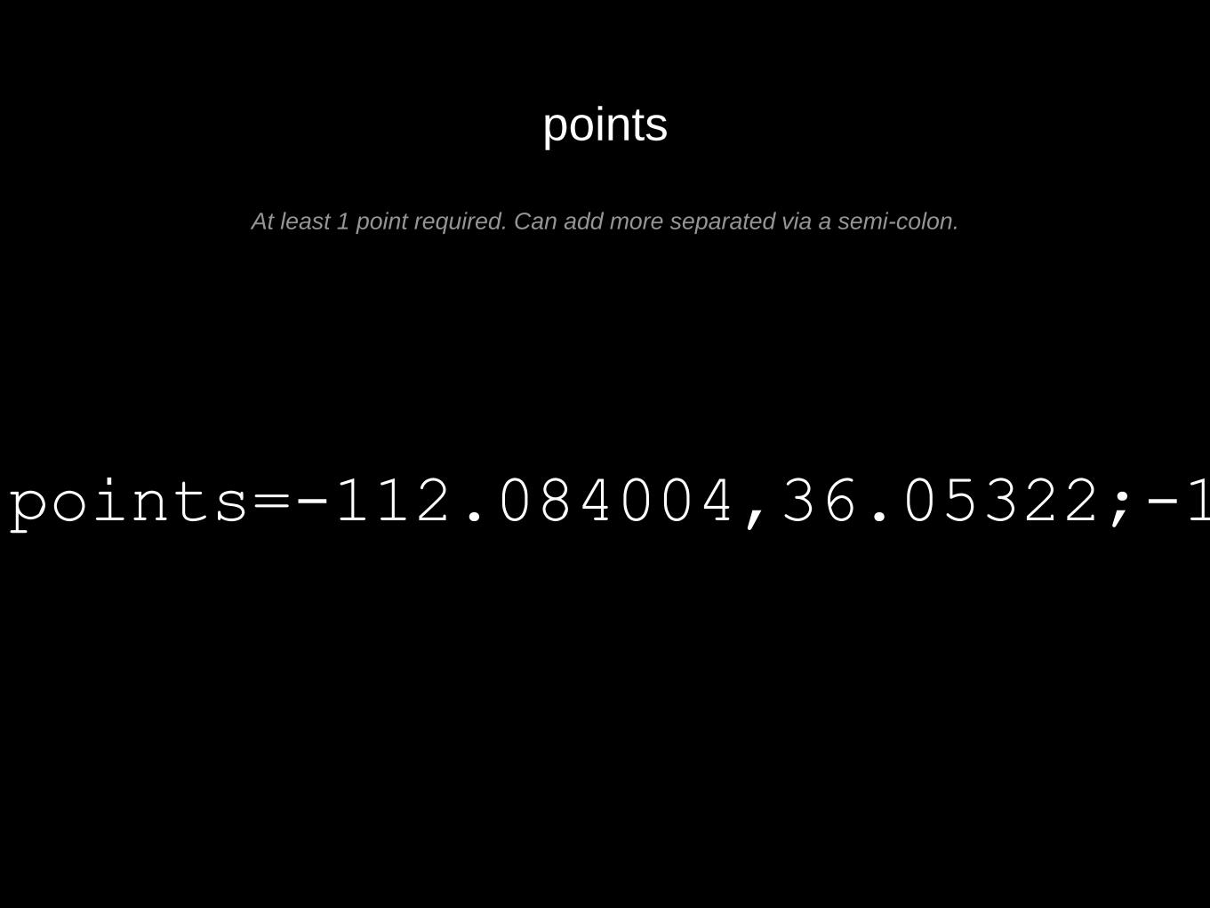
points=-112.084004,36.05322;-112.083914,36.053573;
points
At least 1 point required. Can add more separated via a semi-colon.


V O L U M E D E M O
https://www.mapbox.com/labs/surface/drone/#16/46.6545/6.5388

S T A T S
Thousands of features
300 Points
Average response time: 400ms*


L I M I T A T I O N S


6 tiles, ~1,000 features

1 tile, potentially many more features

> Z O O M L E V E L = M O R E T I L E S B U T L E S S
F E A T U R E S

L I M I T S
max 300 point limit
max 70 vector tiles
Extremely dense tiles

F U T U R E


@bobws
mapbox.com/developers/api/surface