Embed Size (px)
Citation preview

5 Themes of GeographyChapter 1
Objective: Identify the 5 themes of geography and their significance to the field of study.
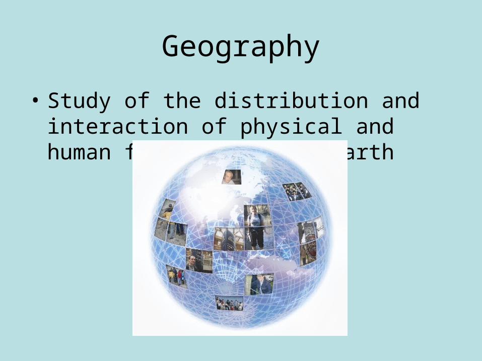
Geography
• Study of the distribution and interaction of physical and human features on the earth

5 Themes-Location
• “Where is it?”
• Absolute-exact• Relative-comparative
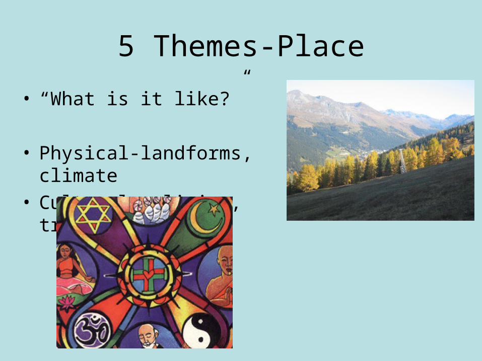
5 Themes-Place
• “What is it like?”
• Physical-landforms, climate• Cultural-religion, traditions
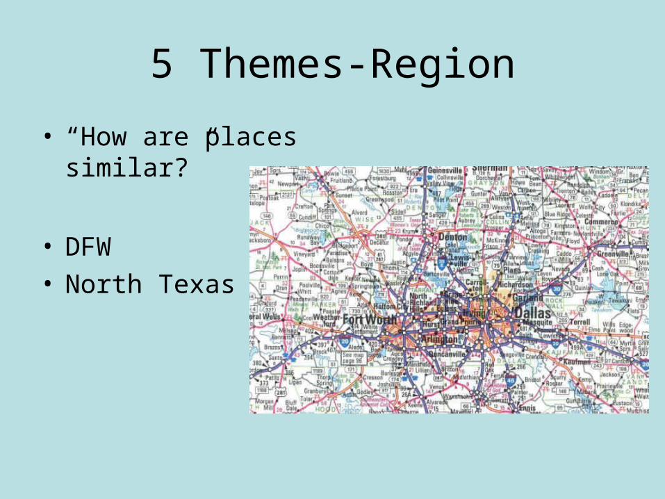
5 Themes-Region
• “How are places similar?”
• DFW• North Texas

5 Themes- Human-Environment Interaction
• “How do people interact with the environment?”
• Depend-rivers
• Modify-roads
• Adapt-clothes

5 Themes- Movement
• “How do people, goods, and ideas move from place to place?”
• Technology is important factor

• Economic – financial issues, business
• Social – Culture, society
• Political – government, leaders
• Nature – Environment, resources, physical geography

Discussion
• Is the theme of place more closely associated with longitude or latitude? Defend your response with evidence.

Discussion
• With your group, apply each of the five themes of geography to Colleyville, Texas.

Equator
• An imaginary line that divides the earth into northern and southern halves
Objective: Identify elements of maps and the globe and explain how they are useful

Prime meridian
• Imaginary line dividing the earth into eastern and western halves

Hemisphere
• Half of the earth
• Northern, southern, eastern, western

Globe
• 3-Dimensional representation of earth
• Not portable

Cartographer
• Person who makes maps
• Maps are 2-D, distort landmasses, and are portable

Topographic Map
• Shows natural and man-made features on the earth

Thematic Map
• Emphasizes specific information like climate or vegetation or population

GIS-Geographic Information System
• A system that uses digital map information to create a databank
• Can add or remove
different layers to
highlight certain
information