Embed Size (px)
Citation preview


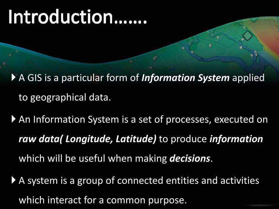
A GIS is a particular form of Information System applied
to geographical data.
An Information System is a set of processes, executed on
raw data( Longitude, Latitude) to produce information
which will be useful when making decisions.
A system is a group of connected entities and activities
which interact for a common purpose.

GIS is a System of computer software, hardware
and data, and personnel to help manipulate, analyze
and present information that is tied to a spatial location
• spatial location – usually a geographic location
• Information – visualization of analysis of data
• System – linking software, hardware, data
• Personnel – a thinking explorer who is key to the
power of GIS


sis
Get spatial & attribute data into the GIS. Here we collect preprocess data from various sources.
Organize data for retrieval and editing. This subsystem allows we to manage, view, and edit our datasets.
Create thematic maps, models, and statistics.
Perform tasks on data. With this subsystem, we conduct spatial analysis to create information

CaptureData
RegisterMap Base
InterpretData
Convert Datato DigitalFormat
Store Datain Computer
ProcessData
DisplayResults


GIS on the Internet
• Olympics
— http://citymap.cityofsydney.nsw.gov.au/
• National Geographic Map Machine
— http://www.nationalgeographic.com/maps.index.html
• Find a Home — http://www.realtor.com
• ATM Locator — http://www.visa.com
• Store Locator — http://www.godiva.com
• GIS Info — http://www.gis.com