Drones in Environmental Management
Kurt W. Smith, PhD
Objectives:
Provide an Overview of Drone Technology
Environmental Applications of Drone Technology
Other Considerations
Questions, Comments, Discussion
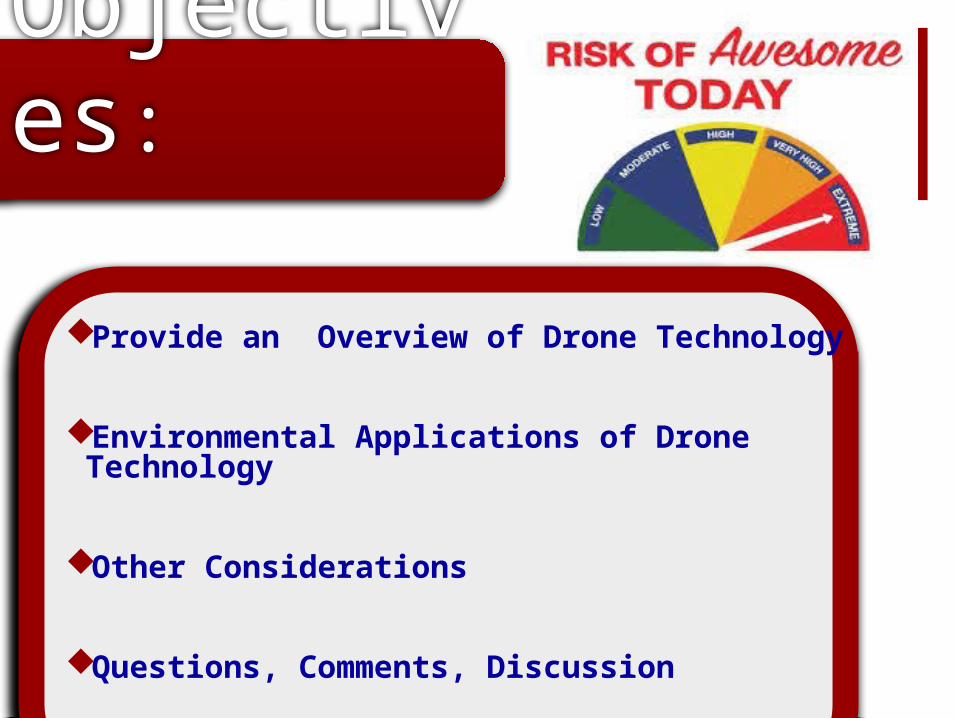
An aircraft with the capacity to fly autonomously due to the support of on board computers and sensors.
The US military has poured billions of dollars of research into these high tech tools, and now provide a low-cost option to the commercial market.
What is a Drone?
(Source: Cielmap2012)


Anyone Can Afford Them
High quality drones now reach down to a price of as little as $1,000
Drones can now be a part of nearly any enterprise that can use them.
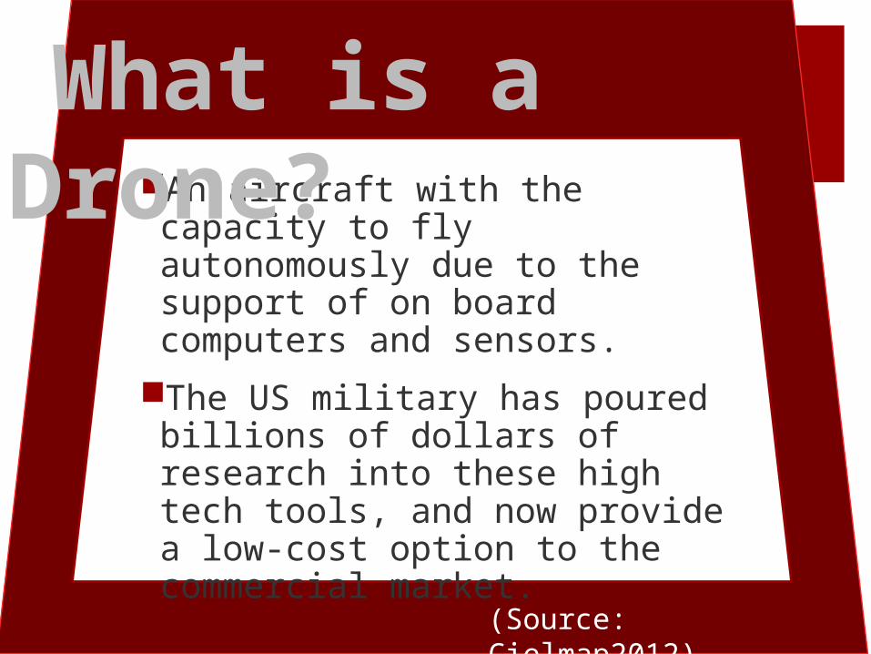
Drone Nomenclature
MAV (Micro Air Vehicles): These aircraft are very small and operate at very low altitudes.
VTOL (Vertical Take-Off & Landing): These aircraft require no vertical takeoff or landing
LASE (Low Altitude, Short-Endurance): Launched by hand or catapult.
LASE Close: Do require runways, larger size and weight confer increased capabilities.
LALE (Low Altitude, Long Endurance): These UAS may carry payloads at high altitudes for extended periods.
MALE (Medium Altitude, Long Endurance): Operating at high altitudes (9000m) for long extended distances.
HALE (High Altitude, Long Endurance): These are the largest of the UAS. These UAVs may fly at high altitudes (20,000 m) for distances that extend thousands of km.

Eco-Drones
The technology while best known for gathering military intelligence now can perform environmental work at a fraction of the cost.
Drones used for these purposes are known as eco-drones or conservation drones. Their agility and low cost quality imaging make them the ideal tool for environmental monitoring.
(UNEP, May 2013)
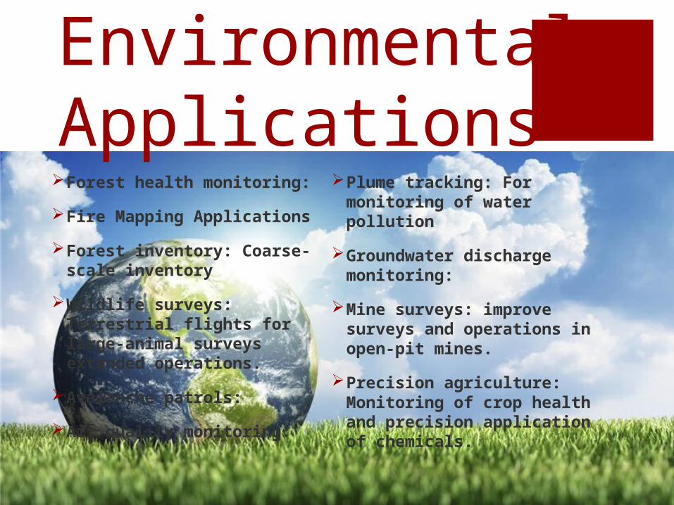
Environmental Applications Forest health monitoring:
Fire Mapping Applications
Forest inventory: Coarse-scale inventory
Wildlife surveys: Terrestrial flights for large-animal surveys extended operations.
Avalanche patrols:
Air quality monitoring:
Plume tracking: For monitoring of water pollution
Groundwater discharge monitoring:
Mine surveys: improve surveys and operations in open-pit mines.
Precision agriculture: Monitoring of crop health and precision application of chemicals.
Brazil has purchased 14 drones for US$350 million for the Sao Paul Environmental Police to monitor deforestation in the Amazon, track poachers and seek out illegal mining
operations (Cohen, 2011).
International Application
The World Wildlife Fund (WWF) has been using drones, to monitor illicit trade in Africa by tracking poachers and the
wildlife they are pursuing in real time (WWF, 2012).
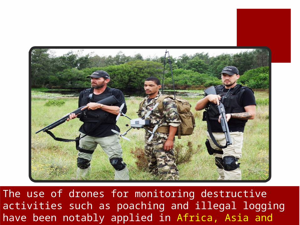
The use of drones for monitoring destructive activities such as poaching and illegal logging have been notably applied in Africa, Asia and South America.
Drones can be used to monitor highways vulnerable to landslides, using high resolution cameras to detect cracks that may indicate the onset of a landslide. Data collected from the drone can be used by authorities to initiate early warning allowing people to escape and those travelling to the area to avoid the disaster event before it occurs (Hinkley and Zajkowski, 2011).
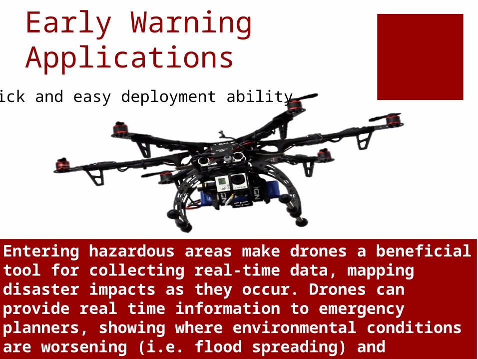
Early Warning Applications
The use of drones for early warning of forest fires has been tested by the US Forest Service. By collecting data on forest fires, firefighters can better plan and manage fires. While manned helicopters and planes could collect similar information, the flight costs, and risks involved are high. (Hinkley and Zajkowski, 2011)
Quick and easy deployment ability
Entering hazardous areas make drones a beneficial tool for collecting real-time data, mapping disaster impacts as they occur. Drones can provide real time information to emergency planners, showing where environmental conditions are worsening (i.e. flood spreading) and contribute to rescue efforts. (Hinkley and Zajkowski, 2011).
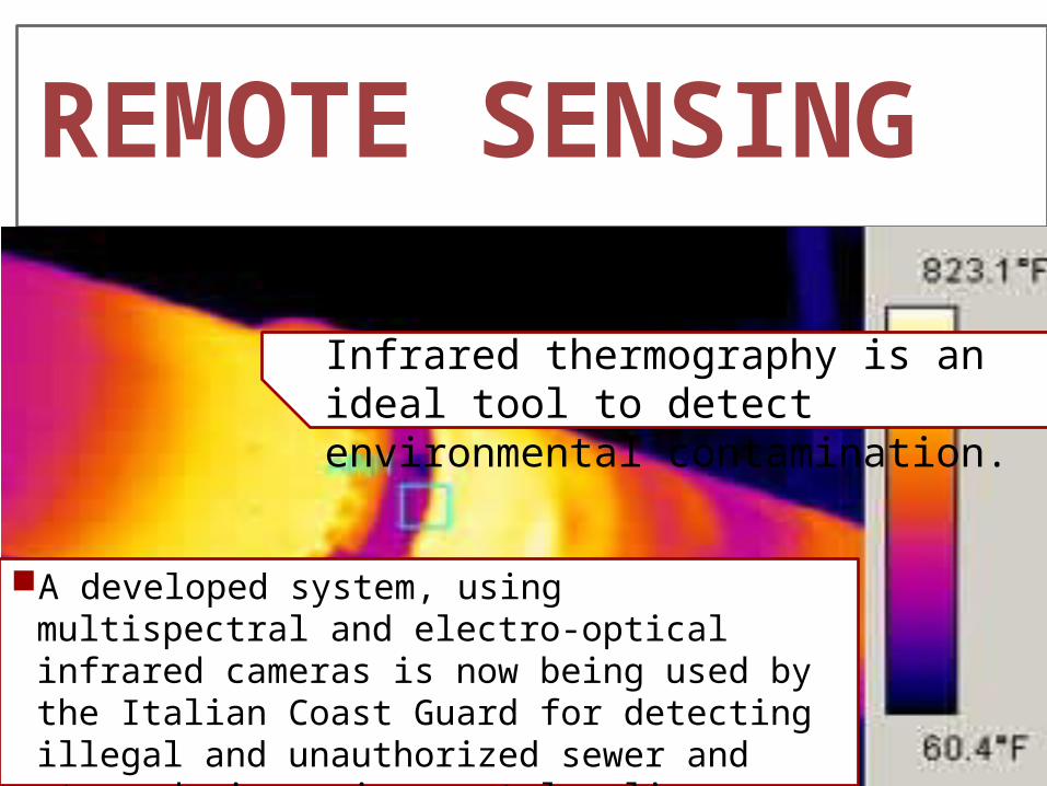
REMOTE SENSING
A developed system, using multispectral and electro-optical infrared cameras is now being used by the Italian Coast Guard for detecting illegal and unauthorized sewer and storm-drain environmental policy violations.(Watts, Ambrosia, Hinkley, E.A., 2012)
Infrared thermography is an ideal tool to detect environmental contamination.
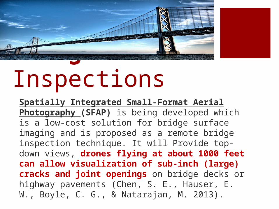
Bridge InspectionsSpatially Integrated Small-Format Aerial Photography (SFAP) is being developed which is a low-cost solution for bridge surface imaging and is proposed as a remote bridge inspection technique. It will Provide top-down views, drones flying at about 1000 feet can allow visualization of sub-inch (large) cracks and joint openings on bridge decks or highway pavements (Chen, S. E., Hauser, E. W., Boyle, C. G., & Natarajan, M. 2013).

Water Quality Assessment and Sampling
The University of Nebraska-Lincoln and the University of California-Berkeley were jointly awarded a nearly $1 million grant from the US Department of Agriculture for developing drones that can take water quality samples from lakes, rivers and streams). The project is still in the development stage, but the helicopter-type drones can already be deployed to collect small volume water samples from remote areas then return samples to the ground
(Abourezk, 2013)

Many state and federal fish and wildlife agencies include a law enforcement arm. Some proposed legislation is loosely-written, and severely limits the use of drones by “law enforcement agencies” (The Pew Research Center 2014).
Disputes Over Drones UsePoliticians tend to follow public sentiment, thus increased
awareness of drones has resulted in numerous bills being introduced in various state legislatures seeking to limit their use. Between the 2013 and 2014 state legislative sessions, over 40 states introduced bills addressing drones. Federal regulations are already in place, with more under review (The Pew Research Center 2014).
Americans were recently surveyed about drone use, and 63% indicated that uninhibited personal and commercial drone use would represent a change for the worse.
The ability of misuse and “mischief” with drones is real, and will undoubtedly develop into a new field of law, regulation, prohibited and permitted uses (The Pew Research Center 2014).
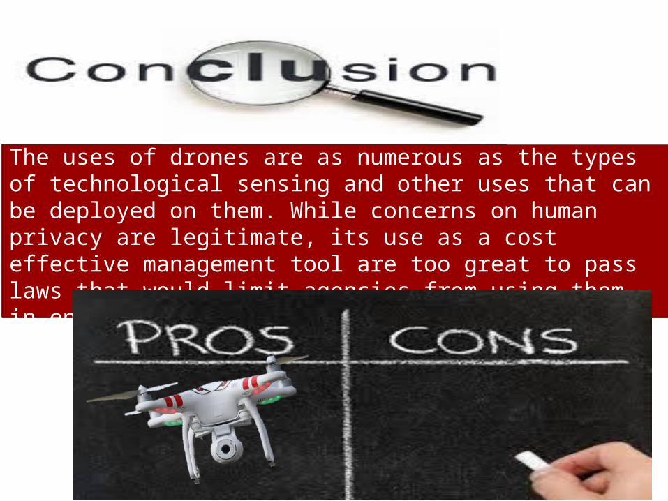
The uses of drones are as numerous as the types of technological sensing and other uses that can be deployed on them. While concerns on human privacy are legitimate, its use as a cost effective management tool are too great to pass laws that would limit agencies from using them in environmental management, and other beneficial uses for the public good.
Questions & Comments
Kurt W. Smith
Professor of Environmental Management
Methodist University
Fayetteville, NC
Thanks for Listening!!
Recommended