Embed Size (px)
Citation preview

Thinking Geographically

Two Categories of Geography Human Physical
Each ask “where” and “why”

Two basic concepts
Why is every place unique? Place : Specific point on Earth
distinguished by a particular characteristic
Region: An area of Earth distinguished by a distinctive combination of cultural and physical features.

Key Issue 1: Maps
Scale model of the real world Two dimensional or flat-scale model
of Earth’s surface Two purposes:
Reference tool: Find shortest route between two places, where something is in relation to something else
Communication tool: distribution of human activities or physical features.

The Early Years: Maps
7th & 8th century Middle East (earliest) Thales: applied geometry to measuring
land area Aristotle: 1st to show Earth was spherical Eratosthenes: 1st to use “geography” Ptolemy: 8 volume “Guide to
Geography” 17th century: maps accurately displayed
the outline of most continents and ocean positions

Map Scale
Ratio/Fraction: 1:24,000 Written: 1 inch equals 1 mile Graphic: Bar Line

Projection
Scientific method of transferring locations on Earth’s surface to a flat map
Drawing Earth on a flat piece of paper causes some distortion. 4 types of distortion
Shape: can appear more elongated or squat Distance: increased or decreased Relative Size: can be altered, one area may be
smaller than shown Direction: can be distorted

Equal Area Projection
Relative sizes of the land is same as in reality
Areas around North/South poles become distorted (not an issue since few inhabitants)
Eastern and Western hemispheres are in 2 pieces (called interruption)
Meridians that converge at North/South poles in reality don’t on map; nor form right angles with their parallels.

Uninterrupted Projections Robinson
Good for ocean information Land tends to be smaller
Mercator Little shape distortion Rectangular map More consistent direction Pole regions distorted, high latitudes
appear larger

US Land Ordinance of 1785
Divided the country into a system of townships and ranges to facilitate the sale of land to settlers in the West.
Township – 6 miles square on each side.
Principal Meridians-north/south lines separating townships
Base Lines- east/west lines Townships are in 36 sections, 1 mile
by 1 mile.

Satellite-based Imagery GPS-Global Positioning System
3 elements Satellites in predetermined orbits by military Tracking stations to monitor/control
satellites Receiver to locate at least 4, know distance
to each and use info to pinpoint location Remote Sensing
Acquisition of data about Earth’s surface from a satellite orbiting Earth or from other long-distance methods.
Scans Earth like a television camera scans images for TV.
Satellite-based Imagery
GIS-geographic information system A computer system that can capture, store,
query, analyze, and display geographic data Key is geocoding: the position of any object
on Earth can be measured and recorded with mathematical precision and stored in a computer
Used to produce maps more accurate than hand-drawn
Uses layers to create the various parts of a map.

Key Issue 2: Why are points unique? Location: position that something
occupies on Earth’s surface 4 ways to identify location:
Place Name Site Situation Mathematical Location

Place Name
Toponym: Name given to a place on Earth Named for person: founder, famous
person Settlers chose names connected with
religion, ancient history, or their homeland.
Pioneers chose names based on their success or failures.
Physical environment names Names may change due to politics,
offensive words, or to honor a war hero

Site
Physical character of a place Characteristics include: climate,
water sources, soil, elevation Combo of physical features make
each place distinctive Modifiable

Situation
Location of a place relative to other places
Helps to locate unfamiliar places and to understand the locations importance

Mathematical Location
Meridian-arc drawn between North/South poles. Longitude
Prime Meridian: 0 degrees longitude Parallel-circle drawn around the globe
parallel to the equator and at right angles to the meridians. Latitude
Designated by dividing each degree into 60 minutes (‘) and each minute into 60 seconds (“)
Regions
Area defined by one or more distinctive characteristics
Cultural Landscape: combo of cultural features like language, religion, economical, physical
Three types of Regions Formal Functional Vernacular

Formal
Uniform/homogeneous region All shares in common distinctive
characteristics Countries, government units, North
American Wheat Belt, Political parties (election time)

Functional Nodal Region Organized around a node or focal point The ‘thing’ chosen to define the region is
the focus or node. Region connected to node by
transportation/communications or economically
TV station reception area, newspaper circulation area

Vernacular
Perceptual region Place that people believes exists as part
of their cultural identity. Mental maps help identify a perceptual
region

Spatial Association
Factors with similar distributions have spatial association
The degree that things are similarly arranged over space.
High cancer rates = distribution of cancer is spatially associated with distribution of factories.

Regional Integration of Culture Geographers look at culture two
ways: What people care about and What
people take care of. Language, Religion, and ethnicity are
what people care about. Food, clothing, shelter are human
needs and what people take care of.
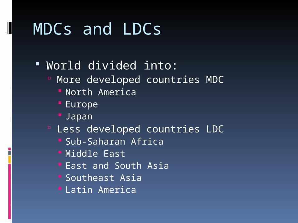
MDCs and LDCs
World divided into: More developed countries MDC
North America Europe Japan
Less developed countries LDC Sub-Saharan Africa Middle East East and South Asia Southeast Asia Latin America

Culture and Environment Cultural Ecology: study of human-
environment relationships Environmental determinism: physical
environment CAUSED social development
Possibilism: physical environment may LIMIT some human actions, but people are able to ADJUST to their environment.
Opposite

Physical Processes: Climate Geographers use physical processes
to understand human distribution Vlad Koppen classifed climates into
5 main regions: A. Tropical Climates B. Dry Climates C. Warm Mid-Latitude Climates D. Cold Mid-Latitude Climates E. Polar Climates
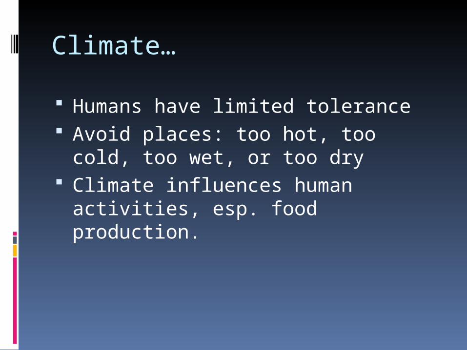
Climate…
Humans have limited tolerance Avoid places: too hot, too cold, too
wet, or too dry Climate influences human activities,
esp. food production.

Physical Processes: Vegetation
Biomes Forest-Trees form continuous canopy;
grass/shrubs on floor. Covers large % of Earth’s surface
Savanna-Trees not continuous, lack of shade/grass. Africa, South America, Southeast Asia
Grassland-grass; few trees; low rain. American prairies
Desert-dispersed patches of plants; vegetation suitable for small numbers of animals.

Physical Processes: Soil
Used mainly in agricultural settings MDC farmers will plant non-cash
crops just to replenish soil nutrients for cash crops
LDC farmers lack knowledge and economic ability to have proper soil management

Physical Processes: Landforms Geomorphology: study of Earth’s
landforms People prefer to live on flatter land,
ease of farming Topographical maps help to show
landforms and some cultural features (roads, farms)
Contour lines help to show steepness and elevation.
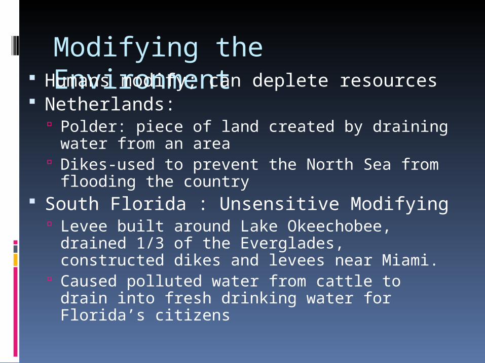
Modifying the Environment Humans modify; can deplete resources
Netherlands: Polder: piece of land created by draining
water from an area Dikes-used to prevent the North Sea from
flooding the country South Florida : Unsensitive Modifying
Levee built around Lake Okeechobee, drained 1/3 of the Everglades, constructed dikes and levees near Miami.
Caused polluted water from cattle to drain into fresh drinking water for Florida’s citizens

Key Issue 3: Different Places are Similar
Geography can help explain human actions on the local and global scale.
“Where is the population growing rapidly?”
“Why can population growth exceed available food supply?”

Globalization
Force or process that involves the entire world and results in making something worldwide in scope
Scale of world is shrinking. Transnational Corporations: conducts
research, operates facilities, and sells products in many countries, not just @ HQ

Culture and Globalization Globalization can and does threaten
local culture’s beliefs and customs. The more people are aware of global
culture the more they want; yet many beliefs still stand strong.
Determination to retain beliefs can lead to intolerance of those that embrace the new.

Space: Distribution
Spatial thinking is the most fundamental skill to understand the arrangement of objects across surfaces.
Geographers think of arrangement of people and objects found in space and work to understand why they are distributed across the space in the manner they are.
Immanuel Kant: Geography’s concern for space to history’s concern for time.

Distribution
Arrangement of features in space 3 properties:
Density Concentration pattern

Density Frequency with which something occurs
in space Arithmetic density
Total # of objects in an area Large population does not = high density
Physiological density # of persons per unit of area suitable for
agriculture Agricultural density
# of farmers per unit area of farmland

Concentration
Extent of a feature’s spread over space Objects in area are close together =
clustered Objects far apart = dispersed To compare: 2 areas must have same #
of objects and same size area Not the same as density. Use to describe changes in distribution.

Pattern
Geometric arrangement of objects in space
Some features in geometric pattern, some irregular
Frequently arranged in a square or rectangle, or in a linear distribution
Homes on a street, a cities street pattern

Connections
Space-time compression: reduction of time it takes for something to reach another place
Distance places less remote and more accessible in modern times.
S/T compression promotes rapid change

Spatial Interaction
Places connected to each other through networks have spatial interaction
Distance Decay: farther away one group is from another the less likely the 2 groups are to interact. Contact diminishes and eventually
disappears
Diffusion
Process by which a characteristic spreads across space from one place to another over time.
Hearth: place where innovation originates
For a person, object, or idea to have interaction with other persons, objects, or ideas in other regions diffusion must occur

Relocation Diffusion
Spread of an idea through PHYSICAL movement of people from one place to another
People take their culture with them when they move: language, religion, ethnicity

Expansion Diffusion Spread of a feature from one place to
another in a snowball effect Hierarchical diffusion
Spread of an idea from person of authority to other persons/places. Political leaders, elites, large cities
Contagious diffusion Rapid, widespread of a characteristic through
population. Disregard of hierarchy or w/out perm. Location of people.
Stimulus diffusion Spread of an underlying principle, even though
characteristic doesn’t diffuse. Encouraged by new tech.

Diffusion of Culture and Economy Global culture and economy allows rapid
diffusion of goods, services, etc. Centered on 3 hearths: North America,
Western Europe, and Japan Command centers: New York, London,
Tokyo Uneven development: increasing gap in
economic conditions between regions in the core and periphery that results from the globalization of the economy.