Embed Size (px)
Citation preview
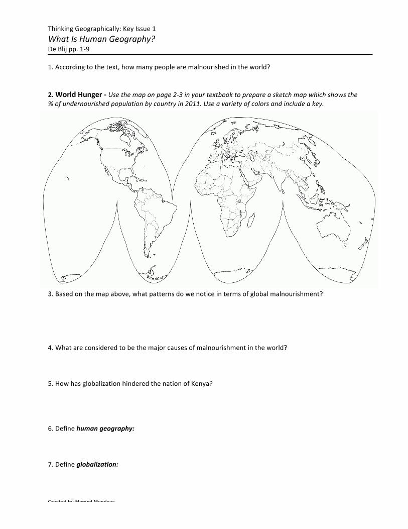
Created by Manuel Mendoza
ThinkingGeographically:KeyIssue1WhatIsHumanGeography?DeBlijpp.1-91.Accordingtothetext,howmanypeoplearemalnourishedintheworld?
2.WorldHunger-Usethemaponpage2-3inyourtextbooktoprepareasketchmapwhichshowsthe%ofundernourishedpopulationbycountryin2011.Useavarietyofcolorsandincludeakey.
Definehumangeography:2.Defineglobalization:3.Basedonthemapabove,whatpatternsdowenoticeintermsofglobalmalnourishment?4.Whatareconsideredtobethemajorcausesofmalnourishmentintheworld?5.HowhasglobalizationhinderedthenationofKenya?6.Definehumangeography:7.Defineglobalization:
Created by Manuel Mendoza
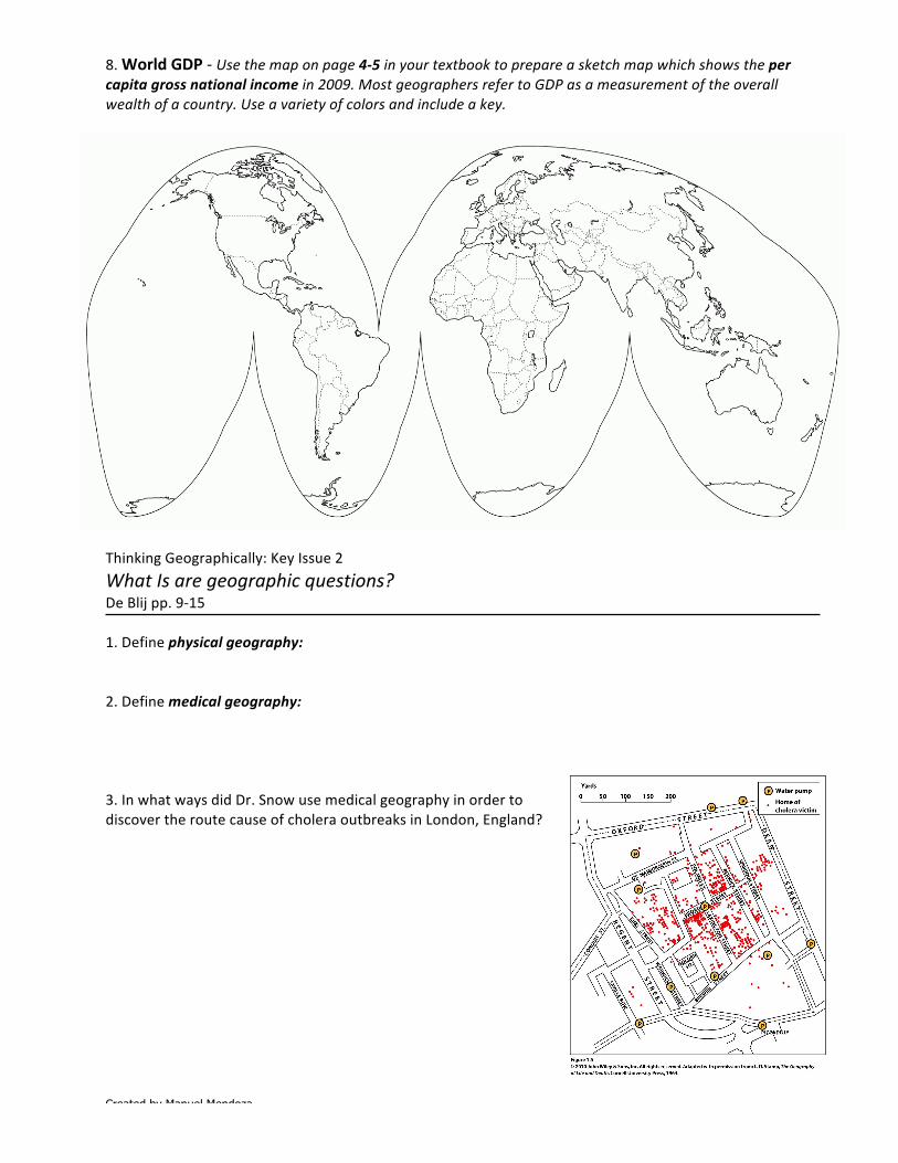
8.WorldGDP-Usethemaponpage4-5inyourtextbooktoprepareasketchmapwhichshowsthepercapitagrossnationalincomein2009.MostgeographersrefertoGDPasameasurementoftheoverallwealthofacountry.Useavarietyofcolorsandincludeakey.
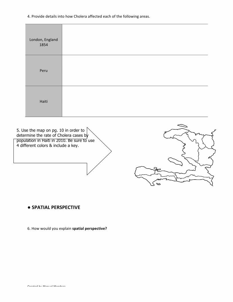
ThinkingGeographically:KeyIssue2WhatIsaregeographicquestions?DeBlijpp.9-151.Definephysicalgeography:2.Definemedicalgeography:3.InwhatwaysdidDr.SnowusemedicalgeographyinordertodiscovertheroutecauseofcholeraoutbreaksinLondon,England?
Created by Manuel Mendoza
5. Use the map on pg. 10 in order to determine the rate of Cholera cases by population in Haiti in 2010. Be sure to use 4 different colors & include a key.
4.ProvidedetailsintohowCholeraaffectedeachofthefollowingareas.
London,England
1854
Peru
Haiti
●SPATIALPERSPECTIVE6.Howwouldyouexplainspatialperspective?
Created by Manuel Mendoza
7.Asyoureadpgs.11-13,completethetablebelowwiththe5ThemesofGeography,includespecificexamplesorapplicationsofeach. DEFINITION EXAMPLES/APPLICATIONS
LOCATION
HUMANENVIRONMENTINTERACTIONS
REGION
PLACE
MOVEMENT
NOTE!!!AHELPFULACRONYMTHATTHE5THEMESOFGEOGRAPHYCREATEISMR.LIPM=MOVEMENTR=REGIONL=LOCATIONI=INTERACTIONP=PLACE

Created by Manuel Mendoza
●CULTURALLANDSCAPE8.Geographersusetheterm_______________________torefertothe_________________________
ofaplace,thecomplex____________________________,humanstructures,andothertangibleobjects
thatgiveaplaceparticular_______________.
9.TheCulturalLandscapecanbeseenasthe______________________________________________
onthelandscape.
10.Completethefollowingregardingasequentoccupance.
SequentOccupanceElements/components/explanation… Modern-dayexample
ThinkingGeographically:KeyIssue3Whydogeographersusemaps,andwhatdomapstellus?DeBlij,pp.15-22
1.Definecartography:
2.Accordingtothetext,listsomeofthepracticalusesmapsareusedfor:
(a) (b) (c) (d) (e)
Created by Manuel Mendoza
3.Determinetheprimarydifferencebetweenareferencemap&athematicmap.Doyourbesttoprovideanexampleofeach.
REFERENCEMAP THEMATICMAP
4.Inyourownwords,howwouldyoudescribethedifferencebetweenAbsolute&Relativelocations?Provideanexampletosupportyourclaims.5.CompletethefollowingregardingaGlobalPositioningSystem(GPS)&GeographicInformationSystems(GIS)
GPSElements/components… Uses/implementation…
GISElements/components… Uses/implementation…
Created by Manuel Mendoza
6a.Defineremotesensing:6b.Listseveralthingsthatgeographerscanmapusingremotelysenseddata.ThinkingGeographically:KeyIssue4Whyaregeographersconcernedwithscaleandconnectedness?DeBlij,pp.23-32
1.Completethechartbelowwhichdetailstypesofregionsidentifiedbygeographers. FORMALREGION FUNCTIONALREGION PERCEPTUALREGION
Defin
ition
Exam
ple(s)
Created by Manuel Mendoza
2.PerceptualRegionsoftheUSA-Usethemaponpage27inyourtextbooktoprepareasketchmapwhichshowsthevariousperceptualregionsoftheUSA.Useavarietyofcolors(notetheremaybesomeoverlappingofcolors)andincludeakey.IgnoreHawaii&Alaska.●CULTURAL3.Defineculture:4.Defineculturaltrait:4b.Giveanexample:5.Defineculturecomplex:5b.Giveanexample6.Defineculturalhearth:
Created by Manuel Mendoza
6b.Giveanexample7.Describethephenomenonknownasdistance-decay.8.Diffusionisdefinedastheprocessbywhichacharacteristicspreadsacrossspace.Withregardtodiffusion,defineand,wherepossible,giveanexampleofeachofthefollowing.
TYPESOFDIFFUSION
hearth
relocationdiffusion
Expansiondiffusion
hierarchicaldiffusion
contagiousdiffusion
stimulusdiffusion
Created by Manuel Mendoza
ThinkingGeographically:KeyIssue5Whataregeographicconcepts,andhowtheyareusedinansweringgeographicquestions?DeBlij,pp.32-34
Verycarefullydefinethefollowingterms:
1.CulturalEcology2.EnvironmentalDeterminism2b.Challenges/ArgumentsagainstEnvironmentalDeterminism
3.Possiblism3b.Challenges/ArgumentsagainstPossibilism
Created by Manuel Mendoza
ThinkingGeographically:KeyIssue6MapsDeBlij,pp.AppendixApg.A-1toA-9
1.Accordingtothetextbook,whatare3fundamentalpropertiesofallmaps?
a.b.c.
2.Definescale:3.Whatdoyoufeelistheadvantageofamapwhichshowsonlyasmallportionoftheearth’ssurface–likeaneighborhood-thatis,alarge-scalemap?3b.Whatadvantagedoesamapwhichshowstheentireglobe,asmall-scalemap,have?4.Amapwithascaleof1/10,000or1:10,000maybeazoomedinarea/sectionofacityandisknowntobea____________scalemap(largeorsmall).5.Amapwithascaleof1/10,000,000or1:10,000,000maybeanoverheadviewofanentireUSState/orcountryandisknowntobea____________scalemap(largeorsmall).●MAPPROJECTIONS6.Whengeographersconverttheroundearthtoaflatmap,theyuseaprojection.Allprojectionshavesomedistortion(onlyaglobehasnone).Listthefourthingsthattypicallybecomedistortedinvariousprojections.a. Shapeofanarea c. Relativesizemaybealtered
b. Distancebetween2points d. Directionfromoneplacetoanother
Created by Manuel Mendoza
7.Linesoflatitudeareknownas_______________________,whilelinesoflongitudeareknownas_______________________________.8.TwoimportantprojectionsaretheMercatorandtheRobinson.Completethetablebelowtocomparetheiradvantagesanddisadvantages. ROBINSON MERCATOR
Advantages
Disadv
antages
●SYMBOLSONMAPS9.Accordingtothetextbook,whataresomecommonexamplesofsymbolsusedonmapsoratlases?10._________________________________areusedtoshowindividualfeaturesorplaces.11.A______________________showsspatialdistribution11b.AccordingtothemapofWashingtonD.C.onA-8,whatpurposedothedotsymbolsserveonthismap.Whatdotheycommunicatetous?12.Linesymbolsonmapsinclude(Listall):13.Whatareisolines?