Embed Size (px)
Citation preview
Cr i s t ina Gonza lez -MadduxITEP
INTRO TO AERMODCRISTINA GONZALEZ-MADDUXITEP, RESEARCH SPECIALIST
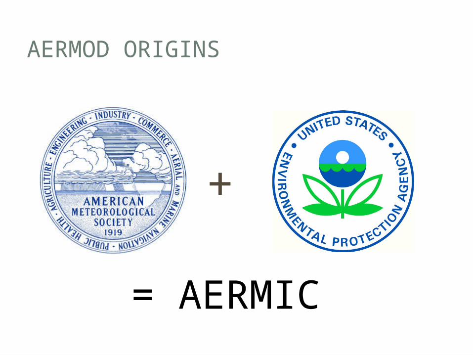
AERMOD ORIGINS
+
= AERMIC
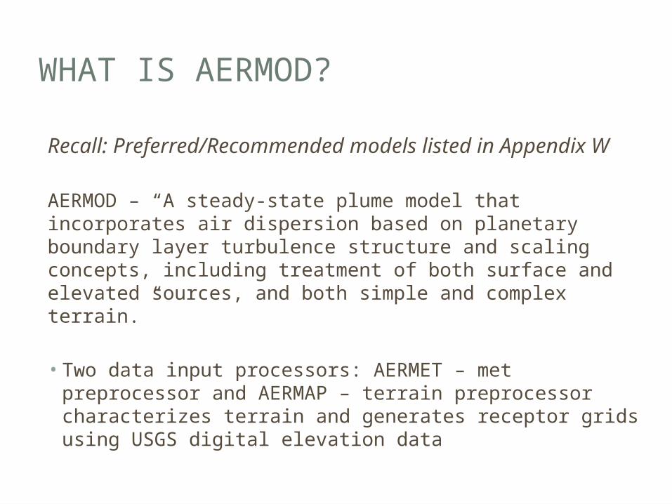
WHAT IS AERMOD?
Recall: Preferred/Recommended models listed in Appendix W
AERMOD – “A steady-state plume model that incorporates air dispersion based on planetary boundary layer turbulence structure and scaling concepts, including treatment of both surface and elevated sources, and both simple and complex terrain.”
• Two data input processors: AERMET – met preprocessor and AERMAP – terrain preprocessor characterizes terrain and generates receptor grids using USGS digital elevation data
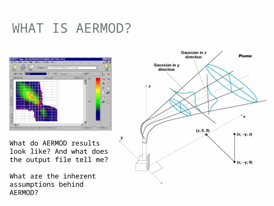
WHAT IS AERMOD?
What do AERMOD results look like? And what does the output file tell me?
What are the inherent assumptions behind AERMOD?

AERMOD ADOPTION
• Previous model: ISCST3 In 2000 EPA proposed replacing with AERMOD• Improvements?• Many!
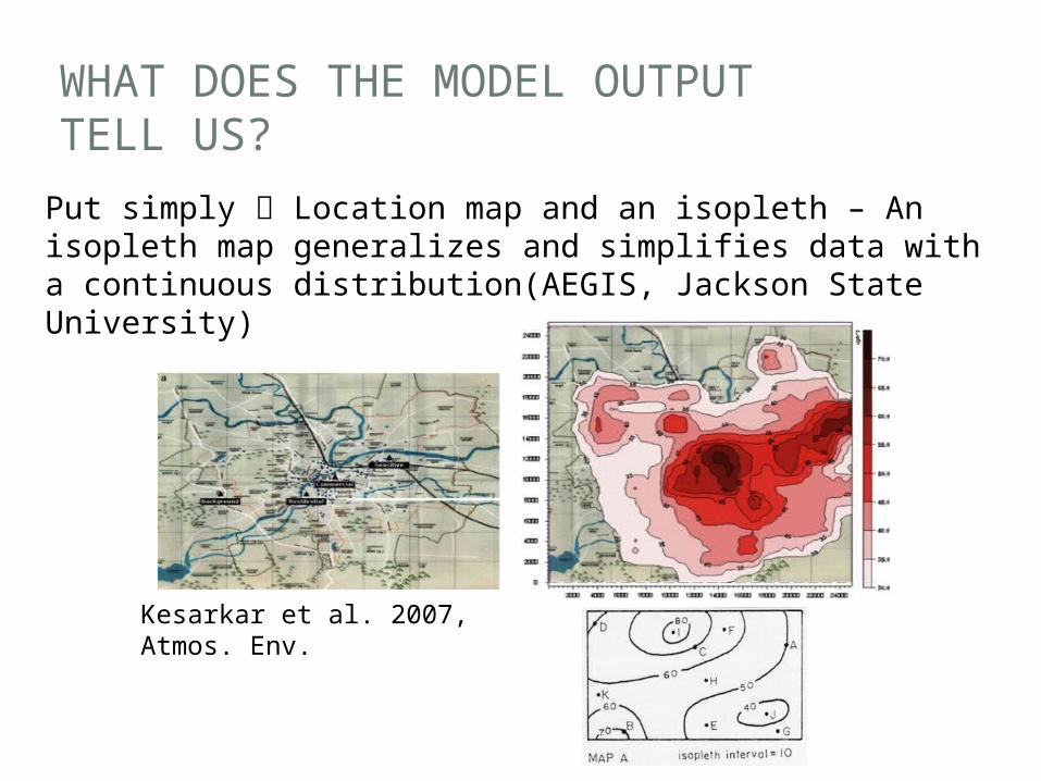
WHAT DOES THE MODEL OUTPUT TELL US?
Put simply Location map and an isopleth – An isopleth map generalizes and simplifies data with a continuous distribution(AEGIS, Jackson State University)
Kesarkar et al. 2007, Atmos. Env.
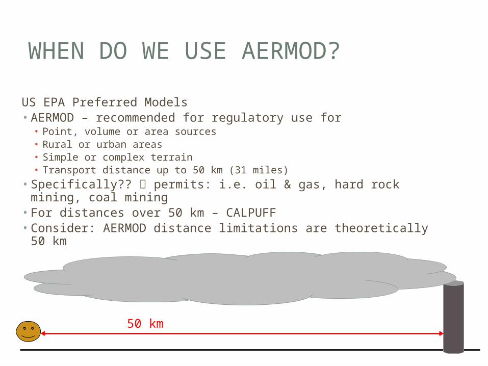
WHEN DO WE USE AERMOD?
US EPA Preferred Models• AERMOD – recommended for regulatory use for• Point, volume or area sources• Rural or urban areas• Simple or complex terrain• Transport distance up to 50 km (31 miles)
• Specifically?? permits: i.e. oil & gas, hard rock mining, coal mining
• For distances over 50 km – CALPUFF• Consider: AERMOD distance limitations are theoretically 50 km
50 km
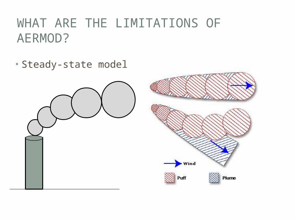
WHAT ARE THE LIMITATIONS OF AERMOD?
• Steady-state model
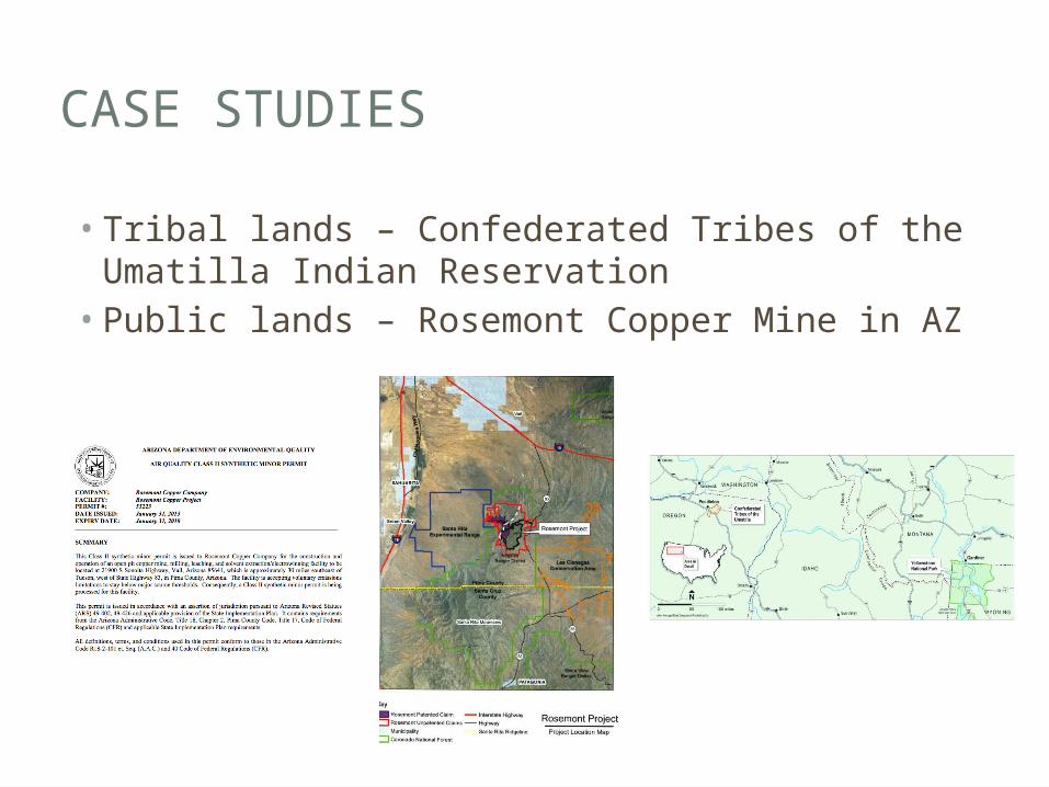
CASE STUDIES
• Tribal lands – Confederated Tribes of the Umatilla Indian Reservation• Public lands – Rosemont Copper Mine in AZ