Embed Size (px)
Citation preview

ClaudeClaude VVUATTOUXUATTOUXCEOCEO 3D GIS – Geo Modeling software
5th International 3D GeoInfo Conference5th International 3D GeoInfo Conference3. -4. November 2010 Berlin 3. -4. November 2010 Berlin
www.rhinoterrain.comwww.rhinoterrain.com
35, chemin Tête du Costet35, chemin Tête du Costet88400 Gérardmer - France88400 Gérardmer - France
RhinoTerrain Geomodeling tools for Rhinoceros
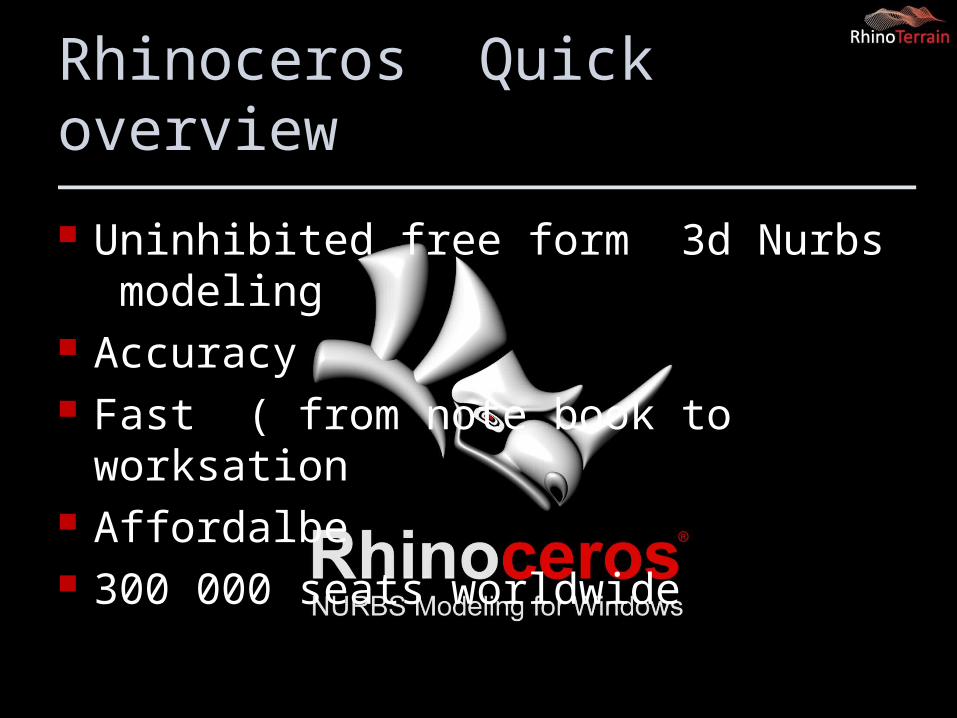
Rhinoceros Quick overview
Uninhibited free form 3d Nurbs modeling Accuracy Fast ( from note book to worksation Affordalbe 300 000 seats worldwide
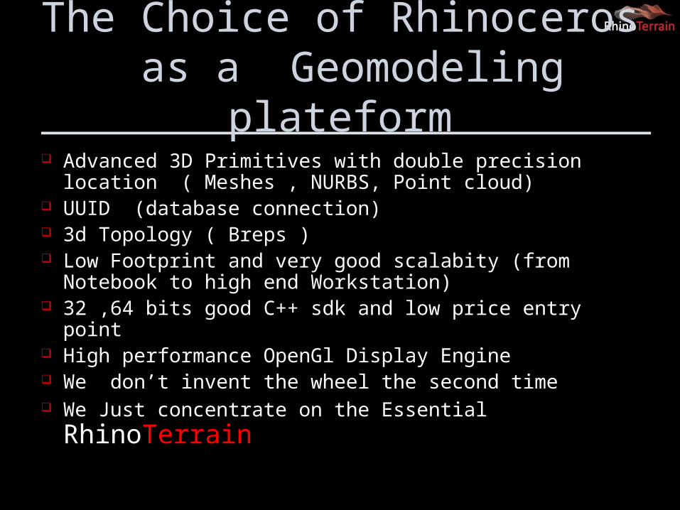
The Choice of Rhinoceros as a Geomodeling plateform
Advanced 3D Primitives with double precision location ( Meshes , NURBS, Point cloud)
UUID (database connection) 3d Topology ( Breps ) Low Footprint and very good scalabity (from Notebook to high
end Workstation) 32 ,64 bits good C++ sdk and low price entry point High performance OpenGl Display Engine We don’t invent the wheel the second time We Just concentrate on the Essential RhinoTerrain
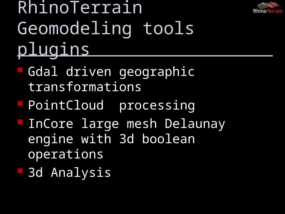
RhinoTerrain Geomodeling tools plugins
Gdal driven geographic transformations PointCloud processing InCore large mesh Delaunay engine with 3d
boolean operations 3d Analysis
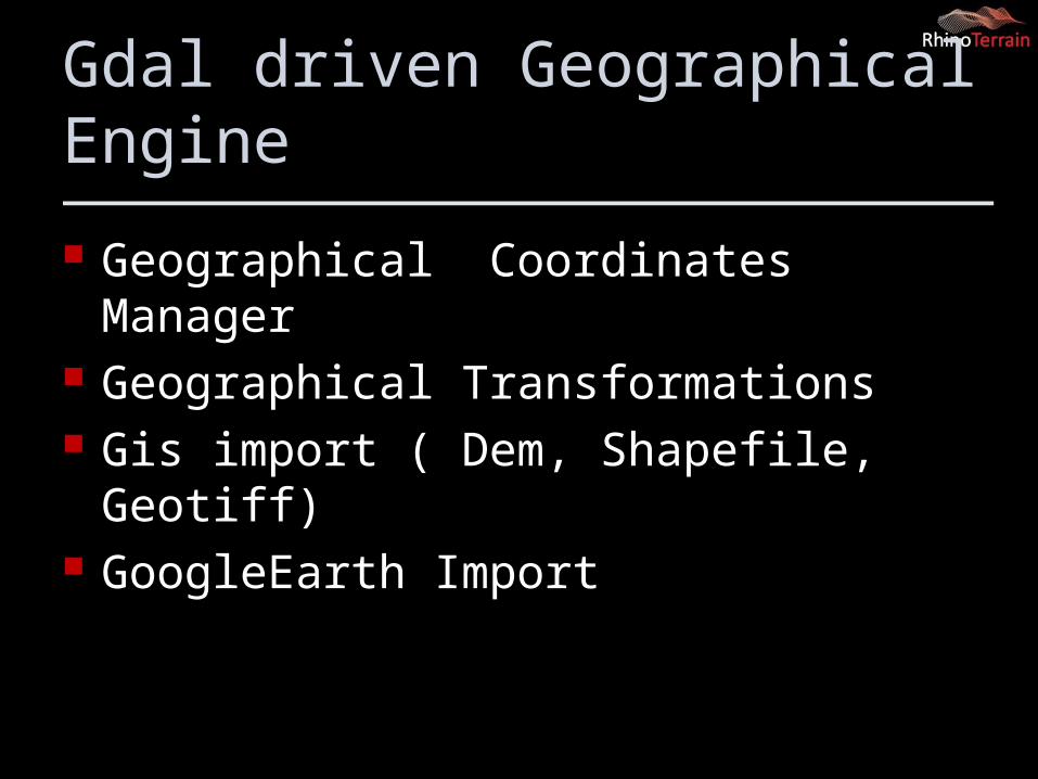
Gdal driven Geographical Engine
Geographical Coordinates Manager Geographical Transformations Gis import ( Dem, Shapefile, Geotiff) GoogleEarth Import
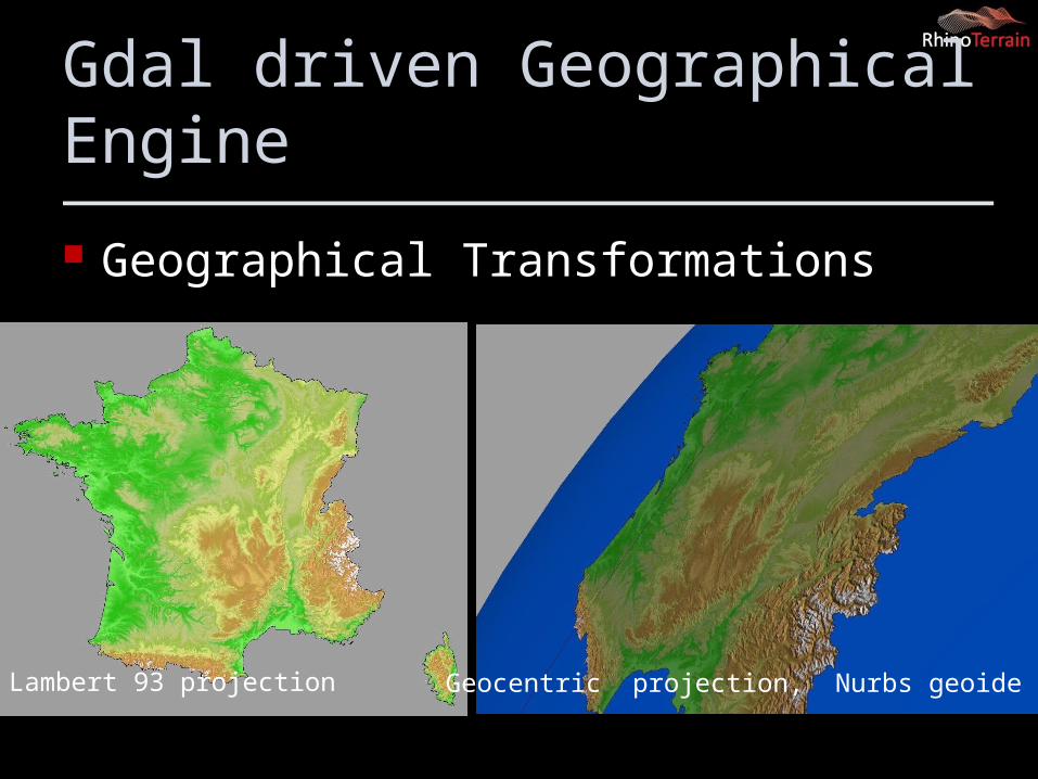
Gdal driven Geographical Engine
Geographical Transformations
Lambert 93 projection Geocentric projection, Nurbs geoide
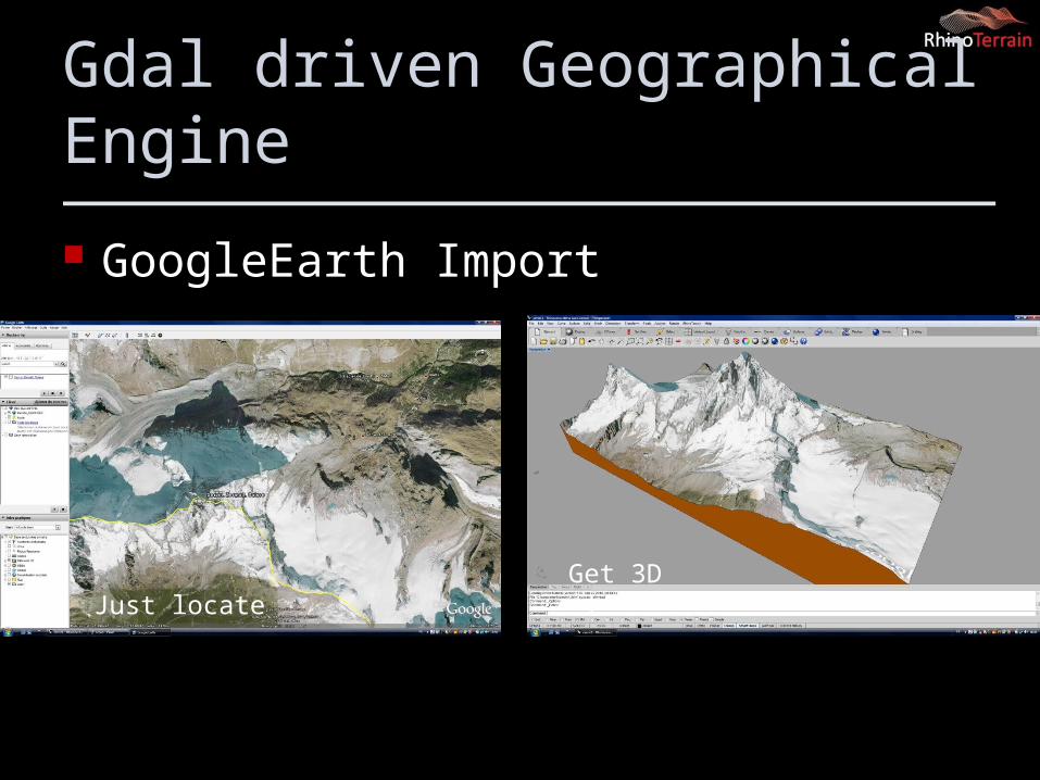
Gdal driven Geographical Engine
GoogleEarth Import
Just locate Get 3D !
Point Clouds Processing (Use Native Rhino Point Cloud Entity (x,x,z ,Normals , RGB)
AirBorne Laser Lidar Terrestrial scanner ( Topcon,Leica) Normals Processing Sections Tool
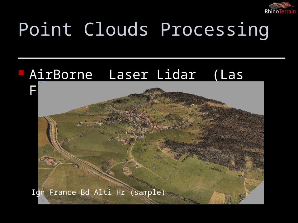
Point Clouds Processing
AirBorne Laser Lidar (Las Files)
Ign France Bd Alti Hr (sample)
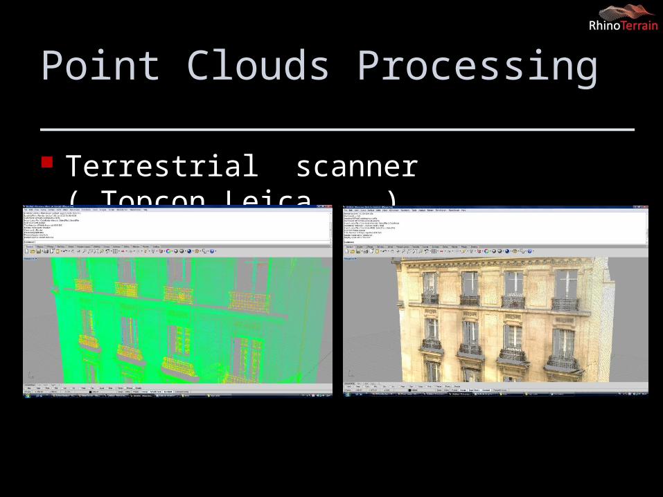
Point Clouds Processing
Terrestrial scanner ( Topcon,Leica, ….)
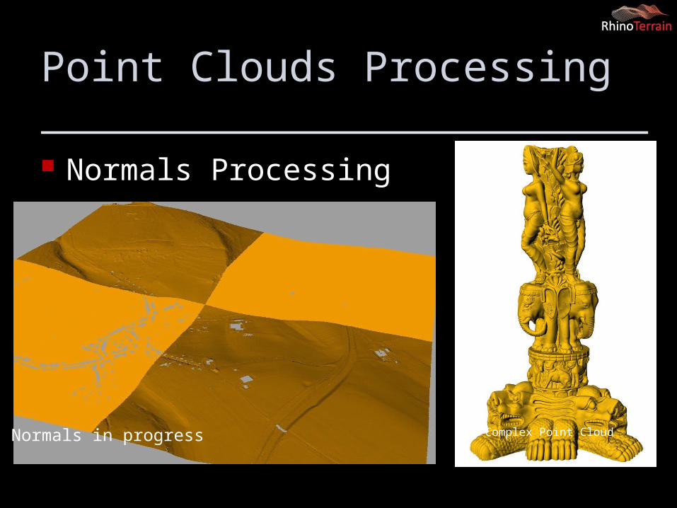
Point Clouds Processing
Normals Processing
Normals in progress Complex Point Cloud
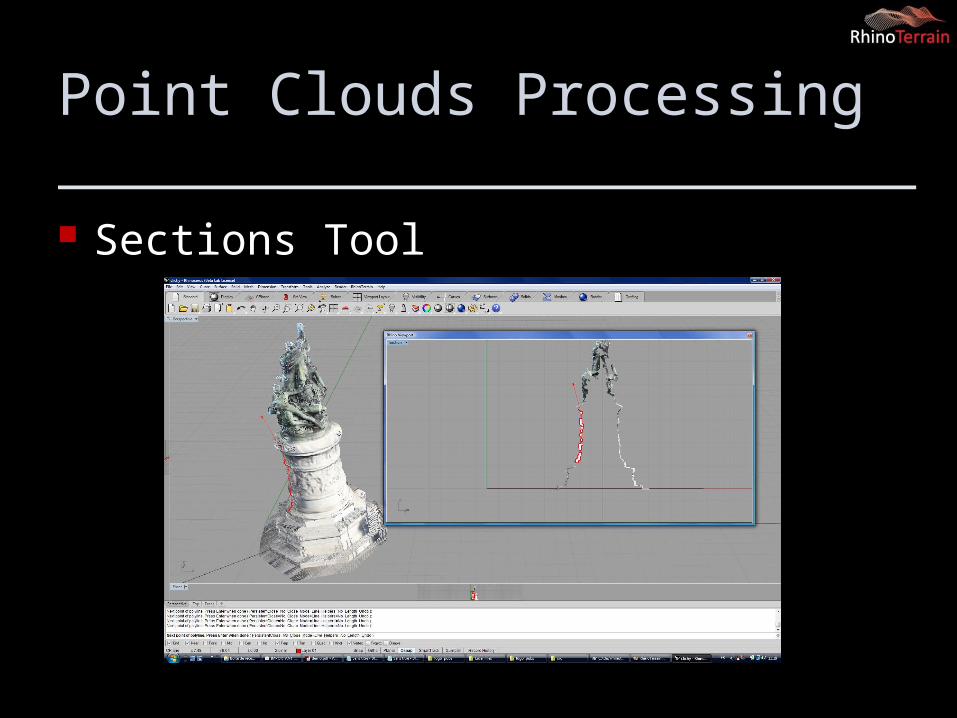
Point Clouds Processing
Sections Tool
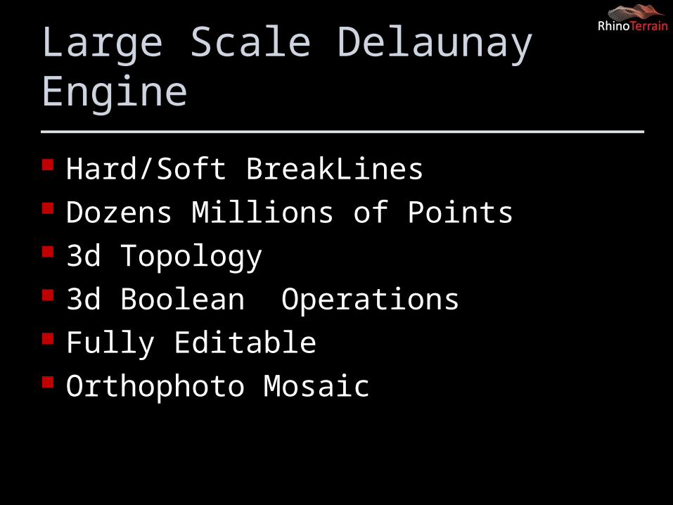
Large Scale Delaunay Engine
Hard/Soft BreakLines Dozens Millions of Points 3d Topology 3d Boolean Operations Fully Editable Orthophoto Mosaic
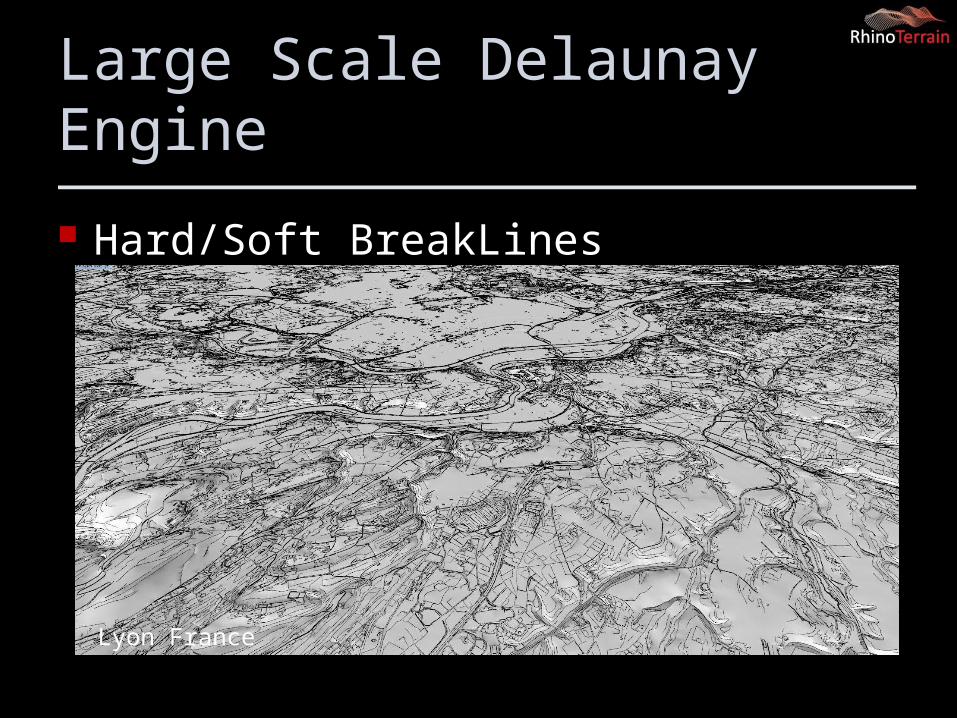
Large Scale Delaunay Engine
Hard/Soft BreakLines
Lyon France
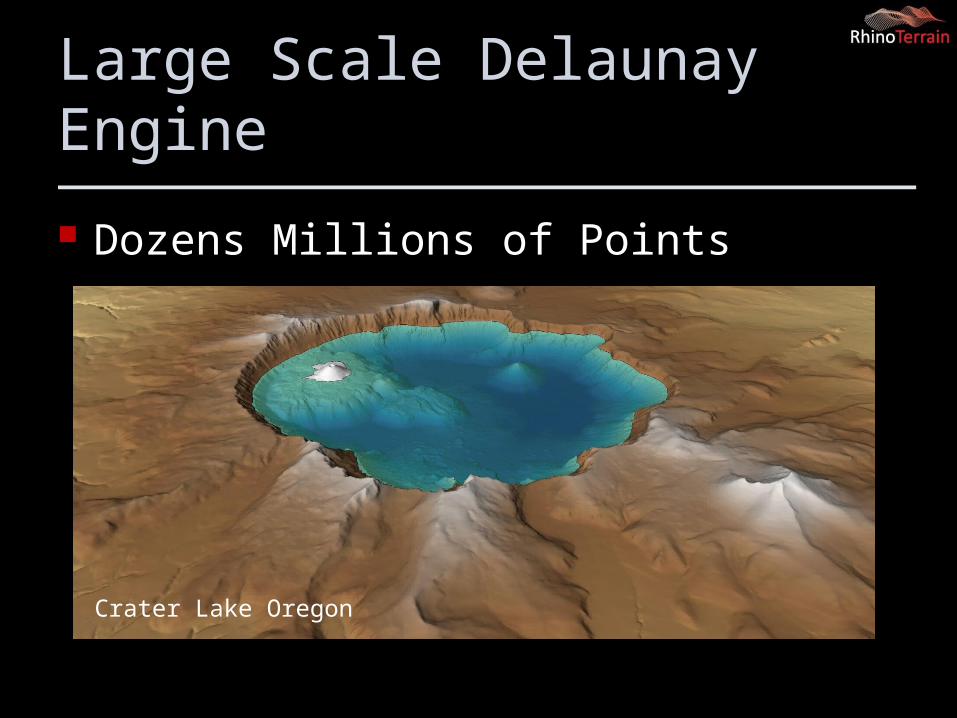
Large Scale Delaunay Engine
Dozens Millions of Points
Crater Lake Oregon
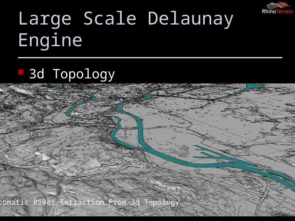
Large Scale Delaunay Engine
3d Topology
Automatic River Extraction From 3d Topology
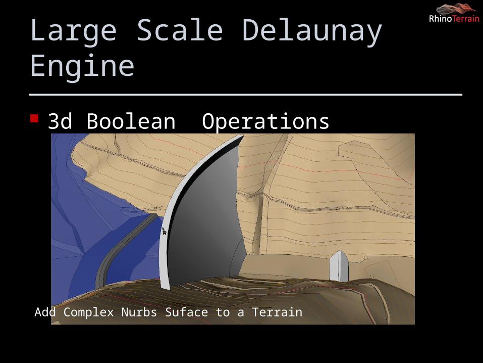
Large Scale Delaunay Engine
3d Boolean Operations
Add Complex Nurbs Suface to a Terrain
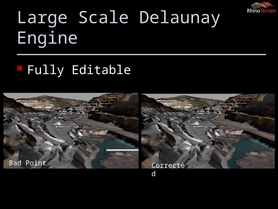
Large Scale Delaunay Engine
Fully Editable
Bad Point Corrected
3d Analysis
Viewshed analysis Slope , height… Analysis Volume computation ( cut and fill)
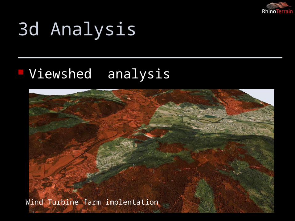
3d Analysis
Viewshed analysis
Wind Turbine farm implentation
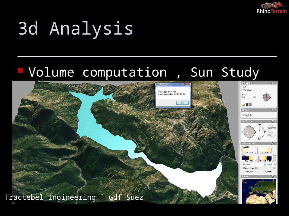
3d Analysis
Volume computation , Sun Study
Tractebel Ingineering Gdf Suez
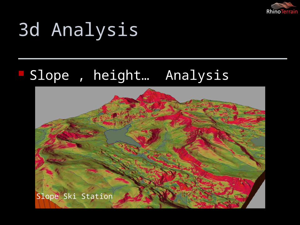
3d Analysis
Slope , height… Analysis
Slope Ski Station
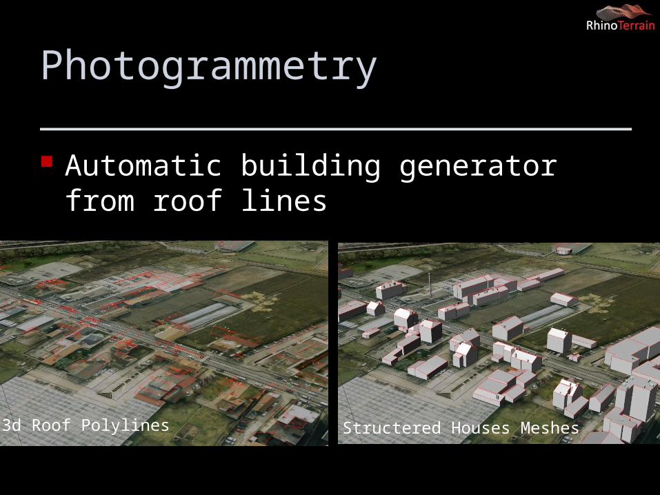
Photogrammetry
Automatic building generator from roof lines
3d Roof Polylines Structered Houses Meshes
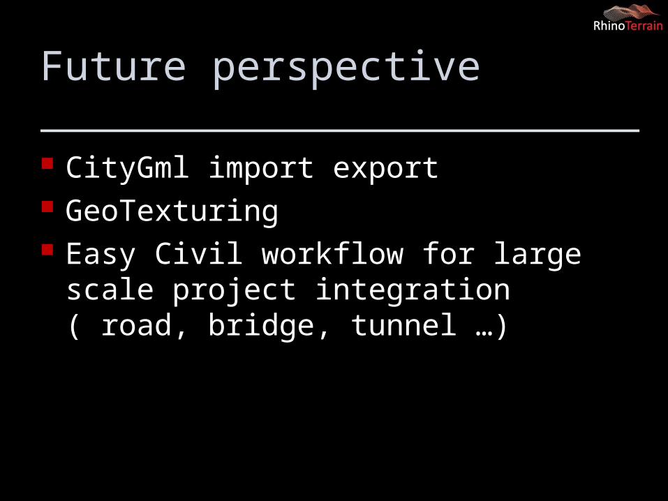
Future perspective
CityGml import export GeoTexturing Easy Civil workflow for large scale project
integration ( road, bridge, tunnel …)
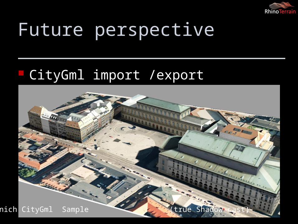
Future perspective
CityGml import /export
Munich CityGml Sample (true Shadow cast)
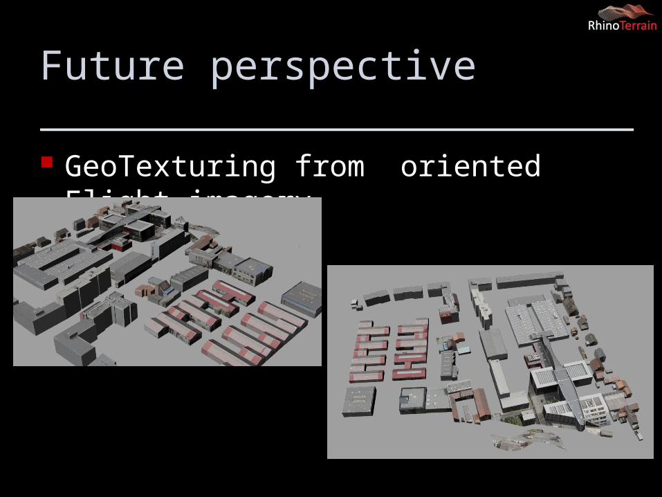
Future perspective
GeoTexturing from oriented Flight imagery
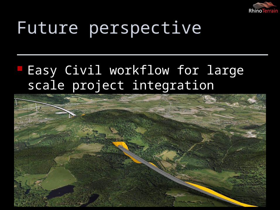
Future perspective
Easy Civil workflow for large scale project integration ( road, bridge, tunnel …)
Quick live demo