Embed Size (px)
Citation preview

Chapter 1“Land of
Contrasts”
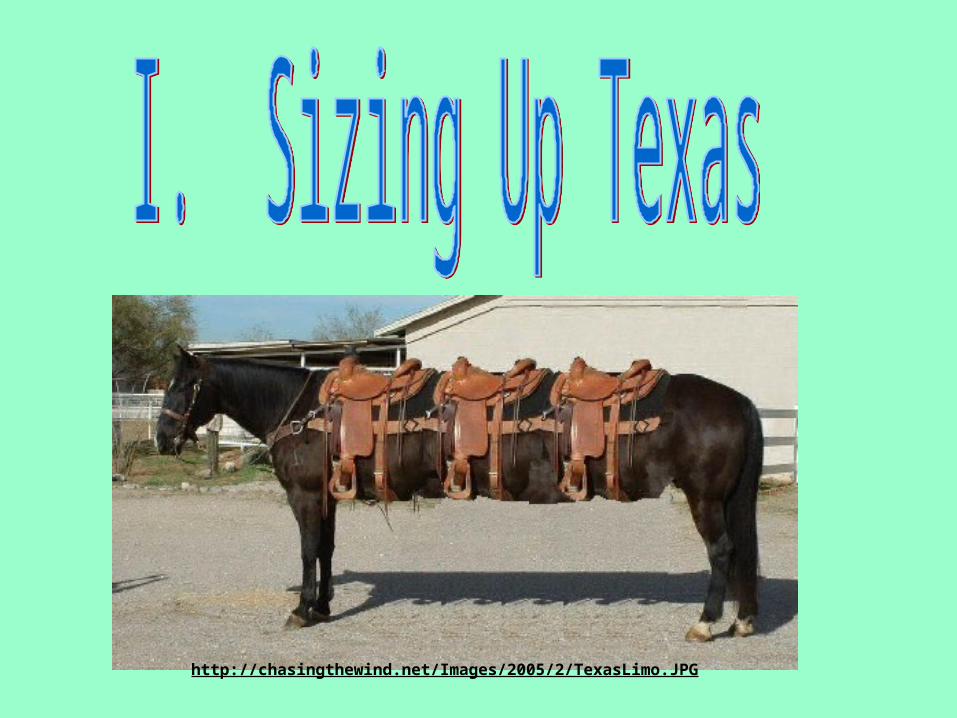
http://chasingthewind.net/Images/2005/2/TexasLimo.JPG
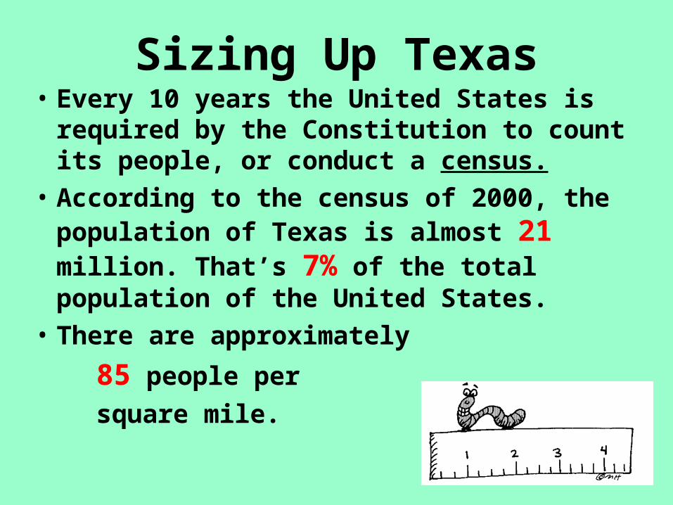
Sizing Up Texas• Every 10 years the United States is
required by the Constitution to count its people, or conduct a census.
• According to the census of 2000, the population of Texas is almost 21 million. That’s 7% of the total population of the United States.
• There are approximately
85 people per
square mile.

Why is it important to know how many people reside in the state
and where they reside?
• Members of the House of Representatives are chosen based on the number of people in the state. To ensure that people are equally represented, officials must know how many people are in the state and where they reside.
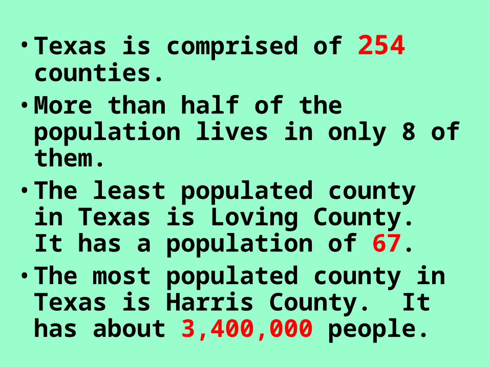
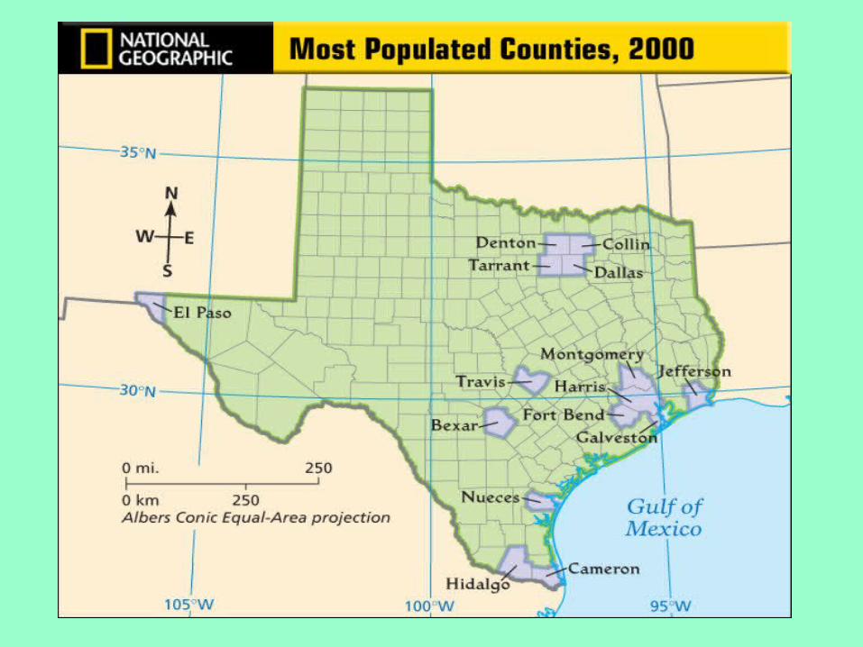
• Texas is comprised of 254 counties.
• More than half of the population lives in only 8 of them.
• The least populated county in Texas is Loving County. It has a population of 67.
• The most populated county in Texas is Harris County. It has about 3,400,000 people.

LovingPop. 67
HarrisPop.3,400,000
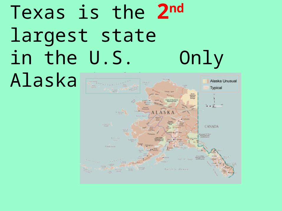
Texas is the 2nd largest statein the U.S. Only Alaska is bigger.
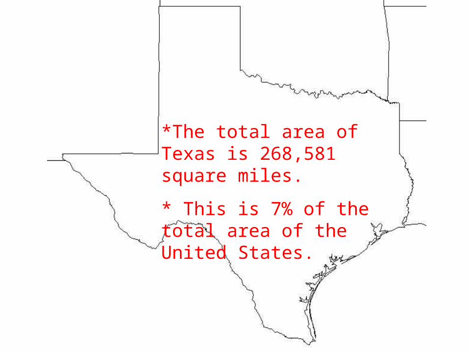
*The total area of Texas is 268,581 square miles.
* This is 7% of the total area of the United States.
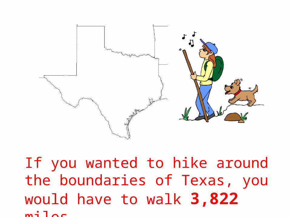
If you wanted to hike around the boundaries of Texas, you would have to walk 3,822 miles.
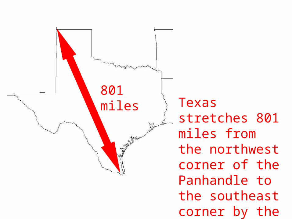
Texas stretches 801 miles from the northwest corner of the Panhandle to the southeast corner by the gulf.
801 miles
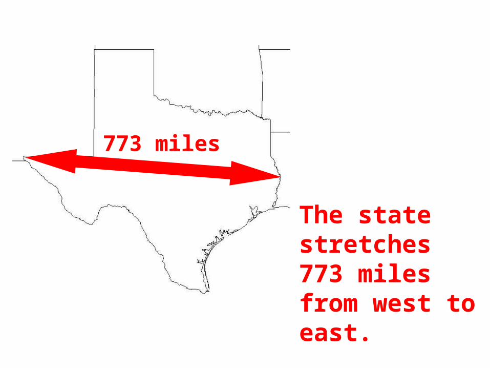
The state stretches 773 miles from west to east.
773 miles

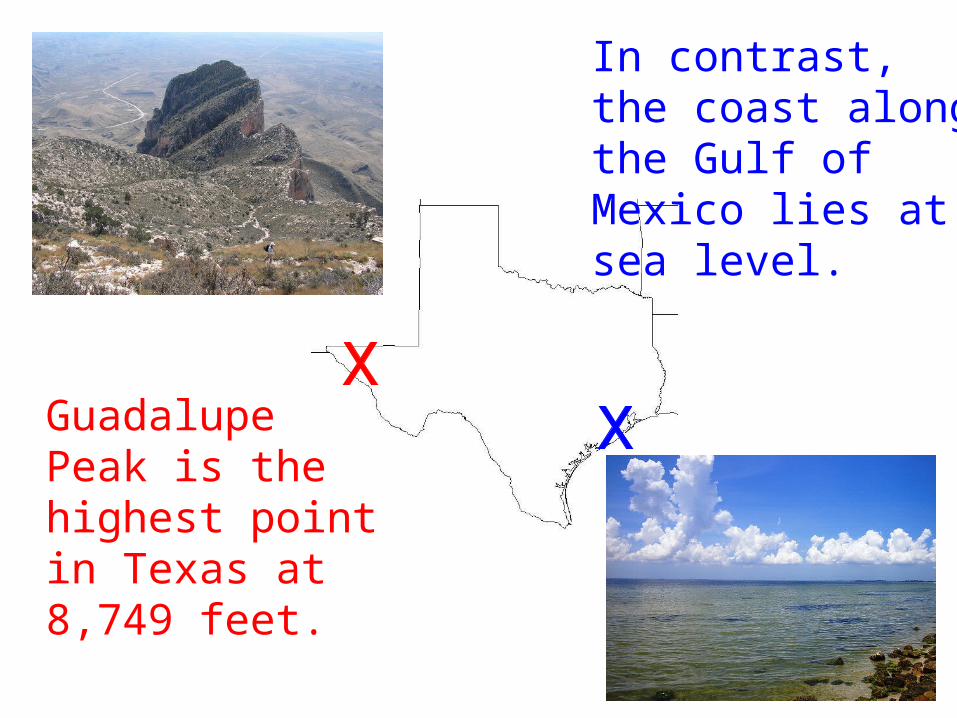
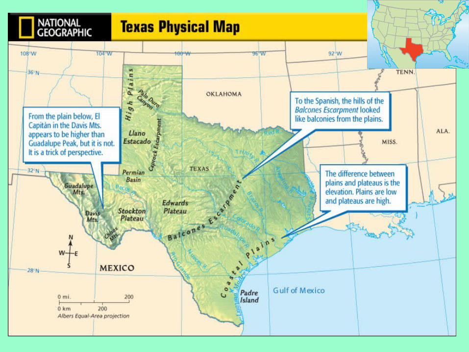
GuadalupePeak is the highest pointin Texas at8,749 feet.
In contrast,the coast alongthe Gulf of Mexico lies atsea level.

El Paso averages 8 inches of rain annually.
Orange averages 59 inches each year.
Rain, Rain-
Go away!


The face of Texas changes dramatically as one travels from the southernmost to northernmost point.
(Map in text on page 32)
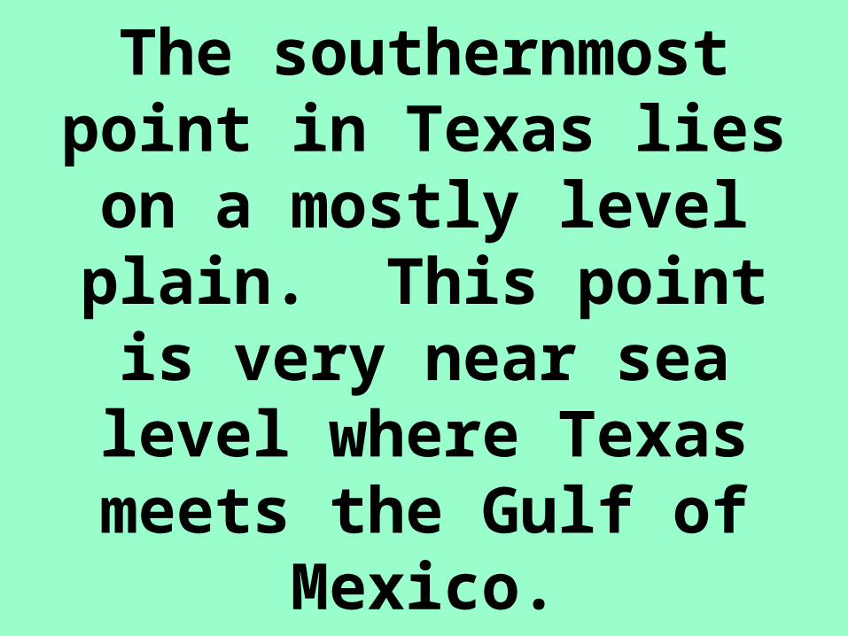
The southernmost point in Texas lies on a
mostly level plain. This point is very near sea
level where Texas meets the Gulf of Mexico.
South Texas
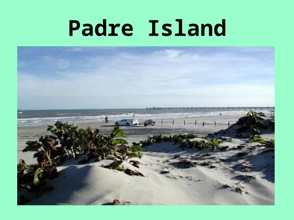
Running along the southern coast a few miles offshore is Padre Island. This long thin
strip of land covered with sand dunes is a barrier island
protecting the mainland shore from ocean waves. The bay
between Padre Island and the mainland is a rich fishing area.
Padre Island
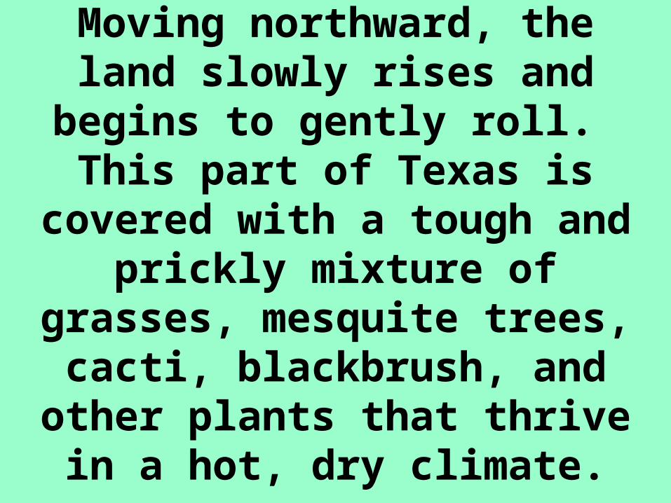
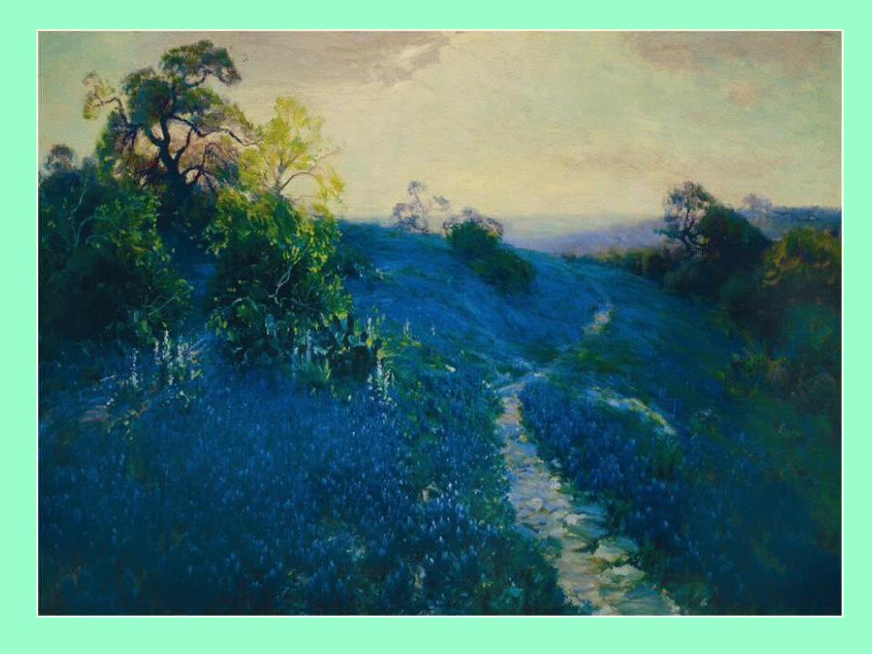
Moving northward, the land slowly rises and begins to
gently roll. This part of Texas is covered with a tough and prickly mixture of grasses,
mesquite trees, cacti, blackbrush, and other plants
that thrive in a hot, dry climate.

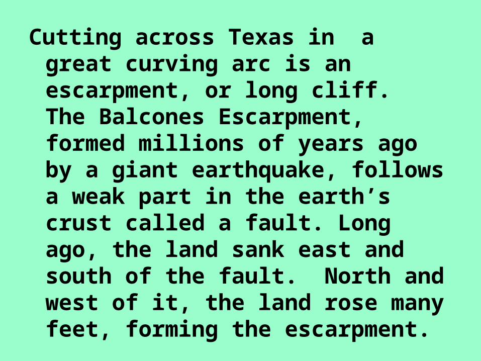
Cutting across Texas in a great curving arc is an escarpment, or long cliff. The Balcones Escarpment, formed millions of years ago by a giant earthquake, follows a weak part in the earth’s crust called a fault. Long ago, the land sank east and south of the fault. North and west of it, the land rose many feet, forming the escarpment.
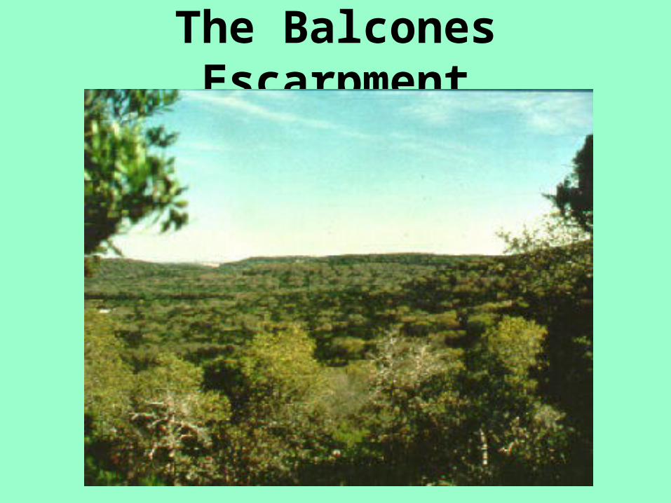
The Balcones Escarpment
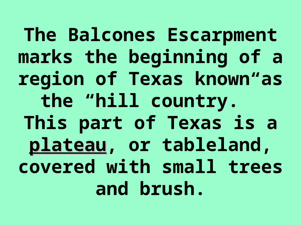
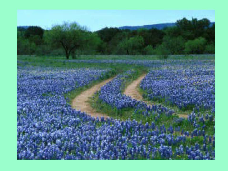
The Balcones Escarpment marks the beginning of a
region of Texas known as the “hill country.” This part of
Texas is a plateauplateau, or tableland, covered with small
trees and brush.
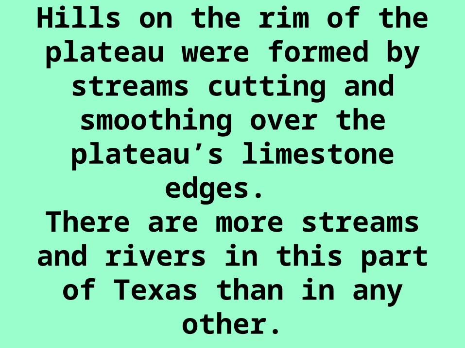
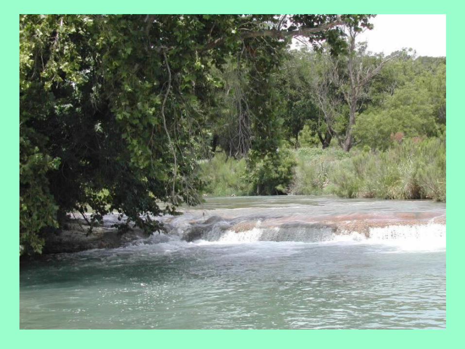
Hills on the rim of the plateau were formed by streams
cutting and smoothing over the plateau’s limestone
edges. There are more streams and rivers in this part of Texas
than in any other.
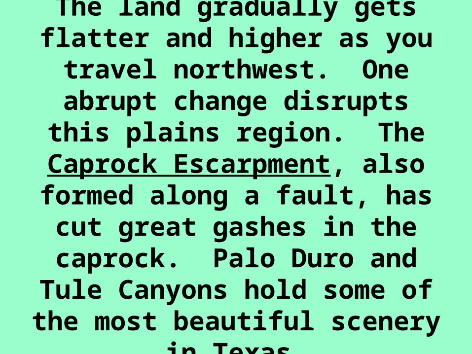
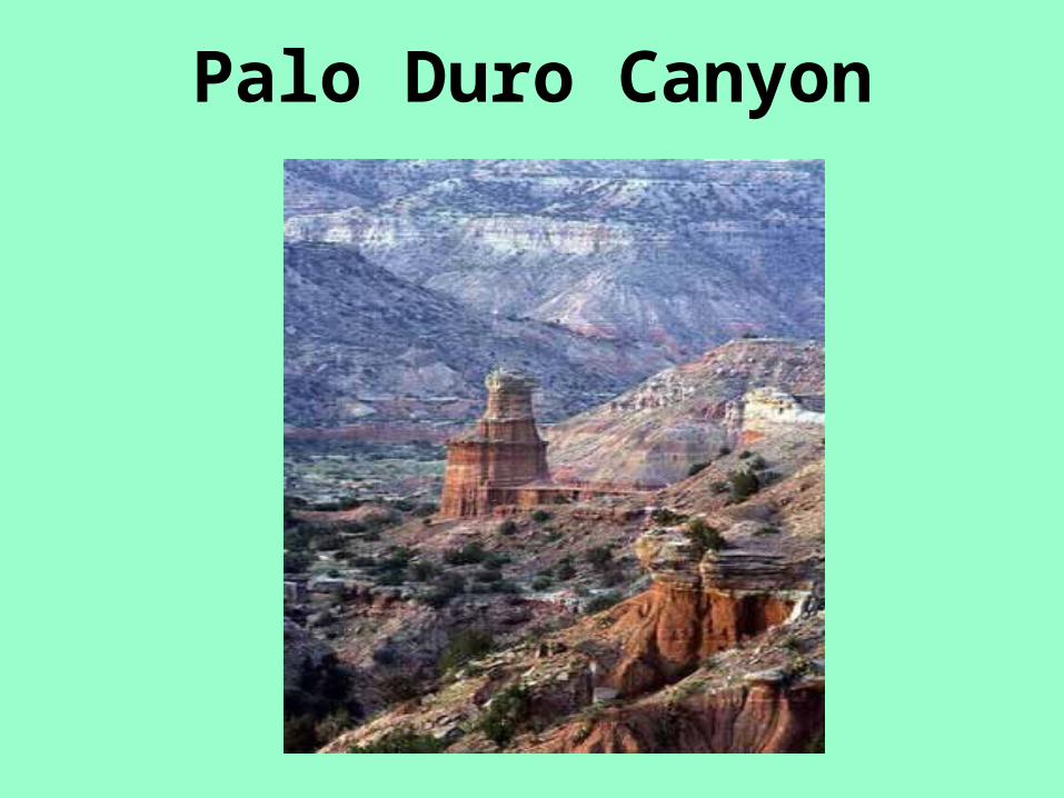
The land gradually gets flatter and higher as you travel
northwest. One abrupt change disrupts this plains region. The
Caprock Escarpment, also formed along a fault, has cut great gashes in the caprock. Palo Duro and Tule Canyons
hold some of the most beautiful scenery in Texas.
A trip starting at the easternmost point in the state would also begin on a plain. Again, the level of the land gently rises as you travel
westward, After crossing the Balcones Escarpment and the hill country, you finally reach
the plains to the west.
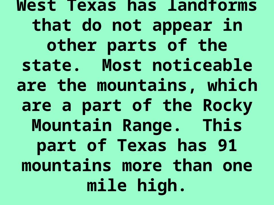
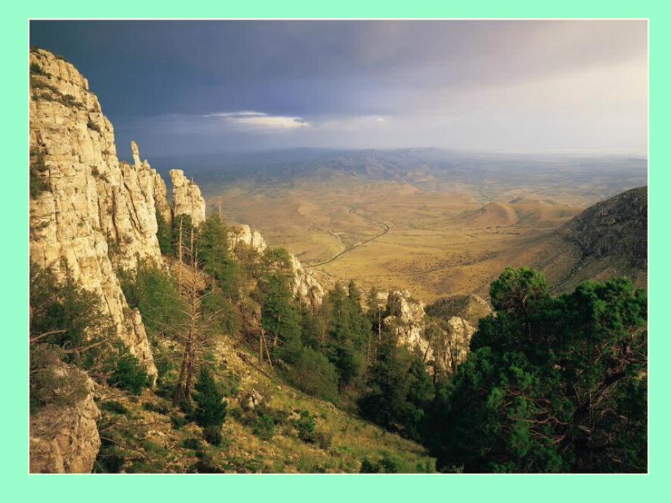
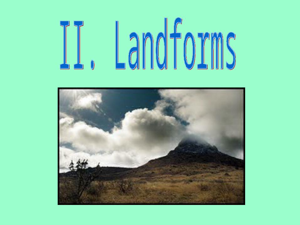
West Texas has landforms that do not appear in other
parts of the state. Most noticeable are the mountains, which are a part of the Rocky Mountain Range. This part of Texas has 91 mountains more
than one mile high.
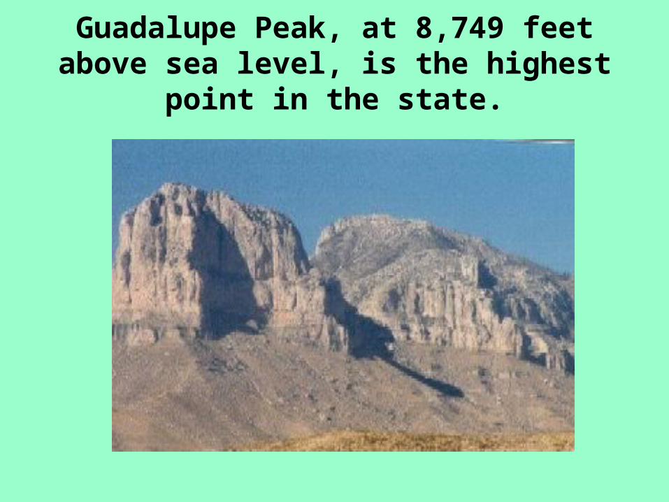
Guadalupe Peak, at 8,749 feet above sea level, is the highest point in the state.
“Wrong Way” Rivers of Texas
• Texas Rivers are sometimes called “wrong way” rivers because they carry water from the dry part of the state, where it is needed, to the eastern part, which normally has plenty of water.
To keep precious water from running unchecked into the Gulf of Mexico,
many rivers in Texas have been dammed,
forming lakes.
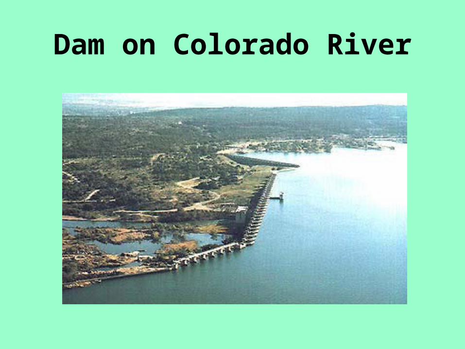
Dam on Colorado River
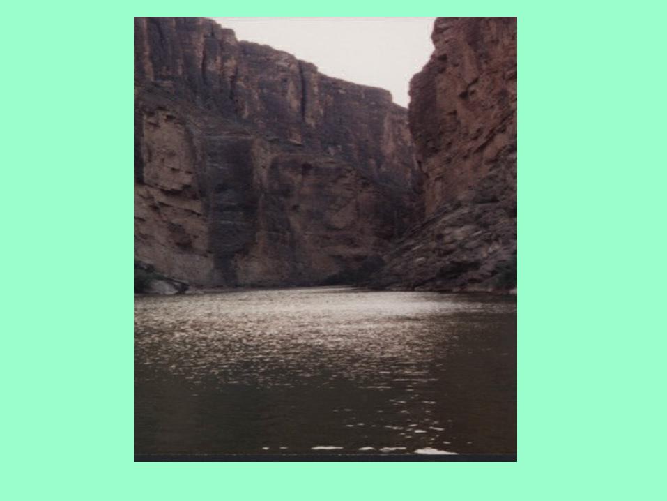
The Rio Grande
The Rio Grande, which forms the southern border of Texas, is one of the longest rivers in the United States – almost 2,000 miles in length.

The Rio Grande was formed between 15 and 30 million
years ago, when forces within the earth caused the crust to drop forming a rift, or gash, more than 5 miles deep in
places. The basins of the rift filled with runoff rain and snow to form inland seas.
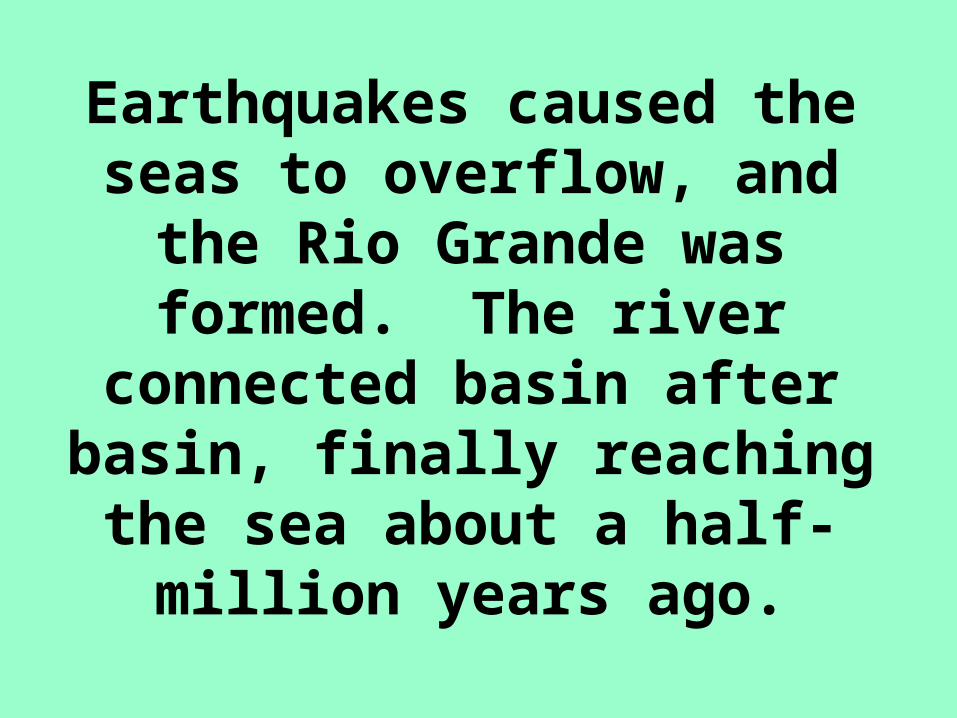
Earthquakes caused the seas to overflow, and the Rio
Grande was formed. The river connected basin after basin,
finally reaching the sea about a half-million years ago.
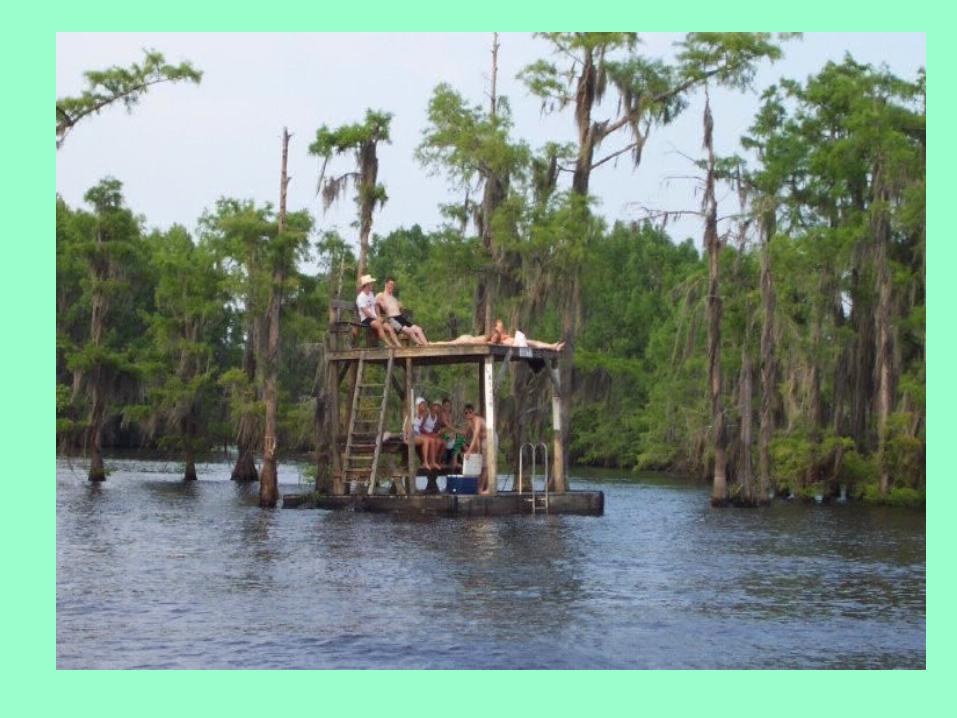
Texas Lakes• Texas has nearly 200 lakes.
• Texas ranks third behind Alaska and Minnesota in the surface area of its inland waters.
• All but one of the lakes were formed when rivers were dammed.
• Only Caddo Lake in East Texas began as a natural lake. Now, even Caddo Lake has been dammed.
Uses for Texas Lakes
• Flood control
• Water conservation
• Irrigation
• Water for cities and towns
• Manufacturing
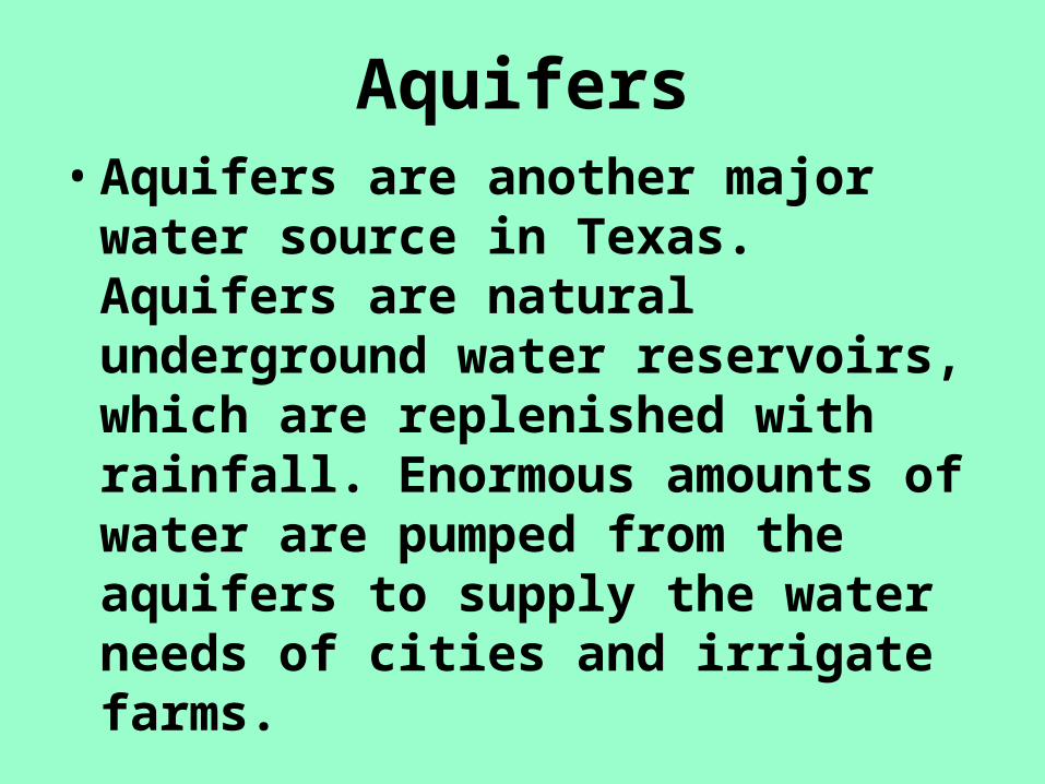
Aquifers• Aquifers are another major water
source in Texas. Aquifers are natural underground water reservoirs, which are replenished with rainfall. Enormous amounts of water are pumped from the aquifers to supply the water needs of cities and irrigate farms.
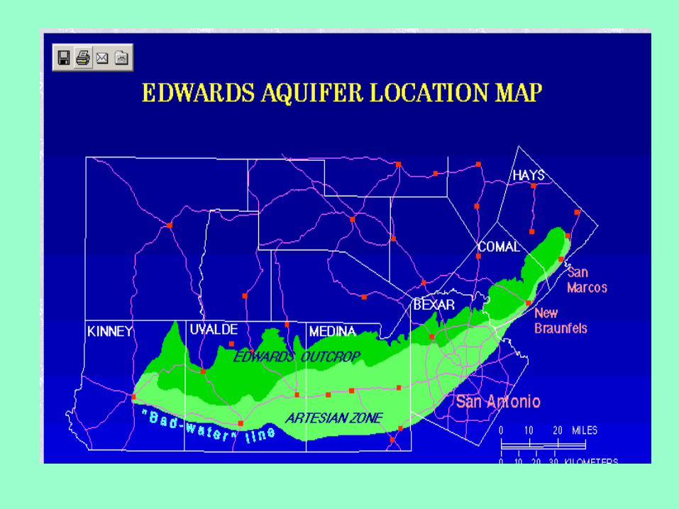
The Edwards Aquifer
• The Edwards Aquifer is found between the cities of Austin to
San Antonio. Large amounts of rainfall refill this aquifer, making it a dependable source of water for years to come.

Barton Springs in Austin
•

Porous Limestone
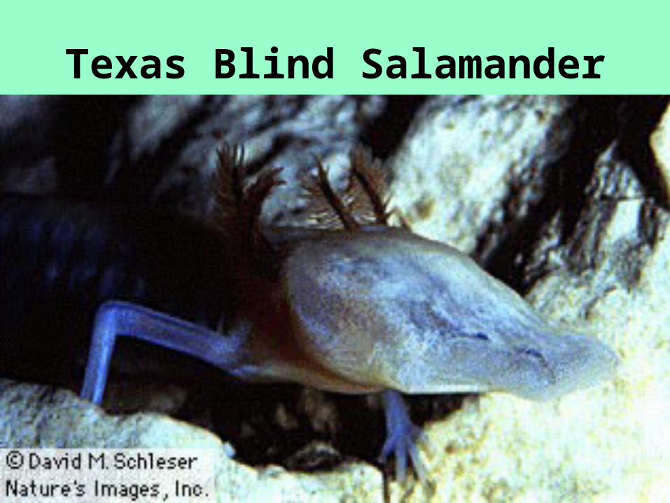
Texas Blind Salamander
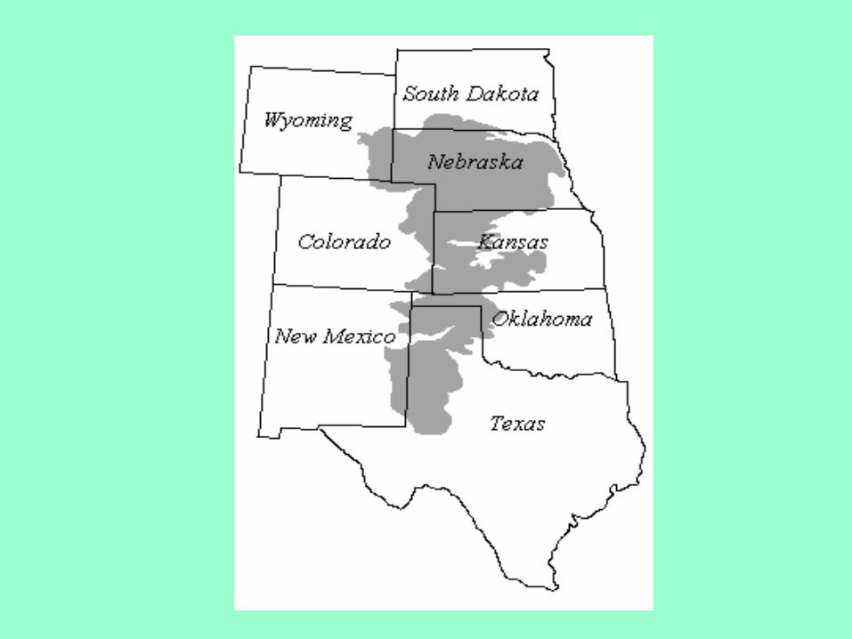
The Ogallala Aquifer
The future of this aquifer remains a major concern. It lies beneath the Texas High Plains, a region of Texas that does not have a dependable supply of rainfall. More than 5 million acres are irrigated by this aquifer, and its levels continue to decline.

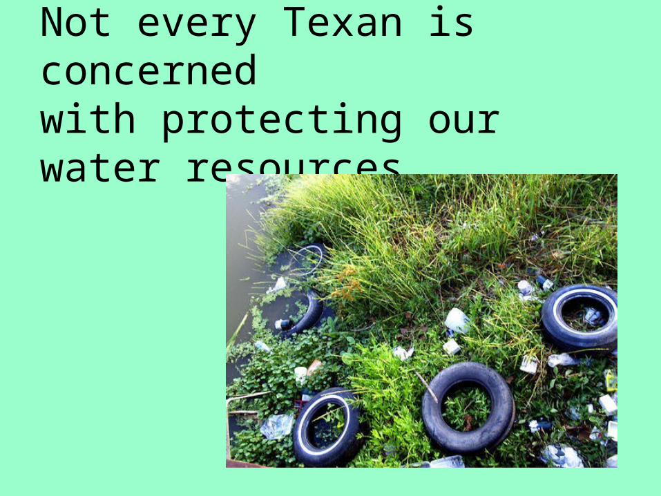
Not every Texan is concernedwith protecting our water resources.
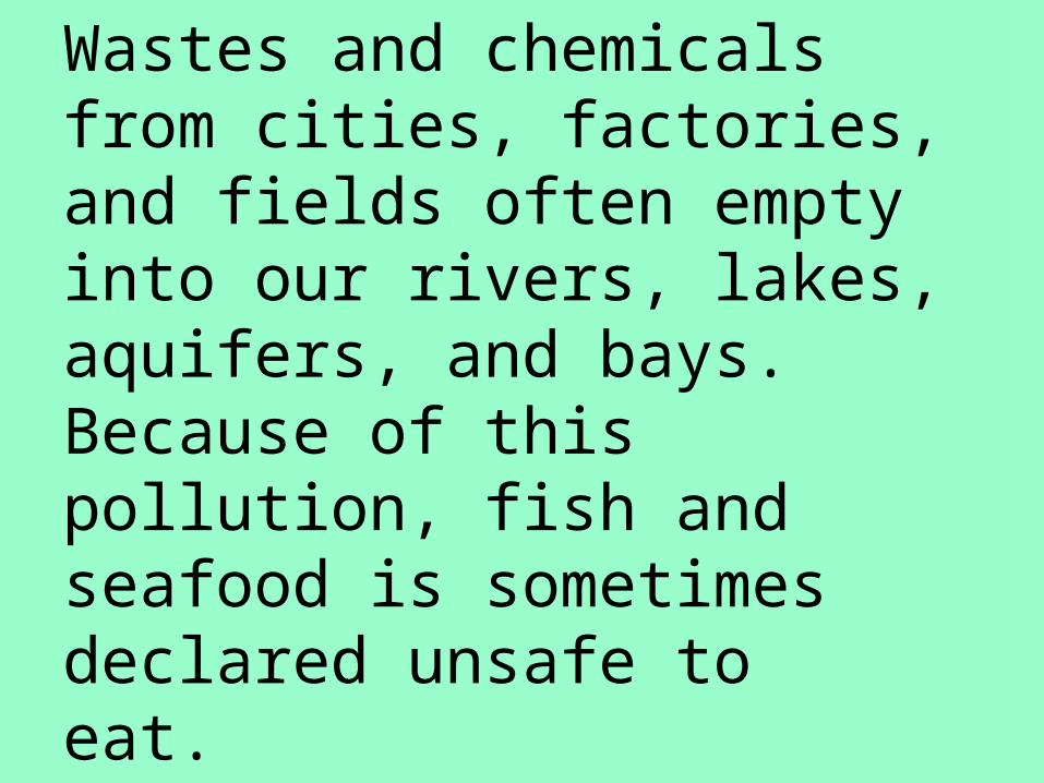
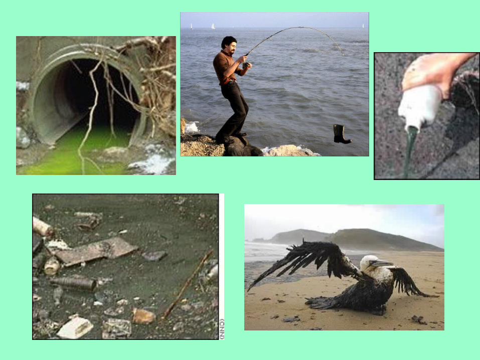
Wastes and chemicals from cities, factories, and fields often empty into our rivers, lakes, aquifers, and bays. Because of this pollution, fish and seafood is sometimes declared unsafe toeat.
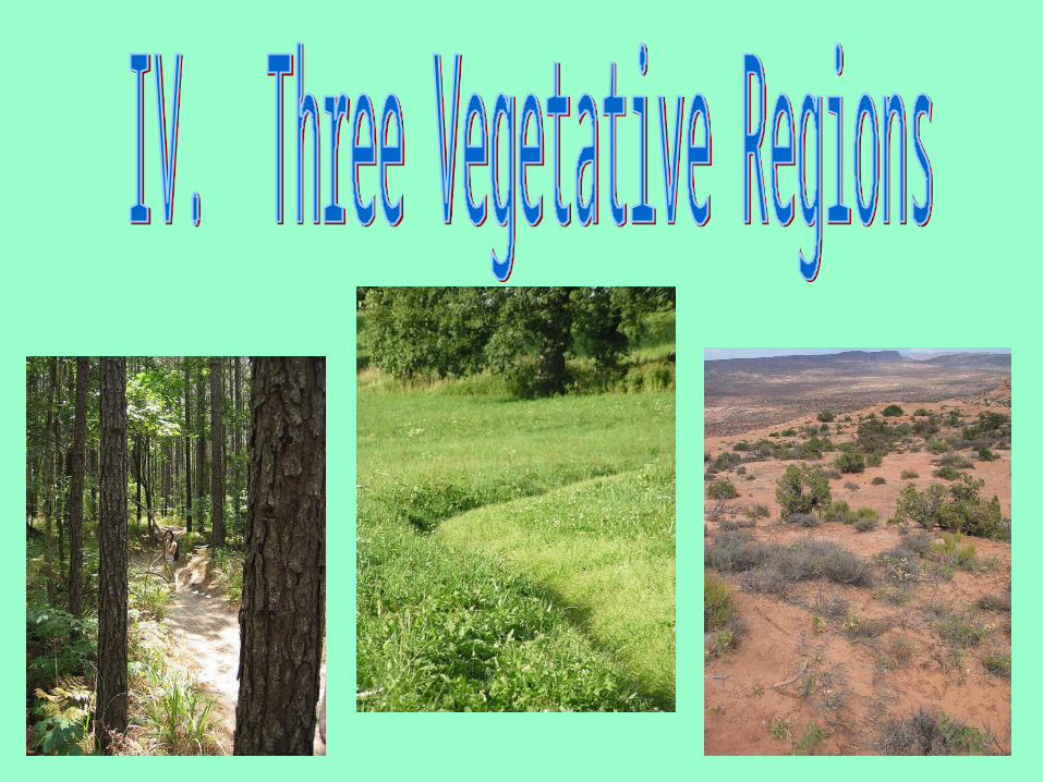
Three Vegetative Regions
In general, Texas has three types of natural vegetative regions:
I. forests (for timber)
II. grasslands (for farming)
III. savannas (for ranching)
Forests• Three major forest regions are found in
Texas, all in the eastern third of the state where rainfall is greatest.
• Timber is one of the top cash crops in Texas, usually outranked only by cotton.
• The lumber, plywood, and paper industries provide many jobs in East Texas.
Grasslands
• Early settlers established farms on the grasslands because they had to clear only a few trees. These areas are still major farming areas.

Grasslands
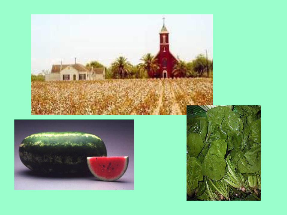
Soil is a valuable resource
• The rich soil of Texas is one of its most valuable resources.
• Major crops include cotton, spinach, watermelons, wheat, rice, corn, soybeans, vegetables, and peanuts.
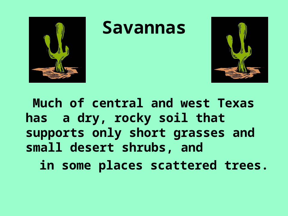
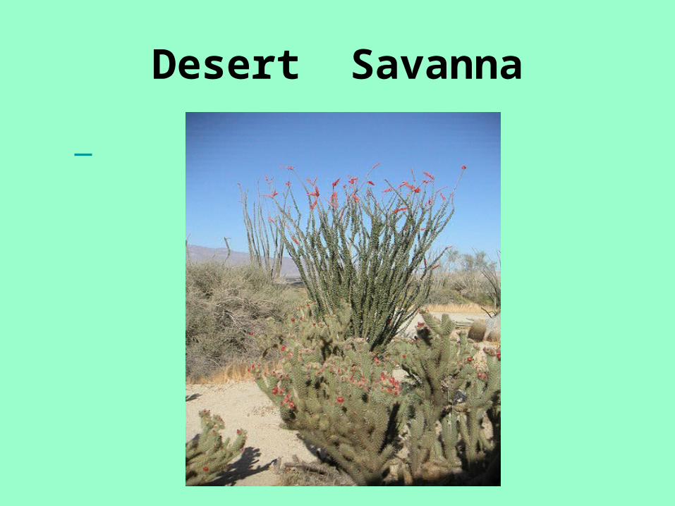
Savannas
Much of central and west Texas has a dry, rocky soil that supports only short grasses and small desert shrubs, and
in some places scattered trees.
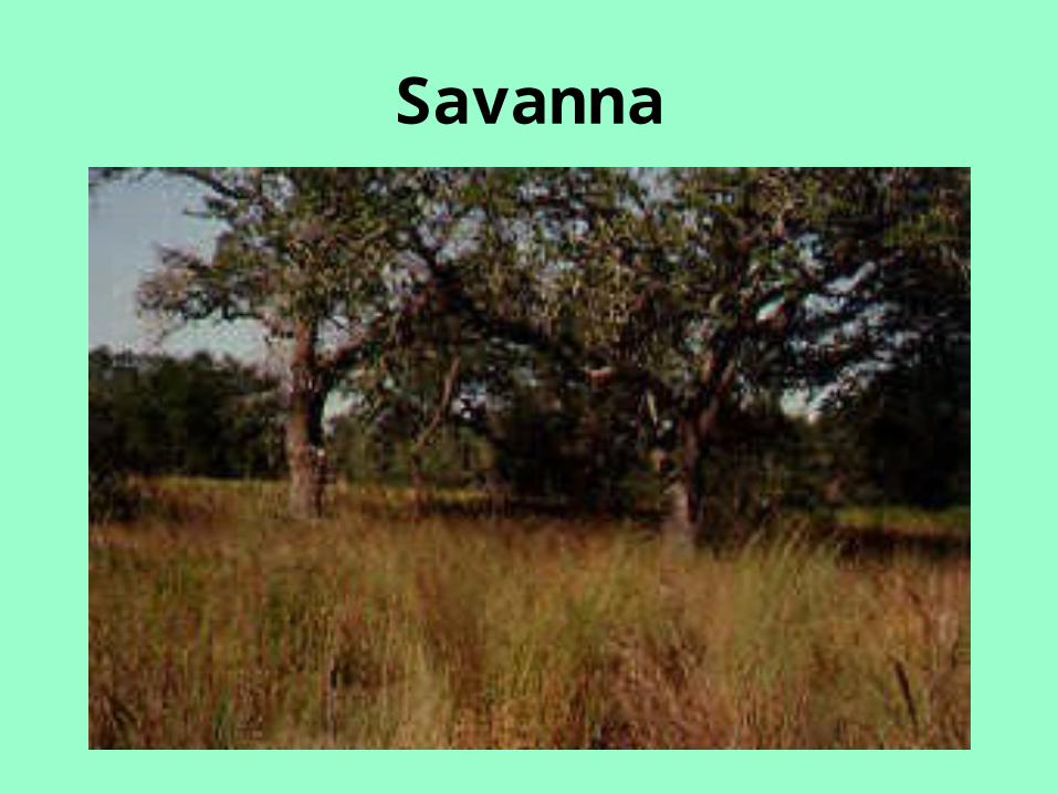
Savanna
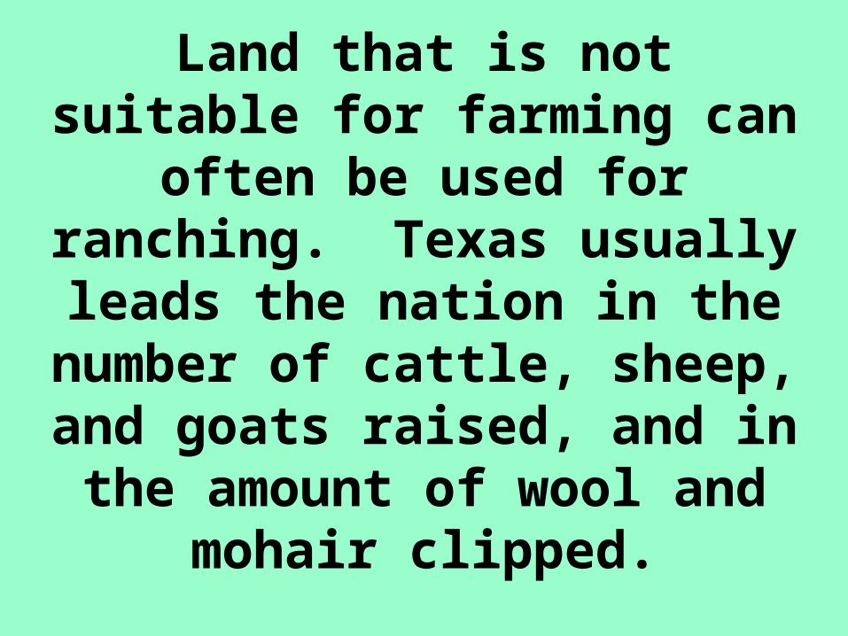
Land that is not suitable for farming can often be used for
ranching. Texas usually leads the nation in the
number of cattle, sheep, and goats raised, and in the
amount of wool and mohair clipped.
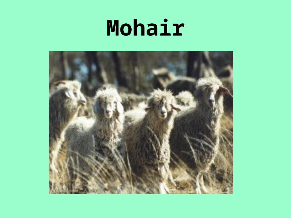
Mohair
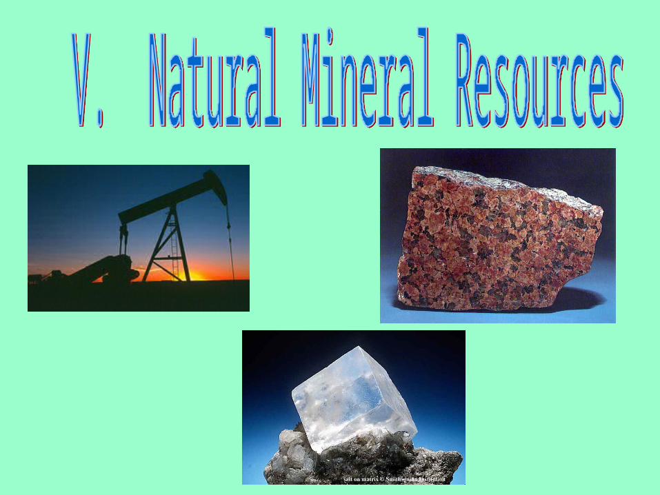
Natural Mineral Resources• Texas is the nation’s most important
producer of minerals.
• It leads the nation in the production of mineral fuels, with petroleum the most valuable and natural gas the second most valuable.
• One-fourth of all the energy produced in the entire history of the United States has been produced in Texas.
Other Texas Minerals • Texas produces about 1/5 of the nation’s salt.
You can find salt mines and domes in many parts of the state.
• Coal is found in north central and west Texas. A low-grade coal, called lignite is found along the coastal plain. Coal is used to fuel boilers, steam-engines, and furnaces.
• Sulfur is used in insecticides and gunpowder.• Gypsum is used to produce drywall for
construction.• Granite and limestone are used for building.• Clay, lead, iron, magnesium, zinc, and
uranium are also mined in Texas.
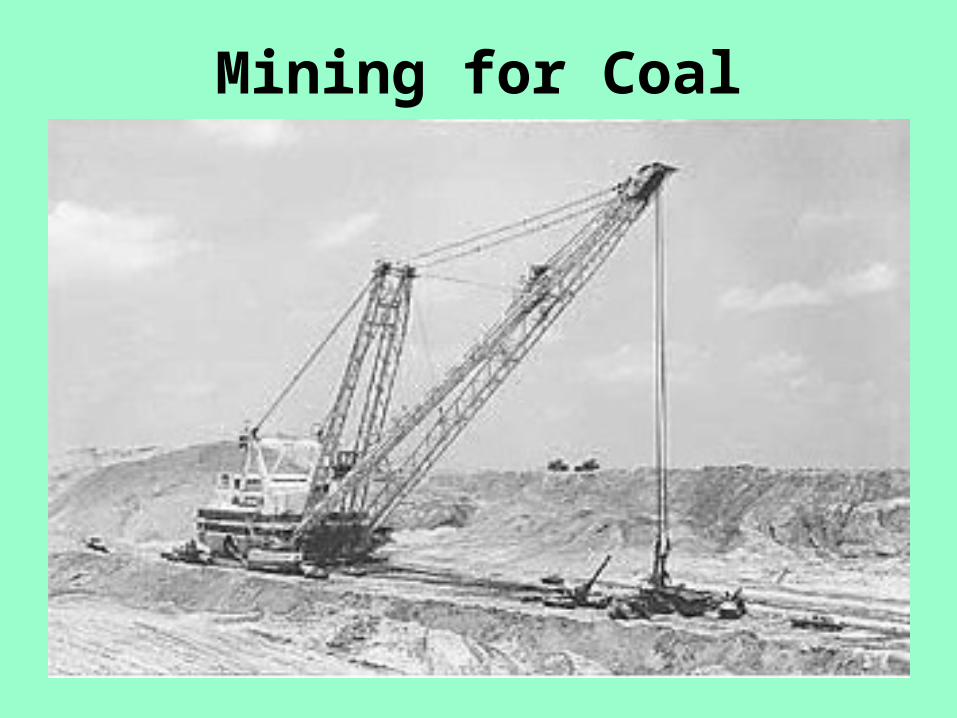
Mining for Coal

The Climate of Texas• Hot summers and mild winters
generally characterize Texas’s climate; however, Texas covers such a large area that other factors contribute to its climate as well.
• These factors include:
I. Absolute location
II. Relative location
III. Elevation
I. ABSOLUTE LOCATION• Texas lies in what are called the
“middle latitudes,” the region about midway between the equator and the North Pole.
• Because Texas is not very far from the Equator, it experiences warmer weather. South Texas is milder than North Texas.
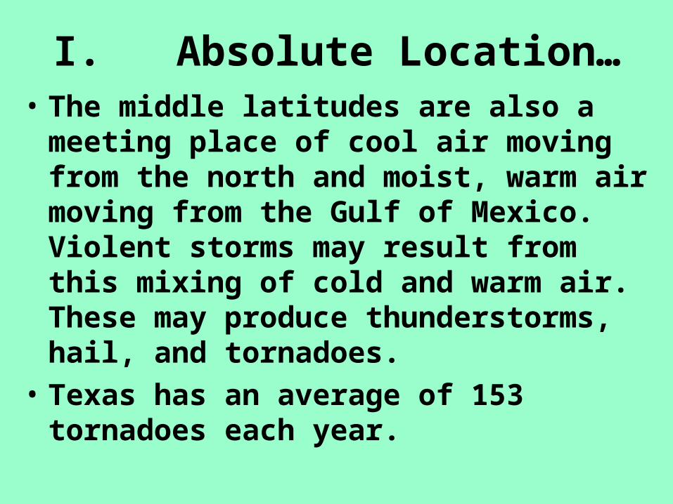
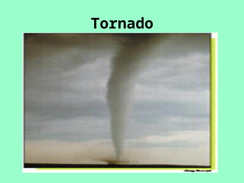
I. Absolute Location…• The middle latitudes are also a meeting
place of cool air moving from the north and moist, warm air moving from the Gulf of Mexico. Violent storms may result from this mixing of cold and warm air. These may produce thunderstorms, hail, and tornadoes.
• Texas has an average of 153 tornadoes each year.
Tornado
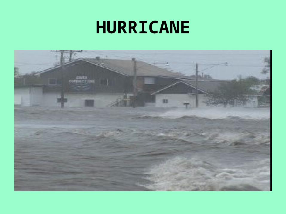
II. Relative Location• The location of Texas relative to the Gulf
of Mexico has a major influence on the climate of the state. Most of the year, winds blow inland from the coast for 200 miles or more. These gulf breezes cool Eastern Texas in the summer and warm it in the winter.
• Moisture from the gulf is the source of most of the rain that falls on our state. Hurricanes and tropical storms also originate in the gulf.
HURRICANE
Relative Location …
• In general, for each 17 miles from east to west in Texas, annual rainfall decreases by one inch.
• For example, the city of Orange in East Texas averages 59 inches of rainfall per year. El Paso, in West Texas, averages less than 8 inches of rain per year.

III. Elevation
• In general, the average temperature cools about 3 degrees for each 1,000-foot rise in elevation.
• Mountainous areas receive more rainfall because cooler air is less able to hold moisture.
• On the northern plains, there are no mountains to block powerful northers.
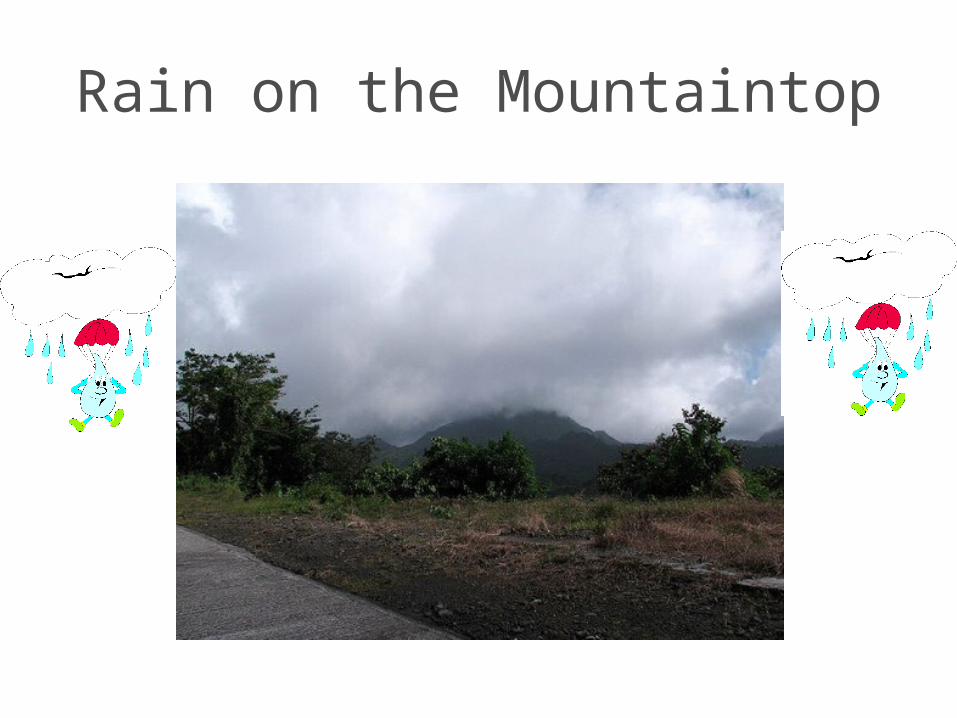
Rain on the Mountaintop

THE END