Embed Size (px)
Citation preview

© 2008 Eventure Events. All rights reserved.
Integrating a GIS Viewer with Customer Interaction Center (CIC) Screen
Forrest HornerSacramento County California

Many ways to integrate SAP & GIS,…but want to make it easy to use a map.
Topics To Discuss
• Back ground on Sacramento County
• Goal: Integrate GIS info with IS-U/CCS, cheaply– Basic linkage to GIS: Connection Object
– Display map info to Customer Service Rep
– Use of GuiXT to achieve integration
– Build vs Buy
• Challenge: Work Orders

• Sacramento County, California– About 1.3 million citizens
– Multiple Jurisdictions, incorporated Cities, Districts, etc
• Using SAP IS-U/CCS Utility Billing System– Implemented in July 1999 (on v1.1b)
– Bill for ~300K customers, ~$300m revenue
– Waste Water, Solid Waste, Drainage, Potable Water
– …have a SAP tech support staff of: ~8
Background Sacramento County CA

• As of August 2008, over 9,000 foreclosed properties
Sacramento CountyHit Hard By Sub-Prime Foreclosure Mess
So must do more, with less
Each pin on the
map is a bank
owned property.
Output “KML” from
SAP…
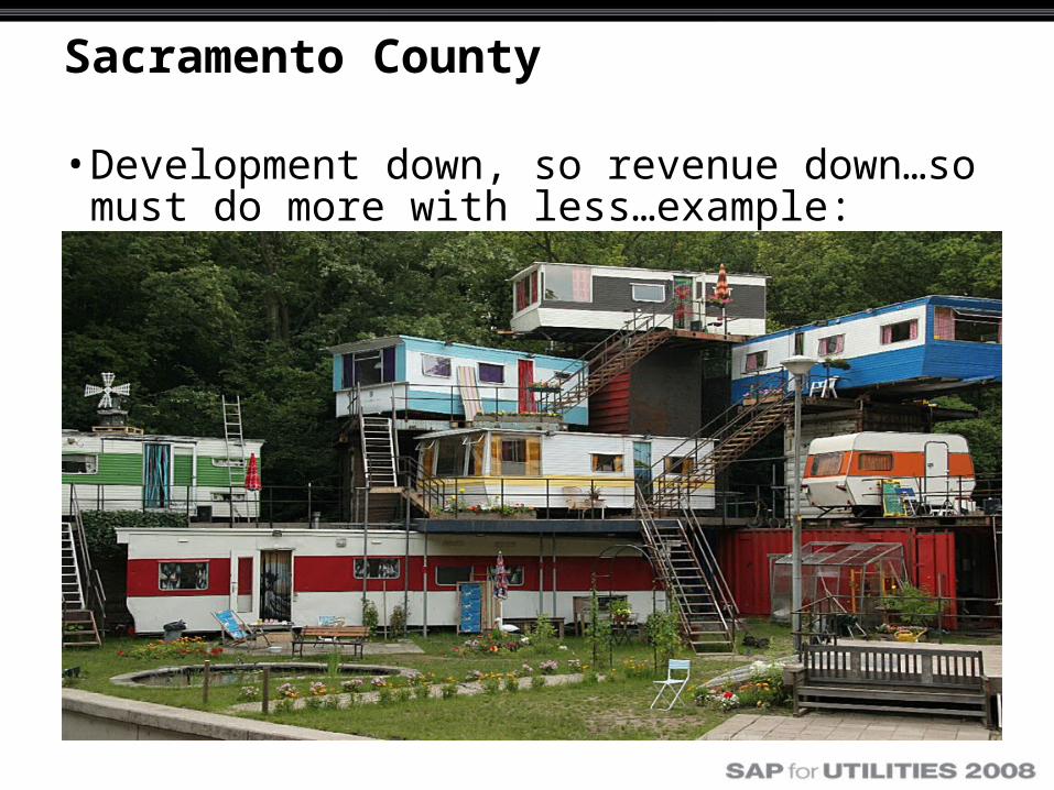
Sacramento County
• Development down, so revenue down…so must do more with less…example:

• Connection Object modified to hold Parcel Number
County Bills: parcels of land…
The county GIS system is ESRI based, and is a
primary db of parcel information from the
Assessors office.
Link by parcel number
Intra-net
Customer Include - IFLOT table: ZZ_APN

County GIS department ESRI based
……………..
• The CSR’s use GIS browser all day…
• The ESRI data is rendered via a browser,
• ESRI ArcView software to difficult for most user’s

Customer Service Agent- Front Line Troops
Wanted easy access GIS info & maps from CIC
If CSR needed to view a
map, must bring up a
separate GIS browser
window, then re-look up
the property…

Enhanced CIC with GuiXT
• New set of buttons-n-boxes to handle
GIS interaction

“Pop GIS” with GuiXT “Viewer”
• Map is “modal” and sits on top of CIC…
• Browser can be easily resized, moved, or hidden…
• SAP “Contract” is shown as layer in GIS

What if don’t have GIS/ESRI support?
• Can use Google Maps!– reverse “geo-code” (get Lat-Long) IFLOT address
Google has a ton of
features, including a
new “Street View”,
…and it’s all basically
free…
Sometimes has more
up-to-date info than
county db’s.
Could store in classification data

So, how’s it done (technically)?
SAP ESRI1. A “zkey” on SAP master data (CO, Device, etc)
2. Custom ESRI intranet browser (Microsoft ASP code)
3. Synactive GuiXT scripts for the CIC screen
4. A few ABAP RFC’s
SAP Google Maps1. Latitude-Longitude from SAP (look up via ABAP RFC)
2. Synactive GuiXT scripts for the CIC Screen
3. Google Maps API key
4. An internet web page
5. Some JavaScript
Integration between SAP & GIS achieved with minimal coding: >100 lines GuiXT script.

So what is Synactive GuiXT?
• GuiXT was the key integration technology
WWW.SYNACTIVE.COM
• GuiXT is a SAP GUI client side ‘scripting’ tool for altering SAP screens.
– Does not affect the underlying SAP system (server side)– Allows rapid ‘WYSIWYG’ development
• Total cost for ~100 end user’s about $20K - $30K– User licenses, training, etc, etc– ROI was achieved in about 2 months

GIS Integration: Build vs Buy?
Several products that integrate SAP and GIS
• Example: IMPRESS (WWW.IMPRESS.COM)– Server based product, useful for Work Order
management
SAP
SAP
ArcGIS
ESRI-SDE
Custom Custom
Commercial Commercial
RFC
Middle ware
Links to GIS - SAP Resources
• http://www.saudigis.org/FCKFiles/File/65_E_MostafaAboughanem_KSA.pdf
• http://www.pidpa.be/en/gis/Pidpa%20GIS%20UC2004paper.pdf

© 2008 Eventure Events. All rights reserved.
Forrest HornerSacramento County
Acknowledgments:• SAP ABAP RFC’s: Chris Twirbutt, [email protected]
• ESRI browser: Allen Briscoe-Smith, [email protected]