Embed Size (px)
Citation preview
®
®
© 2015 Open Geospatial Consortium
Urban Energy workshop
OGC and bSI
Geospatial and BIM
CityGML and IFC
INSPIRE-GWF 2015
Bart De Lathouwer
OGC

OGC®
© 2015 Open Geospatial Consortium
OGC®
Collaboration OGC, bSI and ISO TC 59
• Memorandum of Understanding
– Jointly develop standards
• Not the first time we touch on the topic
– AECOO-1 Testbed (2009), delivery of BIM through OWS
© 2015 Open Geospatial Consortium
OGC®
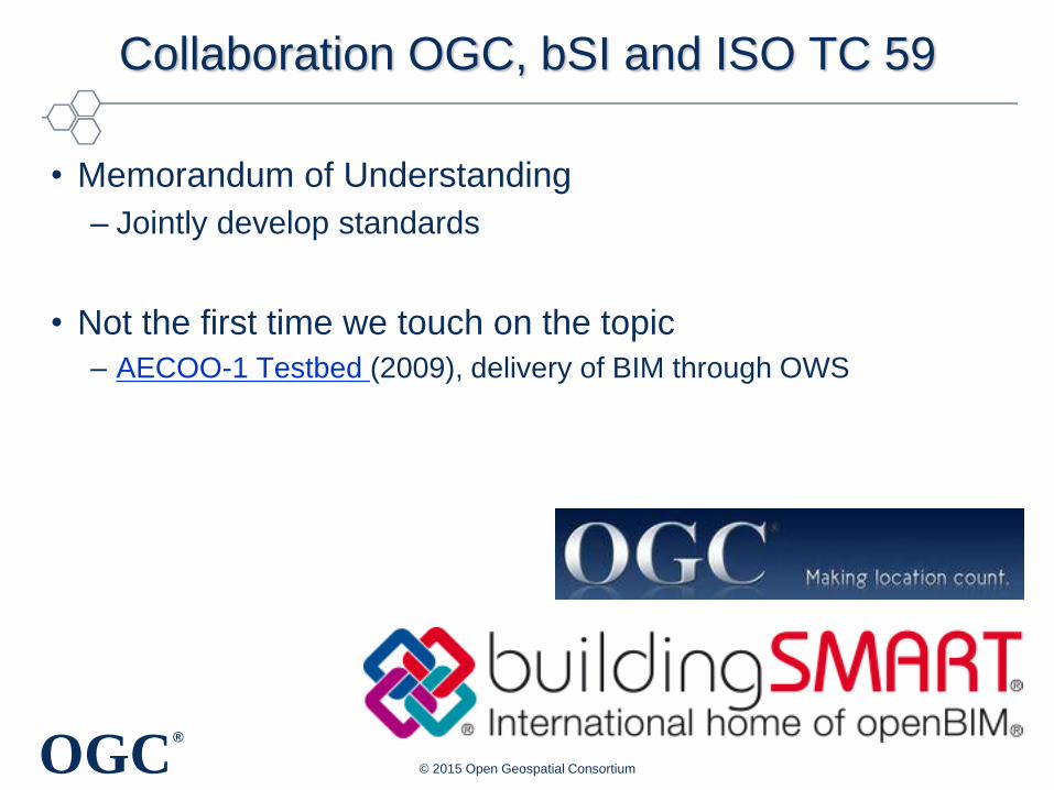
Collaboration OGC, bSI and ISO TC 59
• Memorandum of Understanding
– Jointly develop standards
• Not the first time we touch on the topic
– AECOO-1 Testbed (2009), delivery of BIM through OWS
• Relevant working groups (similar to bSI rooms)
– CityGML, IndoorGML, Urban Planning DWG, Land &
Infra DWG, 3DIM
© 2015 Open Geospatial Consortium
OGC®
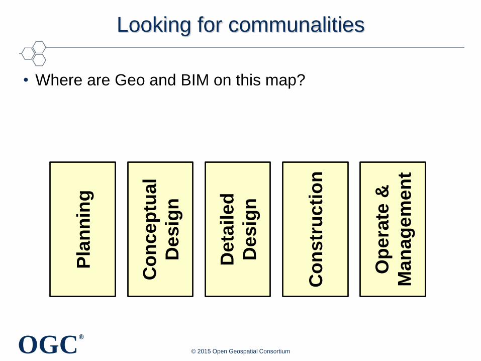
Looking for communalities
• Where are Geo and BIM on this map?
© 2015 Open Geospatial Consortium
Pla
nn
ing
Co
nce
ptu
al
De
sig
n
Deta
ile
d
De
sig
n
Co
ns
tru
cti
on
Op
era
te &
Man
ag
em
en
t
OGC®
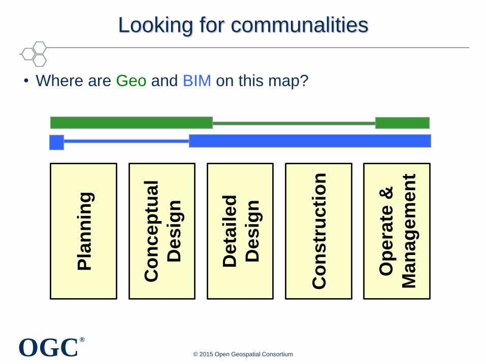
Looking for communalities
• Where are Geo and BIM on this map?
© 2015 Open Geospatial Consortium
Pla
nn
ing
Co
nce
ptu
al
De
sig
n
Deta
ile
d
De
sig
n
Co
ns
tru
cti
on
Op
era
te &
Man
ag
em
en
t
OGC®
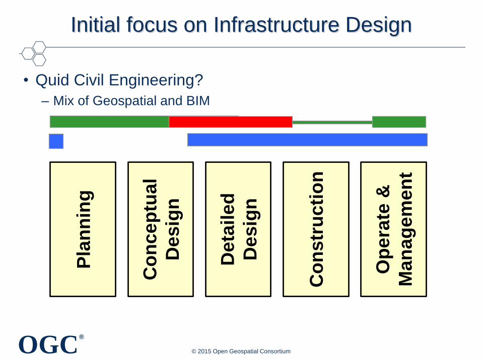
Initial focus on Infrastructure Design
• Quid Civil Engineering?
– Mix of Geospatial and BIM
© 2015 Open Geospatial Consortium
Pla
nn
ing
Co
nce
ptu
al
De
sig
n
Deta
ile
d
De
sig
n
Co
ns
tru
cti
on
Op
era
te &
Man
ag
em
en
t
OGC®
Initial focus on Infrastructure Design
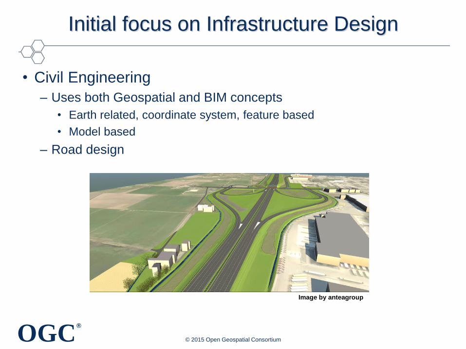
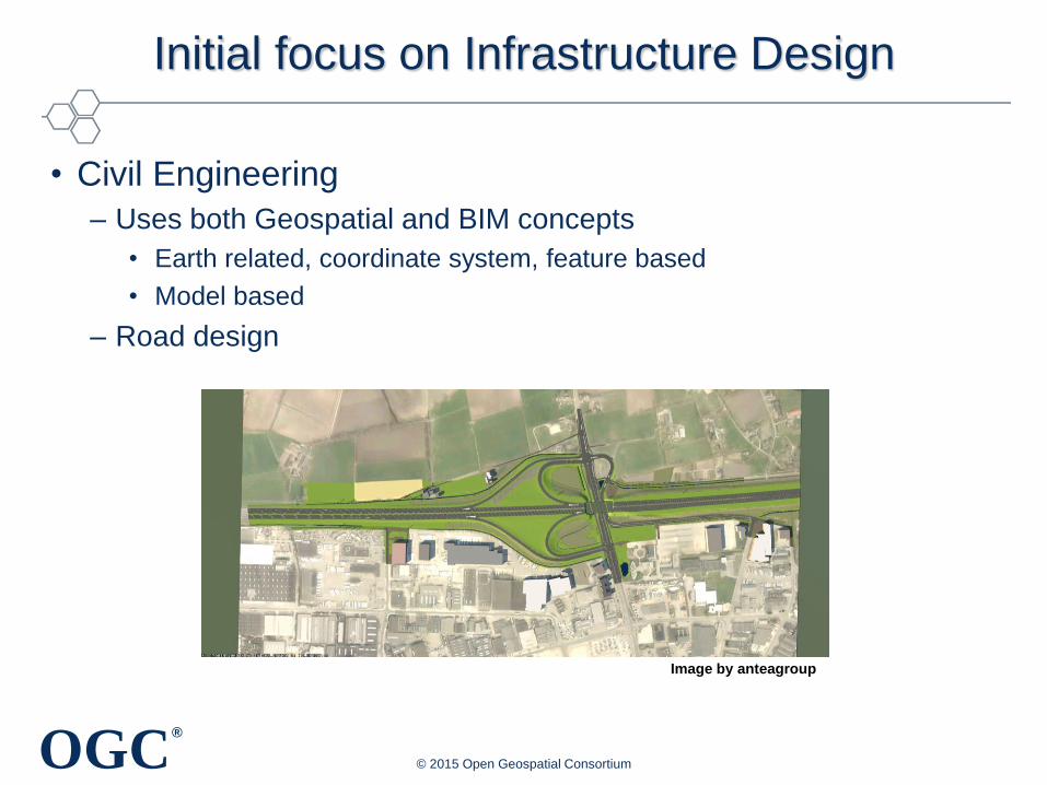
• Civil Engineering
– Uses both Geospatial and BIM concepts
• Earth related, coordinate system, feature based
• Model based
– Road design
© 2015 Open Geospatial Consortium
Image by anteagroup
OGC®
Initial focus on Infrastructure Design
• Civil Engineering
– Uses both Geospatial and BIM concepts
• Earth related, coordinate system, feature based
• Model based
– Road design
© 2015 Open Geospatial Consortium
Image by anteagroup
OGC®
Initial focus on Infrastructure Design
• Joint conceptual model:
– bSI Infrastructure room
– Land and Infrastructure Domain Working Group
– be synchronized with the concurrent efforts by
buildingSMART in IFC
– Learn lessons from LandXML
– be more easily integrated with CityGML and TransXML
– based on a UML conceptual model developed prior to
the GML (and IFC) encoding
– Under the leadership of Paul Scorponcini
© 2015 Open Geospatial Consortium
OGC®
Towards Semantic Interoperability
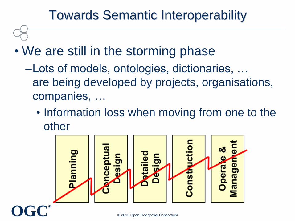
• We are still in the storming phase
–Lots of models, ontologies, dictionaries, …
are being developed by projects, organisations,
companies, …
• Information loss when moving from one to the
other
© 2015 Open Geospatial Consortium
OGC®
Concluding
• Collaboration OGC, bSI and ISO TC 59
– This is big news!
• Joint conceptual model, encoding in GML and IFC
• User need to focus on solving business problems– Not spending time converting / recreating data
• Standards are created by people like yourself
– Participate in the process
© 2015 Open Geospatial Consortium

OGC®
© 2015 Open Geospatial Consortium
Thank you
OGC®
Thank you
• bdelathouwer (at] opengeospatial.org
© 2015 Open Geospatial Consortium