Embed Size (px)
DESCRIPTION
Citation preview
www.iowafloodcenter.
org
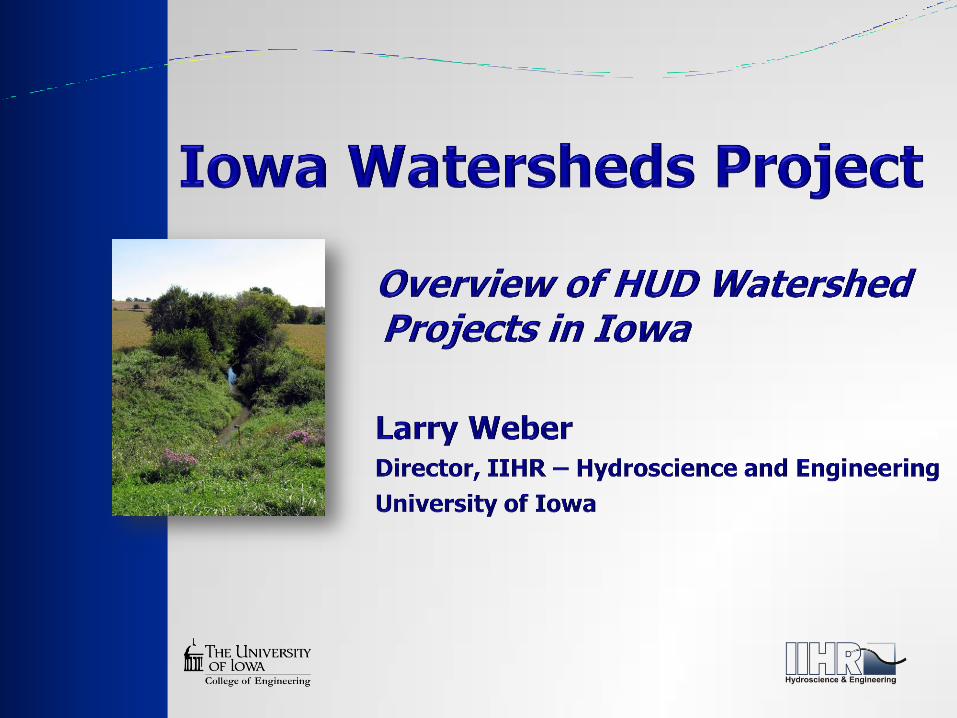
In response to extreme flooding in 2008, the state
legislature established the Iowa Flood Center at the
University of Iowa to serve as a technical resource for
Iowans
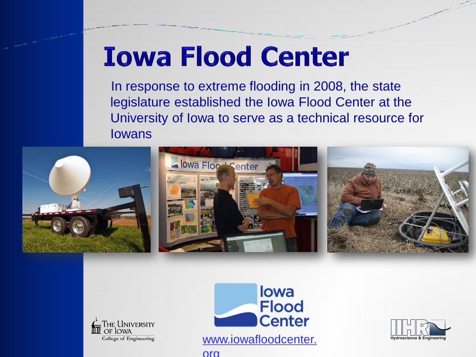
A user-friendly, one-stop web platform, designed to
allow access to:
Community-based flood conditions
Forecasts
Inundation maps
Flood-related data, information, and applications
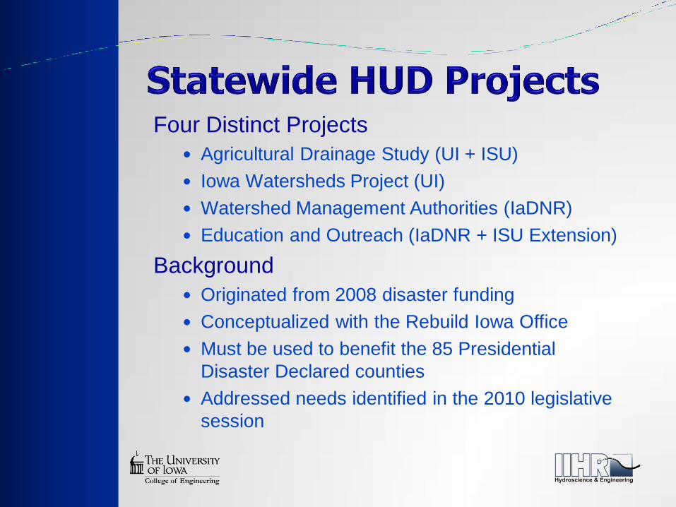
Four Distinct Projects
Agricultural Drainage Study (UI + ISU)
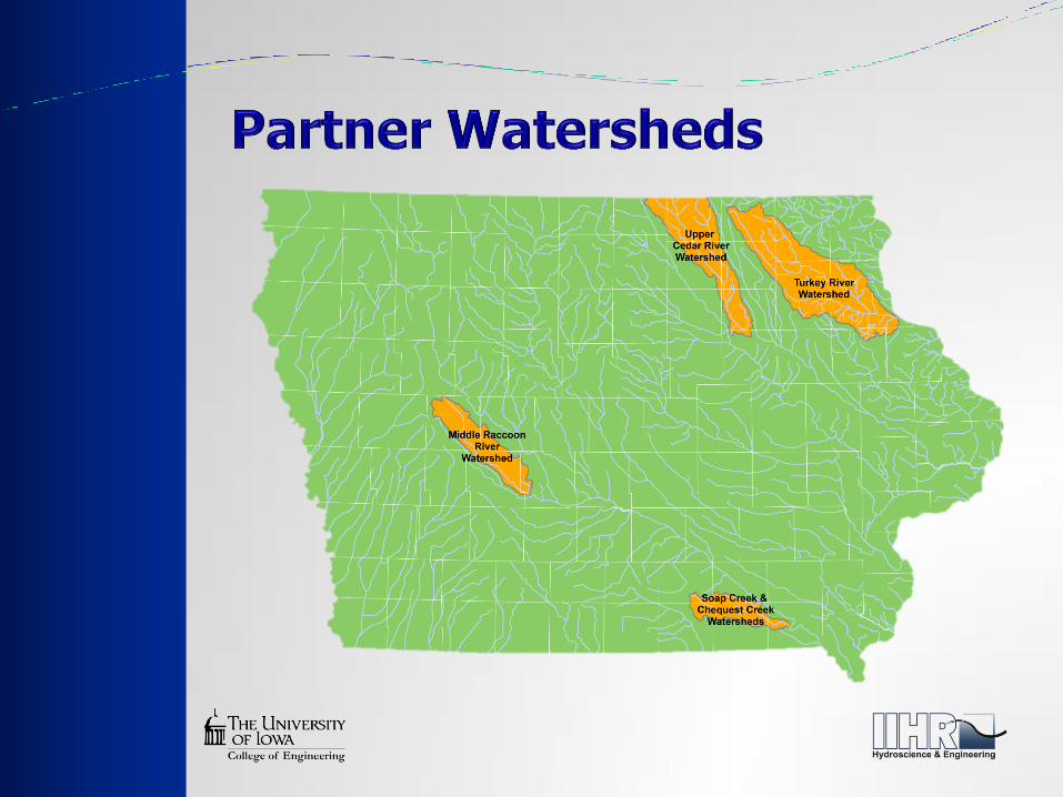
Iowa Watersheds Project (UI)
Watershed Management Authorities (IaDNR)
Education and Outreach (IaDNR + ISU Extension)
Background
Originated from 2008 disaster funding
Conceptualized with the Rebuild Iowa Office
Must be used to benefit the 85 Presidential
Disaster Declared counties
Addressed needs identified in the 2010 legislative
session

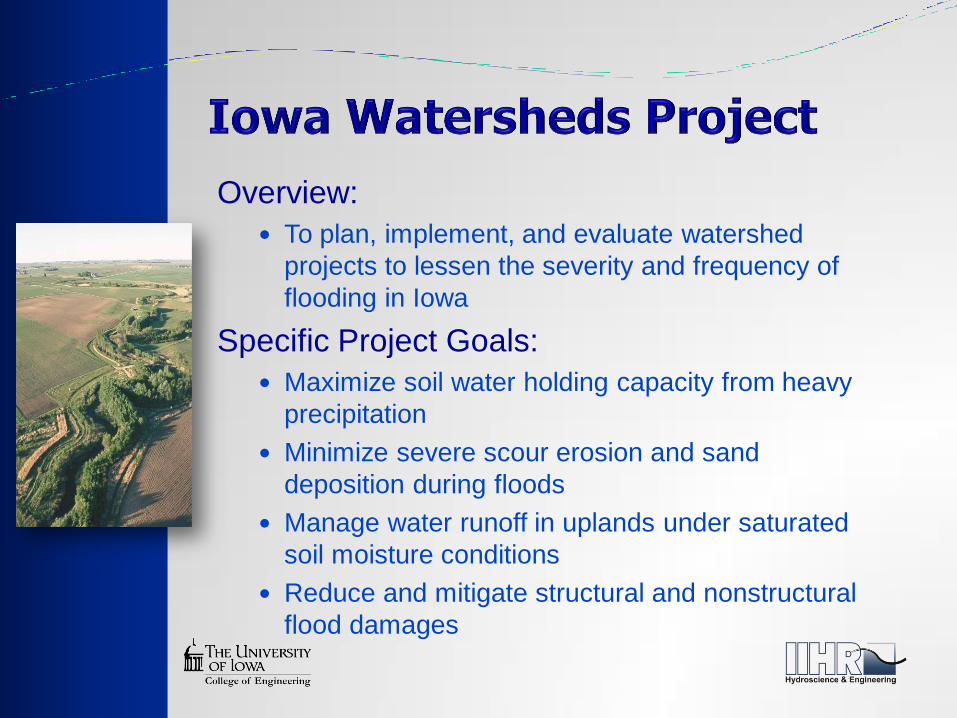
Overview:
To plan, implement, and evaluate watershed
projects to lessen the severity and frequency of
flooding in Iowa
Specific Project Goals:
Maximize soil water holding capacity from heavy
precipitation
Minimize severe scour erosion and sand
deposition during floods
Manage water runoff in uplands under saturated
soil moisture conditions
Reduce and mitigate structural and nonstructural
flood damages
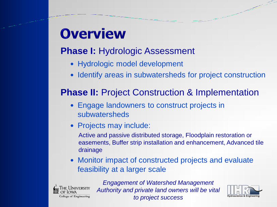
Hydrologic model development
Identify areas in subwatersheds for project construction
Phase I: Hydrologic Assessment
Engage landowners to construct projects in
subwatersheds
Projects may include:
Active and passive distributed storage, Floodplain restoration or
easements, Buffer strip installation and enhancement, Advanced tile
drainage
Monitor impact of constructed projects and evaluate
feasibility at a larger scale
Phase II: Project Construction & Implementation
Engagement of Watershed Management
Authority and private land owners will be vital
to project success
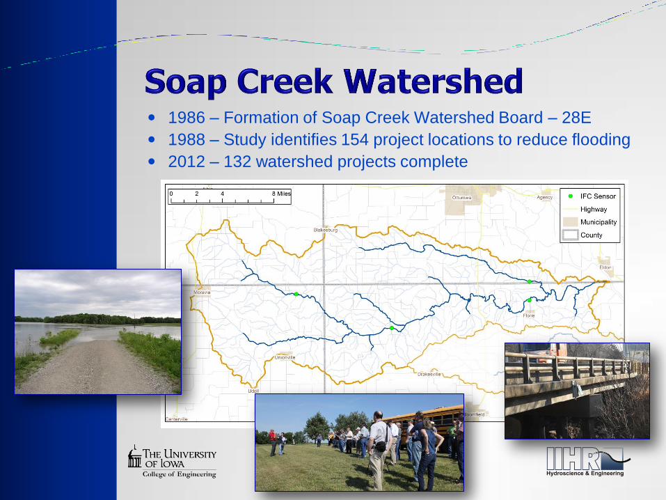
1986 – Formation of Soap Creek Watershed Board – 28E
1988 – Study identifies 154 project locations to reduce flooding
2012 – 132 watershed projects complete

Watershed Area 250 mi2 160,000 acres
Area Controlled 5 mi2 2,889 acres
Area controlled in 1993: 2%

Watershed Area 250 mi2 160,000 acres
Area Controlled 25 mi2 15,911 acres
Area controlled in 1999: 10%
Watershed Area 250 mi2 160,000 acres
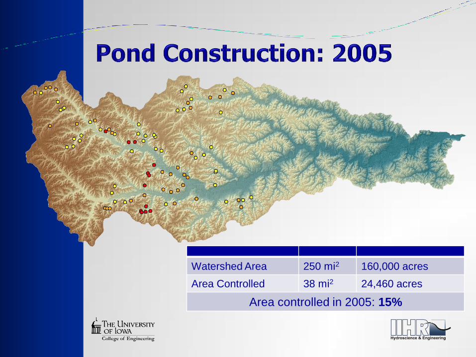
Area Controlled 38 mi2 24,460 acres
Area controlled in 2005: 15%

Watershed Area 250 mi2 160,000 acres
Area Controlled 47 mi2 30,129 acres
Area controlled in 2008: 19%

Watershed Area 250 mi2 160,000 acres
Area Controlled 60 mi2 38,100 acres
Area controlled in 2012: 24%
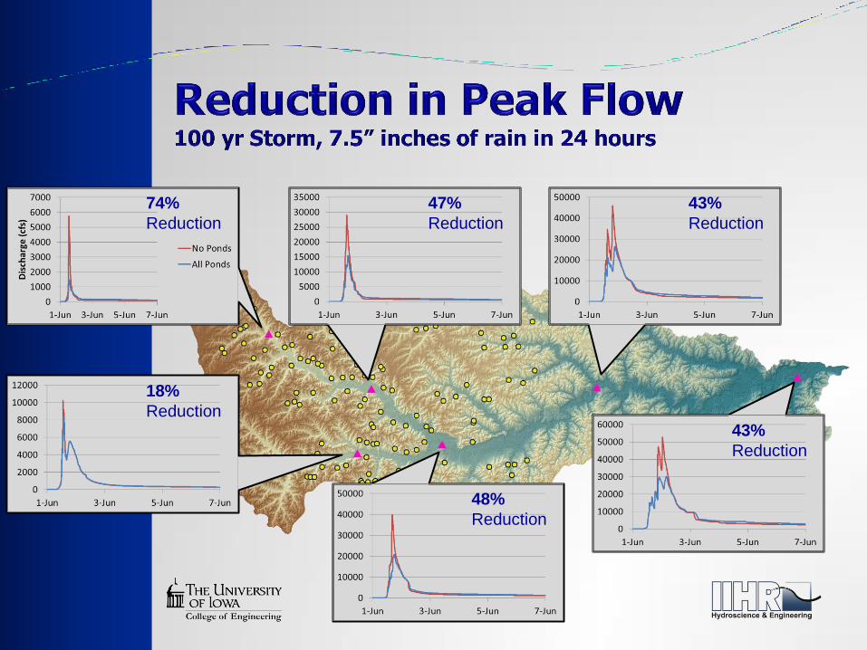
74%
Reduction
48%
Reduction
43%
Reduction
47%
Reduction
43%
Reduction
18%
Reduction


![Biografía de Max Weber [Marianne Weber]](https://img.dokumen.tips/doc/110x75/563db8e6550346aa9a9801b3/biografia-de-max-weber-marianne-weber.jpg)