Embed Size (px)
Citation preview

THE PALGRAVE ATLAS OF BYZANTINE HISTORY

This page intentionally left blank
THE PALGRAVE ATLAS
OF BYZANTINE HISTORY
JOHN HALDON
paigrave macmillan

(', John Haldon 2005 Softcover reprint of the hardcover 1st edition 2005 978-1-4039-1772-0
All rights reserved. No reproduction, copy or transmission of this publication may be made without written permission.
No paragraph of this publication may be reproduced. copied or transmitted save with wrinen permission or in accordance with the provisions of the Copyright, Designs IIJid Patents Act 1988, or under the terms of IUIY licence permitting limited copying issued by the Copyright Licensing Agency, 90 Tonenham Coun Road, London WIT 4LP.
Any person who does any unauthorised act in relation to this publication may be liable to criminal prosecution and civil claims for damages,
The author has asserted his right to be identified as the author of this work in accordance with the Copyright, Designs and Patents Act 1988.
First published 2005 by PALGRAVE MACMILLAN Houndmills. Basingstoke. Hampshire RG21 6XS and 175 Fifth Avenue. New York. N.Y. 10010 Companies and representatives throughout the world
PALGRAVE MACMILLAN is the global academic imprint of the Palgrave Macmillan division of St. Manin's Press. LLC and of Palgrave Macmillan Ltd. Macmillan• is a registered trademark in the United States, United Kingdom IUid other countries. Palgrave is a registered trademark in the European Union and other countries.
ISBN 978-0-230-24364-4 ISBN 978-0-230-27395-5 DOI 10.1057/9780230273955
This book is printed on paper suitable for recycling and made from fully managed and sustained forest sources.
A catalogue record for this book is available from the British Library.
A catalogue record for this book is available from the Library of Congress
10987654321 14 13 12 II 10 09 08 07 06 OS
Contents
List of Maps, Figures and Tables vi Preface ix A Note on Placenames x
1. General Maps 1
PART ONE: THE EARLY PERIOD (C. 4TH-7TH CENTURY)
2. Historical Development: from Rome to Byzantium 16 3. Cities, Provinces and Administration 33 4. The Church 48
PART TWO: THE MIDDLE PERIOD (C. 7TH-1 1TH CENTURY)
5. Historical Development: the Rise of the Medieval East Roman World 57
6. Economy, Administration and Defence 68 7. Church and Monastic Organisation 90 8. The Empire in its International Context 97
PART THREE: THE LATER PERIOD (C. 1 1TH-15TH CENTURY)
9. Apogee and Collapse: the Waning of East Rome 115 10. Economy and Administration 128 11. Frontiers and Neighbours 141 12. Church and Monastery in the Later Byzantine World 158
Chronological Overview 167 Glossary of Byzantine and Technical Terms 170 Bibliography 173 Appendix 1: Rulers and Princes 176 Appendix 2: Patriarchs and Popes 180 Index 183
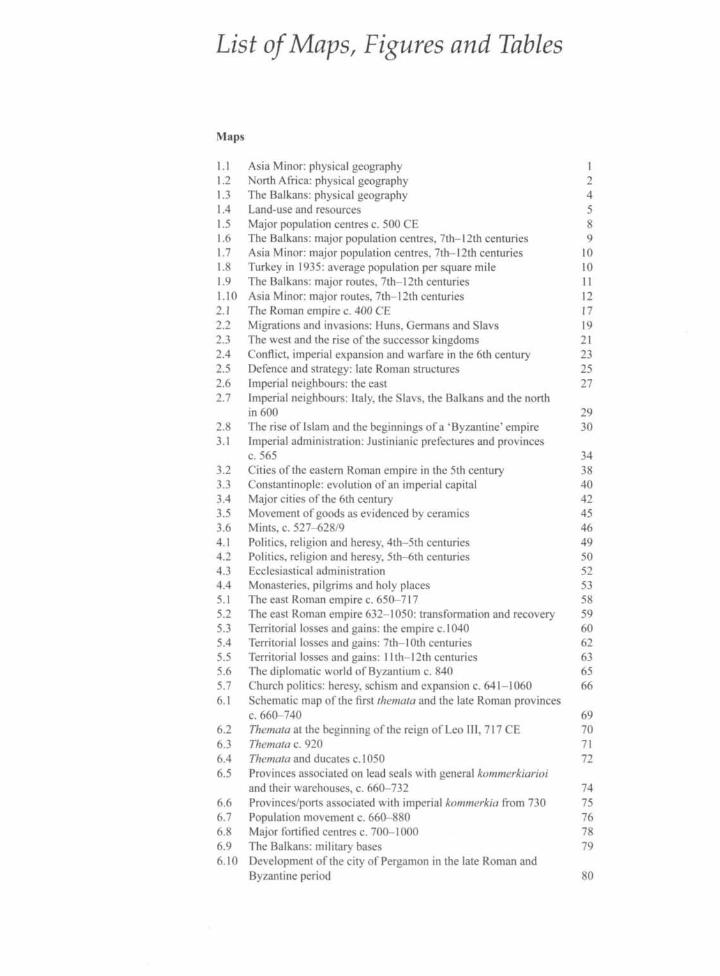
List of Maps, Figures and Tables
Maps
1.1 Asia Minor: physical geography 1 1.2 North Africa: physical geography 2 1.3 The Balkans: physical geography 4 1.4 Land-use and resources 5 1.5 Major population centres c. 500 CE 8 1.6 The Balkans: major population centres, 7th— 12th centuries 9 1.7 Asia Minor: major population centres, 7th— 12th centuries 10 1.8 Turkey in 1935: average population per square mile 10 1.9 The Balkans: major routes, 7th—12th centuries 11 1.10 Asia Minor: major routes, 7th-12th centuries 12 2.1 The Roman empire c. 400 CE 17 2.2 Migrations and invasions: Huns, Germans and Slavs 19 2.3 The west and the rise of the successor kingdoms 21 2.4 Conflict, imperial expansion and warfare in the 6th century 23 2.5 Defence and strategy: late Roman structures 25 2.6 Imperial neighbours: the east 27 2.7 Imperial neighbours: Italy, the Slavs, the Balkans and the north
in 600 29 2.8 The rise of Islam and the beginnings of a'Byzantine'empire 30 3.1 Imperial administration: Justinianic prefectures and provinces
c. 565 34 3.2 Cities of the eastern Roman empire in the 5th century 38 3.3 Constantinople: evolution of an imperial capital 40 3.4 Major cities of the 6th century 42 3.5 Movement of goods as evidenced by ceramics 45 3.6 Mints, c. 527-628/9 46 4.1 Politics, religion and heresy, 4th—5th centuries 49 4.2 Politics, religion and heresy, 5th-6th centuries 50 4.3 Ecclesiastical administration 52 4.4 Monasteries, pilgrims and holy places 53 5.1 The east Roman empire c. 650-717 58 5.2 The east Roman empire 632-1050: transformation and recovery 59 5.3 Territorial losses and gains: the empire c. 1040 60 5.4 Territorial losses and gains: 7th-10th centuries 62 5.5 Territorial losses and gains: 1 lth-12th centuries 63 5.6 The diplomatic world of Byzantium c. 840 65 5.7 Church politics: heresy, schism and expansion c. 641-1060 66 6.1 Schematic map of the first themata and the late Roman provinces
c. 660-740 69 6.2 Themata at the beginning of the reign of Leo III, 717 CE 70 6.3 Themata c. 920 71 6.4 Themata and ducates c. 1050 72 6.5 Provinces associated on lead seals with general kommerkiarioi
and their warehouses, c. 660-732 74 6.6 Provinces/ports associated with imperial kommerkia from 730 75 6.7 Population movement c. 660-880 76 6.8 Major fortified centres c. 700-1000 78 6.9 The Balkans: military bases 79 6.10 Development of the city of Pergamon in the late Roman and
Byzantine period 80
6.11 Late Roman and Byzantine Amorion in the 6th-9th centuries 81 6.12 Resources, industry and trade routes c. 900-1050 82 6.13 The revival of urban life: distribution of urban centres/bishoprics
in the empire c. 900 84 6.14 Imperial mints c. 640-1050 89 7.1 Church administration c. 1000 91 7.2 Major centres of monastic activity, 9th—1 lth centuries: the west 93 7.3 Major centres of monastic activity, 9th—1 lth centuries: the east 94 7.4 Constantinople, Rome and emperor: the 11th century 96 8.1 Byzantium in its wider cultural setting c. 1025 98 8.2 The empire of Charlemagne c. 814 99 8.3 Ottonian central Europe c. 911-1030 100 8.4 Italy in the later 9th and 10th centuries 101 8.5 The Islamic world c. 900-920 104 8.6 The Islamic world c. 1071-1100 106 8.7 Armenia, Georgia and Transcaucasia 550-1000 108 8.8 The eastern frontier c. 700-950 109 8.9 The steppes and the Rus'c. 680-1000 110 9.1 The empire in context 1050-1204 116 9.2 The Crusades 1096-1204 117 9.3 The Fourth Crusade, the Latin empire and the empire of Nicaea 119 9.4 Recovery, civil war, contraction 1261-1351 121 9.5 Decline and fall 1350-1453 123 9.6 Competing states: Epiros, Thessaly and the Latin territories 125 9.7 The empire of Trebizond 126 10.1 Defence and administration: the Komnenian system 129 10.2 Provincial administration 1204-1453 131 10.3 Towns and local elites 1100-1453 136 10.4 Commerce, trade and production c. 1200-1400 138 11.1 Byzantine Italy and the Balkans c. 960-1180 142 11.2 (a) The Balkan states c. 1200 144
(b) The Balkan states c. 1220 144 (c) The Balkan states c. 1320 145 (d) The Balkan states c. 1350 145
11.3 Byzantium's Balkan neighbours 1350-1453: Serbs, Bulgars and Turks 147
11.4 Seljuks, Tiirkmens and Mongols 149 11.5 Venice, Genoa and the merchant empires 151 11.6 Armenia and Georgia c. 1000-1460 152 11.7 Russia and the steppes c. 1000-1453 154 11.8 (a) The Islamic Middle East c. 1100-1140 156
(b) The Islamic Middle East c. 1170-1180 156 (c) The Islamic Middle East c. 1230 156 (d) The Islamic Middle East c. 1355 156 (e) The Islamic Middle East c. 1401 156 (f) The Islamic Middle East c. 1430 156
12.1 Diocesan organisation c. 1070: the Notitiae 159 12.2 Monasteries and rules: the monasteries of Athos 161 12.3 (a) The Roman and Constantinopolitan churches c. 1025 162
(b) Rome and the fragmentation of the eastern orthodox church c. 1220 163 (c) The dominance of Rome c. 1470 164
Figures
3.1 The imperial civil and fiscal administration c. 560 35 3.2 The imperial military and palatine administration c. 560 36

3.3 Comparative size of walled towns in the eastern Roman empire, 5th-7th centuries 43
3.4 The transformation in eastern towns 44 6.1 The imperial administration c. 700-1050 86 7.1 Church administration in the later 11th century 92 10.1 Central government and court 1081-1204 133 10.2 Central government and court 1204-1453 135
Tables
6.1 The money system c. 650-1050 88 10.1 The coinage system after the reform of Alexios I c. 1092-1204 139 10.2 The coinage system c. 1261-1350 139 10.3 The coinage system c. 1350-1453 139
Preface
This Historical Atlas is an attempt to represent graphically some of the major developments in the history and evolution of the medieval eastern Roman or Byzantine empire. It may be seen as both an introduction to the history of the Byzantine empire in its own right and as an accompaniment to general histories of the empire. It cannot, of course, illustrate all facets of the empire's development, and in particular it can say very little, without gross over-simplification, about the culture, beliefs and social or economic relationships and structures of the empire. Nevertheless history books are all too rarely accompanied by useful and detailed maps, and I hope that this short volume of maps with parallel explanatory texts will at least put Byzantium more clearly in its geopolitical context and show how its internal history is interlinked with and influenced by developments among the peoples and political formations which surrounded it.
A word of caution is in order, however. The breadth of coverage of the Atlas inevitably means that the maps are drawn to a relatively small scale. Absolute exactitude in respect of the relationship between physical features and historical or cultural features such as frontiers is not, in consequence, attainable. This is especially true given the lack of precise information for, or the ambiguity pertaining to, many such features. It is also the case that historians disagree among themselves about such features, while the line of a particular treaty frontier, for example, or the lines of provincial and state boundaries or frontiers must be guessed from often very general information. Users should be aware of these limitations from the beginning, and while I have tried to base all the maps on the results of the most recent research, there will inevitably be disagreement about the exact location of many features.
I have appended a brief time-line or chronology, a glossary of Byzantine technical terms and a short bibliography, the last including the works from which the information contained in the different maps is drawn and representing also appropriate further reading.
I owe thanks in particular to my colleagues in the Centre for Byzantine, Ottoman & Modern Greek Studies at the University of Birmingham, as well as to Henry Buglass for his excellent cartography and to Graham Norrie for much valuable help with technical matters, both of the Institute of Archaeology & Antiquity at Birmingham. I am particularly indebted to my friend Meaghan McEvoy, who found the time to act as a generous and invaluable commentator on the texts, to Ruth Macrides and Dimiter Angelov, who also commented on sections of the text, and in particular to Rosemary Morris, who went through maps and texts and saved me from many a blunder. All of their views helped me fashion the whole into a more useful form than it might otherwise have been. Needless to say, any shortcomings are mine alone.
Finally, thanks are also due to the editorial team at Palgrave for their patience and co-operation in producing this volume.
A Note on Placenames
In rendering placenames appropriately across time and across a cultural milieu in which several languages were used, the historian is confronted by a number of difficulties. I have chosen to adopt in this atlas the simple expedient of using common English versions of the best-known places - thus Constantinople, Thessalonica, Rhodes, rather than Konstantinoupolis, Theassalonike/ Thessaloniki, Rhodos - for the whole period, and otherwise to transliterate the names according to the common usage of the dominant culture of the area in question. Chronologically this means that up to the seventh century most names within the Roman world are given in their Latin form; thereafter in their Greek form. There will undoubtedly be some inconsistencies, but I hope this will at least allow a clear identification of the places in question.