Embed Size (px)
Citation preview

The importance of satellite data for nowcasting in the
WWRP strategy
Estelle de Coning and Paolo Ruti World Weather Research Division
Steve Goodman Chief Program Scientist, NOAA

WMO definition
• Nowcasting comprises the detailed description of the current weather along with forecasts obtained by extrapolation for a period of 0 to 6 hours ahead.
• In this time range it is possible to forecast small features such as individual storms (20 min for single cell) with reasonable accuracy.
• A forecaster using the latest radar, satellite and observational data is able to make analysis of the small-scale features present in a small area such as a city and make an accurate forecast for the following few hours.
• It is, therefore, a powerful tool in warning the public of hazardous, high-impact weather including tropical cyclones, thunderstorms and tornados which cause flash floods, lightning strikes and destructive winds.
http://www.wmo.ch/pages/prog/amp/pwsp/Nowcasting.htm

Uses of satellite data for nowcasting
• Satellite data can help to nowcast the weather in several ways: – Real time (1-15 min) images - trained forecasters interpret
the images (single channels or combinations of channels or RGBs), and
– Real time (1-15 min) products - to identify features (eg. Convective Initiation, Rapidly Developing Thunderstorms, gravity waves, Hurricane Intensity, Fog, VolAsh, Fires, Dust, Smoke)
– Used as input for numerical weather prediction models (data assimilation, e.g., AMVs, Radiances) (10min-1hr)
– Use as a verification tool of NWP products (in real time or after an event, e.g., synthetic model radiances)

Satellite images (RGB) every 15 min (MSG)
Convection RGB at 1430 UTC on 6 Nov 2005 Image courtesy Jochen Kerkmann EUMETSAT

Satellite products: RDT for 3 March 2015 from
1000 to 2130 UTC Lake Victoria (East Africa)
Severe hail
storm with
lots of
damage to
infrastructure
during
evening,
from 1900 -
2100 UTC,
every 15
minutes

ABI 0.64 mm Channel 5-min VIS Imagery, Yucatan Peninsula Sea Breeze

30-second Imagery of Severe Storms in Colorado May 8, 2017
May 8 2017

8
GLM lightning superimposed on GLM background
April 28 – May 1, 2017
GLM Tracks Upscale Growth of Flood Producing MCS and Embedded Severe Storms

9
3.9 um (hotspots) 0.47 um (smoke plumes)
ABI Tracks Wild Fires

Experimental Turbulence Product

THE USE OF SATELLITE
INFORMATION IN NOWCASTING AND
SHORT-RANGE NWP
FINDINGS AND RECOMMENDATIONS
FROM A PANEL DISCUSSION
EUMETSAT Satellite Conference, 21-25 September 2015, Toulouse
J. Schmetz, J. Onvlee, S. Benjamin, M. Kazumori, J.-F. Mahfouf, F.
Rabier and R. Saunders
http://www.emetsoc.org/resources/the-use-of-satellite-information-in-nowcasting-and-short-range-nwp-2/

NWP development for Nowcasting and Short-range Numerical Weather Prediction
• More frequent updating (10 minutes to 1 hour) and a very short latency of observations is required for assimilation into models moving into the current nowcasting range.
• Further improvements in model physics are needed to capture more realistic convection (including cloud processes) and turbulence at very high resolution. Case studies using satellite data will help to understand and validate model physics.
• In order to more directly compare model and observations, tools to simulate satellite observations from model output are very desirable for both forecasters and model developers.

Utilisation of Satellite Data in SRNWP
• Measurements and assimilation are needed at high spatial (better than 10 km) and temporal resolution (from 10min to 1h, or better). Very stringent latency requirements exist (~ few minutes) to meet short assimilation cut-off times that should require local data processing.
• Although geostationary satellites are generally expected to have the largest influence, LEO satellites play a strong role at high latitudes owing to their high spatial resolution and repeat coverage, as well as active sensors in LEO (microwave, SAR, RADAR, LIDAR).
• Satellite data can be used for model validation including many aspects of a model.
• New satellite data and products should be given to users for assessment as quickly as possible.

Harvey - Model 18-hr forecast GOES-16 ABI Band 13, 10.3 mm IR Image

Harvey - Observed 1802 UTC GOES-16 ABI Band 13, 10.3 mm IR Image
5 SEPT 2017

UCAR 10 Member Ensemble, Valid 20 UTC Prob. Lightning for 5 September, 2017

GOES-16 GLM Total Lightning Observed Lightning for 5 September, 2017

The World Weather Research Programme
MISSION: The WMO World Weather Research Programme
(WWRP) promotes international and interdisciplinary research for
more accurate and reliable forecasts from minutes to seasons,
expanding the frontiers of weather science to enhance society’s resilience to high-impact
weather and the value of weather information for users.

WWRP Implementation Plan
Based on outcome of the World Weather Open Science Conference and on the engagement of all the WWRP community WWRP webpage:
http://www.wmo.int/pages/prog/arep/wwrp/new/wwrp_new_en.html
http://library.wmo.int/opac/index.php?lvl=notice_display&id=17276#.VXmfdev3j5k

Challenges Core Projects Working Groups
Possible new core project on Aviation

HIWeather projects PROJECTS: • NAWDEX: (Jet stream near North America, as well as their influence on
downstream propagation across the North Atlantic, and their consequences for high-impact weather in Europe)
• Waves to Weather (W2W): Improve insight into ensembles to identify the sources and evolution of uncertainty)
• HYMEX (Improve our understanding of the water cycle, with emphasis on extreme events in the Mediterranean),
• RELAMPAGO-CACTI (improve observation and understanding of convective storms in the lee of the Andes Mountains in central Argentina that are poorly represented by weather and climate models and produce high impact weather)
• ICE-POP 2018 (to advance seamless prediction from nowcasting to short-range forecast for winter weather over complex terrains based on intensive observation campaign, Korea winter Olympics),
• SURF (to promote cooperative international urban research in Beijing area to address urban convection and haze challenges )
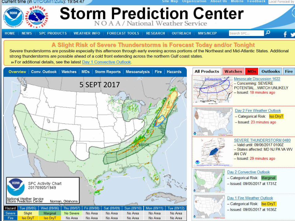
HIGH impact Weather lAke sYstem HIGHWAY project (part of HIW)
• A few years ago the WMO Executive Council (EC) recommended that a project is considered for the Lake Victoria Watershed with the aim to improve early warning services to deal with disaster related to water spouts, waves, and wind gusts and their impacts on local communities (nowcasting to 5 days)
• Recently, the WMO secured funding from Department For International Development (DFID) in the UK, through the Weather and Climate Information SERvices for Africa (WISER) programme.
• Several departments in WMO have already started and will be working together in this project, and form part of the core project partners, namely WMO, UKMO and the East African NMHSs.
• Satellite data, images and products will play a major role in this data sparse region for nowcasting and early warning purposes
Approximately 30 million people live in the LV basin and it provides employment for 3-4 million people. 200,000 fishermen on the Lake

SWFDP for East Africa (including NMHS from Burundi, Ethiopia,
Kenya, Rwanda, South Sudan, Tanzania and Uganda)

SWFDP for southern Africa
From WMO publication on Guidelines for Nowcasting Techniques
• …….. nowcasting is considered as forecasting with local detail, by any method, over a period from the present to six hours ahead, including a detailed description of the present weather.
CBS GUIDELINES FOR NOWCASTING TECHNIQUES WMO-No. 1198 (2017)
Very useful in data sparse regions to analyse the current/present weather