Embed Size (px)
Citation preview

GEOD Provides:
Photogrammetric
Mapping
Land & Engineering
Surveying
LIDAR Mapping
Construction Surveys
GIS Base Mapping
Laser Scanning
Subsurface Utility
Markouts
Tax Map Maintenance
NYS Thruway
NYC Transit
NJ DOT Aviation
Multimodal
NJDOT Rockfall
Stabilization
Route 40/322,
Drainage
Improvements
NJDOT Intersection
Safety Improvements
Subsurface Utility
Markout
Spring 2017
SPRING PUZZLE
So for the spring puzzle, we decided to go with another frustratingly simple visual challenge: With three straight
lines divide the circle into several regions with equal sums of their numbers. Lines should begin and end on the
circle’s periphery. They may cross each other, but not the numbers. No empty regions are allowed. We would
suggest making copies on which to try out your various permutations. Once you’re happy with your solution,
24 Kanouse Road Newfoundland NJ 07435
P: 973.697.2122 Fax: 973.838.6433
Visit us at:
www.geodcorp.com Spring Flying Season is here...
We’ve been riding the roller coaster of weather this
season. Even though Punxsutawney Phil predicted six
more weeks of Winter, we’ve enjoyed some earlier than
normal Spring-like weather and just when we thought
we might get to see an early Spring, Old Man Winter
dumped a monster storm on us! Even with all the ups and downs of the weather, GEOD
Project Managers are gearing up for Spring Flying Season and making aerial photography
the top item on their list once again. To get
optimal photographic coverage, arrange to have
your project flown just before the foliage begins
to appear. Typically, the best time to schedule
your flight is from mid-March to mid-April, when
the trees have not yet begun to bloom and most
of the snow has melted. Call GEOD Project
Managers now to assist in your project planning
and aerial mapping needs, (973) 697-2122.
In This Issue:
Spring Cleaning
Out with the old and in with the new. GEOD has recently
made a large investment to upgrade and modernize our
existing fleet of equipment with our purchase of ten Leica
Viva TS15 robotic total stations. This renewed investment in
robotics allows GEOD to continue to leverage one-person
field crews on many projects, resulting in greater efficiency
and cost savings for our clients.
The TS15 includes imaging
functionality, can be used in
conjunction with GEOD’s existing Viva GPS receivers as an
integrated system, and is one of the fastest and most accurate
total stations available. Each total station purchased has a 1”
horizontal accuracy, and GEOD utilizes a combination of Leica
and Carlson 2 data collectors to record observations in the
field. GEOD’s capable field crews will utilize this new
technology to continue to provide our clients with the
dependable, accurate field observations that our clients have
come to expect.
See our
NEW
website!
www.geodcorp.com
scan it and email it to [email protected] by
midnight April 15th 2017. A random winner will be drawn
from all of the correct entries received and will win a $200
Best Buy gift card. Of course, if you are precluded from
accepting such a prize, we will be delighted to donate a
check for $200 to the charity of your choice. Enjoy the
puzzle and good luck!
FROM THE FIELD
FROM THE FIELD
GEOD has again been awarded contracts for 2017 Tax Map Maintenance with the following municipalities.
Tax Map Maintenance Morris Twp., Florham Park and Millburn, NJ
Work conducted under these contracts consists of the review of all property transaction
records for each transaction that occurred within each municipality. These records
include filed maps, vesting deeds, easement records, subdivision and lot consolidation
records for review by GEOD. These record documents are reviewed in detail and
easements, subdivisions, condominiums and other changes would be updated in the
digital tax map file on a continuous basis compliant with current state regulation and
guidelines. New prints of the impacted maps are made and submitted to the assessor on
a monthly basis, with a full set of tax maps submitted at the end of each calendar year.
NYS Thruway Authority NY Thruway MP 240.5-252.5 Verona,
Oneida County, NY This assignment under GEOD’s “Term Agreement for Statewide
Aerial Photography and Mapping” involves creating a DTM and
mapping for multiple areas of the thruway which GEOD provided
Aerial Photography, GPS control and ortho image files for
previously. GEOD provided a DTM and 3D mapping in Microstation
in accordance with all NYS Thruway Authority standards and
specifications.
NYC Transit Project Assignments
GEOD continues to provide property boundary surveys, topographic surveys, easement and
ROW surveys under our NYC Transit On-Call Survey Services Agreement. Recent assignments
include: metes and bounds survey for the Fan Plant on 44th Drive, Queens, NY; metes
and bounds property survey Jamaica Avenue, Brooklyn, NY and metes and bounds
property survey at Harrison Place and Maspeth Avenue, Brooklyn, NY,
Subsurface Utility Markouts
GEOD continues to provide subsurface utility markout survey services. Recent projects include:
Aerial Mapping and Land Surveying Services - Route 23 MP 17.5 to MP 21.3, various areas NB & SB, West
Milford Township, Passaic County, NJ (Rockfall Stabilization Concept Development)
This assignment was under GEOD’s NJDOT 3-year On-Call Aerial Photogrammetric & Mapping Contract.
GEOD is providing surveying for this project to supplement the topographic mapping
previously prepared by GEOD for this project. This project will be a combination of high
definition laser scanning and aerial mapping with conventional survey methods for the
purpose of rock cut remediation. Aerial Mapping will be utilized for mapping the non-
vertical sections of the rock face for the entire length of the corridor. Selected rockfall
areas within the overall mapping limits will be scanned and will supplement the aerial
mapping. Final deliverables will be in MicroStation.dgn format with a corresponding
InRoads DTM. All work is being performed in accordance with the NJDOT’s current
standards, policies, procedures, and directives covering the services to be performed.
These include Standard Article 44, Article 51, the 2014 NJDOT Survey Manual, and
current NJDOT CADD Manual.
Route 40/322, Drainage Improvements, Atlantic County, NJ
GEOD is providing new topographic mapping, subsurface utility markout
and test hole services to support a project for drainage improvements at
Route 40 and 322 in Atlantic County, NJ. New aerial photography was
obtained to complete the topographic basemapping and DTM. GEOD
also conducted subsurface utility designating service is to compile a list
of utilities within the project area, contact each for documentation and
record information. GEOD provided subsurface utility locating and
markout of utilities. Test pit surveys will also be completed to determine
the size, depth and bearing of certain utilities. All field survey information will be added to the
basemapping. All mapping will be delivered in compliance with NJDOT standards and
specifications to meet or exceed National Map Accuracy Standards.
NJDOT Aviation Multimodal/Obstruction Surveys Princeton & Linden Airports, Princeton & Linden, NJ
GEOD was recently contracted to perform an obstruction Survey of
the various FAA defined approach surfaces and detailed runway
profile surveys for both Princeton (39N) and Linden (KLDJ) Airports.
For the project extents of 52 square miles at each airport, new
digital color aerial imagery was obtained, controlled using a
combination of Airborne GPS/IMU and GPS surveys of photo
identifiable points. For the obstruction survey, a digital stereo
model (DSM) was created and draped onto the various FAA
surfaces. All work will be performed in accordance with FAA
Circular 15-5300-18B.
Subsurface Utility Markout Services, North Bridge Street, Somerville, NJ
GEOD, under its contract with Somerset County to provide subsurface utility investigation
services on an as-needed basis was asked to provide utility markout services at the
Somerset County Courthouse. GEOD field crews utilized Ground Penetrating Radar and M
-Scoping to scan the area delineated at the front of the County Courthouse. All detected
utilities were marked out with colored paint and/or pin flags. GEOD updated basemap
provided by County with located utilities. Mapping was provided in AutoCAD Civil 3D.
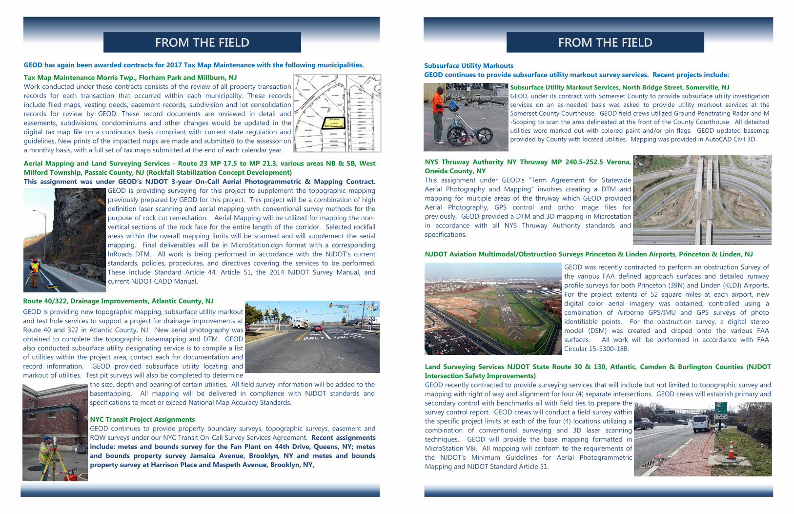
Land Surveying Services NJDOT State Route 30 & 130, Atlantic, Camden & Burlington Counties (NJDOT
Intersection Safety Improvements)
GEOD recently contracted to provide surveying services that will include but not limited to topographic survey and
mapping with right of way and alignment for four (4) separate intersections. GEOD crews will establish primary and
secondary control with benchmarks all with field ties to prepare the
survey control report. GEOD crews will conduct a field survey within
the specific project limits at each of the four (4) locations utilizing a
combination of conventional surveying and 3D laser scanning
techniques. GEOD will provide the base mapping formatted in
MicroStation V8i. All mapping will conform to the requirements of
the NJDOT’s Minimum Guidelines for Aerial Photogrammetric
Mapping and NJDOT Standard Article 51.