Embed Size (px)
Citation preview

MODERN GEO-INFORMATION TECHNOLOGY PLATFORMS FOR INSPIRE IMPLEMENTATION DEYAN BALTADZHIEV, MAPEX JSC

INSPIRE DIRECTIVE
• Metadata for services and data;
• Interoperability for spatial data and services;
• 34 spatial data themes;
• 5 services.

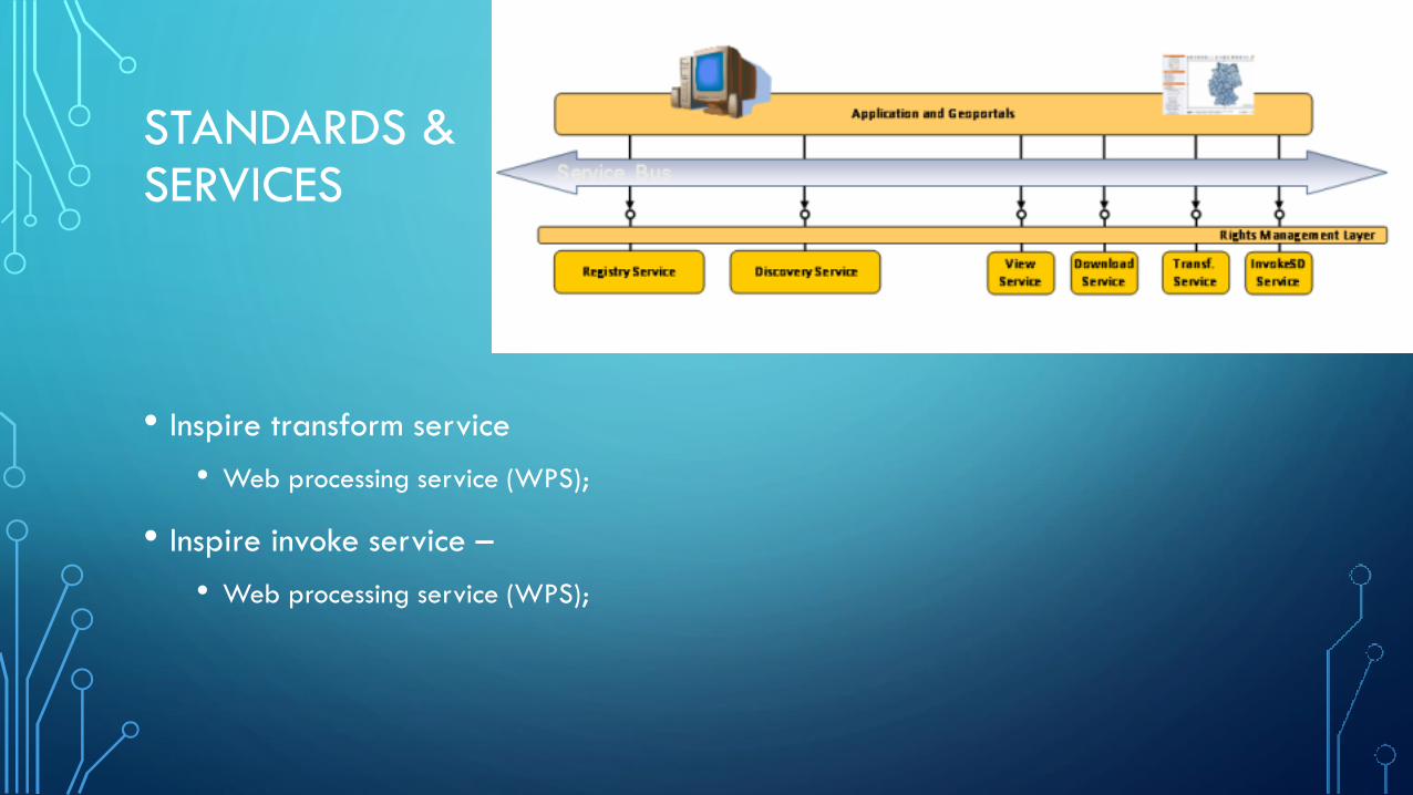
STANDARDS & SERVICES
• Inspire discovery service
• Catalog service for web (CSW);
• Inspire view service
• Web map service (WMS);
• Inspire download service –
• Web feature service (WFS);
• Web coverage services (WCS).
STANDARDS & SERVICES
• Inspire transform service
• Web processing service (WPS);
• Inspire invoke service –
• Web processing service (WPS);

TECHNOLOGIES
• First of all is the Database
• Oracle + Oracle Spatial;
• PostgreSQL + Postgis;
• Microsoft SQL Server;
• MySQL.

TECHNOLOGIES - POSTGRESQL
• Free and open source;
• An enterprise class database;
• Highly customizable;
• Highly scalable;
• Postgis integration.

TECHNOLOGIES
• Second is the server
• GeoServer;
• GeoNetwork;
• MapServer;
• Deegree;
• ArcGIS for Inspire;
• ESRI GeoPortal.
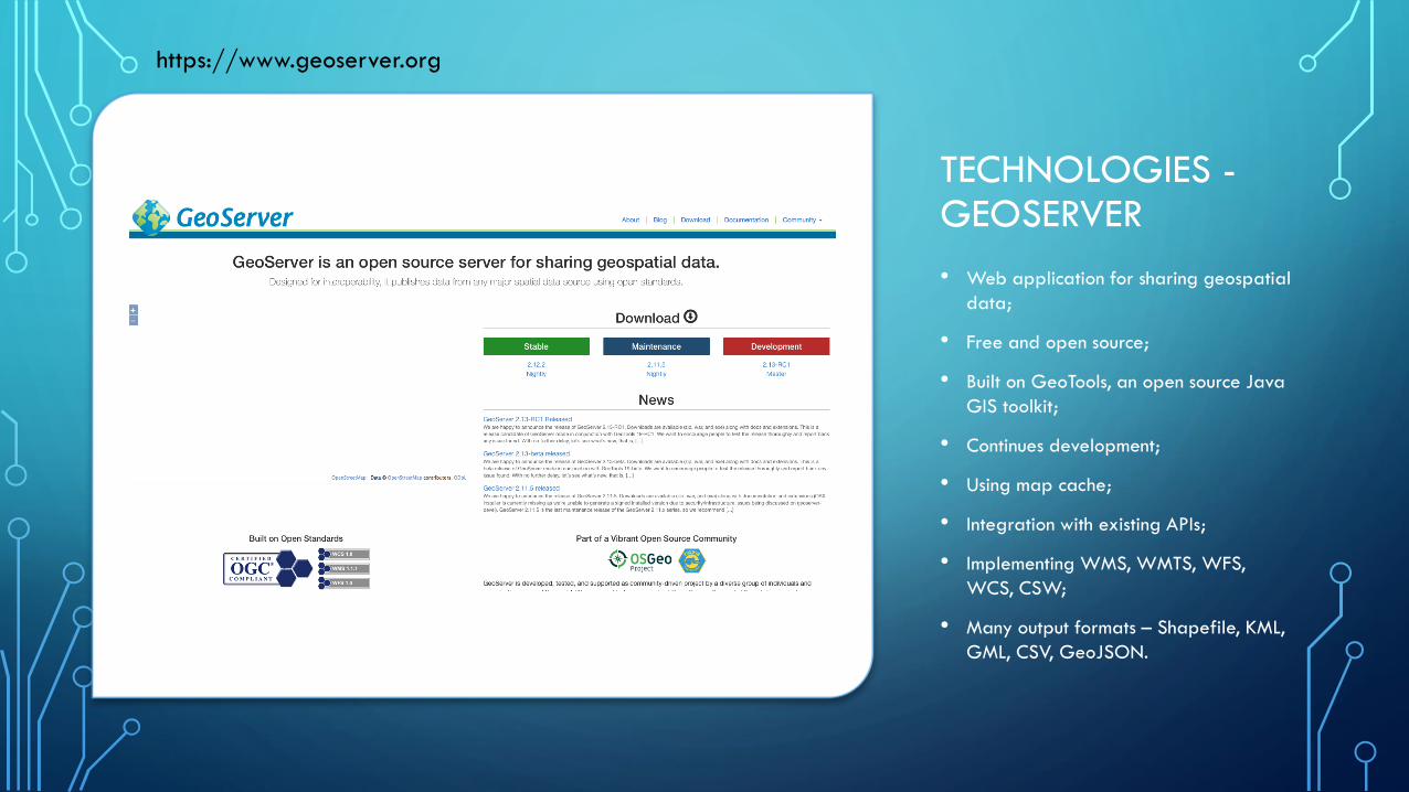
TECHNOLOGIES - GEOSERVER
• Web application for sharing geospatial
data;
• Free and open source;
• Built on GeoTools, an open source Java
GIS toolkit;
• Continues development;
• Using map cache;
• Integration with existing APIs;
• Implementing WMS, WMTS, WFS,
WCS, CSW;
• Many output formats – Shapefile, KML,
GML, CSV, GeoJSON.
https://www.geoserver.org

TECHNOLOGIES - GEONETWORK
• Open source;
• Web application for
management of spatially
referenced resources;
• Publish and describe resources;
• Metadata harvesting from
different sources;
• Implementing CSW.
https://geonetwork-opensource.org

TECHNOLOGIES - MAPSERVER
• Open source;
• Web application for publishing
spatial data;
• Implementing WMS, WFS,
WMTS, WCS;
• Using map cache.
http://mapserver.org

TECHNOLOGIES - DEEGREE
• Open source;
• Web application for publishing
spatial data;
• Implementing WMS, WFS,
WMTS, WPS, CSW;
• Using map cache.
https://www.deegree.org

TECHNOLOGIES – ESRI GEOPORTAL
• Open source;
• Web application for
management of spatially
referenced resources;
• Implementing CSW.
https://www.esri.com/en-us/arcgis/products/geoportal-server/overview
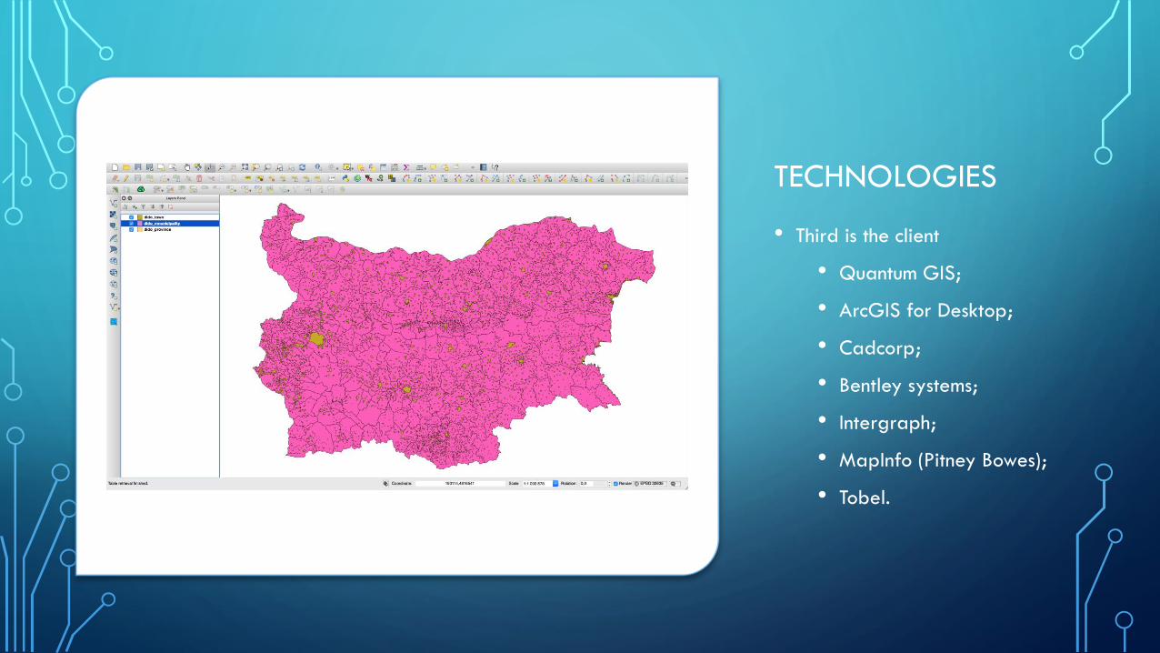
TECHNOLOGIES
• Third is the client
• Quantum GIS;
• ArcGIS for Desktop;
• Cadcorp;
• Bentley systems;
• Intergraph;
• MapInfo (Pitney Bowes);
• Tobel.

EXAMPLES IN BULGARIA
• Data in PostgreSQL;
• GeoServer + extension Inspire;
• Serving view and download
services ;
• The problem was with
metadata and discovery
services.
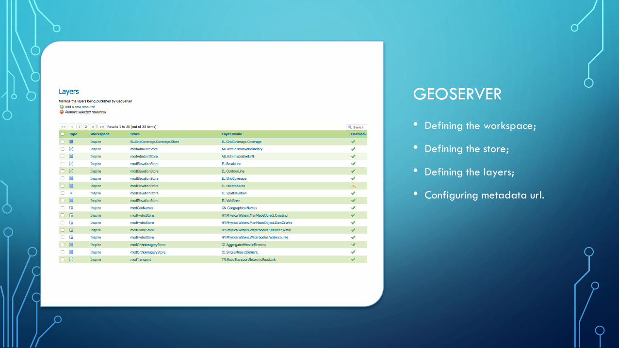
GEOSERVER
• Defining the workspace;
• Defining the store;
• Defining the layers;
• Configuring metadata url.

EXAMPLES IN BULGARIA
• GeoNetwork for the metadata;
• GeoNetwork for the catalog
(CSW);
• GeoNetwork for harvesting;
• GeoServer for Inspire view,
Inspire download services.

EXAMPLES FROM BULGARIA
• GeoNetwork for harvesting;

EXAMPLES FROM BULGARIA
• The result

THANK YOU FOR YOUR TIME
Deyan Baltadzhiev, IT Manager@Mapex JSC