Embed Size (px)
Citation preview
Meteorological Observations and Weather Forecasting
August 27th, 2007
Meteorology
• Not a laboratory science; the most important field observation science
• A Natural Science• Synoptic meteorology- continuously
recorded• Asynoptic meteorology- recording
dependent upon observing platform• Weather forecasting entails predicting how
the present state of the atmosphere will change
Forecasting
• Weather occurs in different layers of the atmosphere
• Data recorded by land-based observation stations, ships, buoys, satellites, and other devices

Surface Weather Devices
• Nephoscope – surface instrument for measuring direction and speed of cloud motion; passive remote sensing
• Psychrometer – temperature
• Hygrometer – humidity
• Instrument shelters
• Anemometers – measure wind speed and direction
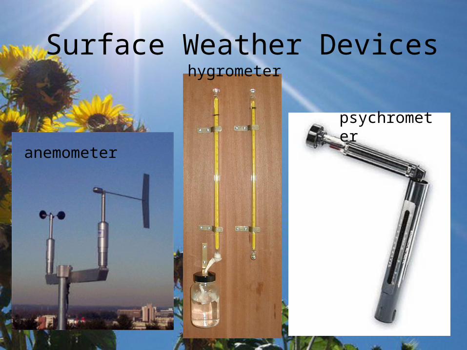
Surface Weather Devices
anemometer
psychrometer
hygrometer
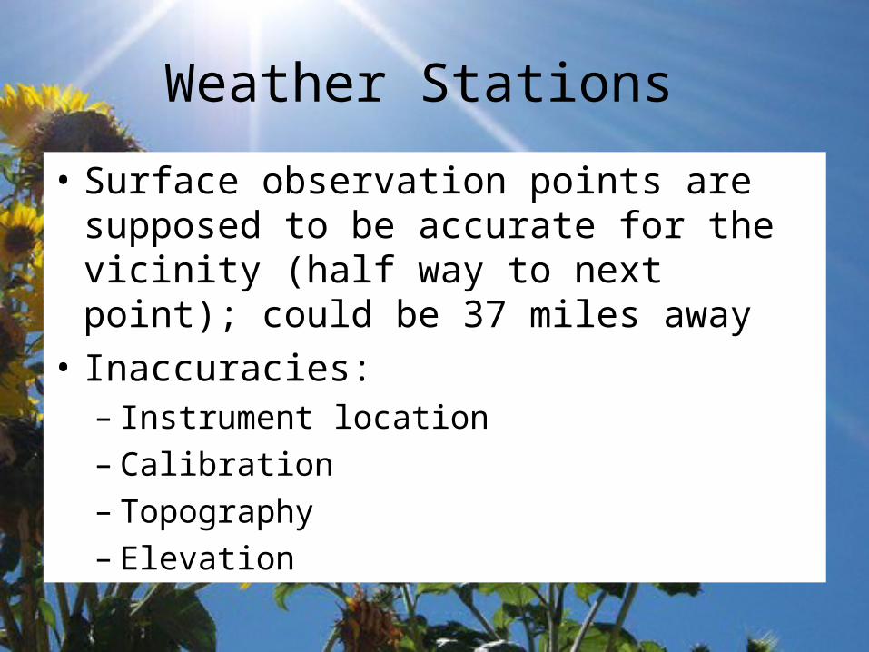
Weather Stations
• Surface observation points are supposed to be accurate for the vicinity (half way to next point); could be 37 miles away
• Inaccuracies: – Instrument location– Calibration– Topography– Elevation

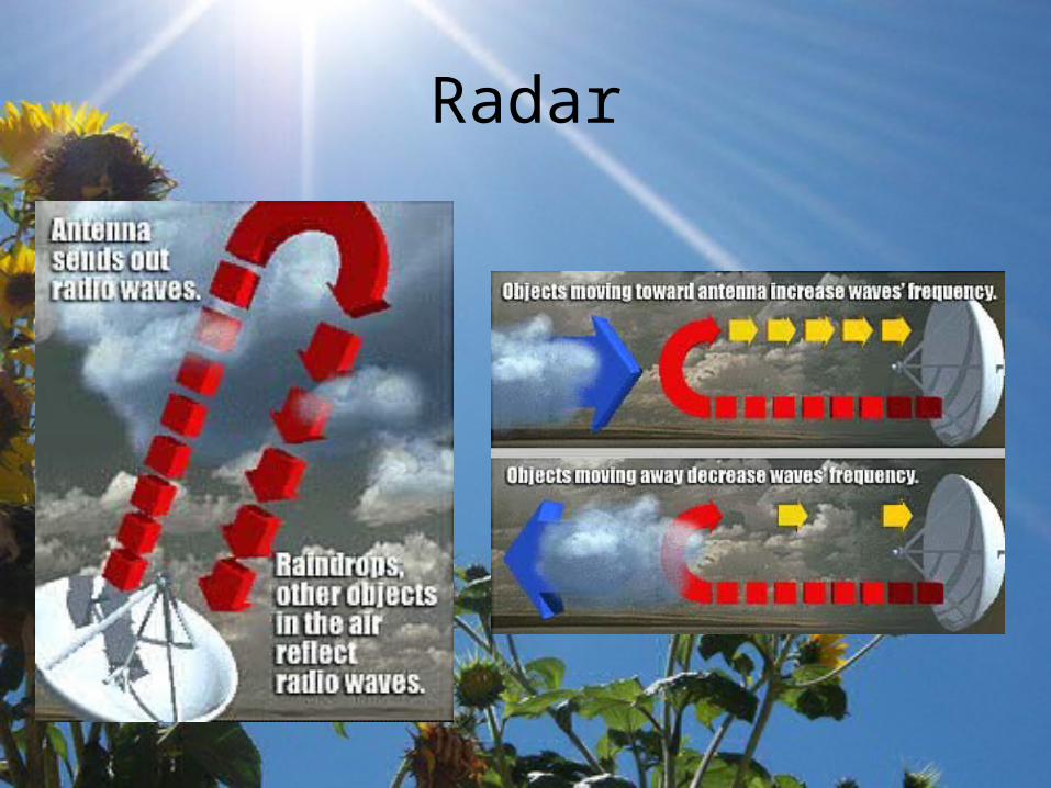
Radar
• Radio Detection and Ranging• Used in meteorology since 1940s• Rain drops scatter radio waves very well• Cloud particles and ice doesn’t scatter well• Doppler Radar – senses frequency shifts
in reflected radio waves– Gives information on velocity, location, and
intensity of storm – Shows rotation– Can also detect insects, dust, and eddies
Radar

Doppler Radar
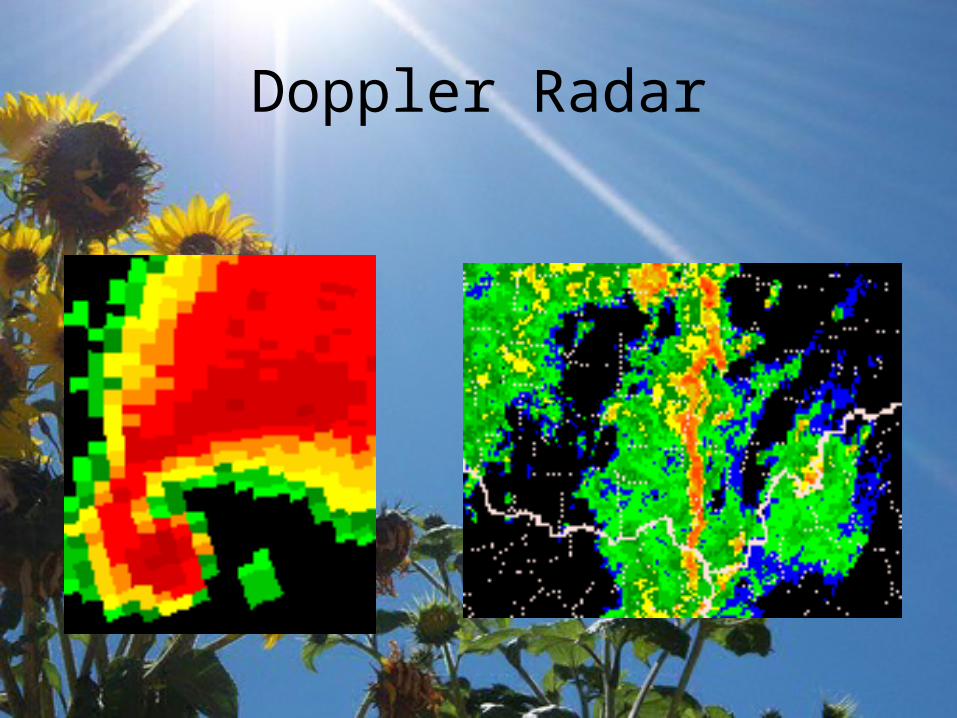
Doppler Radar
Lightning Detection
• Causes disturbance in radio waves – sferics
• All lightning strokes produce bursts, or pulses, of EM energy
• Helps locate thunderstorms
• Triangulation between stations
• Lightning can occur with rainfall– Virga- precipitation that doesn’t reach the
ground
Aerological Observations
• Made in the upper atmosphere by aircraft and balloons
• Radiosonde- reads pressure, temperature, and relative humidity; suspended under weather balloon; can travel to Tropopause– Ground truth satellite data
• Dropsonde- dropped from plane; used over oceans
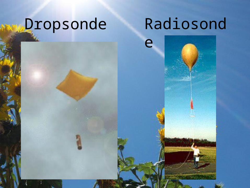
Dropsonde Radiosonde
LIDAR
• Light Detection and Ranging
• Used to measure speed, rotation, distance, and chemical composition of a remote target (cars, smoke plumes, clouds…)
Satellites
• Primary uses– Observing clouds and atmospheric
temperatures– Tropical cyclone development– Earth color and temperature– Movement of fronts
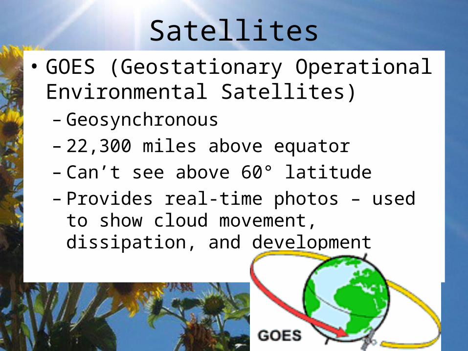
Satellites• GOES (Geostationary Operational
Environmental Satellites)– Geosynchronous– 22,300 miles above equator– Can’t see above 60° latitude– Provides real-time photos – used to show
cloud movement, dissipation, and development
Satellites
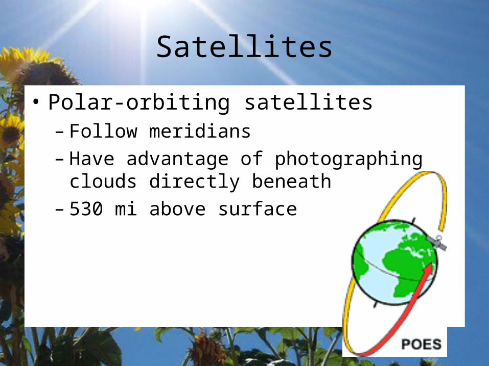
• Polar-orbiting satellites– Follow meridians– Have advantage of photographing clouds
directly beneath satellite– 530 mi above surface
Satellites
• Operate in 4 spectral regions:
• Visible- passive remote sensing; clouds reflect sunlight
• Infrared- gives temperature of radiating bodies; information about cloud-top temperature
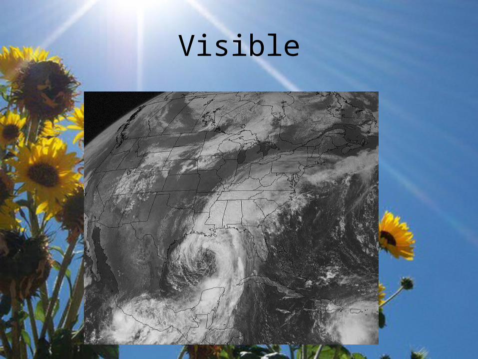
Visible
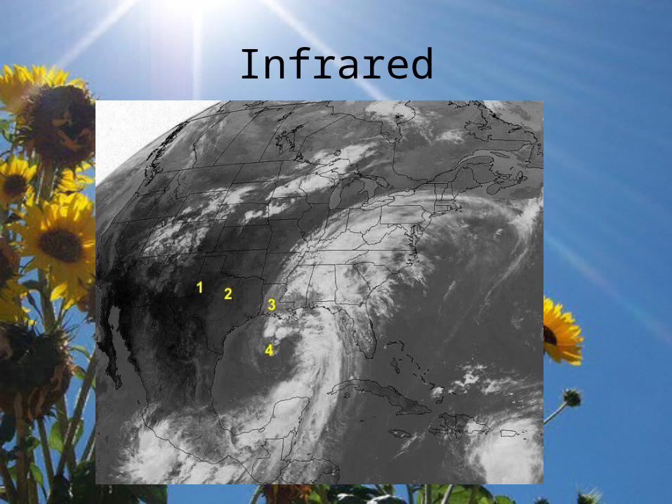
Infrared
Satellites
• Water Vapor – distinguish between dry and humid air masses
• Microwaves – absorbed and emitted by rain drops– Visible through clouds– Rain appears warm and ocean surface
appears cold– All objects emit radar – noise!
Satellites
• Radiometers– Used by satellites to observe clouds day and
night by detecting radiation from cloud tops– Thick clouds have higher reflectivity than thin
clouds
National Weather Service• Watch – atmospheric conditions favor
hazardous weather occurring for a specified region during a specified time period
• Warning – hazardous weather either imminent or actually occurring with in forecast are
• Advisories – for less hazardous conditions – wind, dust, fog, snow, sleet, and freezing rain
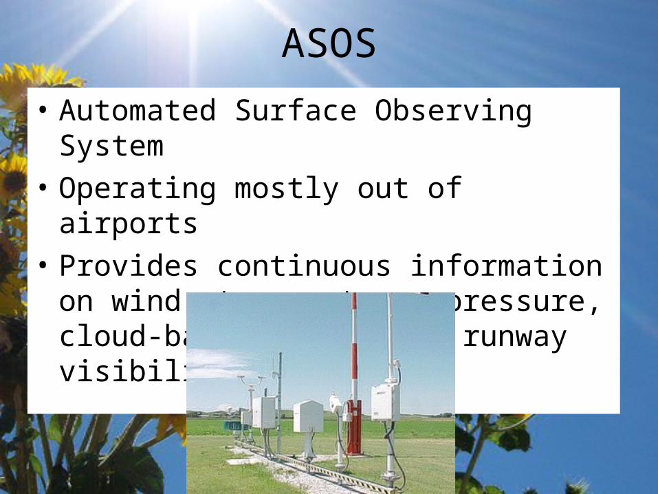
ASOS
• Automated Surface Observing System
• Operating mostly out of airports
• Provides continuous information on wind, temperature, pressure, cloud-base height, and runway visibility
AWIPS
• Advanced Weather Interactive Processing System
• High speed data modeling system
• Layers of maps and weather data, including satellites, Doppler radar, and ASOS
• Daily predictions over grid with spacing as low as 1.2 miles between points
Soundings• Two-dimensional profile of temperature,
dew-point, and winds
• Good for short-range forecasts
• Used in fog, air pollution, and wind advisories

Soundings
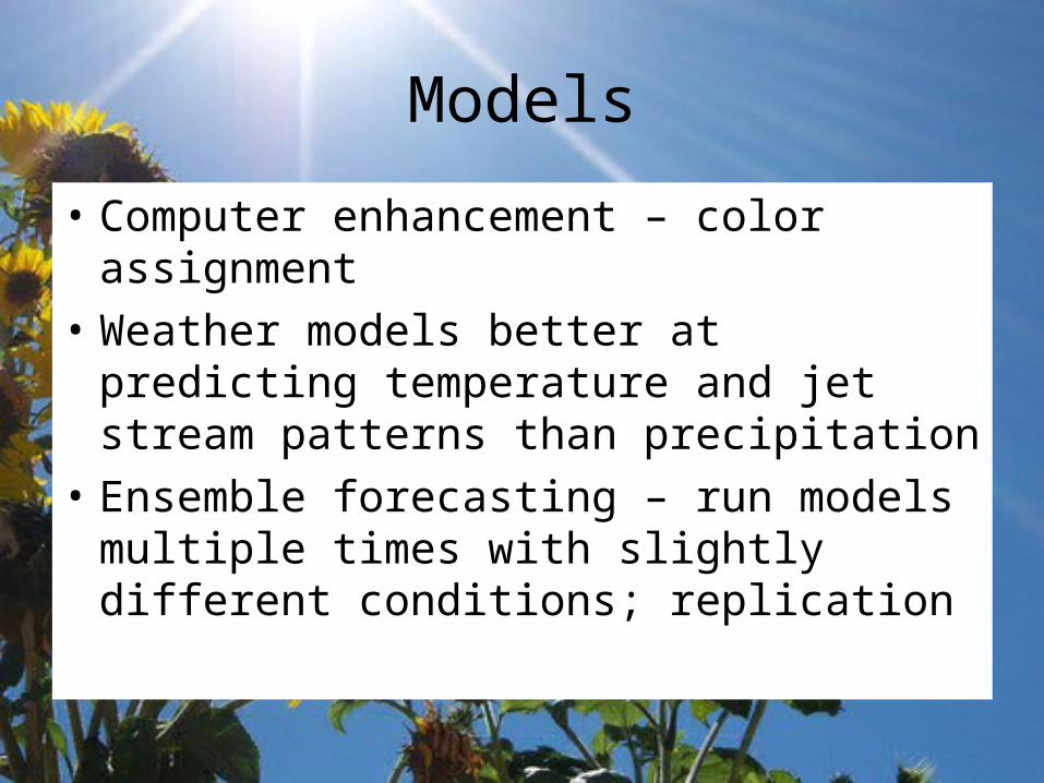
Models
• Computer enhancement – color assignment
• Weather models better at predicting temperature and jet stream patterns than precipitation
• Ensemble forecasting – run models multiple times with slightly different conditions; replication
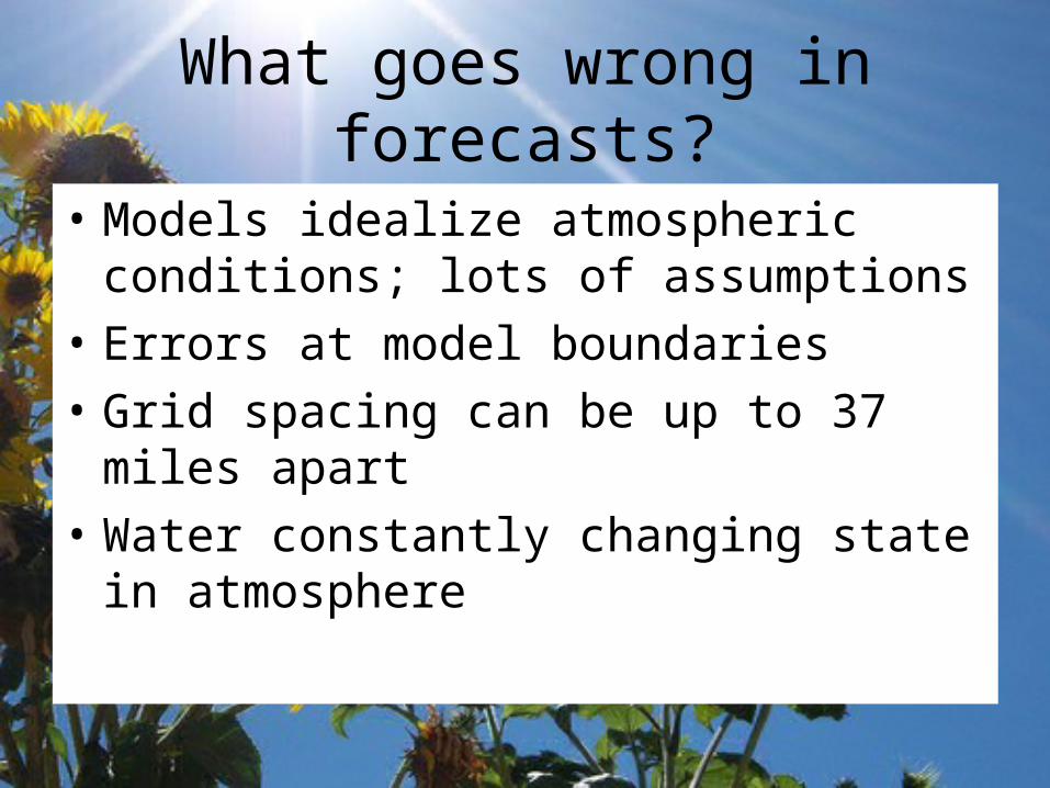
What goes wrong in forecasts?
• Models idealize atmospheric conditions; lots of assumptions
• Errors at model boundaries
• Grid spacing can be up to 37 miles apart
• Water constantly changing state in atmosphere
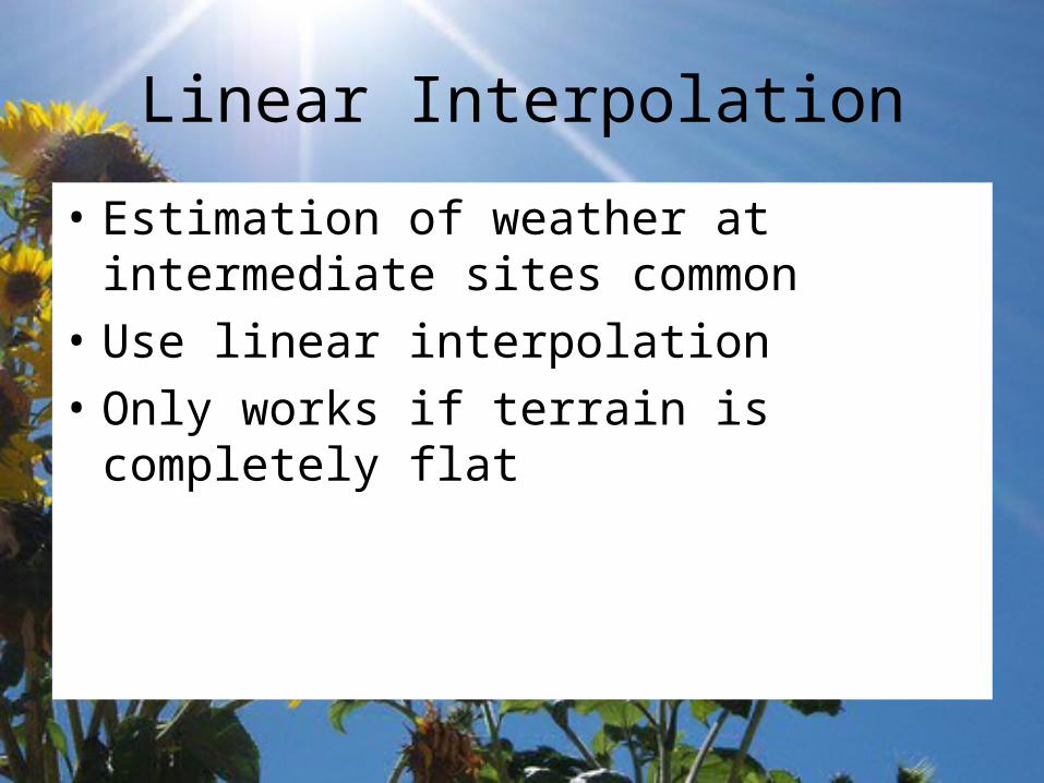
Linear Interpolation
• Estimation of weather at intermediate sites common
• Use linear interpolation
• Only works if terrain is completely flat
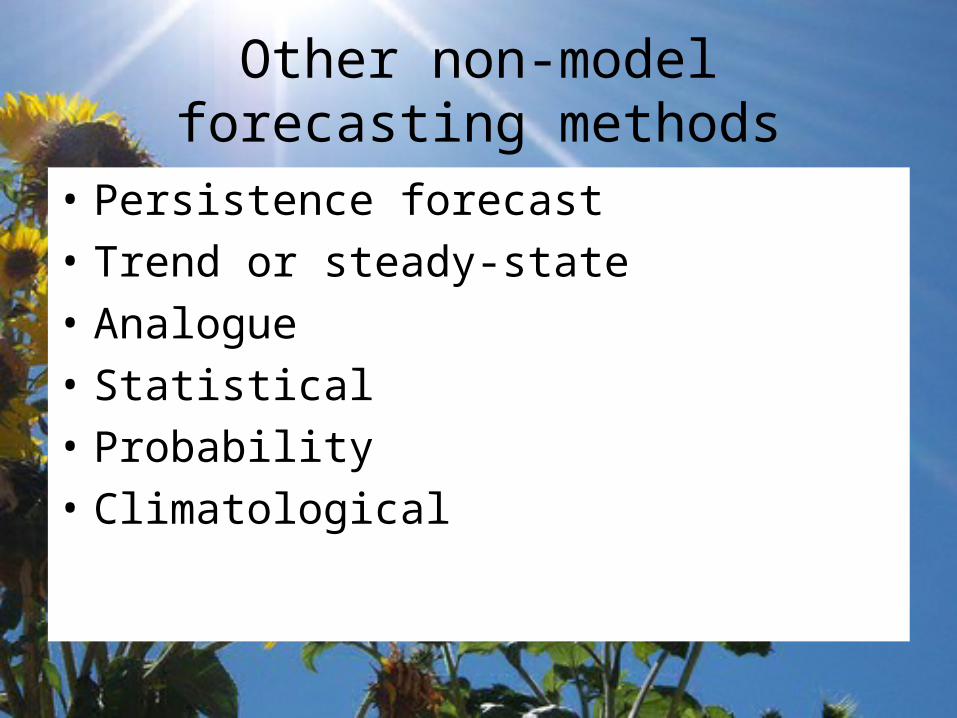
Other non-model forecasting methods
• Persistence forecast
• Trend or steady-state
• Analogue
• Statistical
• Probability
• Climatological
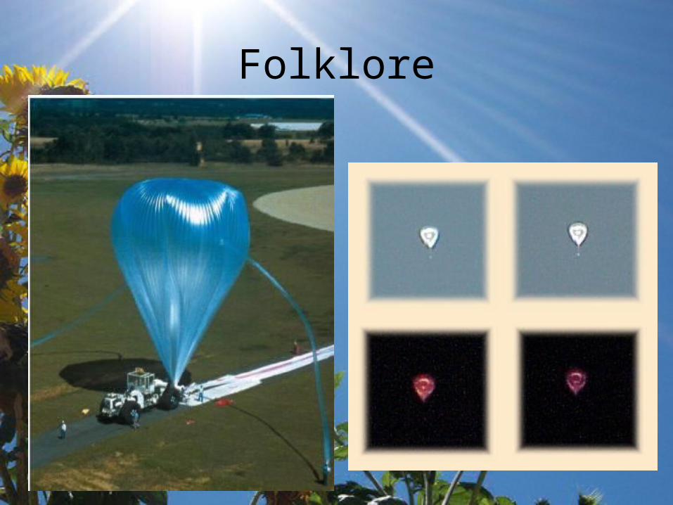
Folklore
• Silver-side out– Midwestern oak leaves turn before a storm so
that the underside faces into the wind– Increases in specific humidity cause leaves to
become heavy and rotate out
• Birds roost before a storm– So do planes
Folklore