Embed Size (px)
Citation preview

2/15/2015
1
Landscape Ecologist
International Center for Agricultural Research in the Dry AreasScience for better livelihoods in dry areas
Mounir Louhaichi, PhD, GISP
Biradar Chandrashekhar (ICARDA
Douglas E. Johnson (OSU)
Outline
Geo-informatics
Input
Output
• Introduction
� CactusNet
• Geo-informatics
� GIS, RS, GPS
• Illustrations of few examples
� GPS: Mapping
� GIS: Suitability (modeling)
� RS: VegMeasure, Lidar
http://www.cactusnetwork.org/home.html
Cactus as a sustainable and versatile plant
for the dry areas
http://icarda.org/drylandsthinking/Cactus-
sustainable-and-versatile-plant-dry-areas
Phyto-sanitary Certificate
Exchange of Germplasm
Legal channel

2/15/2015
2
Introduction of cactus accessions from Italy and Brazil
ITALYTotal number of accessions: 15
Number of Pads/accession: 6
BRAZILTotal number of accessions: 25
Number of Pads/accession: 5
India and Pakistan
Jordan, India,
Pakistan and Italy
2014
Assessing adaptability and utilization potential of Opuntia ficus-
indica in arid and semi-arid regions of India
IGFRI in Jhansi
India
India
CAZRI was our partner from India• CAZRI was our partner from India
• Rajasthan state: High temperature
Respect agro-ecological characteristics for optimum growth Respect agro-ecological characteristics for optimum growth
Put right plant in the right place
• Identification of suitable cactus material for
a specific location/objective
• Multiplication of material at local level
(mother cladodes)
• Establishment of Cactus Growers’
Cooperative/Association similar to orchard
growers’ cooperative
Out-scaling strategy
Enhancing the use of cactus (Opuntia ficus indica) to promote
better livelihoods in arid areas of Pakistan
PakistanFarmer’s day on the introduction of spineless
cactus was held on 15th May, 2014
Pakistan

2/15/2015
3
Country of
OriginNo
Italy 46
Brazil 25
Tunisia 24
Mexico 13
Algeria 9
Morocco 6
New Mexico 6
Argentina 4
Others 18
Total 151
Enhancing the use of cactus (Opuntia focus indica) to promote better
livelihoods of pastoral and agro-pastoral communities in arid areas of West
Asia
Cactus accessions were introduced from to Jordan
Establishment of cactus gene field bank with more
than 150 accessions
ICARDA and Cactus-Net
Visit of Prof. Paolo to Jordan
The Influence of soil volume (Root
Confinement) on root and canopy growth, root
turnover and canopy versus root ratio of
Opuntia ficus-indica
The influence of planting
methods of Opuntia ficus-
indica on root and canopy
growth, root turnover and
canopy – root ratio
PhD Student Sawsan Hassan MSc. Student Meriam Nefzaoui
Comparative study of genetic variability of cactus
accessions from North East Brazil and the
Mediterranean Basin
Universidade Federal
Rural De Pernambuco
Brazil
• Better understanding of the existing genetic
diversity with the aim to implement a
comprehensive program of selection and to
identify promising accession facilitating their
certification.
• Contribute to a better understanding of the
effectiveness of the different molecular markers
which is considered as a priority step toward
management of cactus pear collection and a
prerequisite for more effective breeding program.
Cactus Pear in West Asia
Market price: 5.25 $/kg
In West Asia cactus
distribution is restricted
primarily by the freezing
events that occur during
winter seasons (Le
Houérou 1996).
NA vs WA
Syria

2/15/2015
4
Frost Damage
Jordan
Study Objectives
• explore genetic resources with potential genes
for adaptation to the adverse effects of
climate change particularly night freezing
temperature during winter season and
• evaluate agronomic practices such as date of
transplantation on cactus establishment and
vigour.
Screening for Cold-Tolerant Cactus Species Hardy plant: come back
0 5 10 15 20 25 30 35
ITA-Trunzara yellow San Cono
TUN-Edjez-ElBab-73952
Syria
ITA-RSS Rossa San sperate
ITA-M1 Gialla di Macomer
ITA-Red San Cono
MEX-VIB FP 2 – 73049
ITA-Trunzara yellow Bronte
TUN-Sbeitla-74071
TUN-DJ-Solah-75012
ITA-Hetapentica – 69233
TUN-THALA-69241
ITA-BB Bianca de Bonacardo
TUN-Ain Amara-69246
ITA-GSH Gialla di sarroch
ITA-Yellow San Cono
ARG-robusta - 1020
ITA-Yellow Belpasso
ALG-V.Lengissima-69220
ITA-Mezzojuso
ITA-Yellow Santa Margherita Belice
ITA-Trunzara red Bronte
TUN-Sbeitla-69242
TUN-Ain-Bouderiess-69245
ITA-RC Rossa di casttelsardo
TUN-DJ. BARGOU-68247
ITA-M3 Bianca di Macomer
ITA-Red Roccapalumba
ARG-robusta - 1120
ITA-White San Cono
ITA-White Roccapalumba
ITA-M2 Rossa di macomer
ITA-Yellow Roccapalumba
TUN-Borj El Farag-69248
ITA-BSS Bianca San Sperate
ARG-ANV1-0860
ITA-Nostrale Femeniana
ALG-Grassa Caref - 6869219
TUN-CARTHA-73058
ALG-Conlea Rubescens, Conlea-L19
Number of pads
First Year 2012 Second Year 2013
Nu
mb
er o
f ne
w p
ad
s pe
r acce
ssion
Evaluation of Cactus germplasm to West Asia
conditions
Less adapted accessions
Well adapted accessions
Season (timing) transplantation
0
4
8
12
16
20
First Year 2012 Second Year 2013
Nu
mb
er
of
pa
ds
Fall Spring

2/15/2015
5
• Cactus is an important forage option to the
drylands.
• Key for sucessful establishement is to fit the
right accession into the right agro-ecological
environment.
• Thus assessing adaptation of cactus accessions
across a wide range of climates and agro-
ecosystems is needed
Screening for Cold-Tolerant Cactus Species Factsheets
CG
IAR
Talkin
g S
cien
ce
http://dialogues.cgiar.org/blog/how-much-cactus-is-in-your-lipstick/
Agro-forestry
(Alley cropping)Bio-fencing
nasa.gov
SOLUTION: Geo-informatics
LANDSAT 5: PASSIVE OPTICAL System

2/15/2015
6
Multispectral
Hyperspectral
Thermal
Microwave
• Increased spatial, spectral and temporal resolutions
• Increased computational efficiency and speed
• Decreased hardware and software cost
• Decreased RS data cost
Geoinformatics in 21st Century
Satellite Resolution(m) Pixels/ac Pixels/ha $/km2
AVHRR 1000 0.004 0.01 Free
MODIS 500 0.016 0.04 Free
Landsat 30 4.5 11.1 Free
PALSAR 10 40 100 Free
NAIP-AP* 1 4046 10000 Free
AWiFS 60 1.11 2.7 0.01
IRS liss3 23.5 7.3 18.1 0.15
ASTER 15 18 44.4 0.04
IRS Liss4 5 160 400 1.19
RapidEye 5 160 400 1.23
IKONOS 4 253 625 5.02
Cartosat1 2.5 640 1600 6.59
GeoEye1 2 1012 2500 12.5
WorldView2 2 1012 2500 14.5
Spatial Resolution: Global to Local Scale
Lan
dsa
t C
on
tin
uit
y M
issi
on
: La
nd
sat
8,
Feb
11
, 2
01
3
Remote Sensing of Agro-Ecosystems
Example of One Sensor in each PlatformInnovation Systems
Integrated Earth Observation System
GEOGRAPHICAL INFORMATION
SYSTEMS
GIS
Source: Longley et al (2005) Geographic Information Systems and Science. 2nd Edition. John Wiley and Sons Ltd.
“GIS is a collection of computer hardware, software, and
geographic data for capturing, managing, analyzing, and
displaying all forms of geographically referenced
information.”
GIS

2/15/2015
7
Example # 1
GIS
Opuntia ficus-indica (L.) Mill. Suitability
Mapping Utilizing the Refined KRESS
Habitat Suitability Analysis Module
GIS
Model: KRESS
• The model uses climatic, elevation, and other variables in a raster GIS format along with the positions of known plantations of Cactus (or any other plant) to define the environmental or niche tolerance of the plant.
• The niche tolerance of the plant is then applied to the area of interest to determine which sites most closely resemble the conditions under which Cactus thrives.
• The result is a theoretical suitability map for the area of interest (target).
R Programming
Modeling Process
Map
Generation
Modeling
Process
Occurrences
GPS data
Climate
Soil characterization
DEM, slope, aspect
Suitability
Map
Literature Reviews
Cactus Plantation Position Data
• Plant Occurrence Data is entered into the program as
Simple ASCII Comma Separated Values (CSV) file where the
position of each known stand of Cactus (or other plant) is
Identified.
• Data files can be made in MS Excel and saved as a CSV File
Longitude Latitude Sequence Species
10.09633 35.6781 1 Opuntia ficus-indica (L.) Mill.
9.1294 35.2297 2 Opuntia ficus-indica (L.) Mill.
9.5 35.0333 3 Opuntia ficus-indica (L.) Mill.
9.2058 35.8606 4 Opuntia ficus-indica (L.) Mill.
9.9 36.3667 5 Opuntia ficus-indica (L.) Mill.
10.15 36.4 6 Opuntia ficus-indica (L.) Mill.
8.8333 35.1667 7 Opuntia ficus-indica (L.) Mill.
10.0167 35.9333 8 Opuntia ficus-indica (L.) Mill.
9.37082 36.08497 8 Opuntia ficus-indica (L.) Mill.
WorldClim http://www.worldclim.org/

2/15/2015
8
Modeling Process
• The Map Statistics Tool displays spatial
parameters and statistics for any
uploaded environmental variable.
• The data is processed into a frequency
histogram stretched into 256 bins for
comparison to other variables.
• A weight can be assigned to each
variable depending on the role it plays in
the plant’s survival.
A Screen Capture of the Map Statistics Tool
Frequency Map for the Parameter in Question
Maximum Temperature
Each Factor is Weighted Based on its Importance
Each Factor is
Weighted
based on its
Influence on
the Plants
Distribution
Precipitation
Precipitation
Area of Interest can be Masked
A Mask can
be added
from the
Data
Directory
Click the Check Box to apply the Mask
Mean Temperature
Map Statistics
Map Statistics are Identified here
Precipitation
Map Algebra issued to Generate a Suitability
Model

2/15/2015
9
Example # 2
Spread of Cochineal in Southern Lebanon
Spread of Cochineal in Southern Lebanon Spread of Cochineal in Southern Lebanon
Spread of Cochineal in Southern Lebanon
GIS spatial analysis
Buffer
Source: Panagiotis Nastos et al., 2011
Example # 3
2/15/2015
10
State Opuntioid Cacti Management Plan
State distribution of Opuntioid cacti
GPS locations: occurrence of
Opuntia species
Source: Government of Southern Australia. State Opuntioid Cacti Management Plan (2009)
Impact of climate
change
on the spread of
Opuntia robusta
in Southern Australia
based on climate
scenario
Risk Assessment (Australia)
Source: Government of Southern Australia. State Opuntioid Cacti Management Plan (2009)
Source: Government of Southern Australia. State Opuntioid Cacti Management Plan (2009)
Impact of climate change
On the spread of Opuntia robusta
In Southern Australia
Risk Assessment
The potential distribution of Opuntiastricta in grazing lands of the southernagricultural region of South Australia
was modelled with availableinformation in 2005.These maps were produced byoverlaying the results of a „CLIMATE‟
modelling analysis while removingareas poor drained soils.
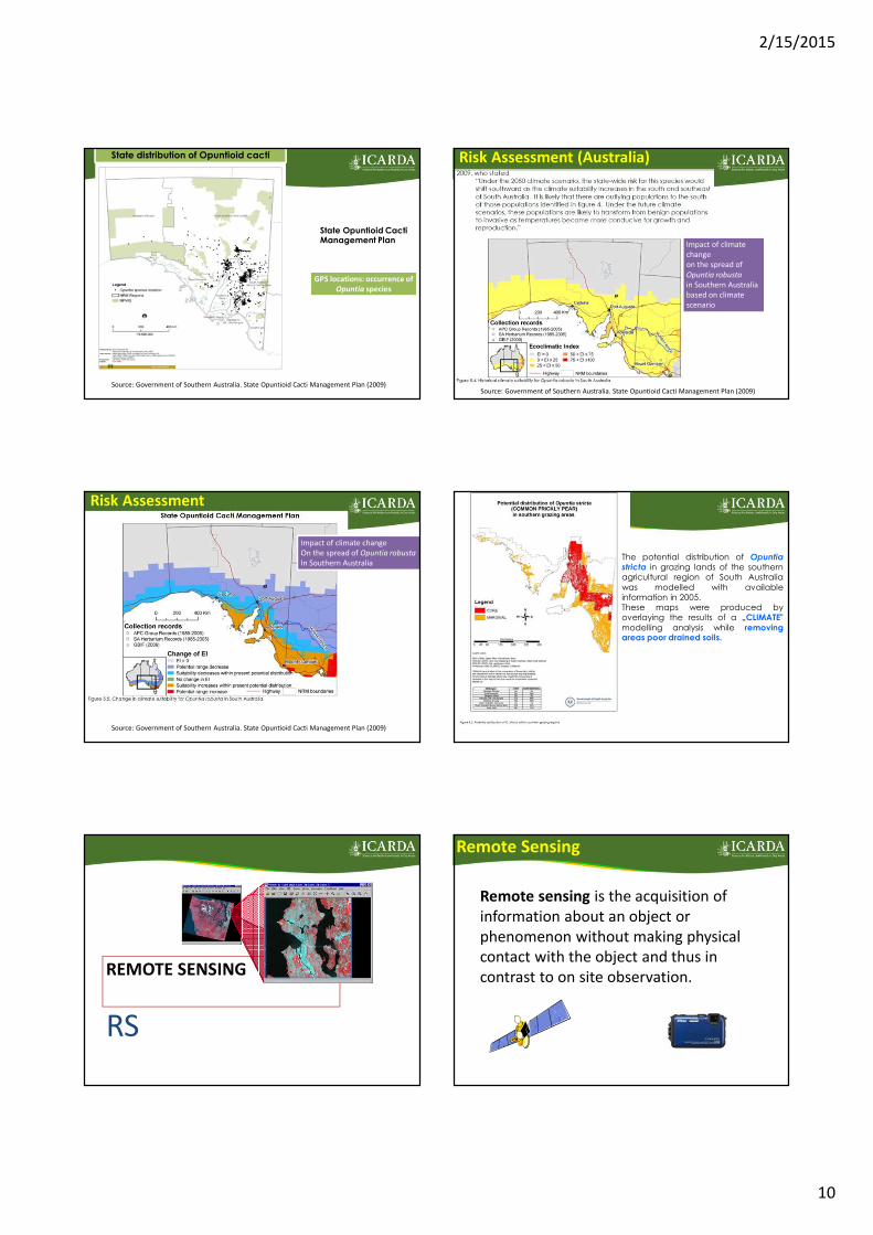
REMOTE SENSING
RS
Remote Sensing
Remote sensing is the acquisition of
information about an object or
phenomenon without making physical
contact with the object and thus in
contrast to on site observation.

2/15/2015
11
Exp: MODIS Based Grassland Classification
Geerken et al, 2006
Forage Quality
Exp: Grassland types in the Tibetan Plateau, China
Grassland types of Tibetan Plateau including
Alpine steppe and Alpine meadow.
Acquisition RS data (timing)
• Cactus is an evergreen plant when compared
to others species it can be distinguished
(spectral reflectance).
• Large plantations can be mapped even from
google earth (free)
VegMeasureComputer-Assisted Vegetation Monitoring
Digital Photography
with built in GPS
Hardware
Software
Image Processing
Image Positioning Tool
Digital Vegetation Charting Measure surface area, length, width

2/15/2015
12
# # # # # # # # # # # # #
#
###
#
###
##
# # # # #
##
##
##
# #
#
#
#
###
#
#
##
#
#
###
Perennial grasses
layer
<5 cm
8 – 13
> 20
(Unit cm)Ge
o-d
ata
ba
se
• Vast areas can be mapped quickly and objectively.
• Users do not have to be remote sensing specialists or GIS experts.
• For each agro-ecological site (same plant community) only few images are
used to calibrate the software (threshold or training sites). Then the
software can analyze hundred of pictures in just few minutes, summarize
data and save it as a CSV format.
• Document the effects of year-to-year variation in weather
on vegetation dynamics
• Characterization of key indigenous species-Extract environmental variables and model (predict)
where identified species may grow
GIS Layers – Spatial analysis
• Crowdsourcing is the practice of obtaining needed services,
ideas, or content by soliciting contributions from a large group
of people, and especially from an online community, rather
than from traditional employees or suppliers
Record location,
values, photos, etc.
Real-time Disease/Pest
surveillance, early
warning, mitigation,…
Analyze, extrapolate,
map, publish , …
VegMeasure Mobile
Early Warning System Framework
Individual Site Analysis
PHYGROW
Model
Servers
Geostatistical
And Forecast
AnalysisNDVI Imagery
Regional Forage
Maps
Min Temperature
Max Temperature
Rainfall
Site Data
Climate Data
Source: Dr Jay Angerer (Texas A&M)
Lidar: Light Detection And Ranging
Light detection and ranging (LiDAR) is
powerful remote sensing technology for
quantifying the structure and dynamics of
trees/shrubs (cactus) at large spatial.
A laser that measures distance by zapping
a surface with light and grabbing its
reflection up to 500,000 times a second;
an imaging spectrometer, which can scope
out the chemical composition of leaves;
and a zoom lens to identify individual
leaves’ shape and orientation. Lidar-based measurement of individual tree height within a Ponderosa pine stand, FortLewis Military Reservation, WA (source USGS)
Airborne System
LIDAR: LIGHT DETECTION AND RANGING
Terrestrial Laser Scans (TLS) Airborne Laser Scans (ALS)
Point Intercept Methods for
Vegetation & Topography

2/15/2015
13
Allometry (a scaling function)
• Allometry is all about studying the relative sizes of plant
parts. Usually, relationships between dbh (diameter at breast
height), tree height, total biomass, etc., are calculated.
Take home messages
With the recent advances in geo-informatics a lot of opportunities
• Mapping surface area
– Large plantation (surface area: ha) RS
– Fencing (linear: km) GPS
• Time change analysis (RS)
• Risk assessment (predict where species may invade)
• Suitability for outscaling cactus
• Value chain (cactus plots, access to market,etc)
Acknowledgements
• UFS South Africa
• Cactus pear team
• FAO
• Government of Mexico
• Cactus Net scientists
Mounir LouhaichiLandscape Ecologist