Embed Size (px)
Citation preview
Avalanche Peak to Crow HutArthur's Pass National Park
Published by: Department of Conservation Rangiora OfficePO Box 349, Rangiora 7440New Zealand August 2015
Editing and design: Publishing Team, DOC National Office
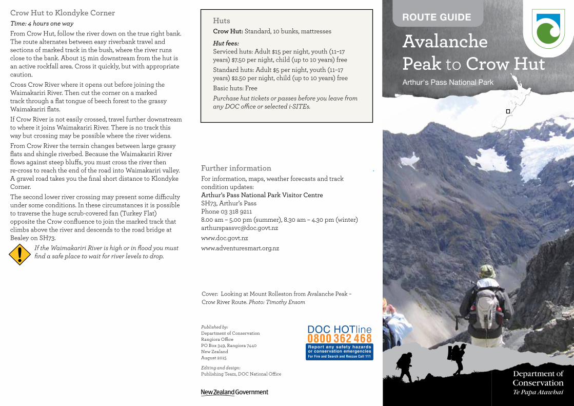
ROUTE GUIDECrow Hut to Klondyke CornerTime: 4 hours one wayFrom Crow Hut, follow the river down on the true right bank. The route alternates between easy riverbank travel and sections of marked track in the bush, where the river runs close to the bank. About 15 min downstream from the hut is an active rockfall area. Cross it quickly, but with appropriate caution.Cross Crow River where it opens out before joining the Waimakariri River. Then cut the corner on a marked track through a flat tongue of beech forest to the grassy Waimakariri flats.If Crow River is not easily crossed, travel further downstream to where it joins Waimakariri River. There is no track this way but crossing may be possible where the river widens.From Crow River the terrain changes between large grassy flats and shingle riverbed. Because the Waimakariri River flows against steep bluffs, you must cross the river then re-cross to reach the end of the road into Waimakariri valley. A gravel road takes you the final short distance to Klondyke Corner. The second lower river crossing may present some difficulty under some conditions. In these circumstances it is possible to traverse the huge scrub-covered fan (Turkey Flat) opposite the Crow confluence to join the marked track that climbs above the river and descends to the road bridge at Bealey on SH73.
If the Waimakariri River is high or in flood you must find a safe place to wait for river levels to drop.
Further informationFor information, maps, weather forecasts and track condition updates:Arthur’s Pass National Park Visitor CentreSH73, Arthur’s PassPhone 03 318 92118.00 am – 5.00 pm (summer), 8.30 am – 4.30 pm (winter)[email protected] www.doc.govt.nzwww.adventuresmart.org.nz
HutsCrow Hut: Standard, 10 bunks, mattresses
Hut fees: Serviced huts: Adult $15 per night, youth (11–17 years) $7.50 per night, child (up to 10 years) freeStandard huts: Adult $5 per night, youth (11–17 years) $2.50 per night, child (up to 10 years) freeBasic huts: FreePurchase hut tickets or passes before you leave from any DOC office or selected i-SITEs.
!
Cover: Looking at Mount Rolleston from Avalanche Peak – Crow River Route. Photo: Timothy Ensom
SummaryTime: 2 days (shuttle required)Grade: Unmarked routeExperience: Suitable for people with high level backcountry (remote areas) skills and experience. Navigation and survival skills as well as complete self-sufficiency required.Best season: Mid summer to late autumnRequired map(s): NZTopo50: Otira BV20 Hazards: Flooded rivers, rockfall, avalanche and areas of steep ice, changeable weatherNote: True left and true right refer to the side of the valley or river when facing and looking downstream.Safety: This route guide must be read in conjunction with Tramping in Arthur’s Pass National Park, a free brochure with important safety information, and New Zealand’s Outdoor Safety Code. Tell someone your plans and leave a time to raise the alarm if you haven't returned. Before setting out, check the latest track conditions and avalanche advisory with the Arthur’s Pass Visitor Centre.
Your safety is your responsibility. Before you go, know the Outdoor Safety Code – 5 simple rules to help you stay safe:1. Plan your trip properly – Ensure that you have a
capable leader.2. Tell someone – Leave your trip details with a
trusted contact and at www.adventuresmart.org.nz.3. Check the weather – Including www.avalanche.
net.nz and the latest information on hazards and facilities before you start.
4. Know your limits – Physical fitness and good equipment will make all the difference.
5. Take sufficient supplies – Carry a sleeping bag, cooking utensils, sufficient food, raincoat, overtrousers, gloves, hat, and several layers of warm clothes.
A challenging 2-day route This route makes a good weekend trip, all against a backdrop of some of the best features of Arthur’s Pass National Park – glaciers, mountain peaks and ice-fed rivers. Crow Hut is at the bush edge in an alpine meadow.This route is extremely steep in places and exposed to the
peak to a saddle between Avalanche Peak and the main Rolleston ridge. From the saddle, sidle on the eastern (village) side of the ridge, down to the main ridge towards Mount Rolleston. Continue along this ridge for about 30 minutes until you reach a marked point indicating the descent point into the Crow valley.
If you are doing this trip in reverse do not be tempted to drop into the upper basins of McGrath Creek to avoid climbing over Avalanche Peak. The basins end in bluffs (rounded cliffs) so are not a short cut.
Scree slope to Crow HutTime: 1 hour 30 minutesThe route leaves the ridge and a scree slope takes you all the way to the Crow River.
It is vital to find the right descent into Crow River. Do not attempt to descend to Crow River before the marked point because earlier screes finish in bluffs.
There are four features to check that you are at the right place:1. The point is marked by stakes and a rock cairn2. You can see the full length of the scree, from the ridge
to the Crow valley3. The full drop of Devils Punchbowl Falls is visible on
opposite slopes4. Just after the correct place to descend, the ridge you
are on rises more steeply towards Mount RollestonThis scree provides a good, bluff-free descent, but is avalanche prone in heavy snow. Take care not to dislodge loose rock onto people below you. Beware of rockfall.
Towards the bottom this long scree narrows before fanning out. From here you can see Crow Hut on the true right bank of Crow River. Follow the riverbed downstream for 20 minutes to the hut. If the river is high, look for a crossing as far above the hut as possible. The 10-bunk hut stands in a clearing on a terrace at the bush edge. The Crow face of Rolleston at the head of the valley is a popular winter climbing route.The name Crow was inspired by the sighting of a South Island kōkako (orange-wattled crow) during an 1865 exploration of the area. Last seen in the park in the 1930s, this bird is probably extinct.
weather. The route is not continuously marked so you need to be able to find your own way. Do not attempt the route in poor visibility or high winds. In winter and spring (July to November) the route over Avalanche Peak is avalanche prone. Do not to travel this route during heavy snow conditions. From Crow Hut to Klondyke Corner on SH73 is a 4-hour tramp following the Crow and Waimakariri rivers.
Getting thereThe trip starts from Arthur's Pass village on SH73, 150 km from Christchurch. It finishes at Klondyke Corner 8 km south of Arthur’s Pass village. You can leave a car here, or catch a shuttle bus. There are also two bus shuttle services between Christchurch and Hokitika. Atomic Shuttles runs from Christchurch to Hokitika and back each day, while West Coast Shuttles does a return trip between Hokitika and Christchurch every day. www.atomictravel.co.nzwww.westcoastshuttle.co.nz
ARTHuR’S PASS VillAGE To CRow HuT
Arthur’s Pass village to Avalanche PeakTime: 3–4 hours one wayRefer to the route guide for Avalanche Peak.Two tracks head to Avalanche Peak: Avalanche Peak Track is steeper and more direct; Scotts Track climbs more gradually, has better views, and is easier on the knees. Both tracks are marked to the summit.
Avalanche Peak to Crow HutTime: 2–3 hours one way
Avalanche Peak summit to scree slopeTime: 1 hour The ridge line from Avalanche Peak summit is narrow and rocky so the unmarked route often sidles below the ridge. The route to the main ridge behind Avalanche Peak starts in the opposite direction from that you would expect. From the summit, drop down the south side of Avalanche Peak onto the top of a shingle scree. Note: As you walk up from the village, south is on your left; the large glaciated peak, Mount Rolleston, is to the north.From the shingle scree, head north-west under the main
!
!