Embed Size (px)
Citation preview

CIM, ROADS & GIS –The Perfect Triangle
Jared Causseaux
FDOT GIS Coordinator
Florida Department of Transportation

CIM
ROADS
GIS
FDOT Reorganization
GIS in FDOT
What’s next?
Questions?

The FHWA has endorsed and defined a new concept:
Civil Integrated Management
The collection, organization, and managed access to accurate data and information throughout the life cycle of a transportation asset using enabling technologies
Enabling technology - invention or innovation that can be applied to drive radical change in the capabilities of a user or culture
https://en.wikipedia.org/wiki/Enabling_technology
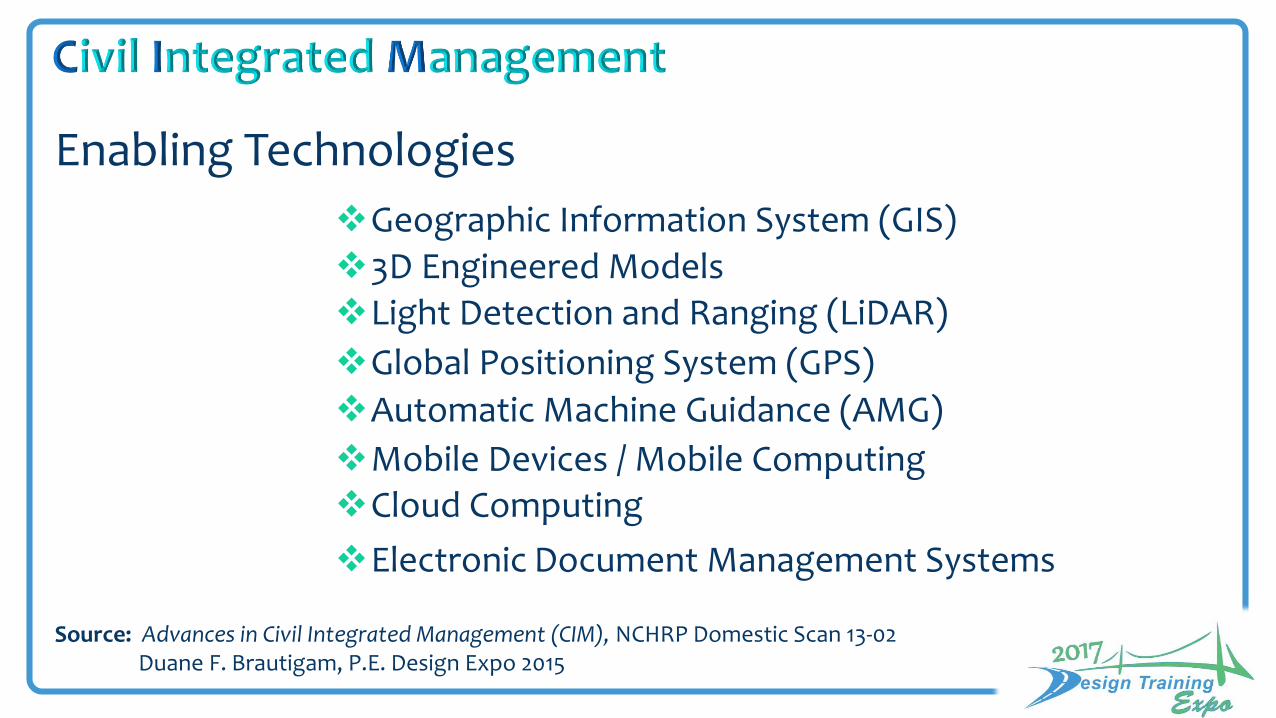
Enabling Technologies
Source: Advances in Civil Integrated Management (CIM), NCHRP Domestic Scan 13-02 Duane F. Brautigam, P.E. Design Expo 2015
Geographic Information System (GIS)
3D Engineered ModelsLight Detection and Ranging (LiDAR)
Global Positioning System (GPS)
Automatic Machine Guidance (AMG)
Mobile Devices / Mobile ComputingCloud Computing
Electronic Document Management Systems
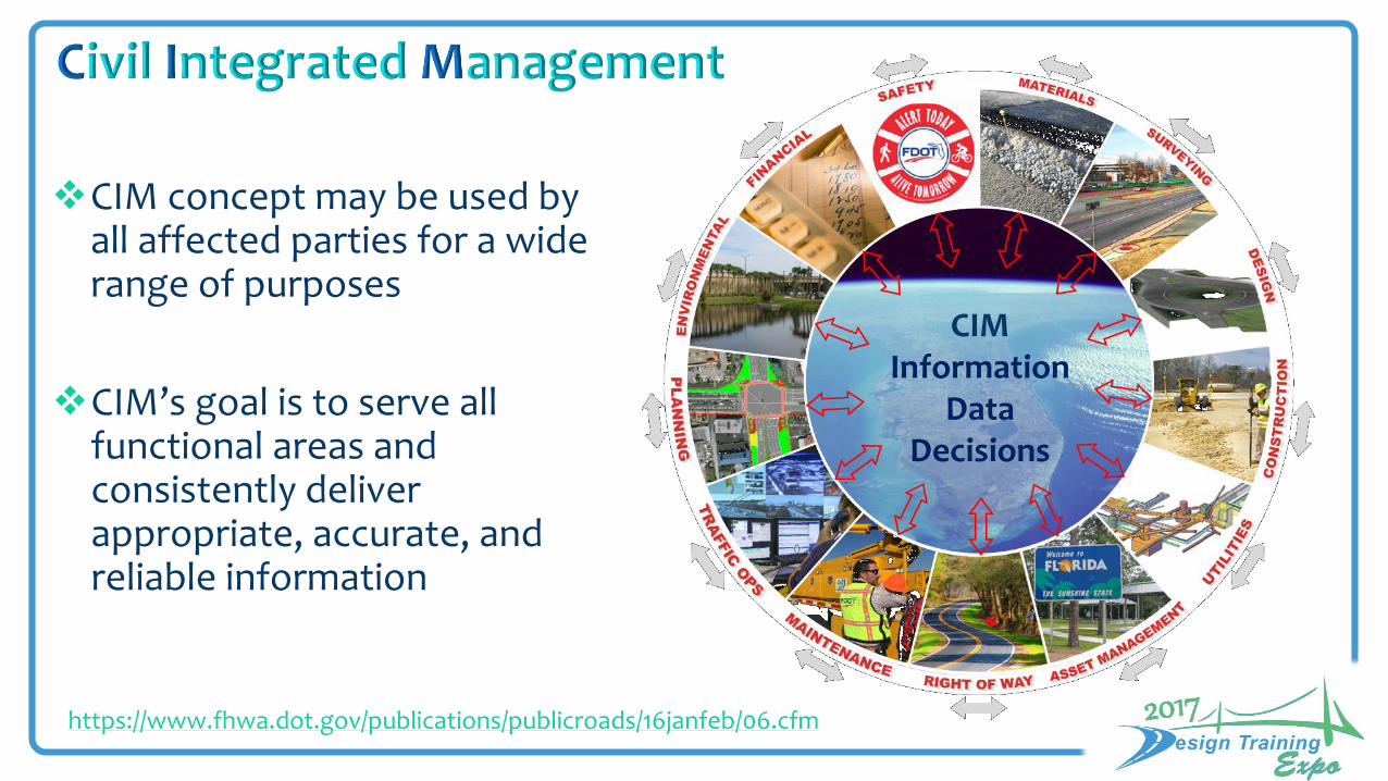
CIM concept may be used by all affected parties for a wide range of purposes
CIMInformation
DataDecisions
CIM’s goal is to serve all functional areas and consistently deliver appropriate, accurate, and reliable information
https://www.fhwa.dot.gov/publications/publicroads/16janfeb/06.cfm

Integrating multiple emerging technologies
CIM has the potential to take project delivery and asset management to the next level by
https://www.fhwa.dot.gov/publications/publicroads/16janfeb/06.cfm
A focus on digital practices
3D models e-Construction
e-Maintenance Digital data
Geospatial referencing
Incorporating the concept of integrated management

FDOT initiative that started in March 2015
The CIM concept lead FDOT to the ROADS initiative

PurposeDevelop and implement an integrated enterprise information management system that will provide reliable and accurate data, and can be quickly shared across the Department
GoalsAssess the organization
Improve data reliability and accuracy
Simplify data sharing across FDOT
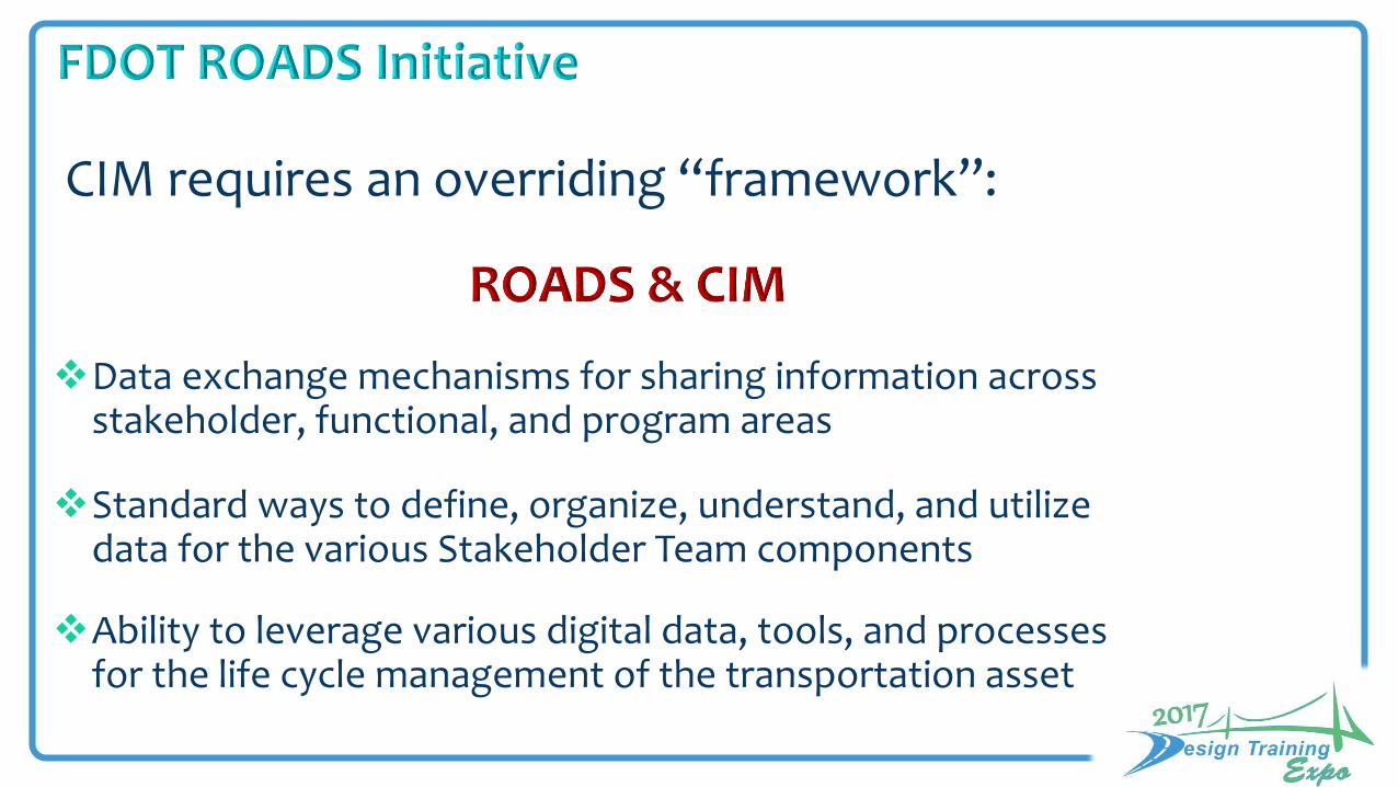
CIM requires an overriding “framework”:
Data exchange mechanisms for sharing information across stakeholder, functional, and program areas
Standard ways to define, organize, understand, and utilize data for the various Stakeholder Team components
Ability to leverage various digital data, tools, and processes for the life cycle management of the transportation asset
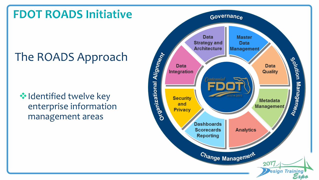
The ROADS Approach
Identified twelve key enterprise information management areas
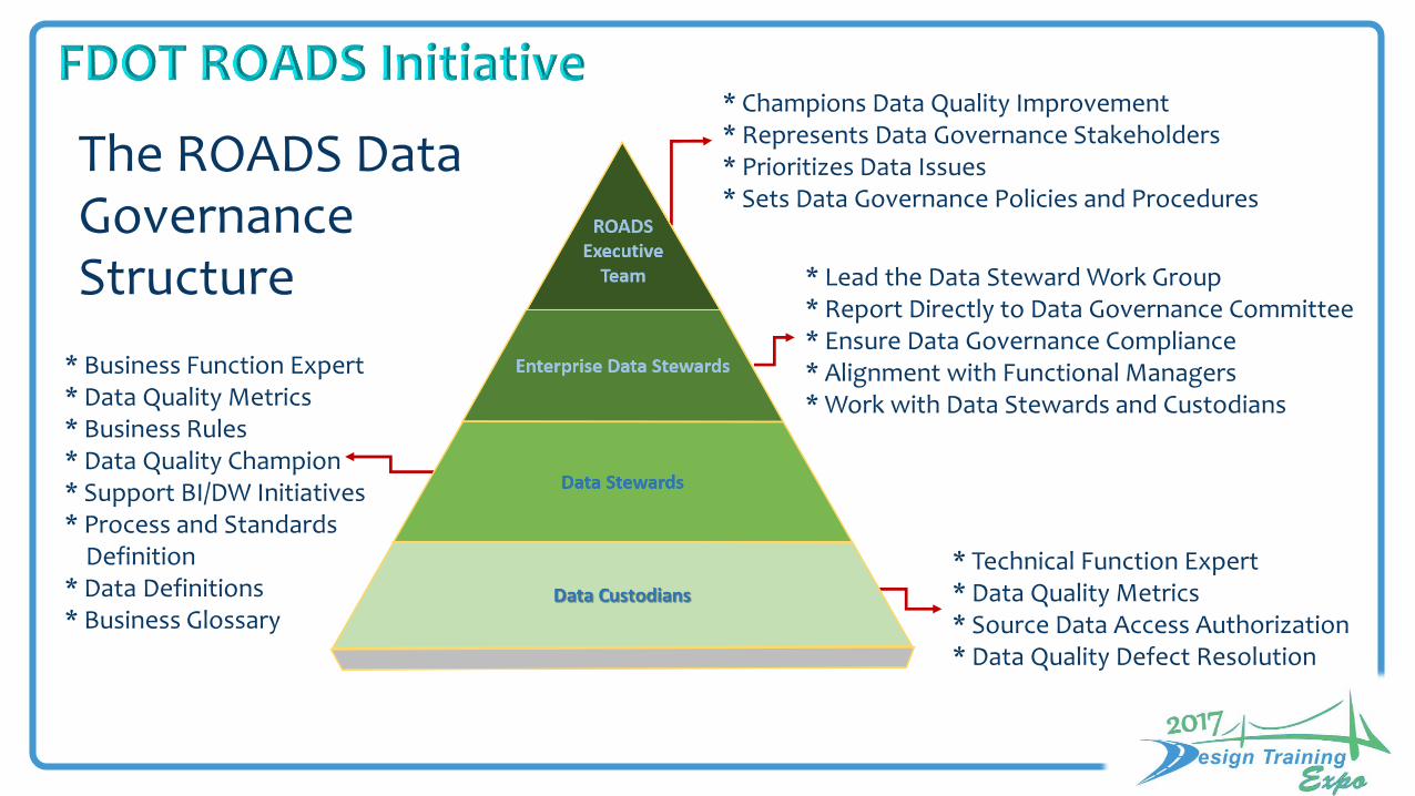
The ROADS Data Governance Structure
* Champions Data Quality Improvement * Represents Data Governance Stakeholders * Prioritizes Data Issues * Sets Data Governance Policies and Procedures
* Lead the Data Steward Work Group * Report Directly to Data Governance Committee * Ensure Data Governance Compliance * Alignment with Functional Managers * Work with Data Stewards and Custodians
* Business Function Expert * Data Quality Metrics * Business Rules * Data Quality Champion * Support BI/DW Initiatives * Process and Standards
Definition * Data Definitions * Business Glossary
* Technical Function Expert * Data Quality Metrics * Source Data Access Authorization * Data Quality Defect Resolution
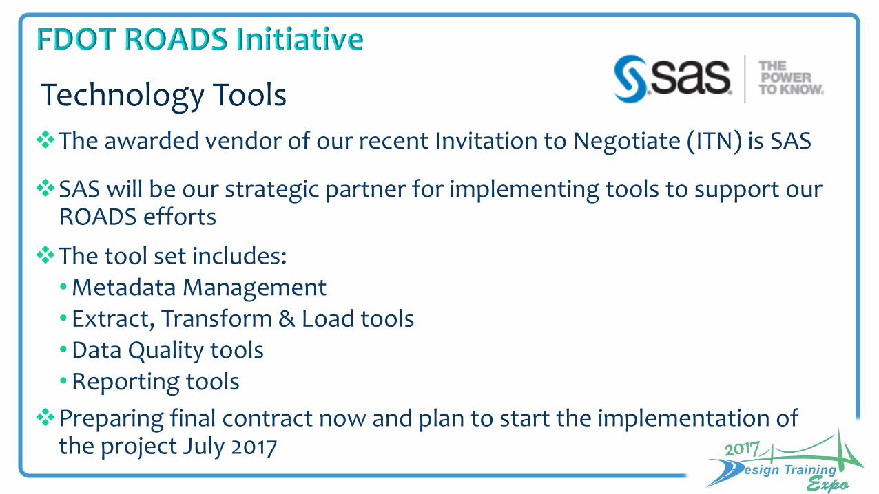
The awarded vendor of our recent Invitation to Negotiate (ITN) is SAS
SAS will be our strategic partner for implementing tools to support our ROADS efforts
The tool set includes:•Metadata Management•Extract, Transform & Load tools•Data Quality tools•Reporting tools
Preparing final contract now and plan to start the implementation of the project July 2017

Geographic Information Systems
A system for
visualizing
questioning
analyzing
interpreting data Understand relationships,patterns and trends
http://desktop.arcgis.com/en/arcmap/10.3/guide-books/map-projections/what-are-map-projections.htm
fast and easy sharing data on any device
working with 2D & 3D data simultaneously
80% or more of the Department’s data
is spatial


Strategic DevelopmentTom Byron
Chief of Transportation TechnologyApril Blackburn
CIOGreg Smiley
Application Services
Integration Services
IT Services
CIM OfficerJohn Krause
ROADS
Transportation Data & Analytics
Surveying & Mapping
GIS Mapping
Information Security Manager
Stephanie Tanner
CybersecurityF.A.C. 74-2
Process and Quality ImprovementKat Simpson
Data Management & Sharing is about the
“BUSINESS”

District GIS Operational Panning meeting
March 8, 2017 – District 7 Headquarters
CO - GIS Operational Planning meeting
February 13 & 14, 2017 – Burns Auditorium
Objectives
• To evaluate current GIS solutions and support for the Department
• Describe how would a Successful GIS Program would look like for FDOT (Utopia)
Attendees
• GIS Coordinators/ GIS Office Representatives
• District Consultant Support
• Power GIS users

Discoverable
Scalable/Customizable
Georeferenced
Accessible
Management Supported
Meets Needs
Flexible
Training
Marketing/Exposure
Successful Enterprise GIS Program (Utopia)
Fast
Current
Consistent
GIS-Driven
Documented
Analytical
Maintainable/Reliable
Solution-Driven
Resource Allocation
Central Office Districts Right People
Management Buy-in/Everyone else
Resources/Consistency
Sharing
Clear Action Items
Common Goals
All Ideas
Transparency
Innovation
Proper hardware

Successful Enterprise GIS Program (Utopia)
Better communication of change control
Standard data structure
Standardize method of data input
Standard map services from enterprise databases
21st century map services
Money - more strategic spending & planning
Resource allocation ($ wise)
Developing applications with any available budget
Centralized public facing site
Vendors supply digital as-builts
Best practices
Reduce redundancy
Continuity of core positions
Dedicated staff
One stop data library
Better transfer of knowledge
Educated support
Better access
Internal branding
Better training/PR
External database
Flexible
Districts

Recommendations - CO
1. Dedicated Funding Vehicle for Location Intelligence
2. Develop Platform (Web, Server, Mobile, Desktop) for all users
3. Develop security & access policies and procedures
4. Leverage ROADS to proceduralize (who needs to be included)
5. Advertising/PR/Training/Marketing/Exposure
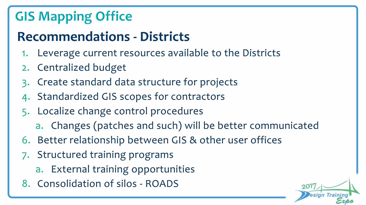
Recommendations - Districts1. Leverage current resources available to the Districts
2. Centralized budget
3. Create standard data structure for projects
4. Standardized GIS scopes for contractors
5. Localize change control procedures
a. Changes (patches and such) will be better communicated
6. Better relationship between GIS & other user offices
7. Structured training programs
a. External training opportunities
8. Consolidation of silos - ROADS

Transportation Technology OfficeCivil Integrated Management Office
GIS Mapping
2017
Chapter 22 OIT Standards & ArcGIS Desktop Consolidation
2015LBR
ArcGIS DesktopConsolidation 2013
GIS Organizational Structure2010
GIS Strategic Plan2008
FDOT started using GIS
1995
GIS in FDOT System of Engagement
2014GIS@FDOT
(AGOL)
GEV (ArcIMS)2005
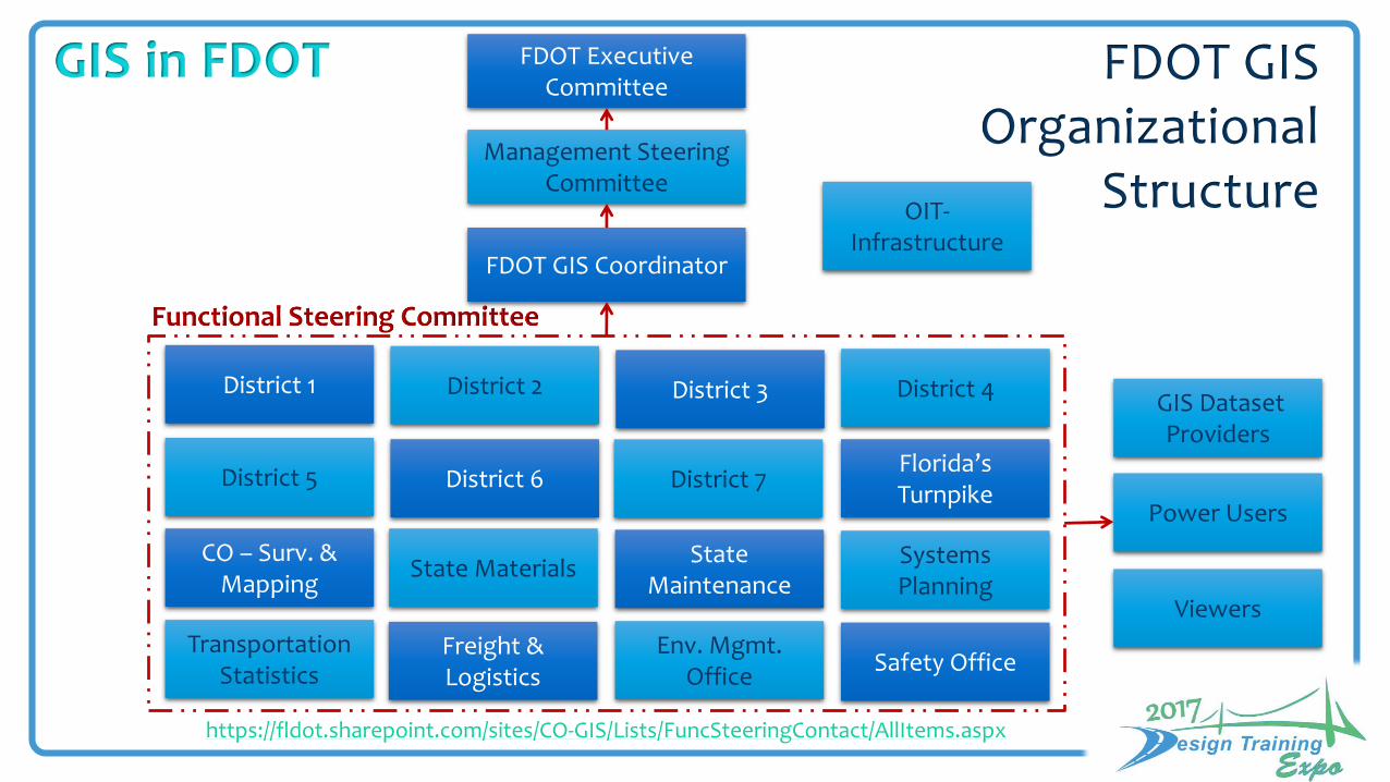
FDOT GIS Organizational
Structure
FDOT Executive Committee
FDOT GIS Coordinator
Management Steering Committee
District 1
Florida’s Turnpike
State Materials
District 2 District 3 District 4
District 5 District 6 District 7
State Maintenance
Systems Planning
TransportationStatistics
Freight & Logistics
Env. Mgmt. Office
Safety Office
CO – Surv. & Mapping
OIT-Infrastructure
GIS Dataset Providers
Viewers
Power Users
https://fldot.sharepoint.com/sites/CO-GIS/Lists/FuncSteeringContact/AllItems.aspx
GIS in FDOT
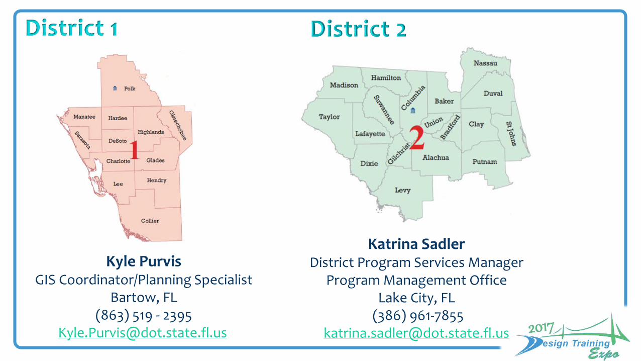
Kyle Purvis GIS Coordinator/Planning Specialist
Bartow, FL(863) 519 - 2395
District 1
Katrina SadlerDistrict Program Services Manager
Program Management OfficeLake City, FL
(386) [email protected]

Corey WebbDistrict III GIS Coordinator
Chipley, FL(850)330-1541
Amber HyerGIS Coordinator
Program Management OfficeFt. Lauderdale
Phone: (954) [email protected]
District 3
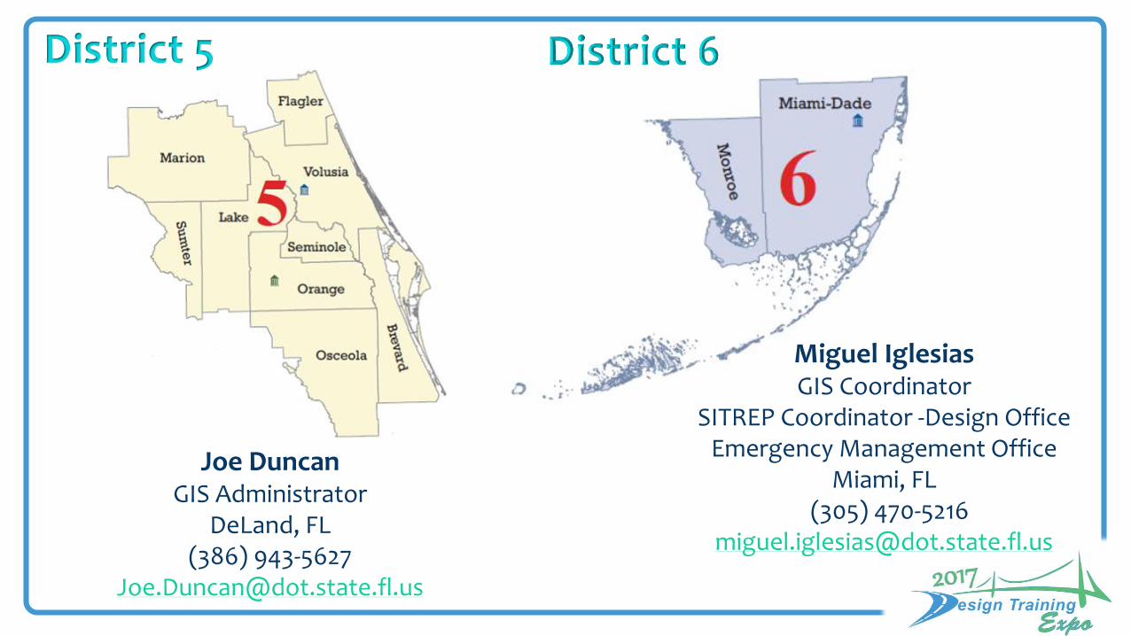
Joe DuncanGIS Administrator
DeLand, FL(386) 943-5627
District 5
Miguel IglesiasGIS Coordinator
SITREP Coordinator -Design OfficeEmergency Management Office
Miami, FL(305) 470-5216

Christy Flickinger, GISPGIS Coordinator
Ocoee, FL (407)-264-3811

Kent CainSystems Planning Office
(850) 414-4913
Dean RogersTechnology Resource Coordinator
Office of Environmental Mgmt.(850) 414-5348
Rupert R. GirouxPublic Transportation Specialist II
State Safety Office(850) 414-4072
Paul O’RourkeManager-GIS Support Section
Transportation Data & Analytics
Tallahassee, FL(850) 414-4732

William (Thad) BryantPavement Assessment Administrator
State Materials OfficeGainesville, FL(352) 955-6331
Ana Nowak, GISPGIS/CADD Supervisor
Surveying & Mapping OfficeTallahassee, FL(850) 414-4365
Scott TimmonsOffice of Maintenance
(850) [email protected]
Jessica RogersBusiness Systems SupportOffice of Info. Technology
(850) 410-5437 [email protected]

Districts & TP
Data&
Apps
Open Data Portal
Open Data Portal
EnterpriseCloud GIS
EnterpriseCloud GIS
OrganizationsOffice of Transportation
TechnologyOffice of Civil Integrated
Management
Mobile
• Governance• Tools• Standards
Flow of Data
GIS Platform
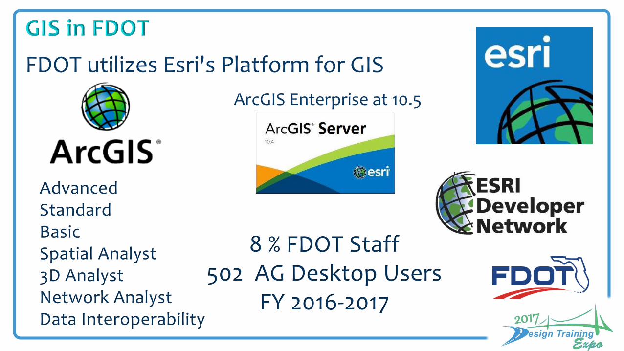
FDOT utilizes Esri's Platform for GIS
8 % FDOT Staff502 AG Desktop Users
FY 2016-2017
ArcGIS Enterprise at 10.5
Advanced Standard Basic Spatial Analyst3D AnalystNetwork AnalystData Interoperability

D2
D7
D6
D4
D5
FTE
SP
BLM
PLM
AG for Desktop Licenses: 191
• Concurrent 119• Single Use 72
AG License Mangers (LM): 9
• Primary LM 1• Backup LM 1• Secondary LM 7
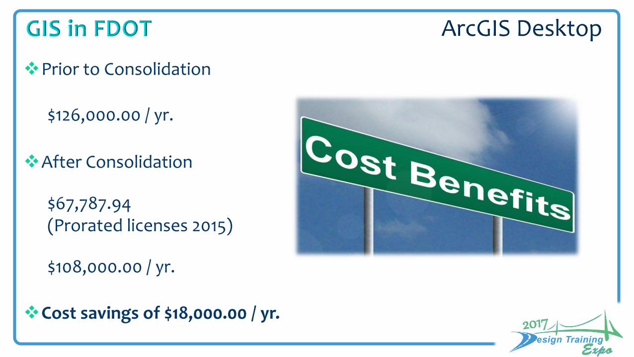
Prior to Consolidation
$126,000.00 / yr.
After Consolidation
$67,787.94 (Prorated licenses 2015)
$108,000.00 / yr.
Cost savings of $18,000.00 / yr.
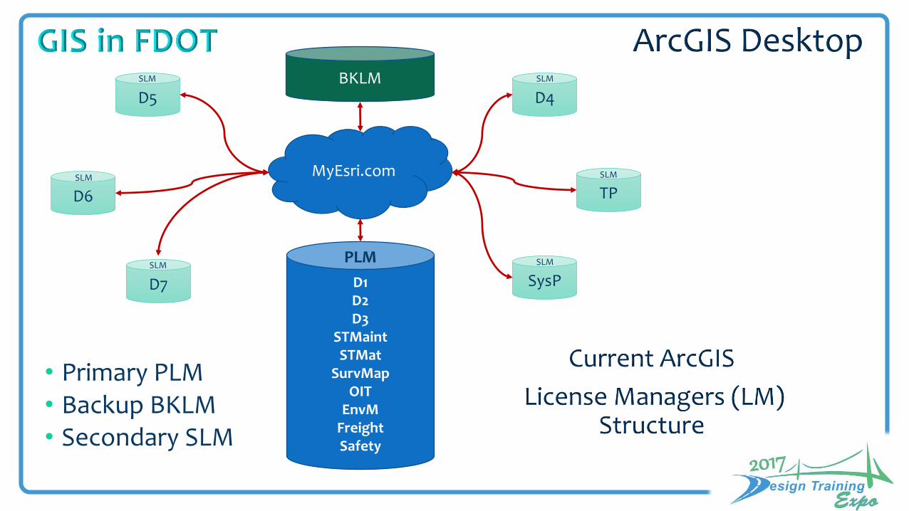
MyEsri.com
D5
SLM
D6SLM
D7
SLM
D4
SLM
TPSLM
SysPSLM
D1D2D3
STMaintSTMat
SurvMapOIT
EnvMFreightSafety
PLM
BKLM
• Primary PLM • Backup BKLM • Secondary SLM

New Users & Existing Users
• Contact your District GIS Coordinator / Office Representative for access or software upgrades
• Download software installs from the Enterprise GIS SharePoint site
https://fldot.sharepoint.com/sites/CO-GIS/Lists/Enterprise%20GIS%20Software/AllItems.aspx
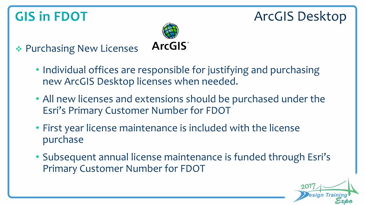
• Individual offices are responsible for justifying and purchasing new ArcGIS Desktop licenses when needed.
• All new licenses and extensions should be purchased under the Esri’s Primary Customer Number for FDOT
• First year license maintenance is included with the license purchase
• Subsequent annual license maintenance is funded through Esri’s Primary Customer Number for FDOT
Purchasing New Licenses

• Request quotes
a. FDOT Desktop License Administrator and/or FDOT GIS Coordinator
Ana Nowak [email protected]
Jared Causseaux [email protected]
b. District GIS Coordinator / Office Representative
Purchasing New Licenses

*Based on primary licenses
ArcGIS Desktop Licenses and Maintenance Entitlements
Product Concurrent
Lic.
Single UseLic.
SupportAutho. Callers
AGOLName Users
ArcGIS Pro
EUC
Advanced 21 0 3* 21 21 3*
Standard 19 1 3* 20 20 3*
Basic 60 64 13* 124 124 4
Subtotal 100 65 19* 165 165 10
http://www.esri.com/software/maintenance


20
40
60
80

Implemented in November 2014
Lightweight maps & applications
Data sharing for both internal and external use without taxing our existing IT infrastructure
FDOT’s ArcGIS Online Organization

Named Users 245 of 265
Credits 19,574• Expire 8/31/2017• 17,500 credits/yr.
57 Groups (organizational structure)
FDOT’s ArcGIS Online Organization
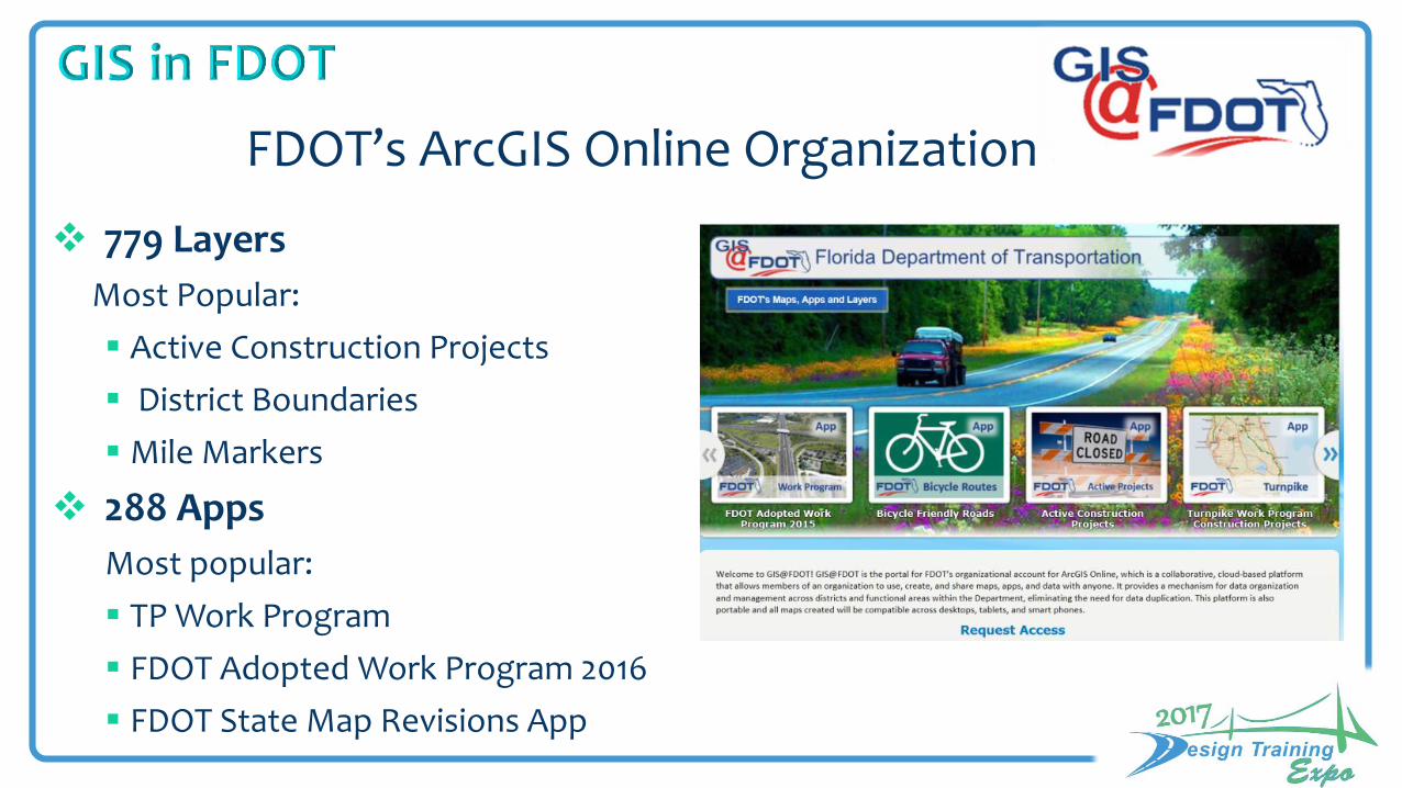
779 Layers
Most Popular:
Active Construction Projects
District Boundaries
Mile Markers
288 Apps
Most popular:
TP Work Program
FDOT Adopted Work Program 2016
FDOT State Map Revisions App
FDOT’s ArcGIS Online Organization
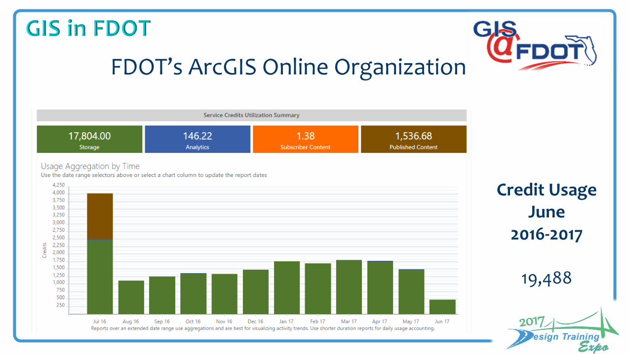
Credit Usage June
2016-2017
19,488
FDOT’s ArcGIS Online Organization

GIS@FDOT Best Practices & Governance document• Best Practices• User rolls• Member usage• Groups• Sharing and publishing content, especially with the public• Metadata/ data disclaimer• Thumbnail images• Content Management• Credit management and usage
https://fldot.sharepoint.com/sites/CO-GIS/Shared%20Documents/GIS%40FDOT/GIS%40FDOT_BestPractices.docx
FDOT’s ArcGIS Online Organization
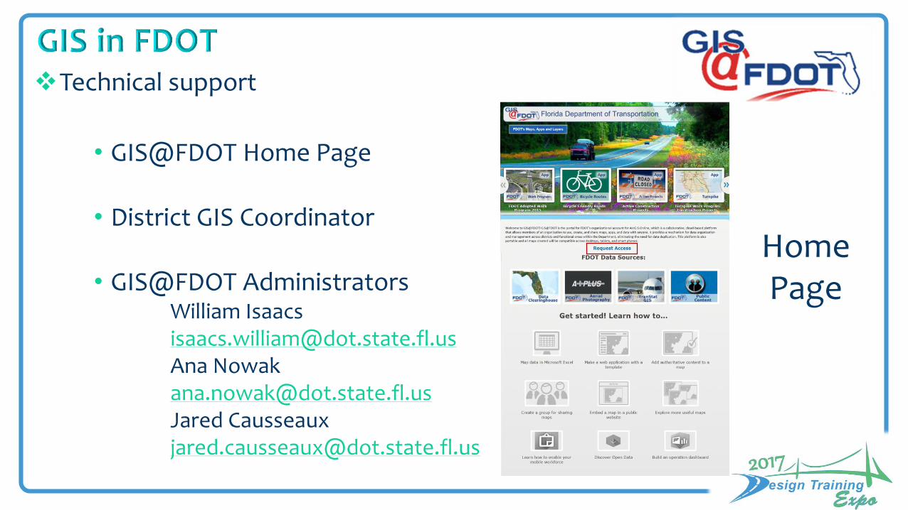
Technical support
• GIS@FDOT Home Page
• District GIS Coordinator
• GIS@FDOT AdministratorsWilliam [email protected] Nowak [email protected] Causseaux [email protected]
Home Page
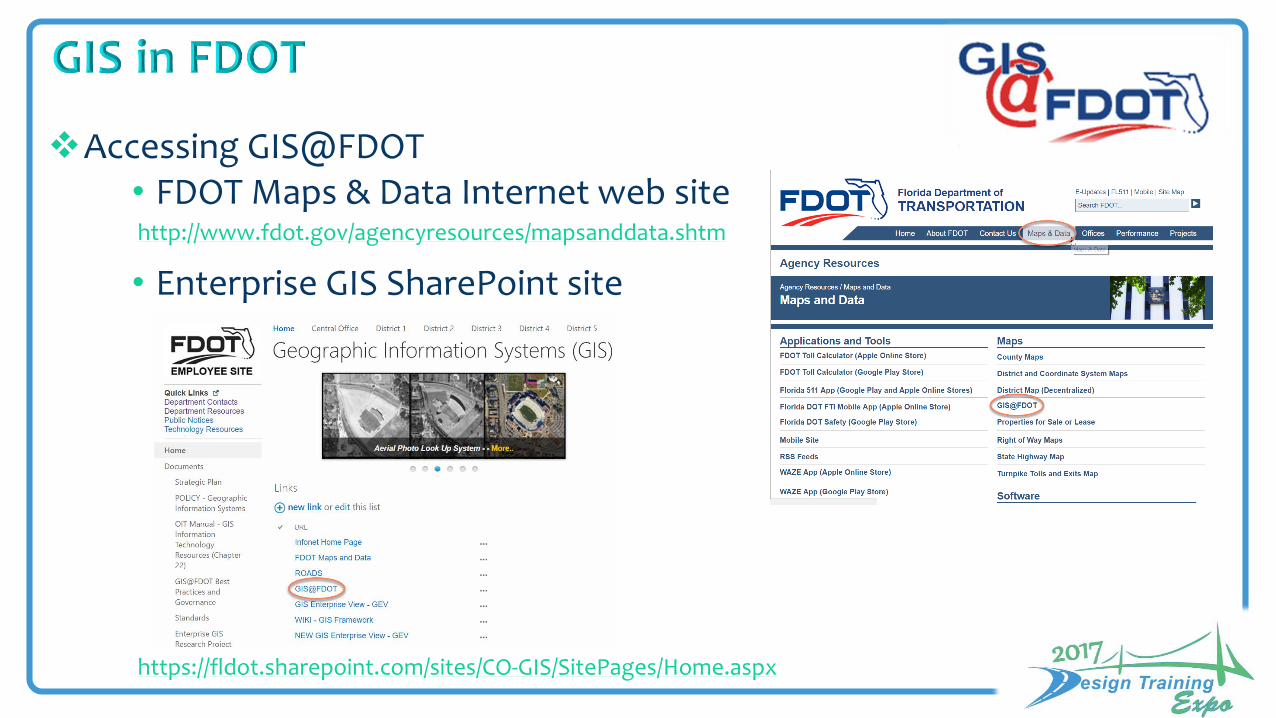
Accessing GIS@FDOT• FDOT Maps & Data Internet web site
• Enterprise GIS SharePoint site
https://fldot.sharepoint.com/sites/CO-GIS/SitePages/Home.aspx
http://www.fdot.gov/agencyresources/mapsanddata.shtm
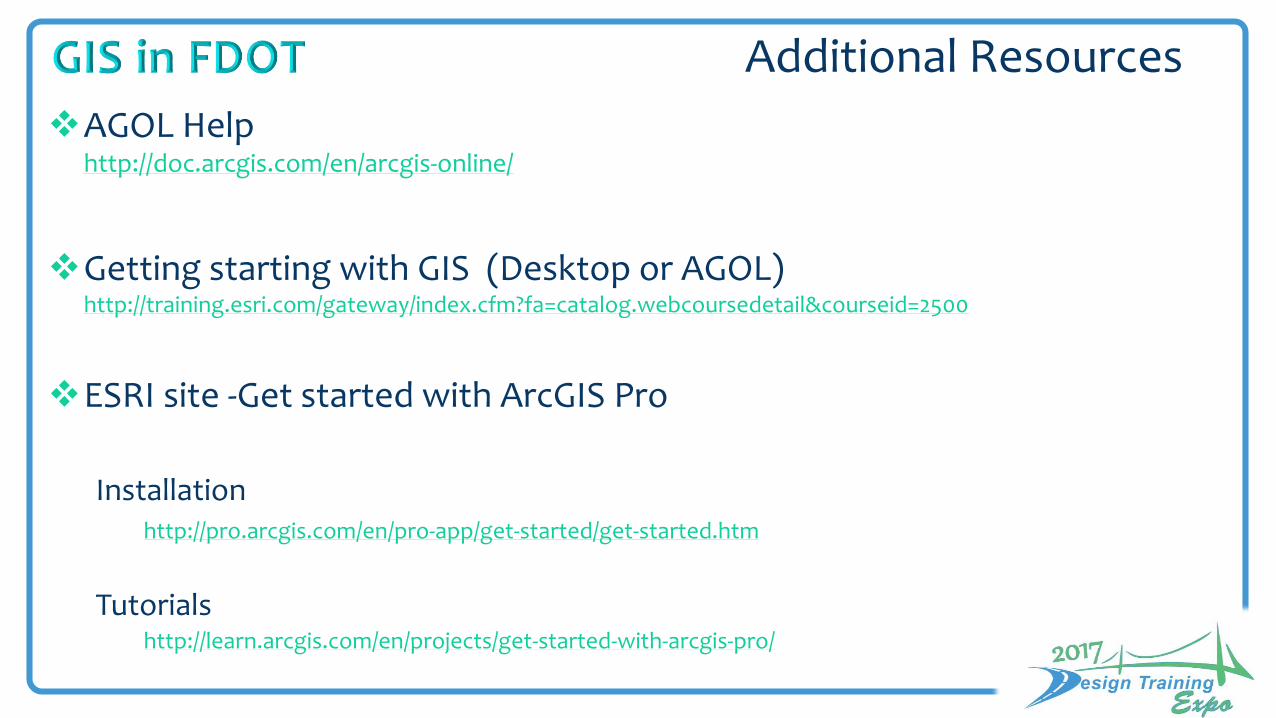
AGOL Helphttp://doc.arcgis.com/en/arcgis-online/
Getting starting with GIS (Desktop or AGOL)http://training.esri.com/gateway/index.cfm?fa=catalog.webcoursedetail&courseid=2500
ESRI site -Get started with ArcGIS Pro
Installationhttp://pro.arcgis.com/en/pro-app/get-started/get-started.htm
Tutorialshttp://learn.arcgis.com/en/projects/get-started-with-arcgis-pro/
Additional Resources

GIS Training
For access contact Ana Nowak [email protected]
http://www.esri.com/training/main/training-catalog
Additional Resources

GIS Program
More Mobile Solutions
Adopting ROADS governance
Enterprise GIS platform meeting ALL needs
Enterprise GIS

Collection of configurable apps, organized by business function
Apps consuming one or more services
Capitalize on the value from existing IT investments and data governance
One Destination
Manage users
Access on any device
Collect new data
Share with others
Reusable services to read/write data to/from data groups
Data Services
DS 1 DS 2 DS 3 DS 4 DS N
Apps
App 1 App 2 App 3 App 4 App N
DOT Business Systems
Crashes Pavement Design Safety Group N