Embed Size (px)
Citation preview

Geographic information systems
Basic terms,concept of GIS
(Lesson 1)
uboš Balážovič, Hana Stanková © 2007-2017Ľ
Contents
what is GIS? / usage of GIS introduction to QGIS map navigation working with layers homework no.1 – your first map

Introduction
usage of GIS rescue systems

Introduction
usage of GIS rescue systems environmental
monitoring

Introduction
usage of GIS rescue systems environmental
monitoring natural science
research monitoring the
movement of animals
spread of disease (viruses) ...
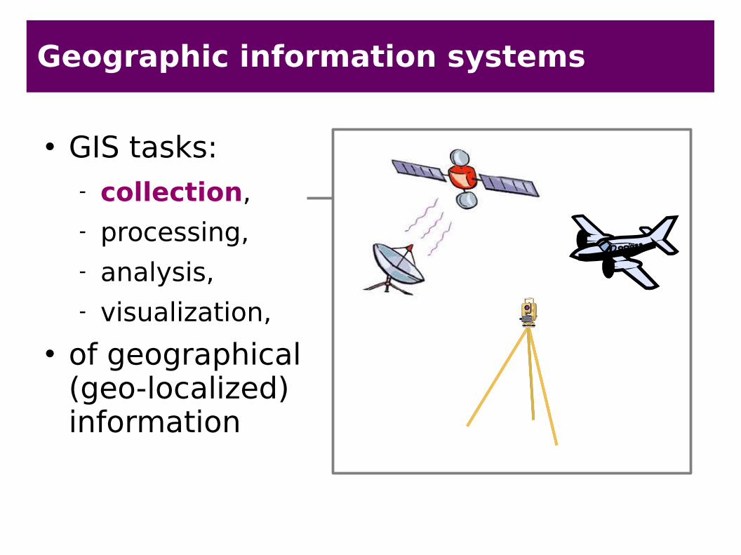
Geographic information systems
GIS tasks: collection, processing, analysis, visualization,
of geographical (geo-localized) information

Geographic information systems
GIS tasks: collection, processing, analysis, visualization,
of geographical (geo-localized) information

Geographic information systems
GIS tasks: collection, processing, analysis, visualization,
of geographical (geo-localized) information

Geographic information systems
GIS tasks: collection, processing, analysis, visualization
of geographical (geo-localized) information
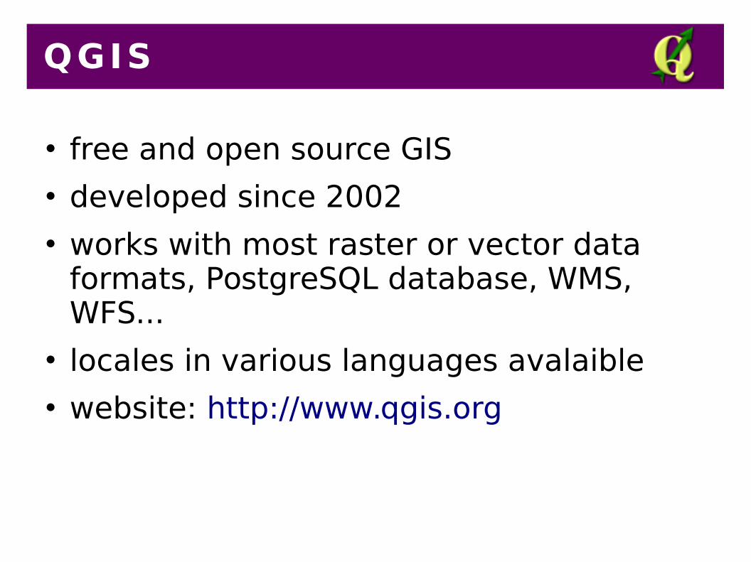
QGIS
free and open source GIS developed since 2002 works with most raster or vector data
formats, PostgreSQL database, WMS, WFS...
locales in various languages avalaible website: http://www.qgis.org

Introduct ion to QGIS

Main menu

Panels / Toolbars

Panels / Toolbars

Map canvas
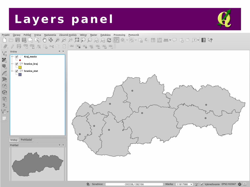
Layers panel

Browser panel

Overview

Status bar

Dialog box

I tems

Concept of layers
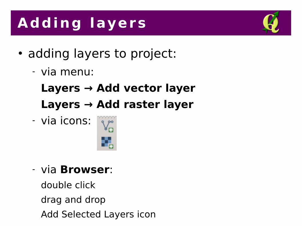
Adding layers
adding layers to project: via menu:
Layers → Add vector layer
Layers → Add raster layer via icons:
via Browser: double click
drag and drop
Add Selected Layers icon

Working with layers
changing layers order: drag and drop in Layers panel
changing layer style: double click - Properties dialog box:
fill color
fill style (solid, no brush, hatch, dots ...)
outline color
outline style (solid line, dash line, dot line ...)
outline width

Map navigation
zoom in zoom out pan zoom full zoom to layer zoom to selection zoom in/out by scroll (mouse wheel)

Overview
overview map navigation:
Settings → Panels → Overview Panel layer → Show in Overview changing view by drag and drop of red
rectangle in overview panel
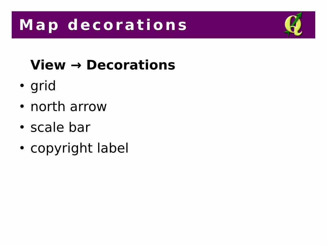
Map decorat ions
View → Decorations grid north arrow scale bar copyright label
P lugins
Plugins → Manage and Install Plugins functionality extension additional functions:
creating layer from XY coordinates table, GPS tools, georeferencing, ...

Project
which is stored in the project? layers styling layers order project settings (map units, layer names,
coordinate system ...) which is not stored in the project?
layers data guidance:
to transfer the project, we have to copy not only the project itself, but also the layers data (shapefiles, etc.)

Saving the map
save the map as an image (PNG, JPG):
Project → Save as Image... image of the map we can paste to text
documents, publish on the website or modify in graphic editors

Homework no.1
download vector layers from:
http://gis.fns.uniba.sk/vyuka/Gis/u1/d1.zip create the map from layers:
change the layers order properly, style the layers, add map decorations (scale bar, north arrow) put your name in copyright label save the map as an image
send the image to [email protected]
deadline: until the next lesson

The End
Thank you for attention!


![GIS basic concept [相容模式] - myweb.ncku.edu.twmyweb.ncku.edu.tw/~ftlin/course/GIS/GIS_basic_concept.pdf · 定義definition • 地理資訊系統(Geographical Information(Geographical](https://img.dokumen.tips/doc/110x75/5e0deadd79517243cc77b1f6/gis-basic-concept-c-mywebnckuedu-ftlincoursegisgisbasicconceptpdf.jpg)