Embed Size (px)
Citation preview

Table of Contents
______________________________________________
Introduction...................................................................................................................3Southern Mapping Geospatial......................................................................................3Airborne Lidar Mapping................................................................................................3Lidar for Mining.............................................................................................................4Lidar for Power.............................................................................................................4Lidar for Power.............................................................................................................4Hyperspectral Imaging .................................................................................................5Hyperspectral applications for Mining...........................................................................5Hyperspectral applications for Agriculture....................................................................5Contact Us....................................................................................................................6B-BBEE & Employment Equity.....................................................................................7
Introduction
Smartvest Investment - a Black owned investment holding company - and Southern Mapping Company (SMC),a South African company and a world leader in Airborne Mapping formed a new partnership, Southern MappingGeospatial (SMG). Southern Mapping Geospatial is South Africa’s first Black owned airborne Lidar and airborneHyperspectral Company which will service clients in both the public and private sectors throughout South Africa.
The technologies, aircraft and skills of SMC are utilised in the business process to advance solutions in SMG’sown customer portfolio.
Southern Mapping Geospatial - Airborne survey specialists
Southern Mapping Geospatial (SMG) is a leader in providing topographic surveying and mapping for a varietyof industries and sectors. The company combines aerial Lidar and Hyperspectral technologies to produce highlyaccurate data used to create plans and maps.
The SMG team of highly skilled surveying and geographical information system (GIS) staff offer servicesto support civil engineering and infrastructure development, mineral exploration and mine management,environmental planning and rehabilitation, as well as urban and agricultural planning. Linear route surveyingallows for accurate surveys for the planning and documenting of power lines, pipelines, railway lines and allforms of infrastructure, whether new or existing.
Airborne Lidar mapping
SMG makes use of the world’s smallest, full-system ALTM Lidar sensor, in order to conduct Lidar surveys.
With an investment of US $1.2 million, the Orion uses laser distance measuring technology to perform highlyaccurate and dense topographic mapping. The Orion, combined with a digital camera, fires200 000 laser pulses per second resulting in extremely precise and high speed digital terrain mapping.The extent of detail of our surveys varies according to client requirements. 200 000 pulses per second means200 000 point coordinates in latitude, longitude and height AMSL (above mean sea level) every second.Lidar for Urban development
Data acquired from the Lidar surveys can also be used by municipalities for infrastructure planning, as well astransport planning divisions for the upgrade and maintenance of major public transport systems.

Lidar for Mining
Our professional survey results are used for a number of applications throughout the life cycle of a mine.
Our key mining sector services include aerial surveys for:
· Disaster planning· GIS data capturing· Calculation of pit and stockpile volumes· Audit surveys· As build surveys· Infrastructure design· Mine expansion planning· Environmental rehabilitation and monitoring· Surveys in dangerous or inaccessible places· Slimes dams design, survey, and monitoring· High accuracy DTM for enhanced geophysical analysis
Lidar for Power
Access to electricity is vital to sustain a decent quality of life. Companies are under pressure to deliver power toend users in greater quantities and at a greater speed than ever before. At the same time, it is becoming moredifficult to find sites for power generation and routes for transmission lines. Lidar is the ideal technology to assistin power line infrastructure maintenance and development. The results are used for a variety of applications andinclude:
· Site selections, whether the source is hydro, coal, or nuclear· Infrastructure design on the final site, from supply of raw material to delivery of power· Life cycle surveys for on-going design and maintenance· Selection of the optimal transmission line corridor· Profile survey of the final route· Surveys to maximise electricity transmission on existing power lines· Danger tree and clearance violations
Hyperspectral imaging
Hyperspectral remote sensing, a result of the integration of optical remote sensing and traditional spectroscopictechnologies, allows for the differentiation of unique spectral signatures of target on the surface of the earth.Hyperspectral systems now make it possible to collect and analyse hundreds of spectral bands across theelectromagnetic spectrum, providing detailed spectral data previously not possible throughmulti-spectral systems.
Hyperspectral applications for mining
The huge volumes of multi-dimensional data collected by hyperspectral systems make a wide diversity of miningapplications possible. SMG can assist mine management in detecting mineral deposits, indentifying andmonitoring mining operations as well as providing an accurate assessment of the extent of how tailings(dumps) have changed over time which is necessary in calculating the life cycle of a mine.
Mine pollution supervision is a primary objective on mines. Hyperspectral imagery allows the mining industryand environmental managers to obtain spatially comprehensive and accurate data for mapping and monitoringeffects that the mine has on the environment, which assists in ensuring that rehabilitation measures areadhered to.
Hyperspectral applications for agriculture
Precision farming is an agricultural concept that seeks to optimize agricultural inputs on the basis of ‘in-fieldvariability’, i.e. the varying nature of soil content, land carrying capacity etc. The accurate determination ofin-field variability allows for the effective implementation of precision farming techniques, such as:
· Early detection of disease· Soil characterisation and inventory· Harvest estimation· Directives for supervised treatment of land
The precision management of farming activity increases efficiency and output, while reducing environmentalimpacts. The availability of hyperspectral sensor systems allows precision farming experts the opportunity tochoose solutions-oriented products derived from hyperspectral data.
Contact DetailsSouthern Mapping Geospatial (Pty) Ltd
39 Kingfisher Drive, Fourways,Sandton, 2055
Contact: Norman BanksTel: +27 (0)11 467 6721 - Fax: +27 (0)11 467 3443
E-mail: [email protected]: www.smgeospatial.co.za
Effective and timely disease management is critical in maintaining a competitive advantage in the agriculturalsector. Like many crops, sugarcane is susceptible to a variety of pathogens that can cause serious damage tocrop yield. Curative measures to minimizing the impact of crop disease range from identifying the location andextent of stressed crops, to the application of chemicals for disease control.
Up-to-date and accurate information on soil properties is important for precision farming and environmentalmanagement. While conventional soil sampling procedures are labour-intensive, time-consuming andexpensive, hyperspectral remote sensing techniques provide a rapid and efficient tool for mapping soilproperties. The precision management of farming activity increases efficiency and output, while reducingenvironmental impacts. The availability of hyperspectral sensor systems allows precision farming experts theopportunity to choose solutions-oriented products derived from hyperspectral data.
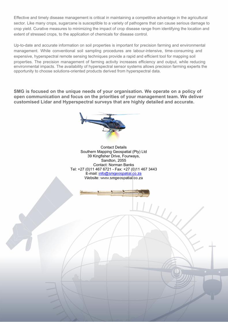
SMG is focused on the unique needs of your organisation. We operate on a policy ofopen communication and focus on the priorities of your management team. We delivercustomised Lidar and Hyperspectral surveys that are highly detailed and accurate.
B-BBEE and Employment Equity____________________________________________
SMG has the following percentages for BBBEE representations:
Black Shareholding 51%Black Management 100%Black Directors 57%
AsAs a result of the above staff and ownership figures, as well as our procurement and Social responsibility initiatives, SMG has been rated a Level 1 BEE Company.Please find attached our official BBBEE rating produced by EMEX rating agency which is SANAS approved.
LocalisationWithWith regards to localisation SMG has embarked on procuring all its goods and services from local black owned companies who are level 1 to 4 BBBEE contributors and have a minimum of 30% black women owned or 51% black owned. This is non-negotiable requirement within our company. We also encourage our suppliers themselves to embrace the principles of ASGISA and Localisation within their organisations and companies.
Quality and SafetyInIn October 2011, we were awarded our ISO9001:2000 Quality Certificate our Certificate number is 01 100 928149 Please see attached letter of recommendation.The issue of safety is foremost in our operational planning and, to this end, we are in the process of obtaining an ISO safety rating to complement our quality rating.The modifications undertaken to accommodate our LIDAR system, camera and hyperspectral systems in our aircraft have been approved and certified by the South African Civil Aviation Authorities.
TheThe usage and operating procedures of SMG have been approved by the Ministry of Health in accordance with their Radiation Control Programme. In addition, all of our field operators have completed Laser safety courses, as required by the Ministry.The operating procedures of both SMG and CFA (our aircraft operator) have been approved by Hart Aviation as well as Litson and Associates, a private approval agency, whose clearance is required by a number of the major mining companies, including Anglo American, Rio Tinto and BHP Billiton.

Capabilities and ExperienceSMGSMG is a Level 1 BEE Company which is fast expanding in South Africa as the leading Geospatial Company. SMG has the backing of Southern Mapping Company and its resources which include a wealth of survey knowledge and experience, including being pioneers in the LIDAR industry. We believe that we are confident that we can deliver a complete range of survey products which could meet the survey and related GIS requirements of the city.SouthernSouthern Mapping owns two LIDAR systems; and a third system was delivered in December 2011. This will be a modern, high quality system from one of the most respected suppliers in the world. SMG also operates the only Hyperspectral Camera in South Africa.
SouthernSouthern Mapping owns and operates its own aircraft across the continent. These are registration ZS BGR, a Cessna T206H aircraft as well as a Partenavia P68 ZS-LSX twin engine aircraft. We also lease in two Cessna Caravans 208 ZS-ATP and ZS-CTP for our additional use.
Southern Mapping also has varouis satellite image and radar distributorships which include among other Radarsat from MDA, Rapideye, Digital Globe, Geoeye Terra SAR X services.


![51 6(5,(6 - AAON€¦ · 7deoh ri &rqwhqwv $$21 51 6hulhv +rul]rqwdo &rqiljxudwlrq )hdwxuhv dqg 2swlrqv ,qwurgxfwlrq 6dihw\](https://img.dokumen.tips/doc/110x75/6101239e6221331abe326e22/51-656-aaon-7deoh-ri-rqwhqwv-21-51-6hulhv-rulrqwdo-rqiljxudwlrq.jpg)


![6KHUEURRNH 6W :HVW 6XLWH7DEOH RI &RQWHQWV 02( 0ROHFXODU 2SHUDWLQJ (QYLURQPHQW %XLOGLQJ DQG 0LQLPL]LQJ &RQIRUPDWLRQDO 3UHIHUHQFH RI 0HWK\OF\FORKH[DQH *HRPHWU\ RU +RZ 'RHV 0ROHFXODU](https://img.dokumen.tips/doc/110x75/5fcf2ce7d77dcc5c0b337287/6khueurrnh-6w-hvw-6xlwh-7deoh-ri-rqwhqwv-02-0rohfxodu-2shudwlqj-qylurqphqw.jpg)


![VWDOORJUDSKLF 0HHWLQJ - Naslovnica · 7deoh ri &rqwhqwv 2ujdql]dwlrq ,qylwdwlrq](https://img.dokumen.tips/doc/110x75/5c62e40709d3f27c208baf07/vwdoorjudsklf-0hhwlqj-7deoh-ri-rqwhqwv-2ujdqldwlrq-qylwdwlrq-.jpg)


![Andrew Ward Thesis[1] - QUTu &RQWHQWV &RQWHQWV )LJXUHV 6WDWHPHQW RI 2ULJLQDOLW\](https://img.dokumen.tips/doc/110x75/60ba8e06e7c786539260e3a4/andrew-ward-thesis1-qut-u-rqwhqwv-rqwhqwv-ljxuhv-6wdwhphqw-ri-2uljlqdolw.jpg)