Embed Size (px)
Citation preview

20.04.23 1
Using Dual Azimuth Acquisition to Illuminate
Beneath Salt Domes
Fiona Dewey 1
Julia Bernard 2
1 Wintershall Noordzee BV2 Now with Wintershall Erdoelwerke A.G.

20.04.23 2
Agenda
The Problem
Acquisition
Time Processing
Depth Migration
Results
Conclusions
Acknowledgements

20.04.23 3
The ProblemPoor Imaging Below Salt Structures
W E
??
1990 Acquisition with (1999) PrSDM processing

20.04.23 4
The Problem
Many gas discoveries close to salt features.
20.04.23 5
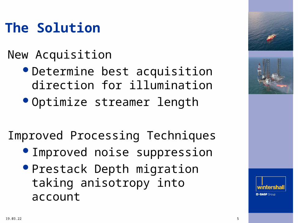
The Solution
New AcquisitionDetermine best acquisition direction for
illuminationOptimize streamer length
Improved Processing TechniquesImproved noise suppressionPrestack Depth migration taking
anisotropy into account
20.04.23 6
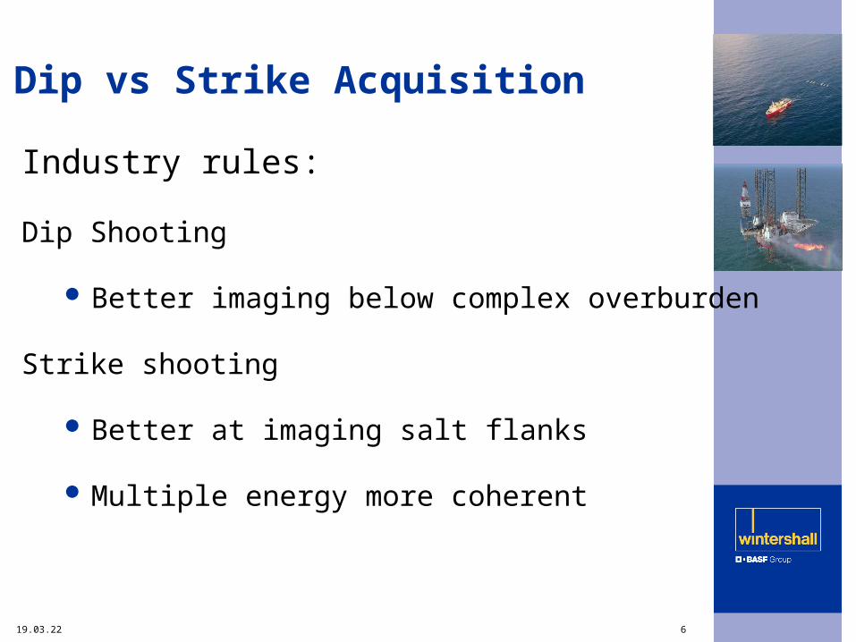
Dip vs Strike Acquisition
Industry rules:
Dip Shooting
Better imaging below complex overburden
Strike shooting
Better at imaging salt flanks
Multiple energy more coherent

20.04.23 7
Illumination Study
Study Objectives:
Map illumination for different acquisition
directions
Investigate effect of increasing cable
length

20.04.23 8
Illumination Study
Conclusions:
Illumination patchy under salt ridge
N-S acquisition provides additional
illumination under salt flanks
Optimal cable length 5000-6000 m

20.04.23 9
Acquisition Parameters Comparison
1990 Acquisition
2003 Acquisition
Streamer length 3000m 5100m
Navigation Syledis DGPS
Configuration 2 Vessels
4 Sources
4 Streamers
1 Vessel
2 Sources
6 Streamers
Near Trace offset 117m 110m
Fold of Coverage 20 68
CDP trace spacing 75m 37.5m
CDP spacing In line
Cross line
12.5m
25m
6.25m25m

20.04.23 10
2003 Acquisition Program
Main acquisition direction W-E (556 km²)
Two additional swaths N-S (196 +185 km²)

20.04.23 11
Hide
Vessel Position Tracks
Shooting pattern optimised to reduce waiting on tides and maximise feather matching

20.04.23 12
Conclusions
Illumination differences seen on sides and under salt structures
Away from salt illumination differences are small
In less complex areas summation of PrSTM data sets gives improved signal to noise
Depth migration moves steep dips to similar locations
Anisotropy parameters defined for each orientation

20.04.23 13
Summary
Orthogonal acquisition combined with long streamers has illuminated previously hidden parts of the subsurface
Challenges still remain in processing to define one unique velocity field that will account for the differences in anisotropy of the two acquisition directions
Does the imaging improvements justify the extra cost ??

20.04.23 14
Working Together
Contractor
Illumination study Concept systems
Acquisition PGS
Time processing Veritas DGC
Depth migration WesternGeco
Acquisition and processing QC
Monarch Technical Services

20.04.23 15
Acknowledgement
Wintershall Noordzee BV
Energie Beheer Nederland BV
Petro-Canada


![Wintershall Noordzee V - Commissiemer.nl · [3] DNV-RP-F105. “Free Spanning Pipelines.” February 2006. [4] DNV RP-F107. “Risk Assessment of Pipeline Protection.” October 2010](https://img.dokumen.tips/doc/110x75/60f7a3f2011b1a2a7e1a20d6/wintershall-noordzee-v-3-dnv-rp-f105-aoefree-spanning-pipelinesa-february.jpg)

![Wintershall Noordzee V - Commissiemer.nlPipeline Free Span Analysis Pipeline free span analysis has been carried out according to the requirements of NEN 3656 (Ref. [1]). The aim of](https://img.dokumen.tips/doc/110x75/612dce501ecc515869426b05/wintershall-noordzee-v-pipeline-free-span-analysis-pipeline-free-span-analysis.jpg)