Embed Size (px)
Citation preview
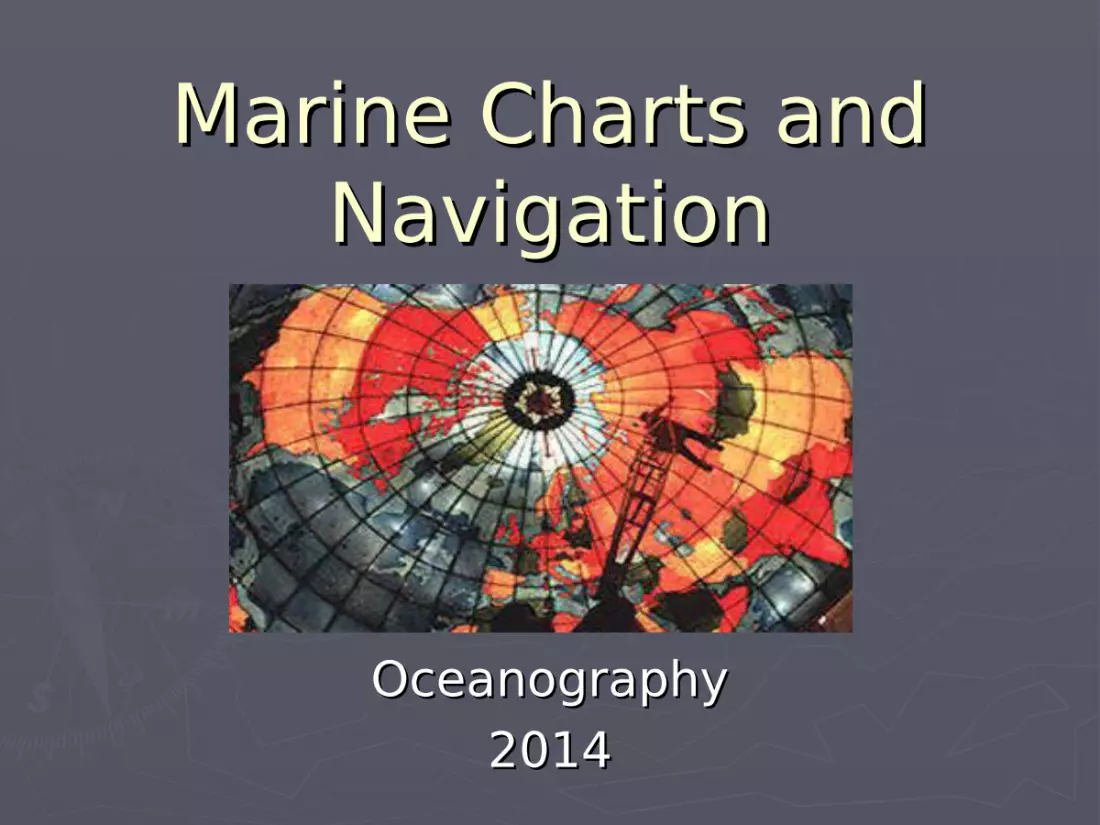
Marine Charts andMarine Charts andNavigationNavigation
OceanographyOceanography20142014

Earth Coordinate SystemEarth Coordinate System► LatitudeLatitude1.1. Parallels of arcParallels of arc2.2. 0º-90º N-S from 0º-90º N-S from
the equator to the equator to polespoles
3.3. 1º = 60’ (1’=60 1º = 60’ (1’=60 sec)sec)
4.4. small circlessmall circles
► LongitudeLongitude1.1. Meridians of angleMeridians of angle2.2. 0º (prime 0º (prime
meridian) -180º E-meridian) -180º E-W pole to poleW pole to pole
3.3. Prime meridian is Prime meridian is measured at measured at Greenwich EnglandGreenwich England
4.4. great circlesgreat circles
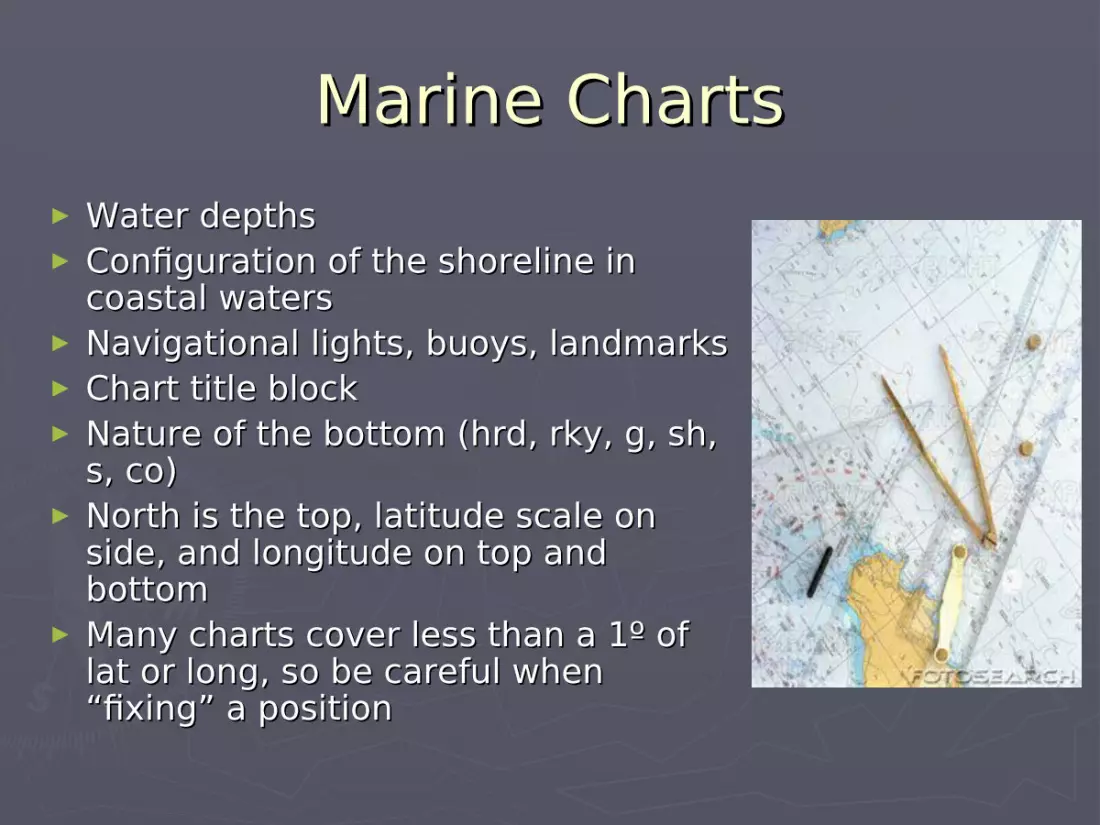
Marine ChartsMarine Charts► Water depthsWater depths► Configuration of the shoreline in Configuration of the shoreline in
coastal waterscoastal waters► Navigational lights, buoys, landmarksNavigational lights, buoys, landmarks► Chart title blockChart title block► Nature of the bottom (hrd, rky, g, sh, Nature of the bottom (hrd, rky, g, sh,
s, co)s, co)► North is the top, latitude scale on North is the top, latitude scale on
side, and longitude on top and side, and longitude on top and bottombottom
► Many charts cover less than a 1º of Many charts cover less than a 1º of lat or long, so be careful when lat or long, so be careful when “fixing” a position“fixing” a position

Units of DistanceUnits of Distance
► Statute vs. nautical milesStatute vs. nautical miles► 1 nautical mile = 1’ of latitude1 nautical mile = 1’ of latitude► 1 nautical mile = 1.15 statute miles1 nautical mile = 1.15 statute miles► 1º of latitude = 60’ = 60 nautical miles1º of latitude = 60’ = 60 nautical miles► 1º = 60 nautical miles = 69 statute miles1º = 60 nautical miles = 69 statute miles► Use a drafting compass or dividers and spread points to apply to chart bar scale to Use a drafting compass or dividers and spread points to apply to chart bar scale to
determine distancedetermine distance
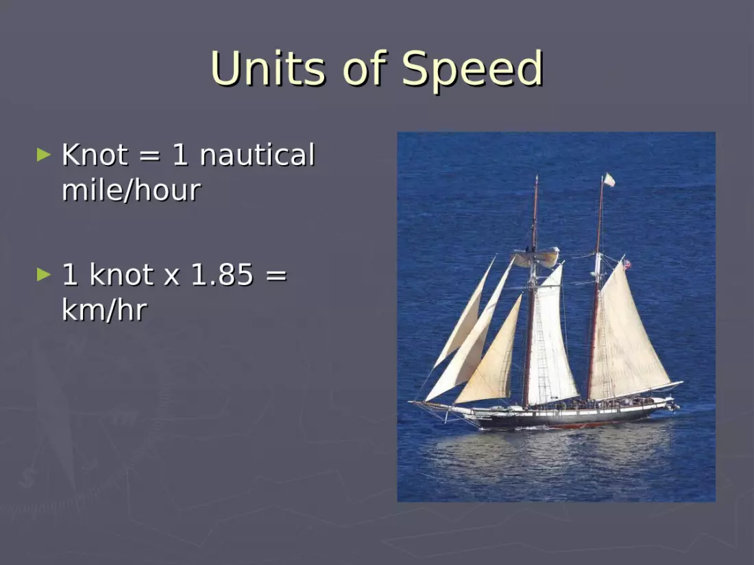
Units of SpeedUnits of Speed► Knot = 1 nautical Knot = 1 nautical
mile/hourmile/hour
► 1 knot x 1.85 = 1 knot x 1.85 = km/hrkm/hr
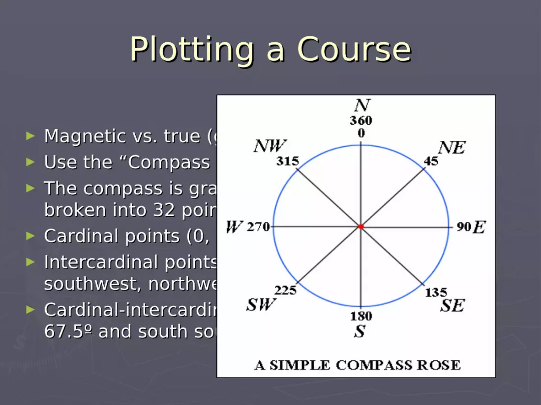
Plotting a CoursePlotting a Course
► Magnetic vs. true (geographic) NorthMagnetic vs. true (geographic) North► Use the “Compass rose” on the chartUse the “Compass rose” on the chart► The compass is graduated from 0º-360º and The compass is graduated from 0º-360º and
broken into 32 points on the compassbroken into 32 points on the compass► Cardinal points (0, 90, 180, 270 degrees)Cardinal points (0, 90, 180, 270 degrees)► Intercardinal points (northeast, southeast, Intercardinal points (northeast, southeast,
southwest, northwest)southwest, northwest)► Cardinal-intercardinal points (ie. east northeast = Cardinal-intercardinal points (ie. east northeast =
67.5º and south southeast = 157.5º)67.5º and south southeast = 157.5º)

Cont’Cont’
CourseCourse► Intended direction of travelIntended direction of travel► Expressed in degreesExpressed in degrees► However, influenced by winds, currents, and pilot errorHowever, influenced by winds, currents, and pilot error
HeadingHeading► The direction in which the ship is actually traveling The direction in which the ship is actually traveling
regardless of prescribed courseregardless of prescribed course
BearingBearing► Direction from one point to anotherDirection from one point to another► Expressed as an angle from NorthExpressed as an angle from North► Traditional expressed as relative parts of the vesselTraditional expressed as relative parts of the vessel
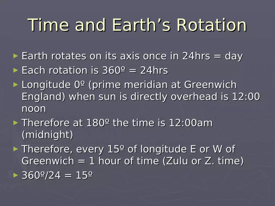
Time and Earth’s RotationTime and Earth’s Rotation► Earth rotates on its axis once in 24hrs = dayEarth rotates on its axis once in 24hrs = day► Each rotation is 360º = 24hrsEach rotation is 360º = 24hrs► Longitude 0º (prime meridian at Greenwich Longitude 0º (prime meridian at Greenwich
England) when sun is directly overhead is 12:00 England) when sun is directly overhead is 12:00 noonnoon
► Therefore at 180º the time is 12:00am Therefore at 180º the time is 12:00am (midnight)(midnight)
► Therefore, every 15º of longitude E or W of Therefore, every 15º of longitude E or W of Greenwich = 1 hour of time (Zulu or Z. time)Greenwich = 1 hour of time (Zulu or Z. time)
► 360º/24 = 15º360º/24 = 15º

D.R. NavigationD.R. Navigation► Also known as Dead Reckoning or “Ded” Also known as Dead Reckoning or “Ded”
ReckoningReckoning► Method of navigating using the following Method of navigating using the following
from a KNOWN position:from a KNOWN position:1.1. TimeTime2.2. SpeedSpeed3.3. DistanceDistance4.4. DirectionDirection► Note: Does not account for error or currentsNote: Does not account for error or currents
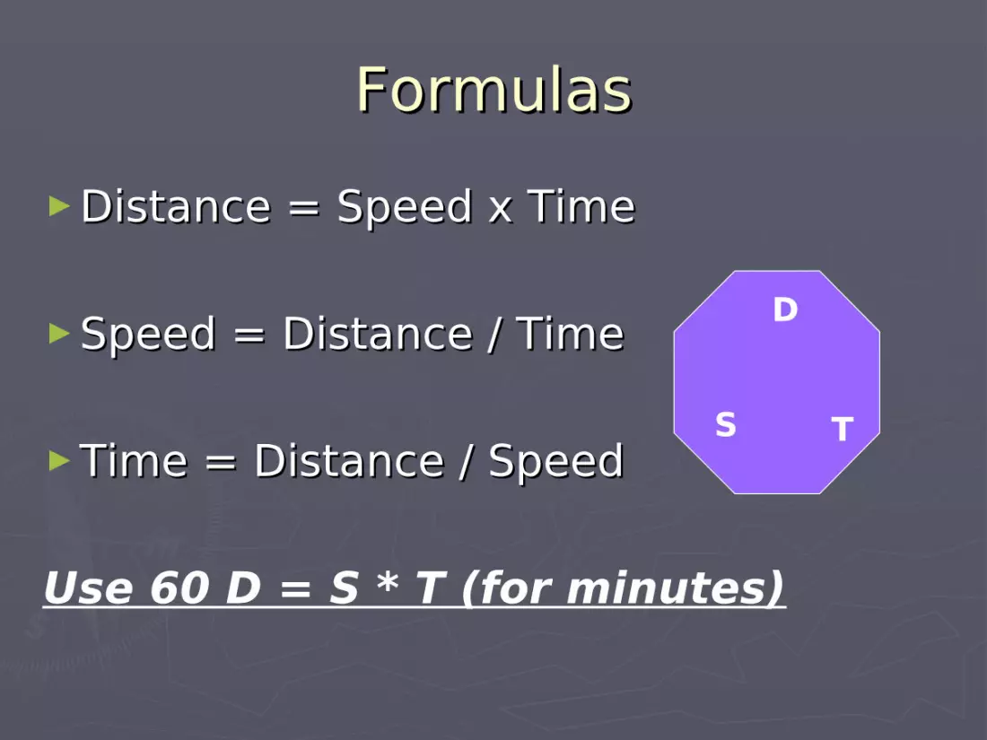
FormulasFormulas►Distance = Speed x TimeDistance = Speed x Time
►Speed = Distance / TimeSpeed = Distance / Time
►Time = Distance / SpeedTime = Distance / Speed
Use 60 D = S * T (for minutes)
D
S T


