Embed Size (px)
Citation preview
Participatory Three Dimensional Modeling (P3DM) with Communities in
Samoa, Pacific.
Yvette KerslakeMinistry of Natural Resources and Environment, SAMOACTA Open Seminar, Participatory Data: Public or Private,
Wednesday, 21 January 2015, Wageningen, The Netherlands
Presentation Outline
• Background Information: SamoaMNRE / ICCRIFS ProjectP3DM History, process for Implementation
• Generation of Open Data from P3DM• Issues / solutions• Conclusion / Recommendation
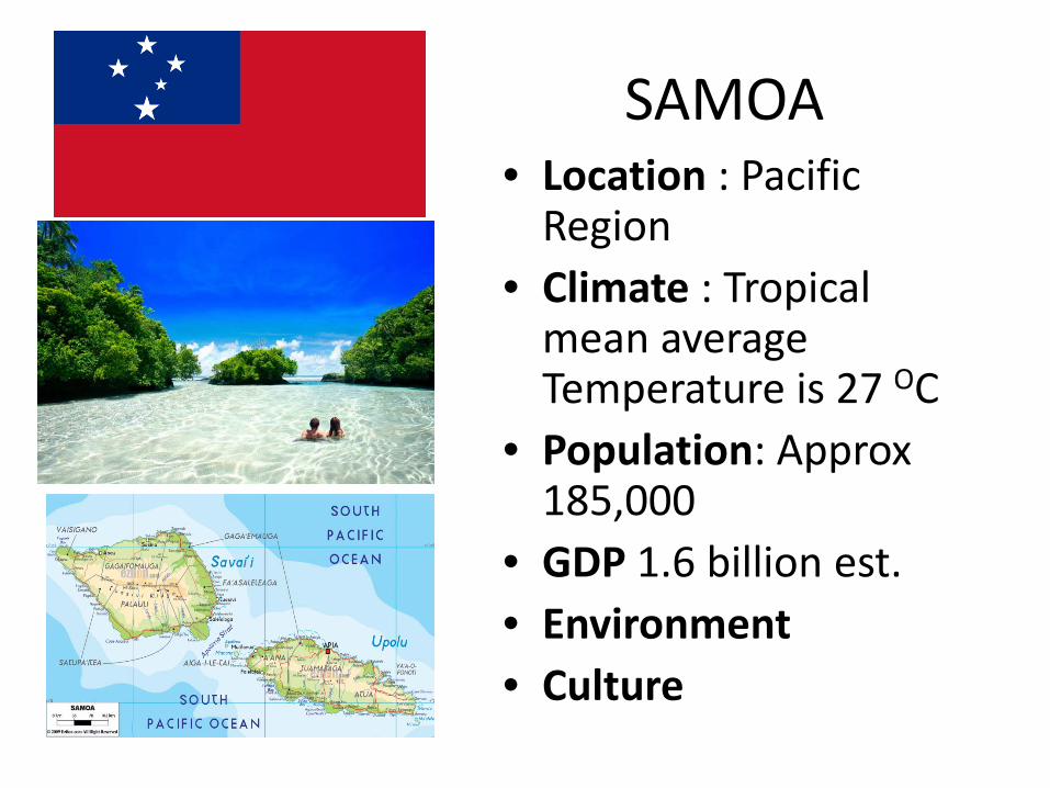
SAMOA• Location : Pacific Region
• Climate : Tropical mean average Temperature is 27 OC
• Population: Approx 185,000
• GDP 1.6 billion est.• Environment• Culture
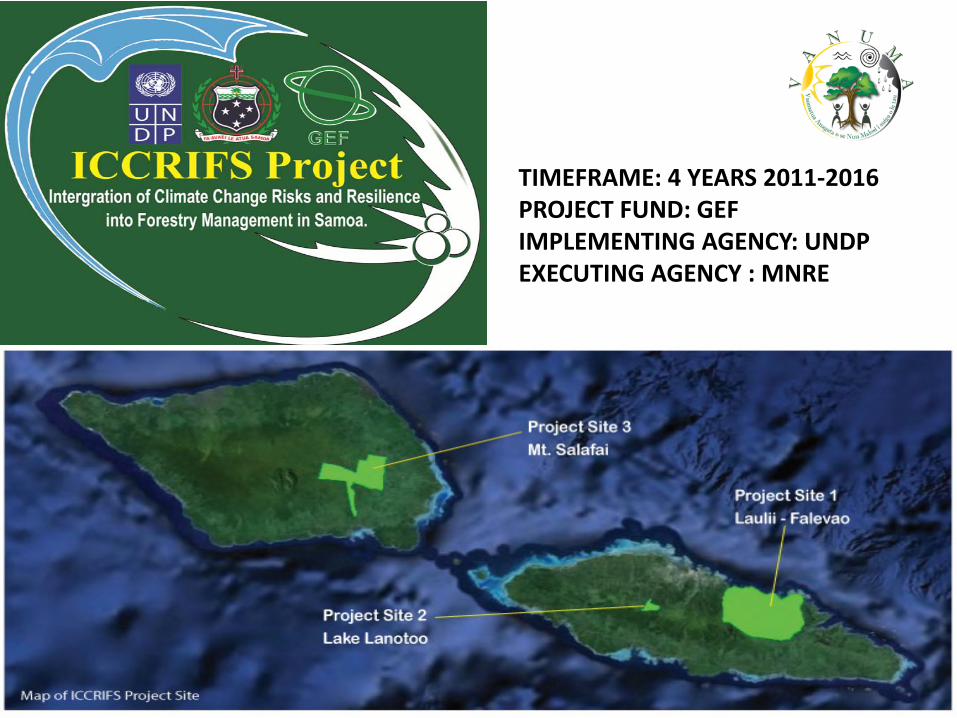
TIMEFRAME: 4 YEARS 2011‐2016PROJECT FUND: GEF IMPLEMENTING AGENCY: UNDPEXECUTING AGENCY : MNRE
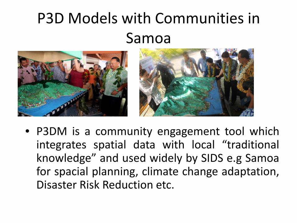
P3D Models with Communities in Samoa
• P3DM is a community engagement tool whichintegrates spatial data with local “traditionalknowledge” and used widely by SIDS e.g Samoafor spacial planning, climate change adaptation,Disaster Risk Reduction etc.
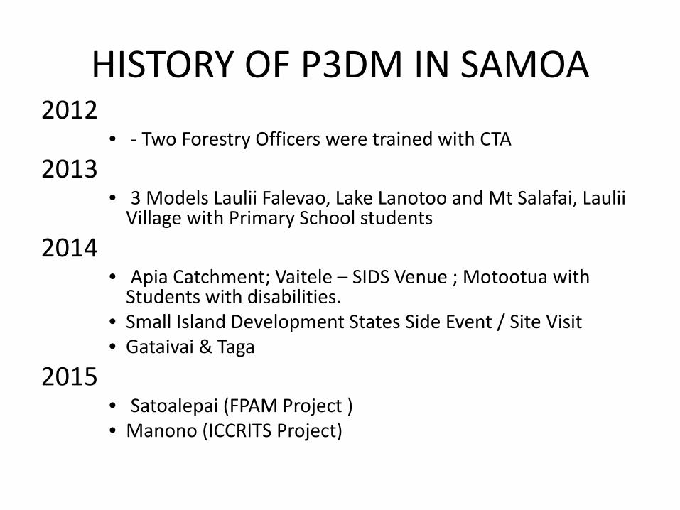
HISTORY OF P3DM IN SAMOA2012
• ‐ Two Forestry Officers were trained with CTA 2013
• 3 Models Laulii Falevao, Lake Lanotoo and Mt Salafai, Laulii Village with Primary School students
2014 • Apia Catchment; Vaitele – SIDS Venue ; Motootua with Students with disabilities.
• Small Island Development States Side Event / Site Visit• Gataivai & Taga
2015• Satoalepai (FPAM Project ) • Manono (ICCRITS Project)
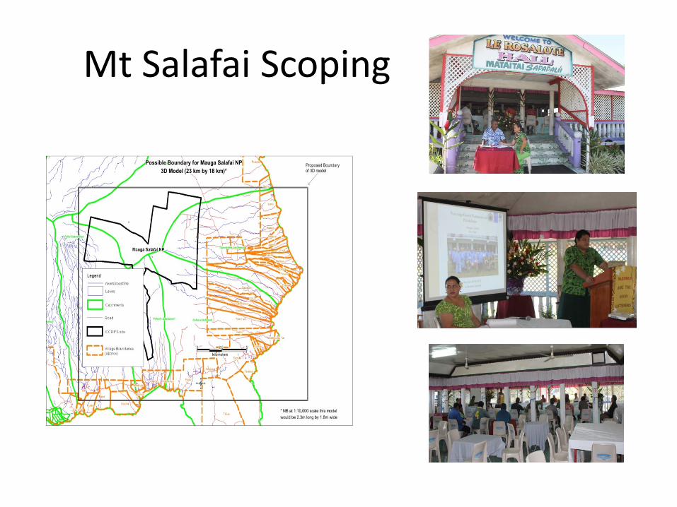
Mt Salafai Scoping
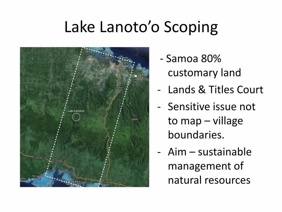
Lake Lanoto’o Scoping
‐ Samoa 80% customary land
‐ Lands & Titles Court‐ Sensitive issue not to map – village boundaries.
‐ Aim – sustainable management of natural resources
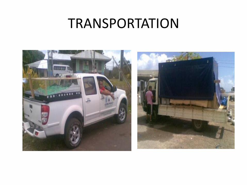
TRANSPORTATION
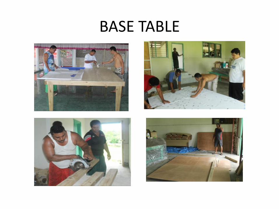
BASE TABLE
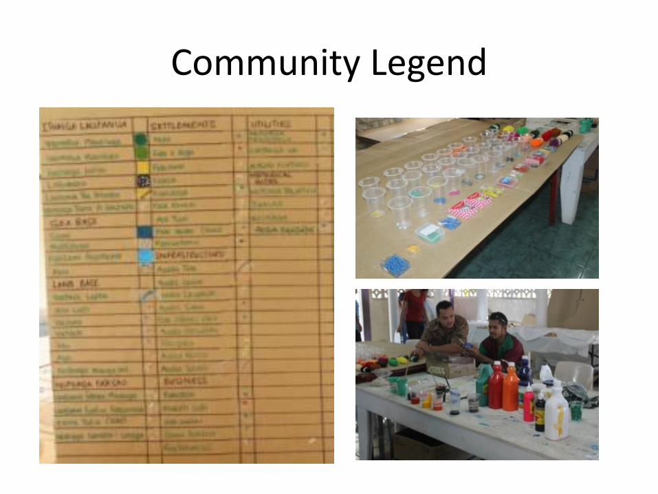
Community Legend
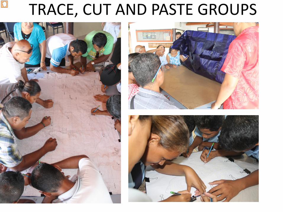
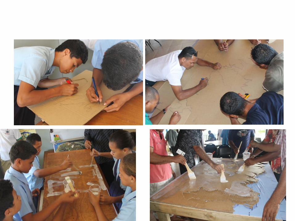
TRACE, CUT AND PASTE GROUPS
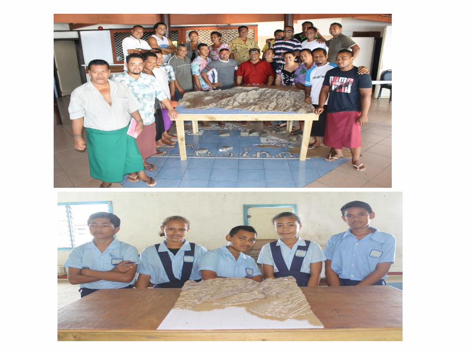
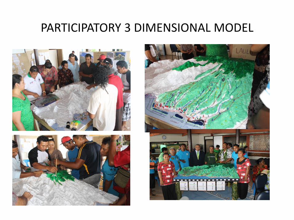
PARTICIPATORY 3 DIMENSIONAL MODEL
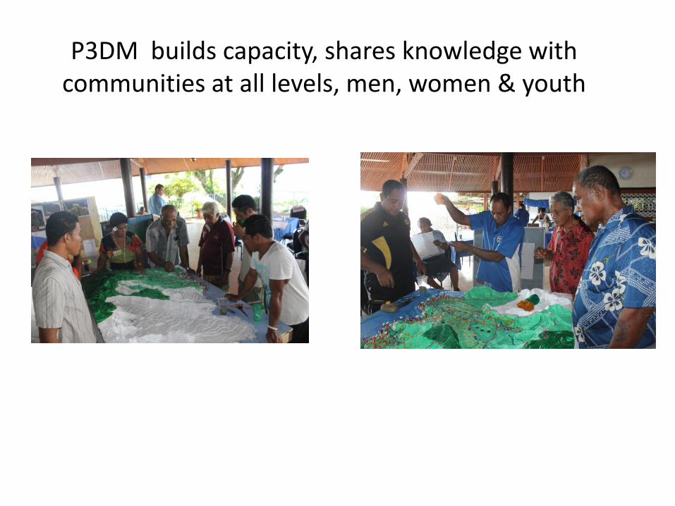
P3DM builds capacity, shares knowledge with communities at all levels, men, women & youth
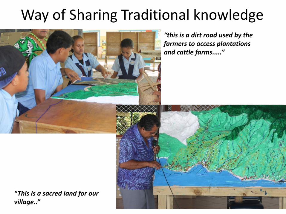
Way of Sharing Traditional knowledge“this is a dirt road used by the farmers to access plantations and cattle farms.....”
“This is a sacred land for our village..”
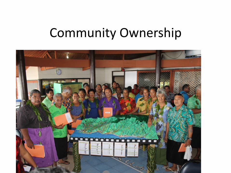
Community Ownership
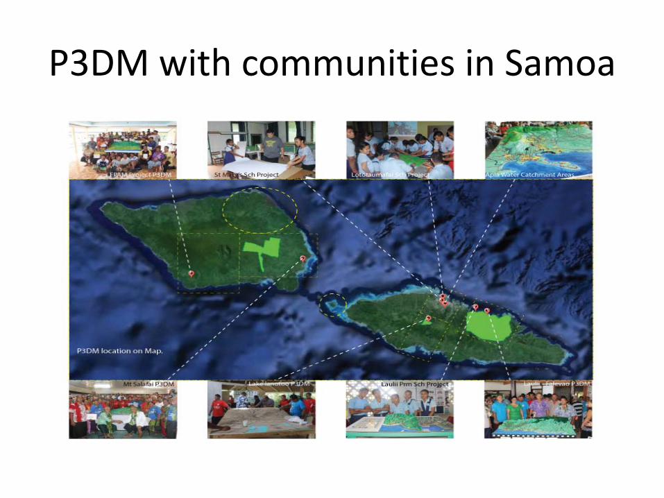
P3DM with communities in Samoa
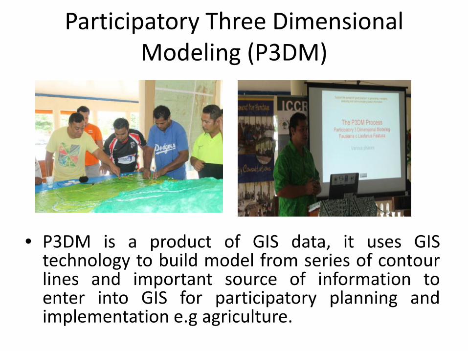
Participatory Three Dimensional Modeling (P3DM)
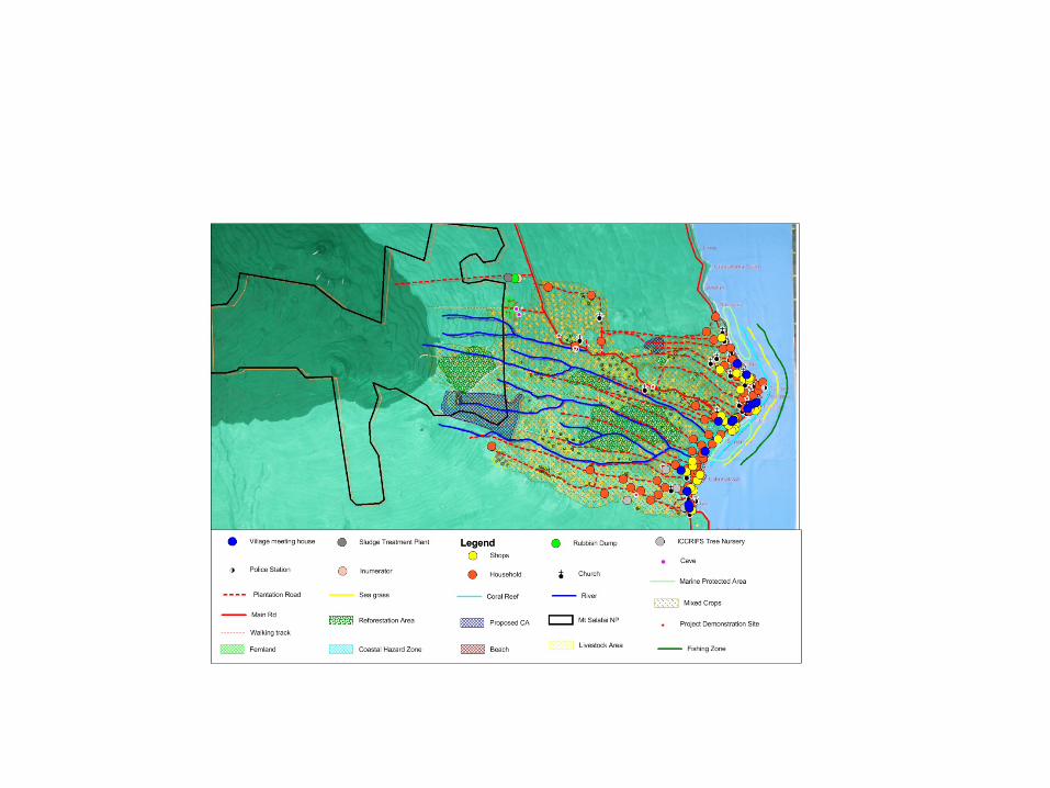
• P3DM is a product of GIS data, it uses GIStechnology to build model from series of contourlines and important source of information toenter into GIS for participatory planning andimplementation e.g agriculture.
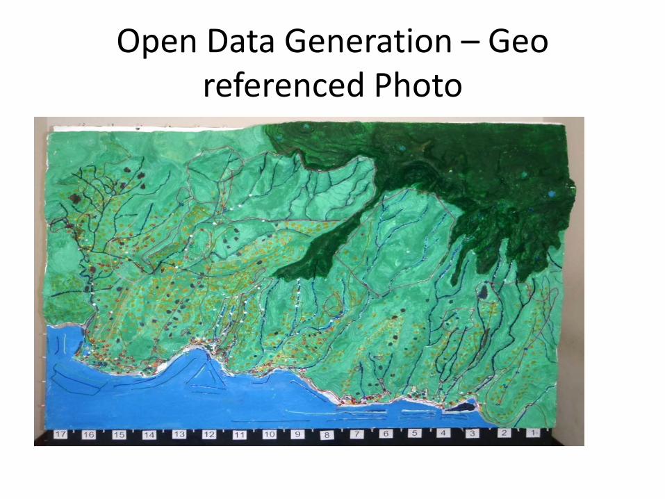
Open Data Generation – Geo referenced Photo
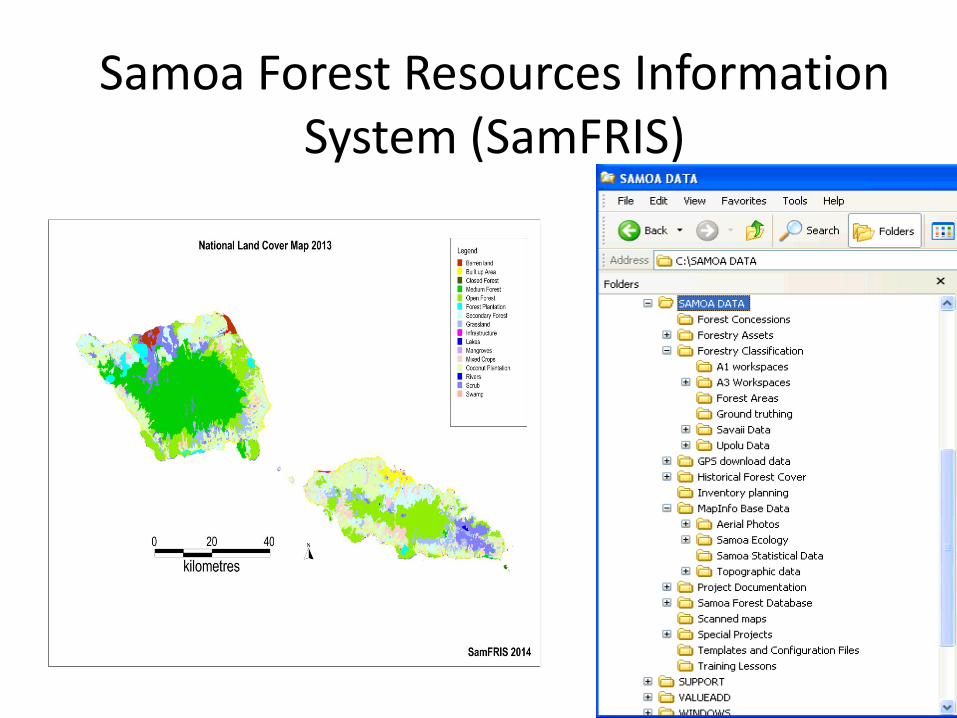
Samoa Forest Resources Information System (SamFRIS)
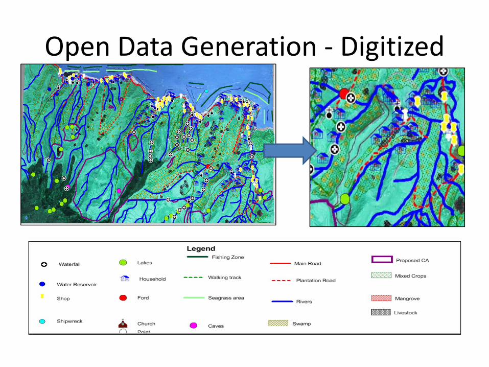
Open Data Generation ‐ Digitized
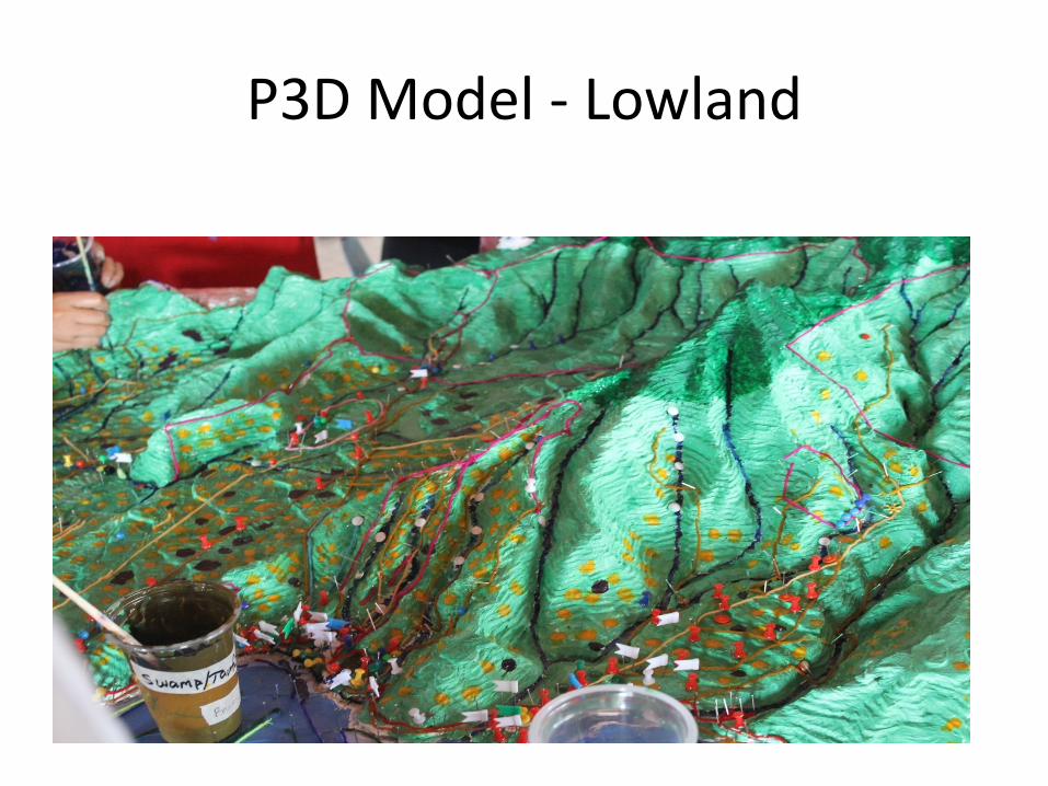
P3D Model ‐ Lowland
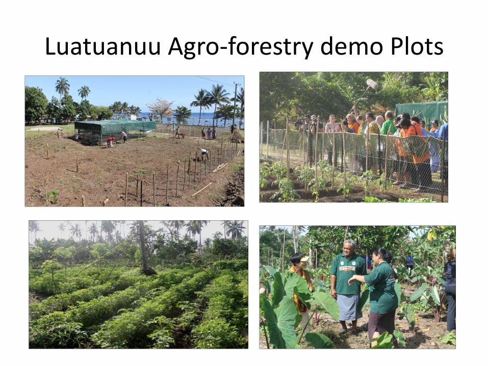
Luatuanuu Agro‐forestry demo Plots
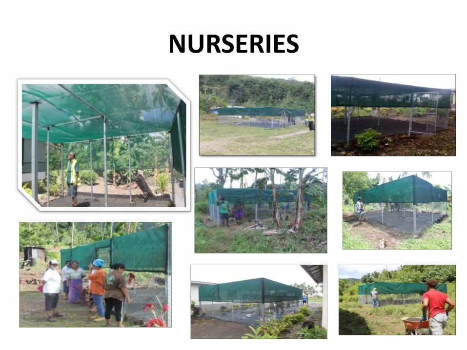
NURSERIES

P3D & Upland Conservation
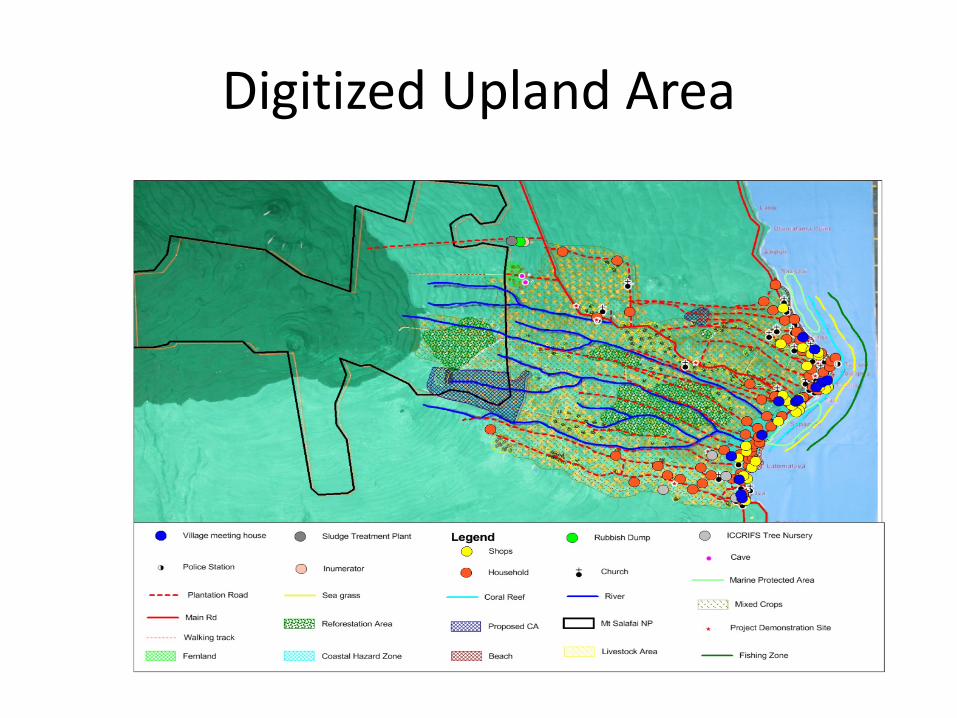
Digitized Upland Area
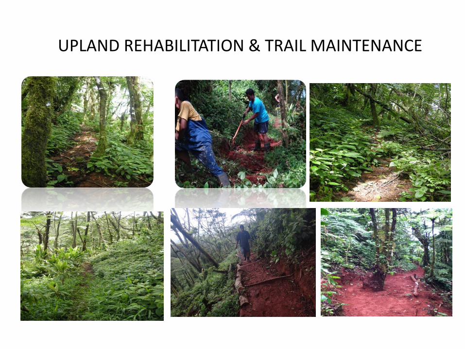
UPLAND REHABILITATION & TRAIL MAINTENANCE

Field Assistant’s
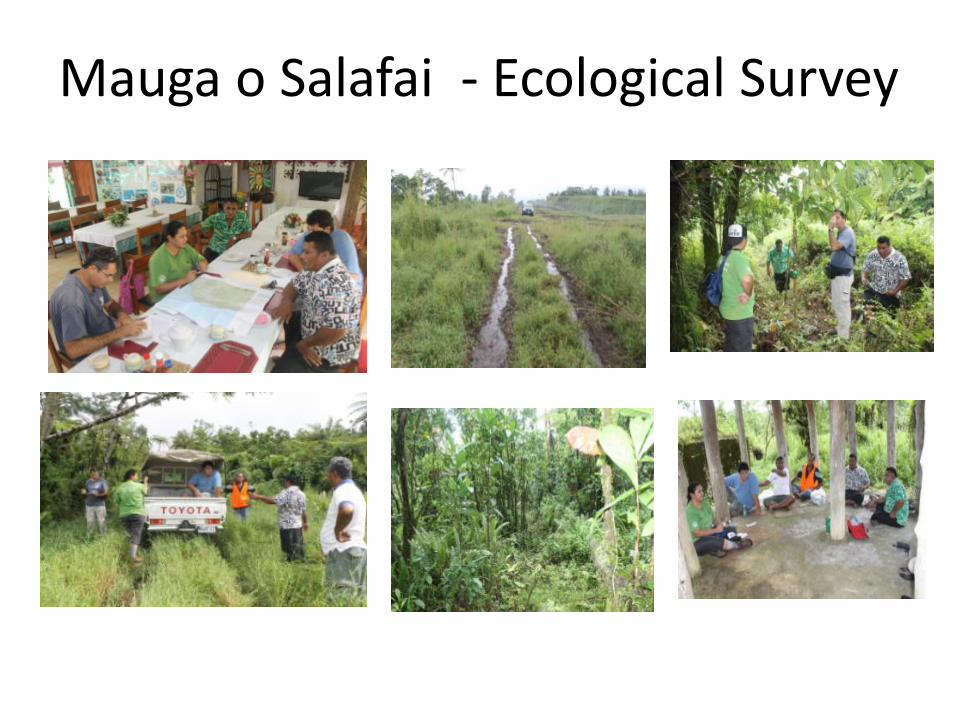
Mauga o Salafai ‐ Ecological Survey
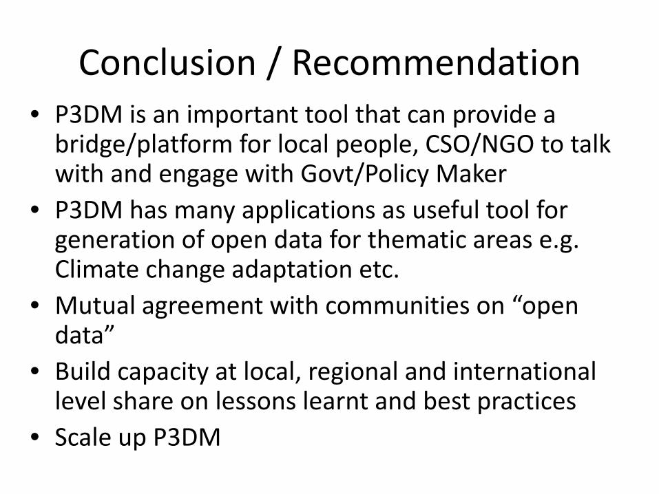
Conclusion / Recommendation• P3DM is an important tool that can provide a bridge/platform for local people, CSO/NGO to talk with and engage with Govt/Policy Maker
• P3DM has many applications as useful tool for generation of open data for thematic areas e.g. Climate change adaptation etc.
• Mutual agreement with communities on “open data”
• Build capacity at local, regional and international level share on lessons learnt and best practices
• Scale up P3DM
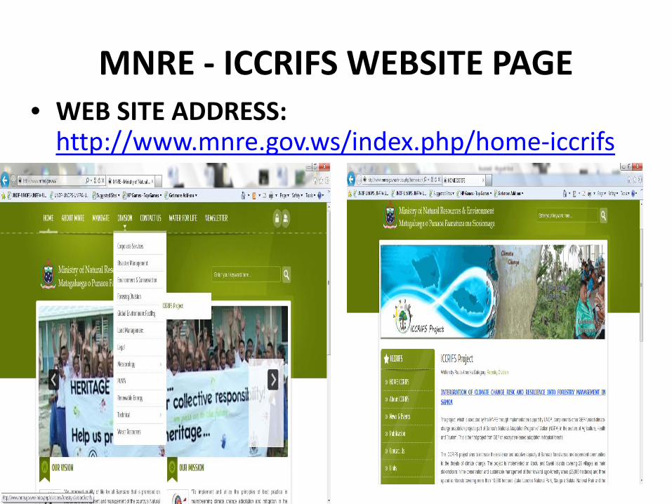
MNRE ‐ ICCRIFS WEBSITE PAGE• WEB SITE ADDRESS:http://www.mnre.gov.ws/index.php/home‐iccrifs
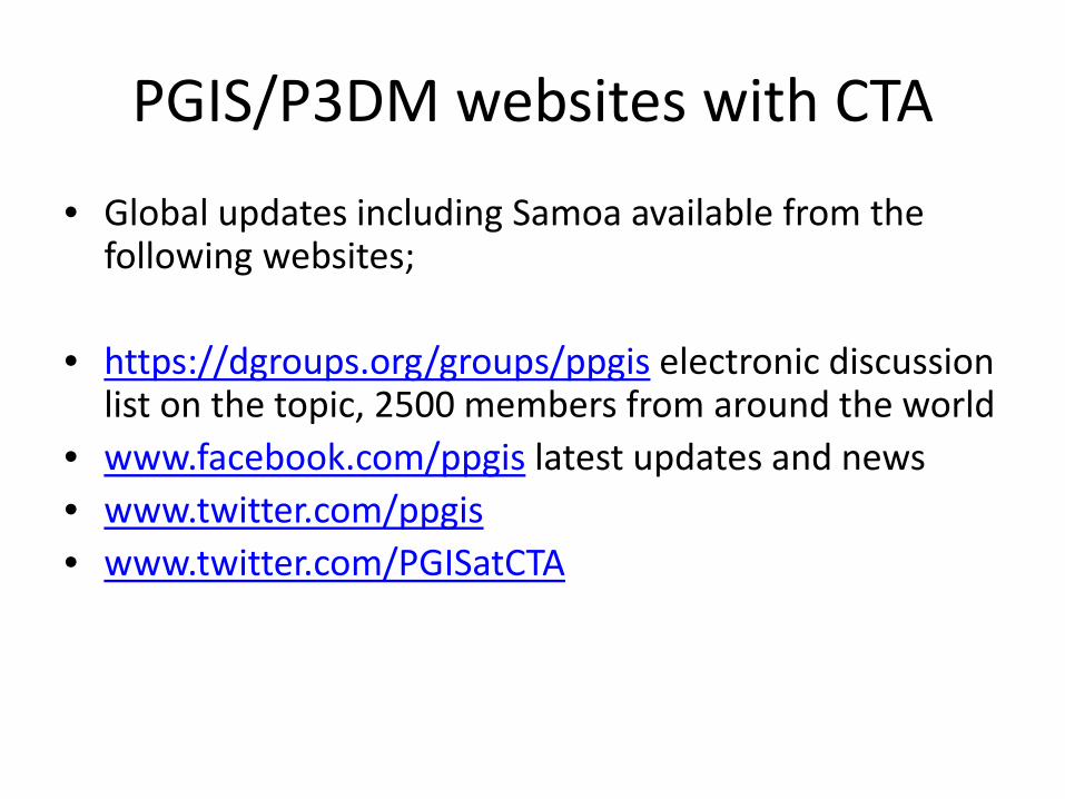
PGIS/P3DM websites with CTA
• Global updates including Samoa available from the following websites;
• https://dgroups.org/groups/ppgis electronic discussion list on the topic, 2500 members from around the world
• www.facebook.com/ppgis latest updates and news• www.twitter.com/ppgis• www.twitter.com/PGISatCTA

Thank You
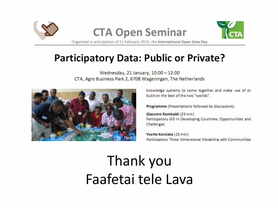
Thank youFaafetai tele Lava