Embed Size (px)
Citation preview
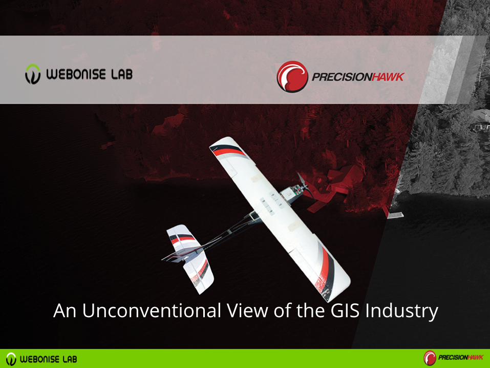
An Unconventional View of the GIS Industry

What Is GIS ?

"GIS technology is kind of like Google Earth, but beeetter."
Arnold Schwarzenegger01-Sep-2009- Conference on California’s Future.
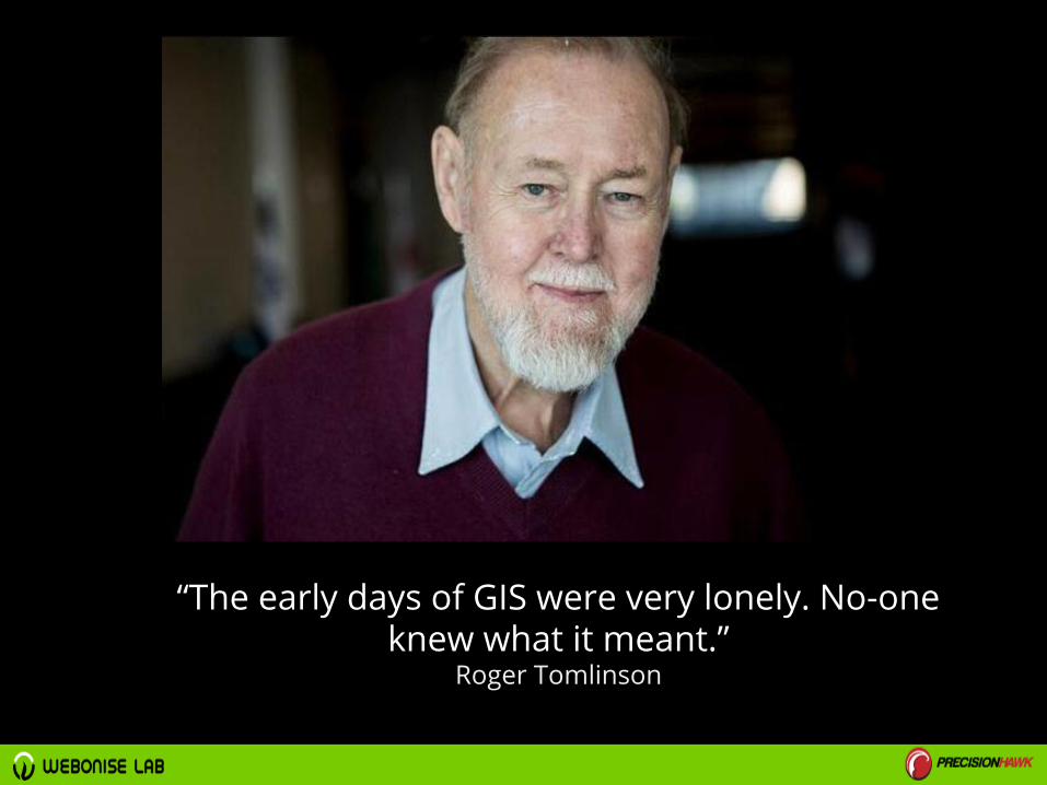
“The early days of GIS were very lonely. No-one knew what it meant.”
Roger Tomlinson

“I Make Maps, and Mapping Software.”Me
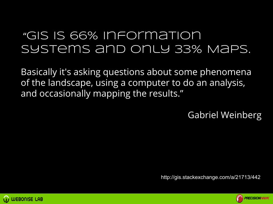
“GIS is 66% Information Systems and only 33% Maps.
Basically it's asking questions about some phenomena of the landscape, using a computer to do an analysis, and occasionally mapping the results.”
Gabriel Weinberg
http://gis.stackexchange.com/a/21713/442

Doing GIS means solving problems with
Spatial Components.
Mostly, you are finding Spatial
patterns, discovering Correlations,
querying, filtering & processing data,
spatial modelling and
Developing systems that use this
data in a Smart way

Spatial patterns

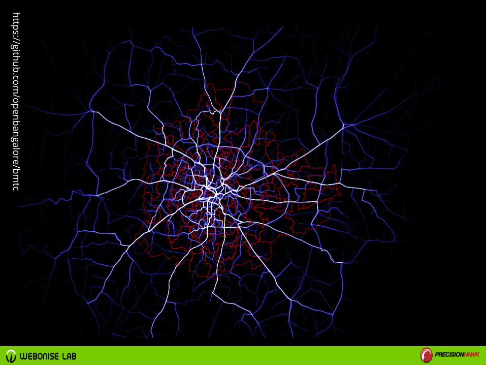
https://github.com/openbangalore/bm
tc
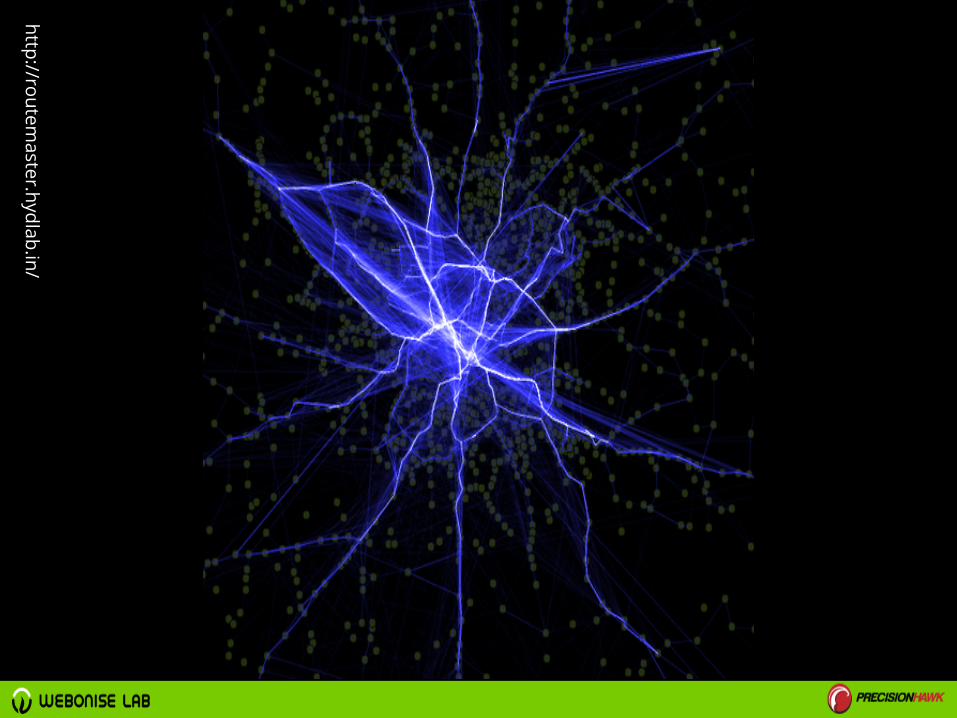
http://routemaster.hydlab.in/

Correlations
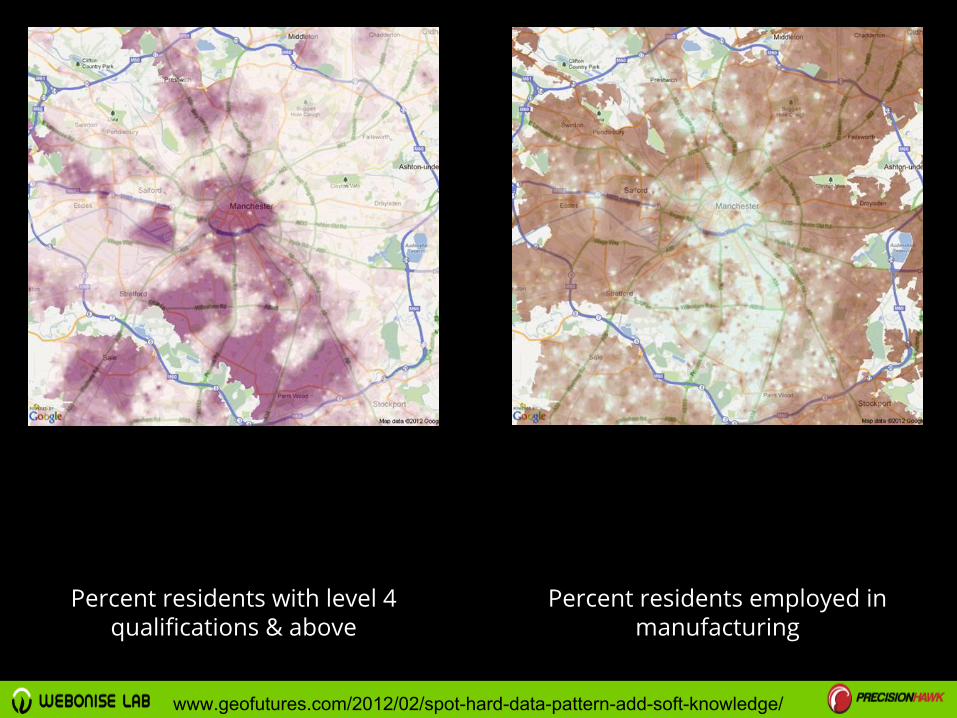
Percent residents with level 4 qualifications & above
Percent residents employed in manufacturing
www.geofutures.com/2012/02/spot-hard-data-pattern-add-soft-knowledge/
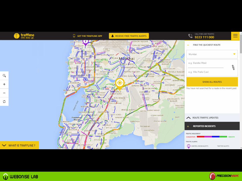
processing data


spatial modelling

SLEUTH modelwww.nasa.gov/centers/goddard/news/topstory/2004/0322sleuth.html

Applications

http://code.waag.org/buildings/


http://earth.nullschool.net


How Can you be A Part of
This?
Love Maps

Design

Quality
Play All the time
Keep Experimenting

Program

Always Be Learning

What Does the Future
Hold?
Big Data Analytics
Crowdsourced
Data

Internet of Things
UAV

PrecisionHawk, has pioneeredin Multi Sensor Based GeoSpatial Data in INDIA
End to end aerial data management and processing solution.
Better data for doing better business.

Image CreditsSlide 3: https://www.flickr.com/photos/evarinaldiphotography/9031269651/Slide 4: http://blogs.esri.com/esri/esri-insider/2014/02/14/roger-tomlinson-geographer/Slide15: EGIS-India, & Govt of Bihar


