Embed Size (px)
Citation preview
Greg Babinski King County GIS Center 201 South Jackson Street MS: KSC-NR-0706 Seattle WA 98104 206-263-3753 [email protected]
GIS KNOWLEDGE SHARING: USING THE WEB FOR OPEN BUSINESS TO PROMOTE REGIONAL GIS SUCCESS
Abstract: Successful GIS operation requires access to detailed technical knowledge in a wide variety of subjects. Many small and medium sized GIS operations struggle, and some fail, because of a lack of appropriate technical knowledge. This presentation outlines how and why King County GIS utilizes a web based GIS knowledge sharing system to conduct its business openly. Open business and structured knowledge sharing can be useful to improve internal operations, enhance GIS staff knowledge and level of professionalism, and promote the success of regional GIS.
INTRODUCTION The King County GIS (KCGIS) Center is a central service provider that supports GIS staff and users in 12 county departments and many outside regional agencies. KCGIS applies key principles to managing the services its offers to its clients. These key principles can be viewed as ‘critical success factors’ in gauging GIS effectiveness and efficiency. They include:
GIS is an information system (IS) that is based on a variety of information technology (IT) components and GIS-compatible data, plus trained personnel to develop, maintain, support, and operate the system.
GIS should be operated like a business, to both minimize unnecessary cost and ensure that value is delivered with the taxpayer resources entrusted to management.
GIS has value only when it supports the business functions of an organization.
GIS is more successful when its tools are placed in the hands of end business users.
GIS (or any other information system) reaches its full potential when it enables organizations to improve how they do their business.
GIS SUCCESS AND FAILURE GIS programs in many small departments and jurisdictions struggle, and some fail, for a variety of reasons. Most analysis of GIS program ‘success factors’ focuses on technology itself, or data development and maintenance, but access to the knowledge needed to utilize technology effectively is just as important.

Greg Babinski GIS Knowledge Sharing 2002 URISA Conference: October 29, 2002 Page 2 of 6 DATA SHARING Local GIS data sharing is a common practice in many regions. Agencies that share common geography, such as counties and the cities, towns, utilities, and districts within their borders, can benefit by sharing base data layers such as:
Cadastral Roads Streams Topography Political Boundaries
The primary benefit of regional data sharing is that agencies avoid duplicating costs to develop and maintain base data. The costs avoided by sharing data can be applied to agency specific data and applications. For example, a water utility can utilize the shared cadastral and road data as a base on which to depict its agency specific pipeline, meter, and valve data. Likewise, a fire district can utilize the shared roads data for an application to derive optimal routing for emergency equipment to each appropriate site within its jurisdiction. A secondary benefit of regional data sharing is the adoption of standard base data layers. This standardization promotes additional future data sharing by enabling agency-specific layers developed by multiple jurisdictions to be utilized by each other for unanticipated new business applications. Data sharing is a fairly well established practice that is perceived as a key factor to ensure viable GIS implementation and ongoing operation and maintenance. KNOWLEDGE SHARING Data is not the only resource that can be shared regionally. Success of GIS in county, municipal, or utility agencies requires staff competent to perform a wide variety of technical, business, analytical, and interpersonal functions. Competency is based on an individual’s knowledge, skills, and abilities (KSAs) related to performing a role to produce an output for the customers or clients of an organization. Dozens of GIS related competencies have been identified, and larger GIS organizations are comprised of staff who tend to specialize in the competencies needed to perform individual roles. For example, an ‘Application Development’ role requires computer-programming competency. A ‘Project Management’ role requires cost benefit analysis competency. Both roles require competency in GIS theory (Gaudet, Annulis, Carr, 2001). The skills and abilities associated with a given competency are learned and refined by an individual, based on their knowledge of the particular subject area. Being knowledgeable about a given subject is not a guarantee of competency, but it is a necessary first step to build competency. GIS professionals often need to expand their GIS-related competency to utilize new technology, solve a problem, or initiate a new program. Competency can

Greg Babinski GIS Knowledge Sharing 2002 URISA Conference: October 29, 2002 Page 3 of 6 also be improved, by refining techniques, improving skills, or applying best practices. Larger GIS organizations, with many staff members working in juxtaposition, are an ideal environment to improve individual and organizational competency. Expanded and improved competency, both for the team and for individual team members, should be a key management goal. However, many GIS professional and users work individually or in very small work groups. This is true of many city and county departments. In many cases a small rural county or suburban city may have just one GIS staff. For such agencies, access to the appropriate knowledge to utilize GIS technology effectively is an important success factor. KING COUNTY GIS KNOWLEDGE SHARING The KCGIS Center has developed a two-part Web based program to share detailed technical knowledge with GIS professionals and users, both within County government and in outside regional jurisdictions. The two components of KCGIS knowledge sharing are:
Open business Knowledge base
We believe this approach contributes in part to growing GIS development and success in county departments and in regional agencies. Open Business KCGIS Center organizes its Web site to provide detailed information (standards, design documentation, specifications, user data, etc.), about the specific resources (database management system, custom front-end and back-end applications, metadata, system components, etc.) and services it provides users. Advantages of this approach include:
KCGIS business is open to peer review, to promote internal best practices.
County GIS staff and users become more knowledgeable about the specific technical aspects of KCGIS, and tend to be more successful and efficient in their own applications.
KCGIS published standards are openly available and may become adopted by other agencies.
Key components of KCGIS use of the web to practice ‘Open Business’ include:
Web site organized to reflect KCGIS “Lines of Business”:
Greg Babinski GIS Knowledge Sharing 2002 URISA Conference: October 29, 2002 Page 4 of 6
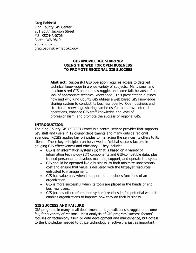
Frequent information about current GIS-related developments and issues:
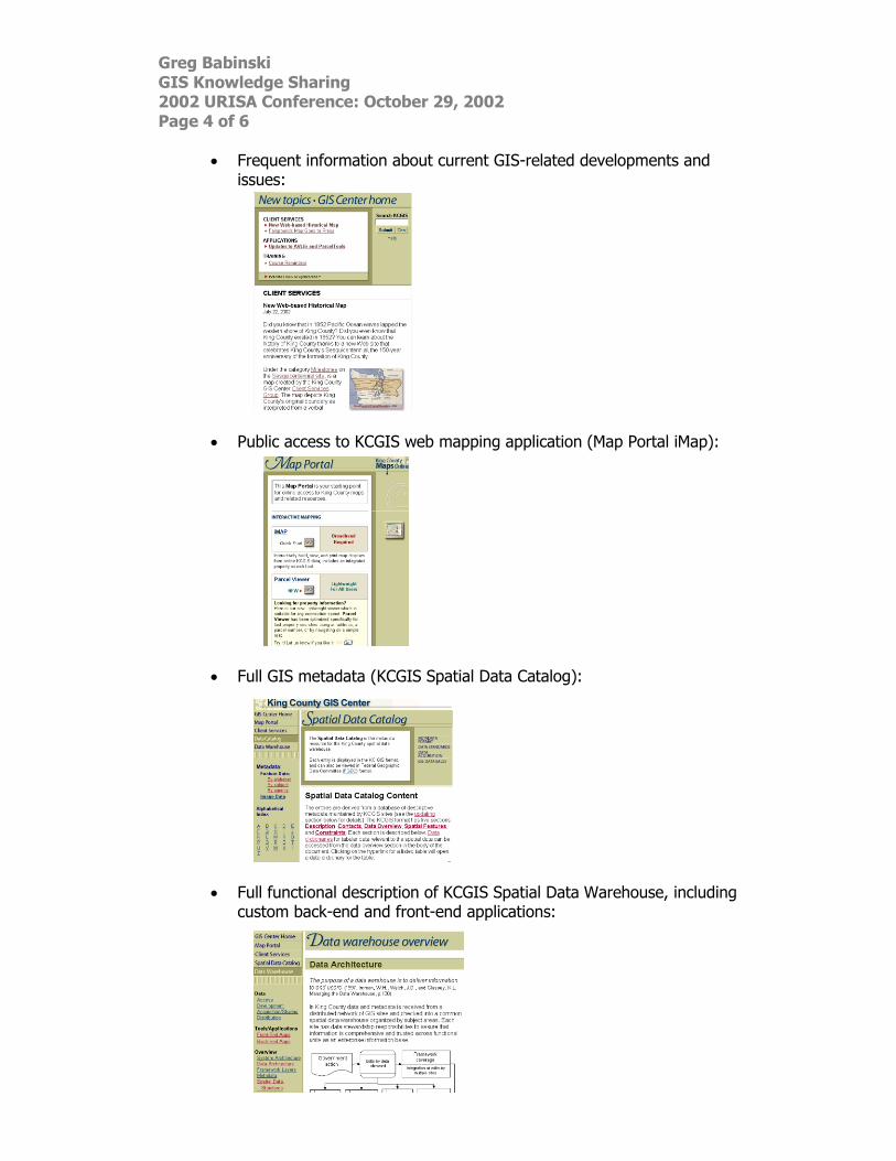
Public access to KCGIS web mapping application (Map Portal iMap):
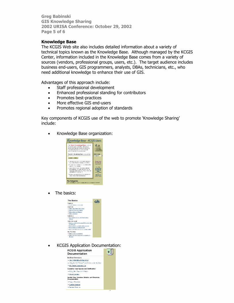
Full GIS metadata (KCGIS Spatial Data Catalog):
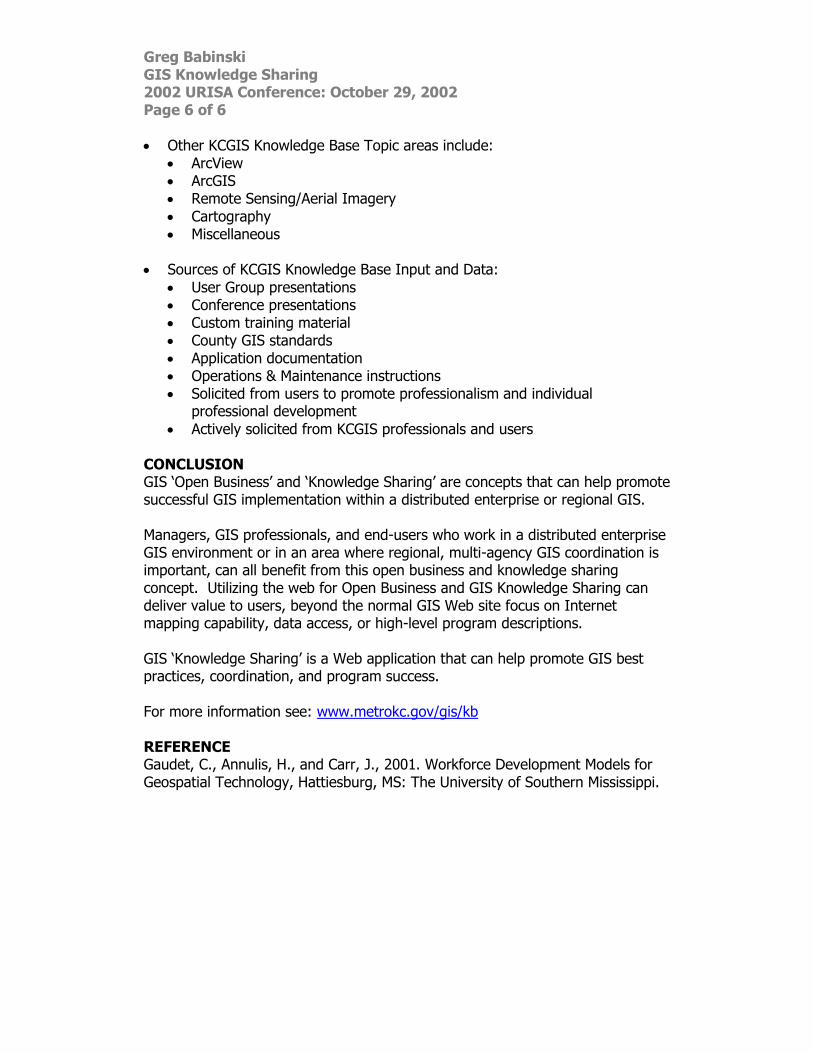
Full functional description of KCGIS Spatial Data Warehouse, including
custom back-end and front-end applications:
Greg Babinski GIS Knowledge Sharing 2002 URISA Conference: October 29, 2002 Page 5 of 6 Knowledge Base The KCGIS Web site also includes detailed information about a variety of technical topics known as the Knowledge Base. Although managed by the KCGIS Center, information included in the Knowledge Base comes from a variety of sources (vendors, professional groups, users, etc.). The target audience includes business end-users, GIS programmers, analysts, DBAs, technicians, etc., who need additional knowledge to enhance their use of GIS. Advantages of this approach include:
Staff professional development Enhanced professional standing for contributors Promotes best-practices More effective GIS end-users Promotes regional adoption of standards
Key components of KCGIS use of the web to promote ‘Knowledge Sharing’ include:
Knowledge Base organization:
The basics:
KCGIS Application Documentation:
Greg Babinski GIS Knowledge Sharing 2002 URISA Conference: October 29, 2002 Page 6 of 6 Other KCGIS Knowledge Base Topic areas include:
ArcView ArcGIS Remote Sensing/Aerial Imagery
Cartography Miscellaneous
Sources of KCGIS Knowledge Base Input and Data:
User Group presentations Conference presentations Custom training material County GIS standards Application documentation Operations & Maintenance instructions Solicited from users to promote professionalism and individual
professional development
Actively solicited from KCGIS professionals and users CONCLUSION GIS ‘Open Business’ and ‘Knowledge Sharing’ are concepts that can help promote successful GIS implementation within a distributed enterprise or regional GIS. Managers, GIS professionals, and end-users who work in a distributed enterprise GIS environment or in an area where regional, multi-agency GIS coordination is important, can all benefit from this open business and knowledge sharing concept. Utilizing the web for Open Business and GIS Knowledge Sharing can deliver value to users, beyond the normal GIS Web site focus on Internet mapping capability, data access, or high-level program descriptions. GIS ‘Knowledge Sharing’ is a Web application that can help promote GIS best practices, coordination, and program success. For more information see: www.metrokc.gov/gis/kb REFERENCE Gaudet, C., Annulis, H., and Carr, J., 2001. Workforce Development Models for Geospatial Technology, Hattiesburg, MS: The University of Southern Mississippi.


![Sharing economy: Bright and Dark [2015 GIS Slides Competition]](https://img.dokumen.tips/doc/110x75/55b1be61bb61ebb2208b458a/sharing-economy-bright-and-dark-2015-gis-slides-competition.jpg)
