Embed Size (px)
Citation preview

- “
:-
:-
-

FLOW OF PRESENTATION

Global Positioning System (GPS)
• The Global Positioning System (GPS) is a space-based satellite navigation system that provides location and time information in all weather conditions, anywhere on the earth.
• The system provides critical
capabilities to military, civil and
commercial users.
It is freely accessible to anyone with a GPS receiver.

Past view on GPS
• Bradford Parkinson, Roger L. Easton, and Ivan A. Getting are credited with inventing it.
• The GPS project was developed in 1973 to overcome the limitations of previous navigation systems
• GPS was created and realized by the U.S. Department of Defense (DoD) and was originally run with 24 satellites. It became fully operational in 1995.

OTHER NAVIGATION SYSTEMS
• Russia developed Russian Global Navigation Satellite System (GLONASS) in comparison to
GPS system
• European Union Galileo positioning system
• India's Indian Regional Navigation Satellite System and,
• Chinese Beidou Navigation Satellite System

Basic image on how GPS works….

DEVELOPMENT OF GPS
LORAN and the Decca Navigator were a base
concept for GPS, developed in the early 1940s
• In 1973, a meeting of about twelve military
officers at the Pentagon discussed the creation of
a Defense Navigation Satellite System (DNSS). It
was at this meeting that "the real synthesis that
became GPS was created.“
• Later that year, the DNSS program was
named Navstar

• Initially, the highest quality signal was reserved for military use, and the signal available for civilian use was intentionally degraded.
• This changed with President Bill Clinton ordering Selective Availability to be turned off.
• GPS is owned and operated by the United States Government .
• On February 10, 1993, the National Aeronautic Association selected the GPS Team as winners of the 1992 Robert J. Collier Trophy, the nation's most prestigious aviation award.

Model of GPS• Unlaunched GPS block II-A satellite on
display at the San Diego Air & Space Museum.

• The current GPS consists of three major segments. These are the space segment (SS), a control segment (CS), and a user segment (US).
• The U.S. Air Force develops, maintains, and operates the space and control segments.
• GPS satellites broadcast signals from space, and each GPS receiver uses these signals to calculate its three-dimensional location (latitude, longitude, and altitude) and the current time.

• The space segment is composed of 24 to 32
satellites
• The control segment is
composed of a master
control station
• The user segment is composed of hundreds of
thousands of U.S. and allied military users of the
secure GPS Precise Positioning Service, and tens
of millions of civil, commercial, and scientific
users of the Standard Positioning Service

SPACE SEGMENT
• The space segment (SS) is composed of the orbiting GPS satellites,
or Space Vehicles (SV)
in GPS parlance.
• The GPS design originally
called for 24 SVs, eight each
in three approximately circular orbits.
• But this was modified to six orbital planes with four satellites each.
• The six orbit planes have approximately 55°inclination with respect to the equator of the earth.

• The orbital period is one-half a sidereal day i.e, (11 hours and 58 minutes) so that the satellites pass over the same locations or almost the same locations every day.
• The orbits are arranged so that at least six satellites are always within line of sight from almost everywhere on Earth's surface
• As of there are 32 satellites in the GPS constellation.
• With the increased number of satellites, the constellation was changed to a non-uniform arrangement. Such an arrangement was shown to improve reliability and availability of the system

CONTROL SEGMENT
• The control segment is composed of:
I. A master control station (MCS),
II. An alternate master control station,
III. Four dedicated ground antennas, and
IV. Six dedicated monitor stations.
The MCS can also access U.S. Air Force Satellite Control Network (AFSCN) ground antennas (for additional command and control capability)

• . The flight paths of the satellites are tracked by dedicated U.S. Air Force monitoring stations in Hawaii, Kwajalein Atoll, Ascension Island, Diego Garcia, Colorado Springs, Colorado and Cape Canaveral, along with shared NGA monitor stations operated in England, Argentina, Ecuador, Bahrain, Australia and Washington DC.
The tracking information is sent to the Air Force Space Command MCS at

USER SEGMENT
• The user segment is composed of hundreds of
thousands of U.S. and allied military users of
the secure GPS Precise Positioning Service, and
tens of millions of civil, commercial and
scientific users of the Standard Positioning
Service.
• In general, GPS receivers are composed of an
antenna, tuned to the frequencies transmitted by
the satellites, receiver-processors.

• A receiver is often described by its number of
channels: this signifies how many satellites it
can monitor simultaneously, receivers typically
have between 12 and 20 channels
• Receivers can interface with other devices using
methods including a serial connection, USB,
or Bluetooth
• A typical GPS
receiver with
integrated antenna.

APPLICATIONS
• Used by military and civilians also
Used in surveying , surveyors use absolute
locations to make maps and determine
property boundaries.
Also used for astronomy.
Also used for geotagging.

To find routes through GPS.
In automated vehicle to
function without human driver.
Used in cartography
Disaster relief or emergency services also
depend upon GPS for location and timing
capabalities
It is also used to measure the speed of wind,
atmospheric pressure , direction of wind.

Also used for aircraft tracking.
Used in making robots which can self-navigate
using GPS.
Used in mining.
Pet tracking systems use GPS to locate a pet. These devices are attached to the pet collar.
GPS used for surveying is
shown in this image.

• This antenna is
mounted on the
roof of a hut containing
a scientific experiment
needing precise timing.


MORE USES OF GPS
• GOOGLE CAR , fully
operated by GPS
• SECURITY, tracking of
stolen things
• GPS in school and college bus.
• Target tracking, aerial weapon handling

• Search and rescue operation

IMAGES SHOWING ROUTES THROUGH GPS USING DEVICE
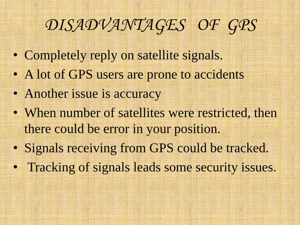
DISADVANTAGES OF GPS
• Completely reply on satellite signals.
• A lot of GPS users are prone to accidents
• Another issue is accuracy
• When number of satellites were restricted, then
there could be error in your position.
• Signals receiving from GPS could be tracked.
• Tracking of signals leads some security issues.

Video explaining basic’s of GPS
REFRENCES:-
WWW.GOOGLE.COM
WWW.WIKIPEDIA.ORG
WWW.TARGETSTUDY.COM
WWW.EHOW.COM
WWW.TRAILS.COM


![GPS[Global Positioning System]](https://img.dokumen.tips/doc/110x75/55d4dcedbb61ebca1d8b4633/gpsglobal-positioning-system-55d6c4def19ba.jpg)


![GPS [ Global Positioning System ]](https://img.dokumen.tips/doc/110x75/5594407a1a28abde5b8b483f/gps-global-positioning-system-.jpg)