Embed Size (px)
Citation preview

Macatawa Watershed History
Source: Macatawa Watershed Management Plan 2012

Presettlement Land Cover and EcoclogyBefore 1847, historical records indicate the area of the Macatawa Watershed was covered with a dense forest of gigantic trees some of which were 6ft across. These forests contained mostly birch, sugar maple and hemlock.

There were also significant number of wetlands including bogs, marshes and swamps.

Animals in the Presettlement Macatawa WatershedIn the 1800s there was an immense diversity of animals such as: wolves, bobcats, bears, beaver, muskrat and otter. Birds included: bald eagles, hawks, falcons and a large number of passenger pigeons. Snakes were also plentiful in the marshes. Walleye, Pike muskellunge, bass and perch were the main fish and were harvested in great numbers by settlers.

History
When Dutch settlers arrived in the 1840s they worked hard to drain the marshy land for farming, traveling and to reduce the mosquito population.
It took approximately 10 years to significantly reduce the forested land within the watershed and by 1855 the native Ottawa Indians were driven from the area.
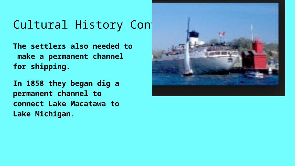
Cultural History Continued
The settlers also needed to make a permanent channel for shipping.
In 1858 they began dig a permanent channel to connect Lake Macatawa to Lake Michigan.
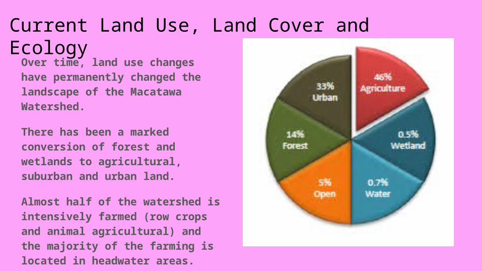
Current Land Use, Land Cover and Ecology
Over time, land use changes have permanently changed the landscape of the Macatawa Watershed.
There has been a marked conversion of forest and wetlands to agricultural, suburban and urban land.
Almost half of the watershed is intensively farmed (row crops and animal agricultural) and the majority of the farming is located in headwater areas.

The loss of natural land, especially wetlands, is an important historical factor affecting the current state of watershed.
Approximately 86%
of the original wetlands
have been lost to agriculture
and urban development.
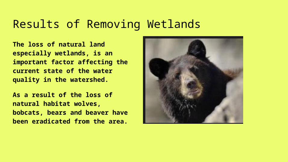
Results of Removing Wetlands
The loss of natural land especially wetlands, is an important factor affecting the current state of the water quality in the watershed.
As a result of the loss of natural habitat wolves, bobcats, bears and beaver have been eradicated from the area.

Results of removing Wetlands Continued
Invasive plant species such as: purple loosestrife, multiflora rose, garlic mustard, nightshade, narrowleaved cattail, autumn olive, bull thistle, common teasel, common buckthorn, glossy buckthorn, Japanese barberry and phragmites have moved into the area.
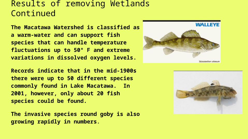
Results of removing Wetlands ContinuedThe Macatawa Watershed is classified as a warm-water and can support fish species that can handle temperature fluctuations up to 50° F and extreme variations in dissolved oxygen levels.
Records indicate that in the mid-1900s there were up to 50 different species commonly found in Lake Macatawa. In 2001, however, only about 20 fish species could be found.
The invasive species round goby is also growing rapidly in numbers.

Results of removing Wetlands Continued
Since road stream crossings are often problematic for water quality, the crossings in the Macatawa Watershed have been periodically surveyed in 2004 (Cameron and Hall 2004) and 2008 (Fales 2009) for nonpoint source pollution issues and erosion risk.
The 2008 survey results indicate that of the 121 road stream crossings surveyed, 10% were considered high risk for erosion and 39% were considered a moderate risk for erosion.

Dredging Lake Macatawa
Parts of Lake Macatawa become filled with sediment from erosion causing a decrease in lake depth.
This decrease in depth can make shipping difficult, so Lake Macatawa and the channel to Lake Michigan are dredged periodically. Some areas every 10 years, others every 2-5 years.
The sediment hauled away and stored in a regulated containment facility, because it can potentially contain harmful substances that have accumulated and settled to the bottom of the lake.

Historically called Black Lake, it was renamed Lake Macataw in 1935 after the Ottawa word for black (maw-kaw-te-waw). The main river flowed slowly through the heavily forested watershed. The leaves ending up in the lake released tanins which made the lake appear black when viewed up from above, but the water was clean.
It wasn’t until the watershed was largely drained and deforested after European Settlement that the water began appearing brown and murky.

Storm waterThe storm water drainage system throughout the Macatawa Watershed is a separate storm sewer system that is owned and operated by a number of agencies in Holland and Zeeland
In a separate storm sewer system (MS4) drainage system wastewater and storm water is drained by separate pipes.
The wastewater is carried to the local wastewater treatment plant while the storm water is discharged to the nearest surface water via storm water outfalls.
(Storm water is NOT treated by the water treatment plant)
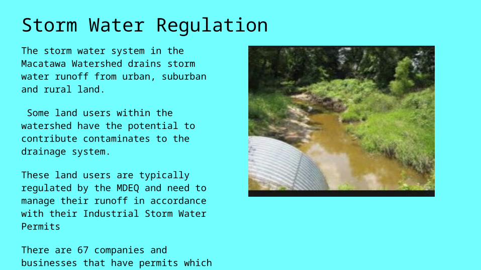
Storm Water RegulationThe storm water system in the Macatawa Watershed drains storm water runoff from urban, suburban and rural land.
Some land users within the watershed have the potential to contribute contaminates to the drainage system.
These land users are typically regulated by the MDEQ and need to manage their runoff in accordance with their Industrial Storm Water Permits
There are 67 companies and businesses that have permits which allows their runoff go into the storm water system and they are regulated by the MDEQ.
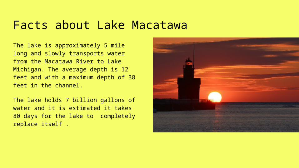
Facts about Lake MacatawaThe lake is approximately 5 mile long and slowly transports water from the Macatawa River to Lake Michigan. The average depth is 12 feet and with a maximum depth of 38 feet in the channel.
The lake holds 7 billion gallons of water and it is estimated it takes 80 days for the lake to completely replace itself .