SR 516 Corridor Planning Study
South County Area Transportation BoardPolicy Board
June 19, 2012
Paula HammondSecretary of Transportation
Steve ReinmuthChief of Staff
David Dye Deputy Secretary
Tom WashingtonUrban Planning Office

Overview
• Background
• Study Goals and Objectives
• Stakeholders
• Safety Analysis
• Traffic Conditions
• Railroad Analysis
• Moving Washington
• Needs and Recommendations Criteria
• Summary of Recommendations
• Next steps
2

Background• Origin: 2010 Legislature directed WSDOT to evaluate and develop recommendations to
address preservation, safety, and mobility issues on SR 516 between SR 167 and SR 169
• Focus Issues: Congestion, safety, RR crossings effect on traffic flow
• Funding: $150,000 (2010 legislature)
• Schedule: Summer 2010 - Summer 2012
• Project website: www.wsdot.wa.gov/planning/Studies/SR516Corridor/
3
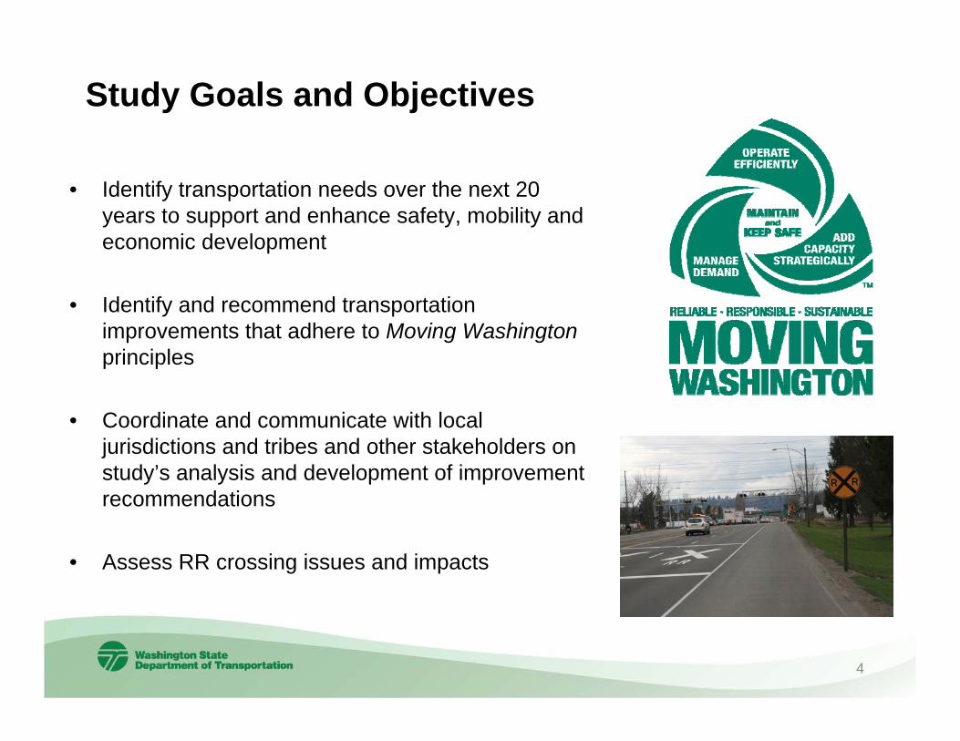
• Identify transportation needs over the next 20 years to support and enhance safety, mobility and economic development
• Identify and recommend transportation improvements that adhere to Moving Washington principles
• Coordinate and communicate with local jurisdictions and tribes and other stakeholders on study’s analysis and development of improvement recommendations
• Assess RR crossing issues and impacts
Study Goals and Objectives
4
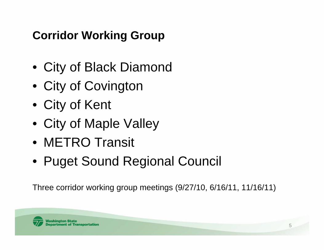
Corridor Working Group
• City of Black Diamond• City of Covington• City of Kent• City of Maple Valley• METRO Transit• Puget Sound Regional Council
Three corridor working group meetings (9/27/10, 6/16/11, 11/16/11)
5

Target Zero• Directs WSDOT to attain zero fatal and serious injury traffic collisions by
2030.• Focus on: Education, Enforcement, Engineering, Emergency Medical
Service• WSDOT utilizes:
Collision Analysis Corridor (CAC)- 5 mile segment - 11 or more fatal or serious injury collisions- Last 5 years of collision data
Collision Analysis Location (CAL)- ¼ mile analysis- 6 or more evident injury collisions- 4 or more fatal and serious injuries- Last 5 years of collision data
• No identified Collision Analysis Corridor or Collision Analysis Locations
Safety Analysis (January 1, 2005 to December 31, 2009)
6

Intersection Analysis Location (IAL)- generated from fatal, serious, and evident injury collisions at the
intersection during a five-year period- ranks the intersections by the societal costs and speed limits- list of prioritized safety improvement needs
There are no listed IALs within the study corridor *
* 2009 list
Safety Analysis (continued)
7
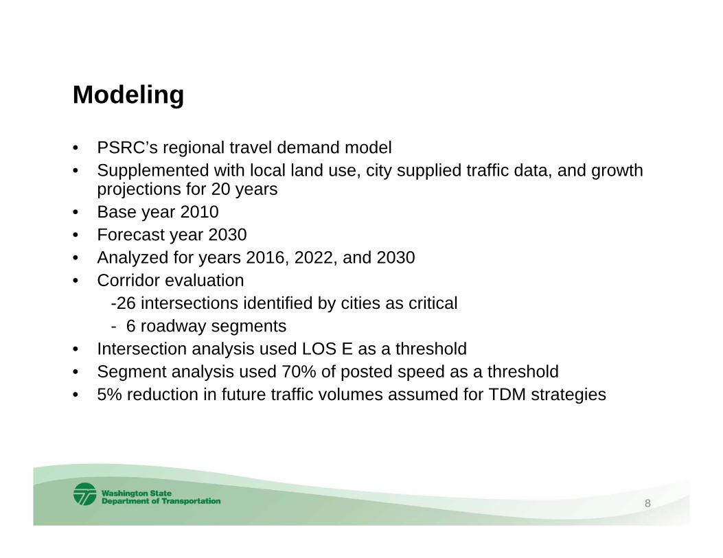
Modeling
• PSRC’s regional travel demand model• Supplemented with local land use, city supplied traffic data, and growth
projections for 20 years• Base year 2010• Forecast year 2030• Analyzed for years 2016, 2022, and 2030 • Corridor evaluation
-26 intersections identified by cities as critical- 6 roadway segments
• Intersection analysis used LOS E as a threshold• Segment analysis used 70% of posted speed as a threshold• 5% reduction in future traffic volumes assumed for TDM strategies
8

Traffic Volumes
Average daily traffic volumes (2011*)•SR 167 to SR 515 (104th Ave SE): 15,000 – 38,000•SR 515 to 132nd Ave SE: 26,000 – 36,000•132nd Ave SE to SR 18: 26,000 – 38,000 •SR 18 to SR 169: 12,000 – 27,000
*based on 2011 WSDOT Annual Traffic Report
9

Intersections Analyzed
10
26 Intersections-13 in Kent- 9 in Covington- 4 in Maple Valley

Corridor Segment Analysis – Traffic Speeds
11

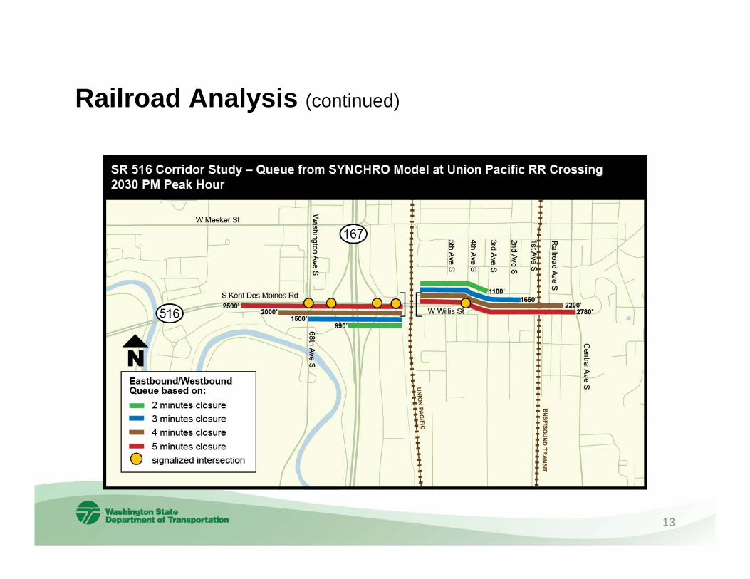
Railroad Analysis•Two railroads, UP and BNSF, traverse study corridor
•Union Pacific RR is the closest to the SR 167 interchange area
•Modeled scenarios included RR gate closure times of two, three, four and five minutes
•Five minutes closures were estimated to occur less than 5% of the time
•Five minutes closure time during PM peak in 2030 (worst case scenario) indicated 2-3 minutes average delay per vehicle, queues could reach one half mile in length
•Final report will call for further analysis of RR operations and SR 167 ramps if additional improvements made to SR 167 in the future
12
Railroad Analysis (continued)
13
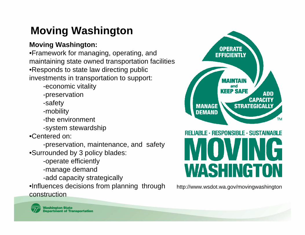
Moving Washington Moving Washington:•Framework for managing, operating, and maintaining state owned transportation facilities•Responds to state law directing public investments in transportation to support:
-economic vitality-preservation-safety-mobility-the environment -system stewardship
•Centered on:-preservation, maintenance, and safety
•Surrounded by 3 policy blades:-operate efficiently-manage demand-add capacity strategically
•Influences decisions from planning through construction
http://www.wsdot.wa.gov/movingwashington

Summary of RecommendationsRecommendations based on “Moving Washington” principles:
Maintain and Keep Safe•Continue monitoring collision data and maintaining the corridorOperate Efficiently•Keeping signal operations and timing optimal Manage Demand•Vanpooling, Employer TDM participation, Multimodal commute outreach and incentivesStrategic Capacity•Near term - Widening from Jenkins Ck to 185th Ave SE $12M to $15M*•Mid term - Widening from 185th Ave SE to 192nd Ave SE $8M to $15M*
Intersection improvements at 104th Ave SE/SR 515 $4M to $11M*•Long term - Capacity improvements from 192nd Ave SE to 216th Ave SE
Intersection improvements at Smith/Central, SE 256th St, 108th Ave SE,132nd Ave SE, 152nd Ave SE, 172nd Ave SE, and SE Wax Rd.
Projects must prioritize against other statewide transportation needs
15*Rounded, planning level cost estimate, 2011$
Next Steps
• Implement “Moving Washington”Principles
• Internal and external (CWG) review and revisions to draft document .
• Final approval and signatures
• PSRC Transportation 2040 Amendments
• Recommendations will be included, into the Highway System Plan
16

For more information please contact:Tom Washington
SR 516 Corridor Study Manager
206-464-1280 or [email protected]
17
Recommended