23/05/2017
1
Positioning geospatial information to address global challenges
Greg ScottGlobal Geospatial Information Management
United Nations Statistics DivisionDepartment of Economic and Social Affairs
United Nations, New York
Kunming Forum on UN-GGIM
Cities of the Future: Smart, Resilient and Sustainable
Visioning an Integrative Data Ecosystem
for the Future
Positioning geospatial information to address global challenges
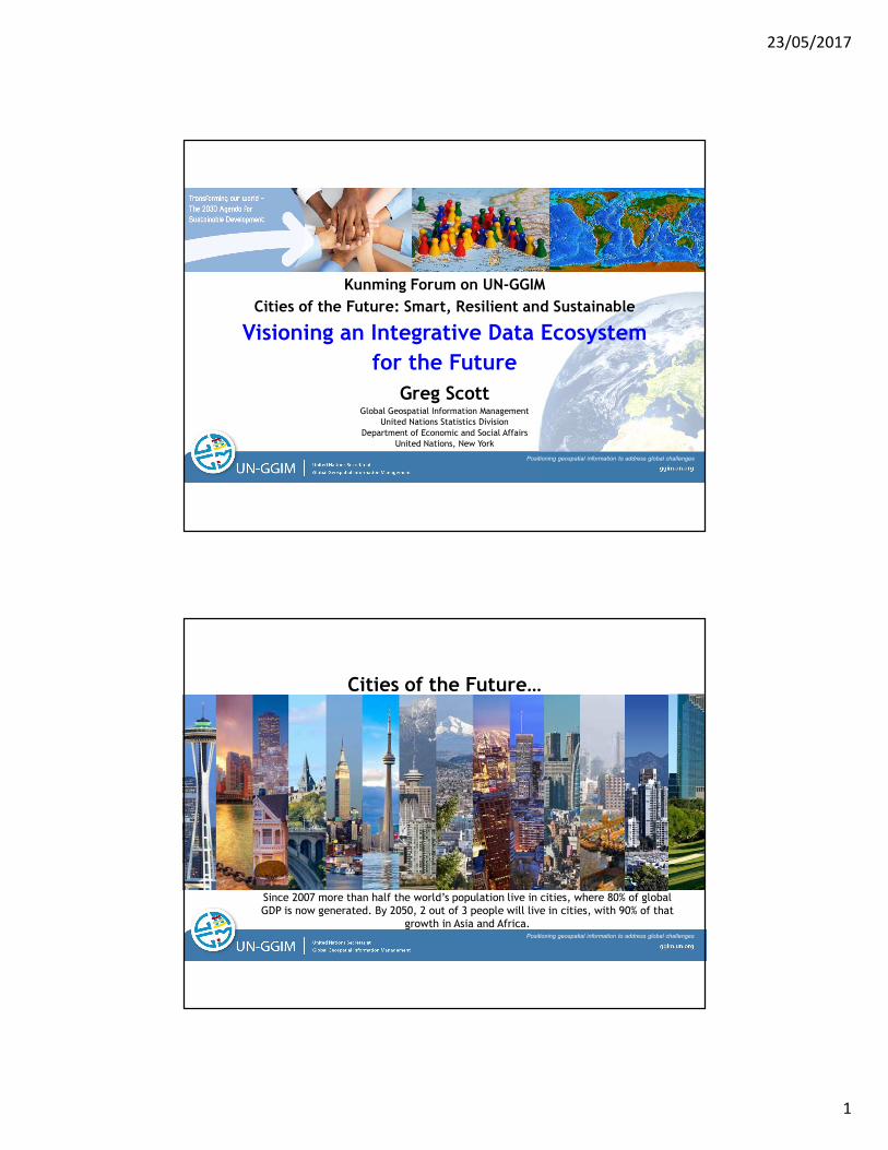
Cities of the Future…
Since 2007 more than half the world’s population live in cities, where 80% of global GDP is now generated. By 2050, 2 out of 3 people will live in cities, with 90% of that
growth in Asia and Africa.

23/05/2017
2
Positioning geospatial information to address global challenges
Cities of the Future…
Positioning geospatial information to address global challenges
Cities of the Future…
China Daily, 6-7 May 2017
World Bank data show that 500 million people were lifted out of poverty in China between 1981 (then 81%) and 2012, when the number of people living on less than $1.90 a day fell to 6.5%.
Extrapolation of World Bank data estimates 4.1% of population of China below poverty line in 2014, compared to 13.5% of US citizens from the US Census Bureau.
“look for the basic reasons for China’s success in poverty reduction. Its improvements were achieved by urban migration, better transportation infrastructure and the subsequent relocation of poor people from certain regions to more developed urban areas, where employment and improved access to education is available. An economy on the move has triggered employment opportunities for millions”
23/05/2017
3
Positioning geospatial information to address global challenges
Cities of the Future…Urbanization is not only an outcome of development, but a formidable engine to achieve development. Cities are key to tackling global challenges, such as poverty, social inequalities, and climate change. With more than 80% of global GDP generated in cities, urbanization, if managed well can contribute to sustainable and inclusive growth, in harmony with nature, by addressing inequalities, increasing productivity, and promoting job creation, social well-being, citizen participation, innovation and emerging ideas.
The battle for sustainable development will be won or lost in cities. By 2050, the urban population alone will be larger than the current total world population, posing massive sustainability challenges in terms of housing, infrastructure, basic services, and jobs among others. There is a need for a radical paradigm shift in the way cities and human settlements are planned, developed, governed and managed. The decisions we make today will shape our common urban future.
Positioning geospatial information to address global challenges
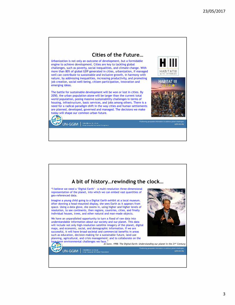
A bit of history…rewinding the clock…
“I believe we need a ‘Digital Earth’ – a multi-resolution three-dimensional representation of the planet, into which we can embed vast quantities of geo-referenced data.
Imagine a young child going to a Digital Earth exhibit at a local museum. After donning a head-mounted display, she sees Earth as it appears from space. Using a data glove, she zooms in, using higher and higher levels of resolution, to see continents, then regions, countries, cities, and finally individual houses, trees, and other natural and man-made objects.
We have an unparalleled opportunity to turn a flood of raw data into understandable information about our society and our planet. This data will include not only high-resolution satellite imagery of the planet, digital maps, and economic, social, and demographic information. If we are successful, it will have broad societal and commercial benefits in areas such as education, decision-making for a sustainable future, land-use planning, agricultural, and crisis management; and to collaborate on the long-term environmental challenges we face.”
Al Gore, 1998: The Digital Earth: Understanding our planet in the 21st Century
23/05/2017
4
Positioning geospatial information to address global challenges
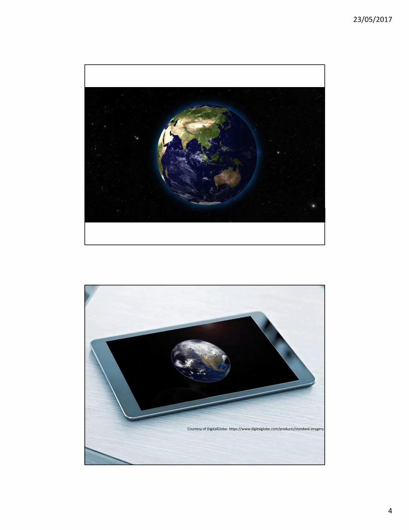
Positioning geospatial information to address global challengesCourtesy of DigitalGlobe: https://www.digitalglobe.com/products/standard-imagery

23/05/2017
5
Technology and society are driving digital transformation, and
targeted towards smart cities, but are we yet leveraging this
new ‘data ecosystem’ effectively?
Positioning geospatial information to address global challenges
Cities of the future will be integrative data ecosystems
generating and consuming massive amounts of data
related to people, their place, and their
environment

23/05/2017
6
Positioning geospatial information to address global challenges
Global development policy framework
Positioning geospatial information to address global challenges
23/05/2017
7
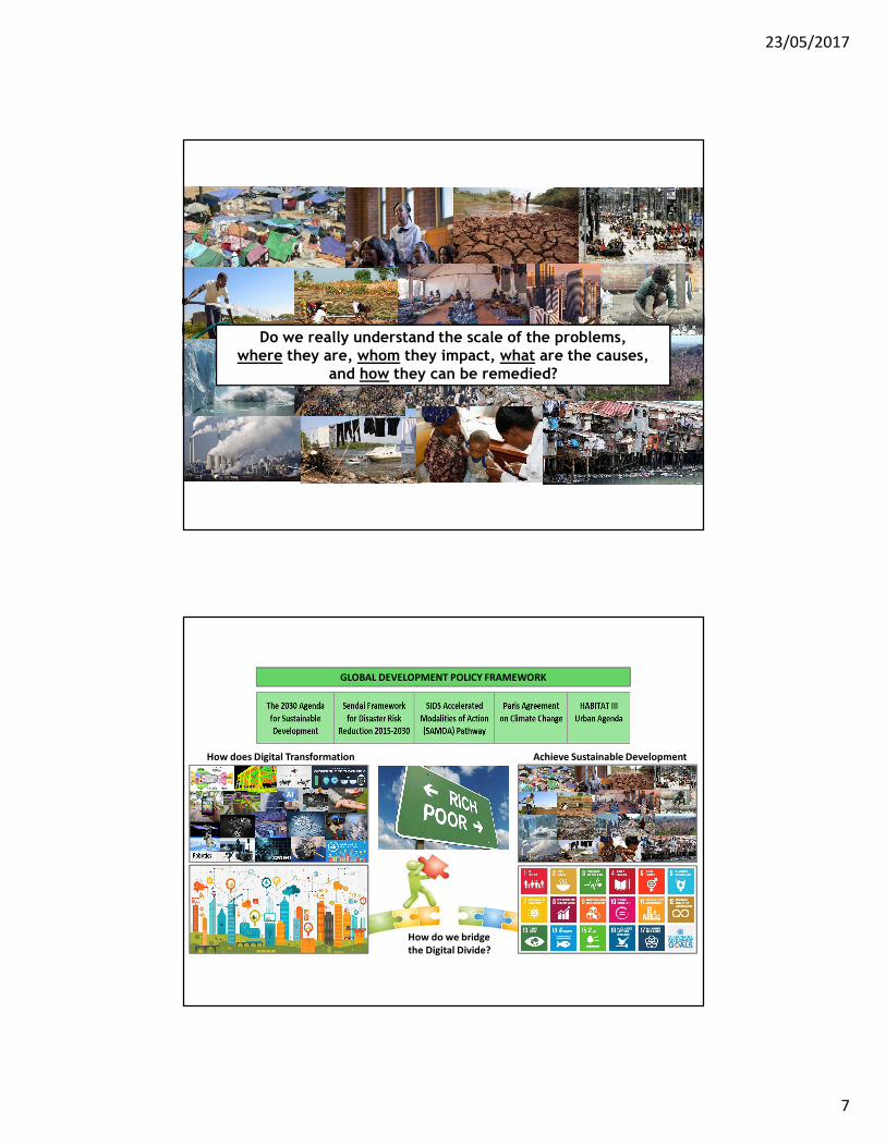
Do we really understand the scale of the problems,
where they are, whom they impact, what are the causes,
and how they can be remedied?
GLOBAL DEVELOPMENT POLICY FRAMEWORK
How do we bridge
the Digital Divide?
How does Digital Transformation Achieve Sustainable Development

23/05/2017
8
Positioning geospatial information to address global challenges
Follow up and review:
76. We will support developing countries, particularly African countries, LDCs, SIDS and LLDCs, in strengthening the capacity of national statistical offices and data systems to ensure access to high quality, timely, reliable and disaggregated data.
We will promote transparent and accountable scaling-up of appropriate public-private cooperation to exploit the contribution to be made by a wide range of data, including Earth observations and geospatial information, while ensuring national ownership in supporting and tracking progress.
Transforming our World:
The 2030 Agenda for
Sustainable Development
Positioning geospatial information to address global challenges
Data, monitoring and accountability:
17.18 By 2020, enhance capacity-building support to developing countries, including for least developed countries and small island developing States, to increase significantly the availability of high-quality, timely and reliable data disaggregated by income, gender, age, race, ethnicity, migratory status, disability, geographic location and other characteristics relevant in national contexts.
Transforming our World:
The 2030 Agenda for
Sustainable Development
23/05/2017
9
Positioning geospatial information to address global challenges
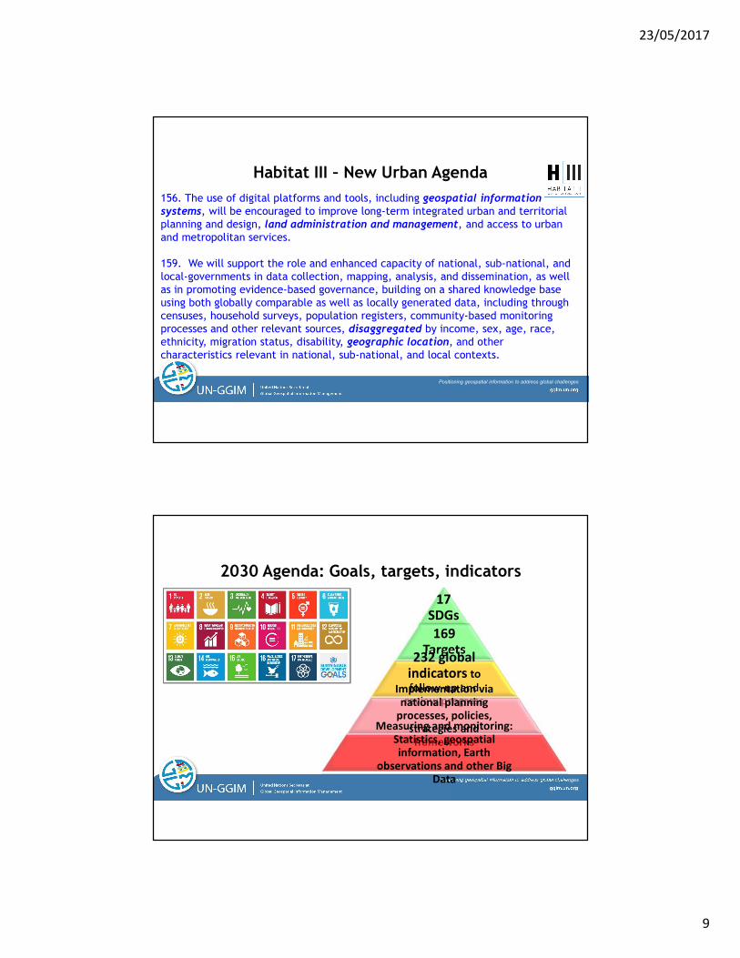
Habitat III – New Urban Agenda
156. The use of digital platforms and tools, including geospatial information systems, will be encouraged to improve long-term integrated urban and territorial planning and design, land administration and management, and access to urban and metropolitan services.
159. We will support the role and enhanced capacity of national, sub-national, and local-governments in data collection, mapping, analysis, and dissemination, as well as in promoting evidence-based governance, building on a shared knowledge base using both globally comparable as well as locally generated data, including through censuses, household surveys, population registers, community-based monitoring processes and other relevant sources, disaggregated by income, sex, age, race, ethnicity, migration status, disability, geographic location, and other characteristics relevant in national, sub-national, and local contexts.
Positioning geospatial information to address global challenges
2030 Agenda: Goals, targets, indicators
17
SDGs
169
Targets232 global
indicators to
follow-up and
review progressImplementation via
national planning
processes, policies,
strategies and
frameworks
Measuring and monitoring:
Statistics, geospatial
information, Earth
observations and other Big
Data

23/05/2017
10
Significant gap among countries
Lack of global decision-making
Mandate of Governments
High level coordination
National to global policy frameworks
Geospatial capacity building
Address global issues as a community
Develop norms, standards and guides
Global geodetic reference frame
Global fundamental data themes
Institutional arrangements, legal and policy frameworks
Standards and technical specifications
Integration of geospatial, statistical and other
informationLand administration and
management
Sustainable development and disaster risk reduction
National geospatial data and information systems
Needs
Activities
UN-GGIM: Integration of policy needs and activities
Technical
integration
Human
interoperability
Positioning geospatial information to address global challenges
UN-GGIM: Global geospatial policy framework
23/05/2017
11
Positioning geospatial information to address global challenges
Do we have the data for development??Can we make it ‘production ready’ information for all?
23/05/2017
12
Positioning geospatial information to address global challenges
169
Targets
232
Global Indicators
17
Goals
Global
Outputs and
Reporting
SDG metrics for measuring and monitoring progress.
Data compiled and disaggregated by income, gender, age, race,
ethnicity, migratory status, disability, geographic location, etc.
Official Aggregation and Integration into
Indicator Framework by National Statistical Offices.
Captures data integrity and validation.
National
Sustainable
Development
Indicators
National
Information
Systems
Data
Inputs
National Statistics,
Accounts, Administrative
Registers, Demographics
National
Spatial Data
Infrastructure
Other Sources
of Data,
incl. Big Data
Earth
Observations
and Monitoring
Geodetic positioningElevation
TopographyLand use & cover
Transport/Infrastruct.Cadastre/ParcelsWater & Oceans
Cities & SettlementsAdministrative Bdys.
ImageryWater/Ocean
Land use/coverObservations
In situ monitoringAir/PollutionEcosystems
Forest/AgricultureClimate
PopulationDemographics
PovertyTrade/Business
EnvironmentLabour/Economics
AgricultureDisability/Gender
Civil Registration & Vital Stats.
Mobile phoneSocial media
SensorsAutomated devices
Satellite imageryVGI
Crowd sourcing??
Fundamental
baseline data
and new
data sources
Local to national social, economic and environmental conditions and circumstances
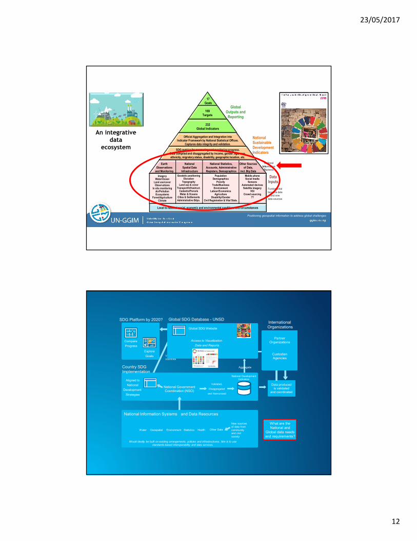
An integrative
data
ecosystem
View into
countries
Aggregate
Aligned to
National
Development
Strategies
National GovernmentCoordination (NSO)
Country SDGImplementation
National Development
Indicators
Validated,
Disaggregated
and Harmonized
Provision of relevant Agency Data for Goals, Targets and Indicators
National Information Systems and Data Resources
Water Geospatial Environment Statistics Health Other Data
Would ideally be built on existing arrangements, policies and infrastructures. Aim is to use
standards-based interoperability and data services.
New sources
of data from
community
and civil
society
SDG Platform by 2020?
Compare
Progress
Explore
Goals
Data produced
is validated
and coordinated
International Organizations
PartnerOrganizations
CustodianAgencies
Global Indicators
Global SDG Database - UNSD
Global SDG Website
Access to Visualization
Data and Reports
What are the
National and
Global data needs
and requirements?
23/05/2017
13
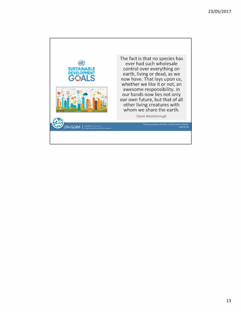
Positioning geospatial information to address global challenges
Recommended


![WELCOME [ggim.un.org]ggim.un.org/meetings/GGIM-committee/9th-Session... · unggim.academicnetwork.org Building Technical Capacities for Resilience and Sustainability - Challenges](https://img.dokumen.tips/doc/110x75/5f722ed7fc8eb66790307bb1/welcome-ggimunorgggimunorgmeetingsggim-committee9th-session-building.jpg)