Embed Size (px)
Citation preview

World Printing Production
Team members:Sean Whitehead, Project ManagerWilliam Shamburg, Asst. Project ManagerRegan Presley, GIS AnalystErik Olden, GIS AnalystChris Skeete, Webmaster
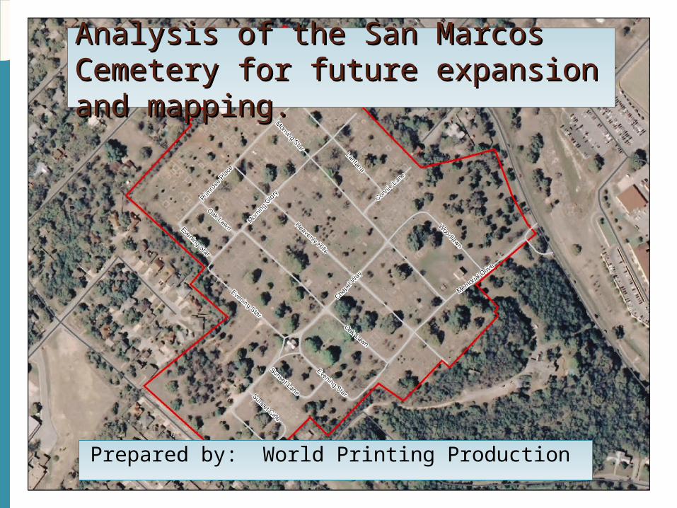
Analysis of the San Marcos Analysis of the San Marcos Cemetery for future expansion and Cemetery for future expansion and mapping.mapping.
Prepared by: World Printing Production

Roselawn Detailed Roselawn Detailed Study.Study.
Summary The San Marcos City Cemetery is facing two major
issues that threaten its ability to continue to generate revenue and its functionality. The first problem that must be understood and dealt with is a time sensitive issue in which the longer it is put off, the harder it will be to resolve. The cemetery is going to run out of space. Unfortunately, for several Texas communities, that time has come too soon. Steps must be taken to preserve as much space inside the cemetery as possible to ensure that the land is used most efficiently.
The second issue we must face is the problems an
individual faces when trying to decipher old location codes to try to find a loved one. This poses a problem to both the city and local Pennington Funeral Home because individuals turn to these organizations to solve their dilemma which costs time and money.
Introduction for Project Proposal.
Purpose and Scope.
Purpose Our purpose is to study the current layout of the
cemetery to suggest comments to the city to save space in the cemetery. This study will examine the current methods of burials and using space. We will also create a system of locating interments that doesn’t require the city or local funeral home to assist.
Scope The extent of the entire project is the City of San
Marcos Cemetery. A detailed study that includes the creation of an Interactive Cemetery Mapping Application will be conducted on the Roselawn sections.

Data.
Paper Maps of the San Marcos Cemetery Scale (1:12)
San Marcos Burial Report
Aerial Photo of San Marcos Cemetery
Global Positioning System (GPS) points collected by WPP of
structures in the San Marcos Cemetery

We will divide up our work of the project into four phases.
Phase 1. Data collection & compilation
1. Make survey drawing and measurement of plots to be mapped2. Track down the existing database3. Scan all existing maps into ArcGIS
Phase 2. Creation of spatial data and linkage to cemetery database for Roselawn1. Digitize individual plots of Roselawn2. Connect the database to the individual plots
Phase 3. Data Analysis1. Analyze a plan to prolong the cemetery
a. How can the city prolong the life of its cemetery?b. What is the best/worst case scenario on how long before the cemetery will
run out of room?2. Develop an Interactive Cemetery Mapping Application3. Develop a large map of all the burial section in the cemetery
Phase 4. Final Deliverables1. Test the Interactive Cemetery Mapping Application2. Create a report with suggestions for the expansion of the cemetery3. Create the overall map of the cemetery4. Create instructions for the completing ICMA for the rest of the cemetery
Methodology.
Implications.
The San Marcos Cemetery is filling rapidly and a dated occupant location system makes for inefficient use of cemetery labor. Employees of the cemetery often find themselves searching the grounds for hours with the loved ones of interments because of the lack of an organized map and locating system. Coupled with this problem is the need for an idea of when the cemetery will meet capacity. At an average rate of 80 burials per year this problem needs an answer before time is up. The results that World Printing Productions plan to achieve will be used in the future for the cemetery as a formula to further organize the rest of the grounds. This will allow the current administration to keep better track of the occupants in the cemetery and have a better idea of when to begin looking for more property to purchase as an addition to the current cemetery property.
Timeline.
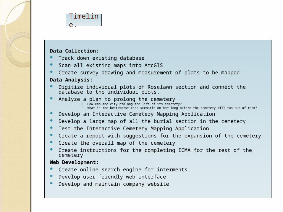
Data Collection: Track down existing database Scan all existing maps into ArcGIS Create survey drawing and measurement of plots to be mappedData Analysis: Digitize individual plots of Roselawn section and connect the database to the
individual plots. Analyze a plan to prolong the cemetery
How can the city prolong the life of its cemetery? What is the best/worst case scenario on how long before the cemetery will run out of room?
Develop an Interactive Cemetery Mapping Application Develop a large map of all the burial section in the cemetery Test the Interactive Cemetery Mapping Application Create a report with suggestions for the expansion of the cemetery Create the overall map of the cemetery Create instructions for the completing ICMA for the rest of the cemeteryWeb Development: Create online search engine for interments Develop user friendly web interface Develop and maintain company website


Timetable.
Conclusion.
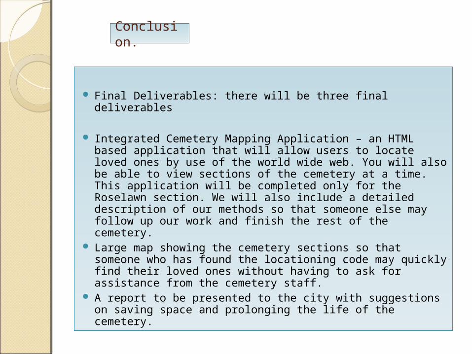
Final Deliverables: there will be three final deliverables
Integrated Cemetery Mapping Application – an HTML based application that will allow users to locate loved ones by use of the world wide web. You will also be able to view sections of the cemetery at a time. This application will be completed only for the Roselawn section. We will also include a detailed description of our methods so that someone else may follow up our work and finish the rest of the cemetery.
Large map showing the cemetery sections so that someone who has found the locationing code may quickly find their loved ones without having to ask for assistance from the cemetery staff.
A report to be presented to the city with suggestions on saving space and prolonging the life of the cemetery.
Summary.
Ultimately the purpose of this project is twofold. The first portion of the project is to provide the Friends of San Marcos Cemetery with an organized map of the occupant sites in the cemetery that are open (not in use) or being occupied so that they can get a better understanding of when the cemetery will fill up in the future. Further, this will help the city of San Marcos have a better grasp of when and where to begin searching for additional property to be ascertained for further burials. The second portion of this project is to create a user friendly interactive way for friends of the cemetery to efficiently locate their loved ones. Using the methodology mentioned previously we will meet our goals and conclude our project with the time allotted.
Participation.
The introduction to the proposal was prepared by William Shamburg as well as the final deliverables. The cover page, title page, data, and methodology by Chris Skeete, the budget and time table by Reagan Presley. The implications, conclusion, and table of contents were composed by Sean Whitehead. The Sources and general composition of the proposal was completed by Erik Olden.