Embed Size (px)
Citation preview
Dr. Dirk Schaefer • Department of Geography • University MainzFifth Annual ESRI Education User Conference • San Diego, California • July 23–26, 2005
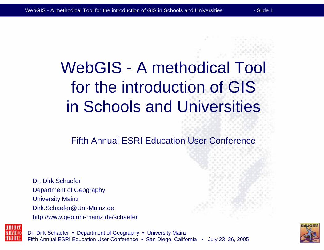
WebGIS - A methodical Tool for the introduction of GIS in Schools and Universities - Slide 1
WebGIS - A methodical Tool for the introduction of GIS
in Schools and Universities
Fifth Annual ESRI Education User Conference
Dr. Dirk SchaeferDepartment of Geography
University [email protected]
http://www.geo.uni-mainz.de/schaefer
Dr. Dirk Schaefer • Department of Geography • University MainzFifth Annual ESRI Education User Conference • San Diego, California • July 23–26, 2005
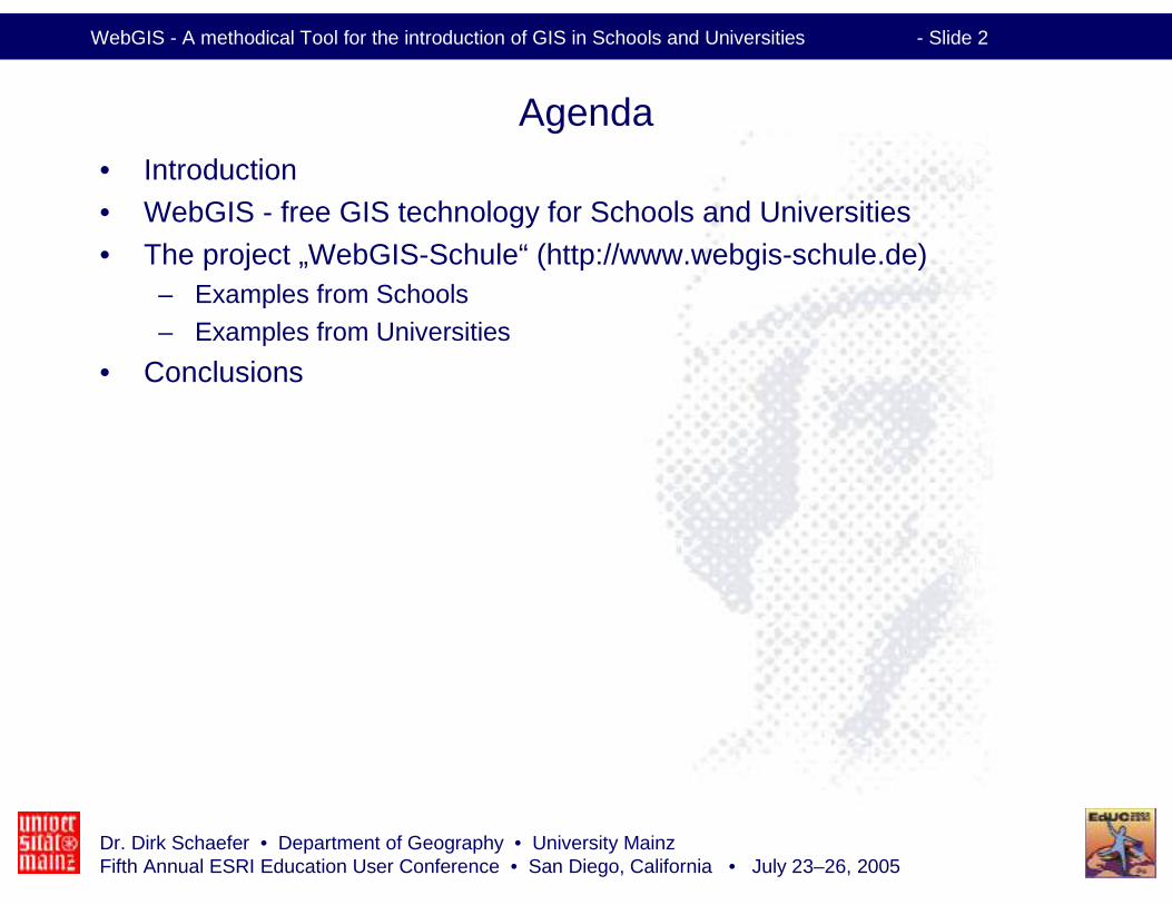
WebGIS - A methodical Tool for the introduction of GIS in Schools and Universities - Slide 2
Agenda• Introduction• WebGIS - free GIS technology for Schools and Universities
• The project „WebGIS-Schule“ (http://www.webgis-schule.de)– Examples from Schools– Examples from Universities
• Conclusions
Dr. Dirk Schaefer • Department of Geography • University MainzFifth Annual ESRI Education User Conference • San Diego, California • July 23–26, 2005
WebGIS - A methodical Tool for the introduction of GIS in Schools and Universities - Slide 3
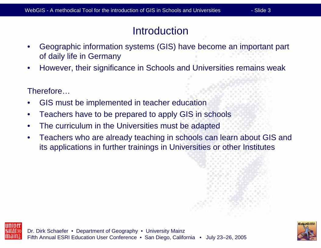
Introduction• Geographic information systems (GIS) have become an important part
of daily life in Germany
• However, their significance in Schools and Universities remains weak
Therefore…
• GIS must be implemented in teacher education • Teachers have to be prepared to apply GIS in schools• The curriculum in the Universities must be adapted
• Teachers who are already teaching in schools can learn about GIS and its applications in further trainings in Universities or other Institutes
Dr. Dirk Schaefer • Department of Geography • University MainzFifth Annual ESRI Education User Conference • San Diego, California • July 23–26, 2005
WebGIS - A methodical Tool for the introduction of GIS in Schools and Universities - Slide 4
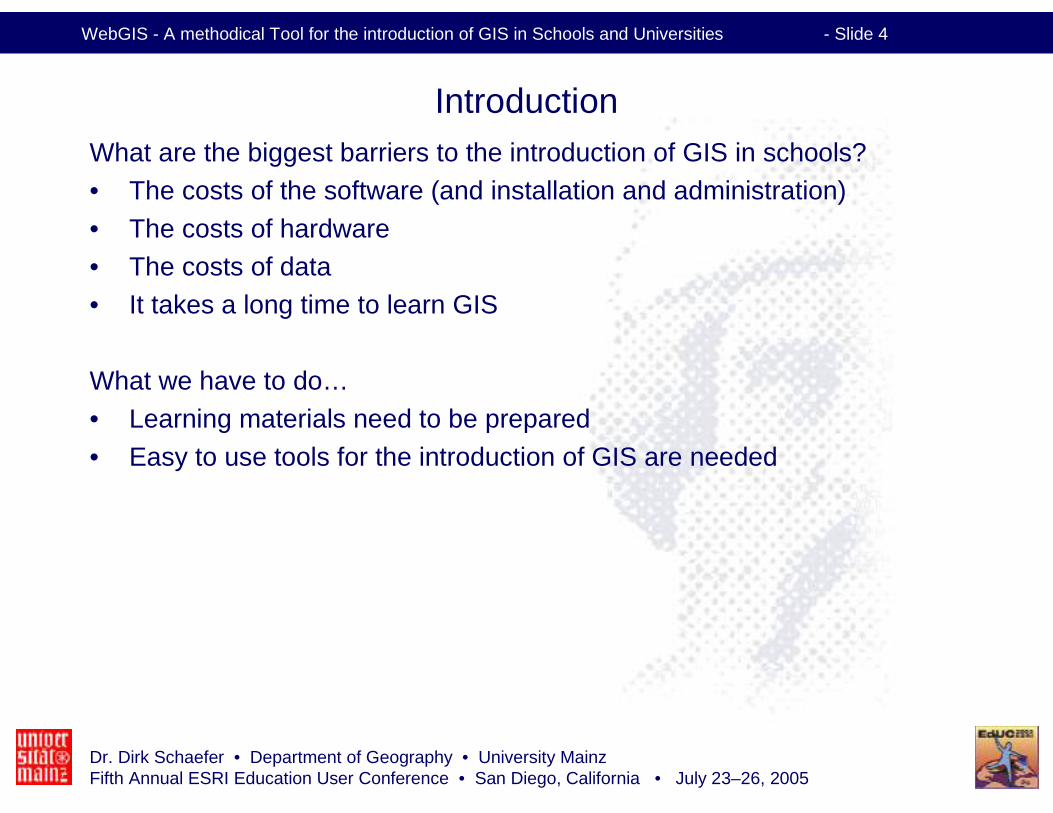
IntroductionWhat are the biggest barriers to the introduction of GIS in schools?• The costs of the software (and installation and administration)
• The costs of hardware • The costs of data• It takes a long time to learn GIS
What we have to do…• Learning materials need to be prepared
• Easy to use tools for the introduction of GIS are needed
Dr. Dirk Schaefer • Department of Geography • University MainzFifth Annual ESRI Education User Conference • San Diego, California • July 23–26, 2005
WebGIS - A methodical Tool for the introduction of GIS in Schools and Universities - Slide 5
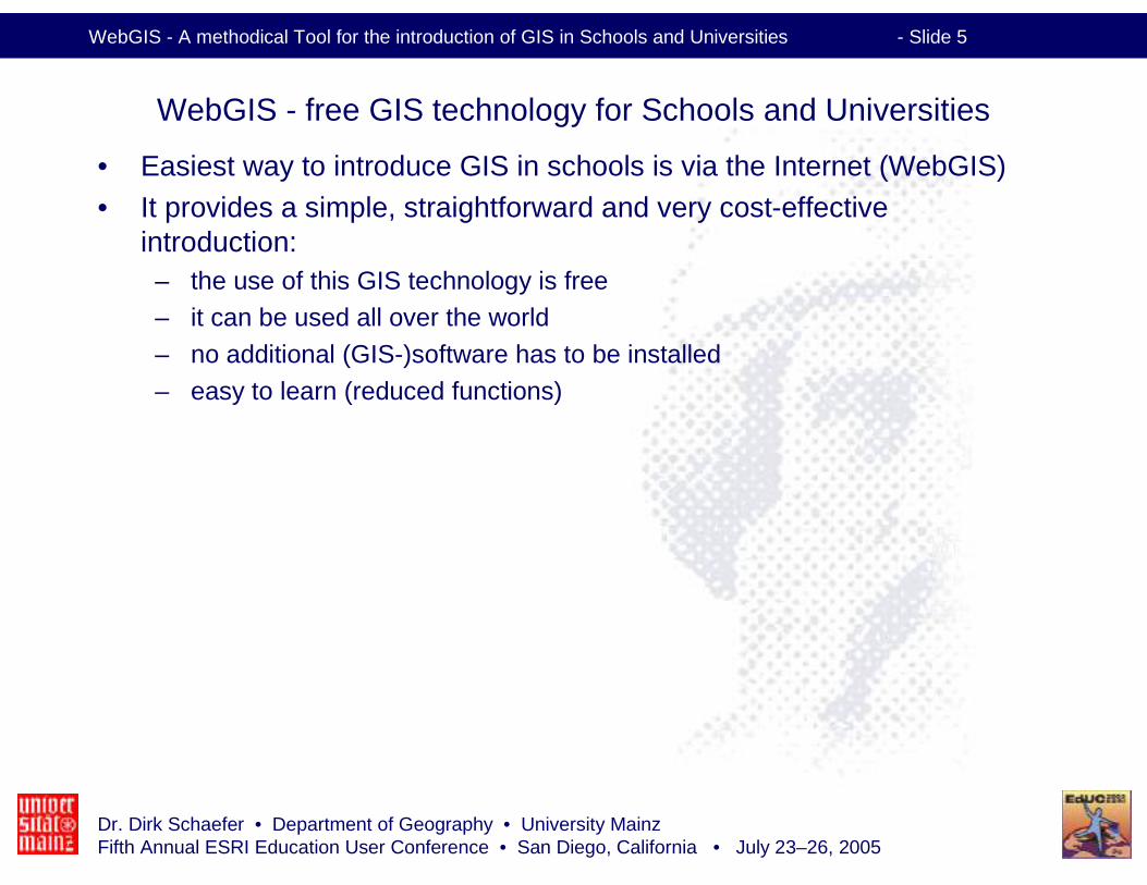
WebGIS - free GIS technology for Schools and Universities
• Easiest way to introduce GIS in schools is via the Internet (WebGIS)• It provides a simple, straightforward and very cost-effective
introduction: – the use of this GIS technology is free– it can be used all over the world– no additional (GIS-)software has to be installed– easy to learn (reduced functions)
Dr. Dirk Schaefer • Department of Geography • University MainzFifth Annual ESRI Education User Conference • San Diego, California • July 23–26, 2005
WebGIS - A methodical Tool for the introduction of GIS in Schools and Universities - Slide 6
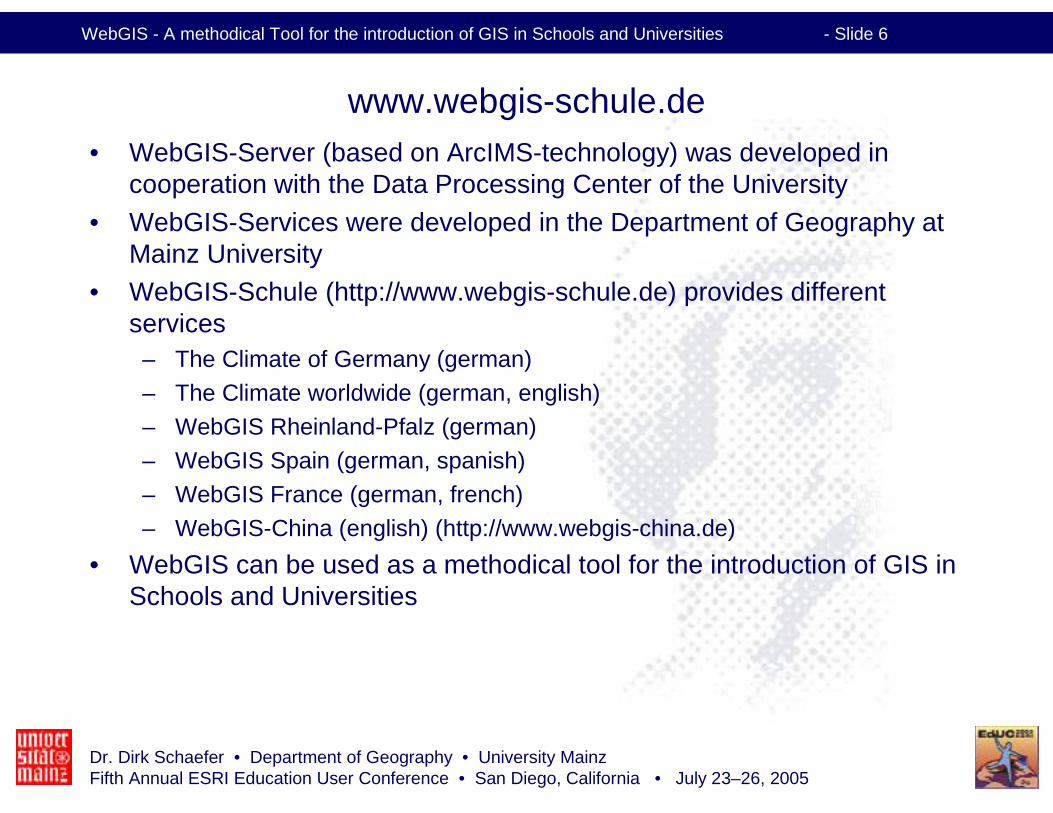
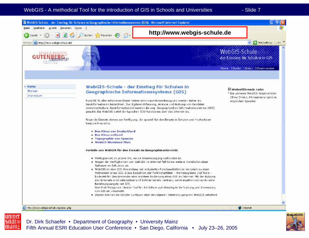
www.webgis-schule.de• WebGIS-Server (based on ArcIMS-technology) was developed in
cooperation with the Data Processing Center of the University
• WebGIS-Services were developed in the Department of Geography at Mainz University
• WebGIS-Schule (http://www.webgis-schule.de) provides different services
– The Climate of Germany (german)– The Climate worldwide (german, english)– WebGIS Rheinland-Pfalz (german)– WebGIS Spain (german, spanish)– WebGIS France (german, french)– WebGIS-China (english) (http://www.webgis-china.de)
• WebGIS can be used as a methodical tool for the introduction of GIS inSchools and Universities
Dr. Dirk Schaefer • Department of Geography • University MainzFifth Annual ESRI Education User Conference • San Diego, California • July 23–26, 2005
WebGIS - A methodical Tool for the introduction of GIS in Schools and Universities - Slide 7
http://www.webgis-schule.de
Dr. Dirk Schaefer • Department of Geography • University MainzFifth Annual ESRI Education User Conference • San Diego, California • July 23–26, 2005
WebGIS - A methodical Tool for the introduction of GIS in Schools and Universities - Slide 8
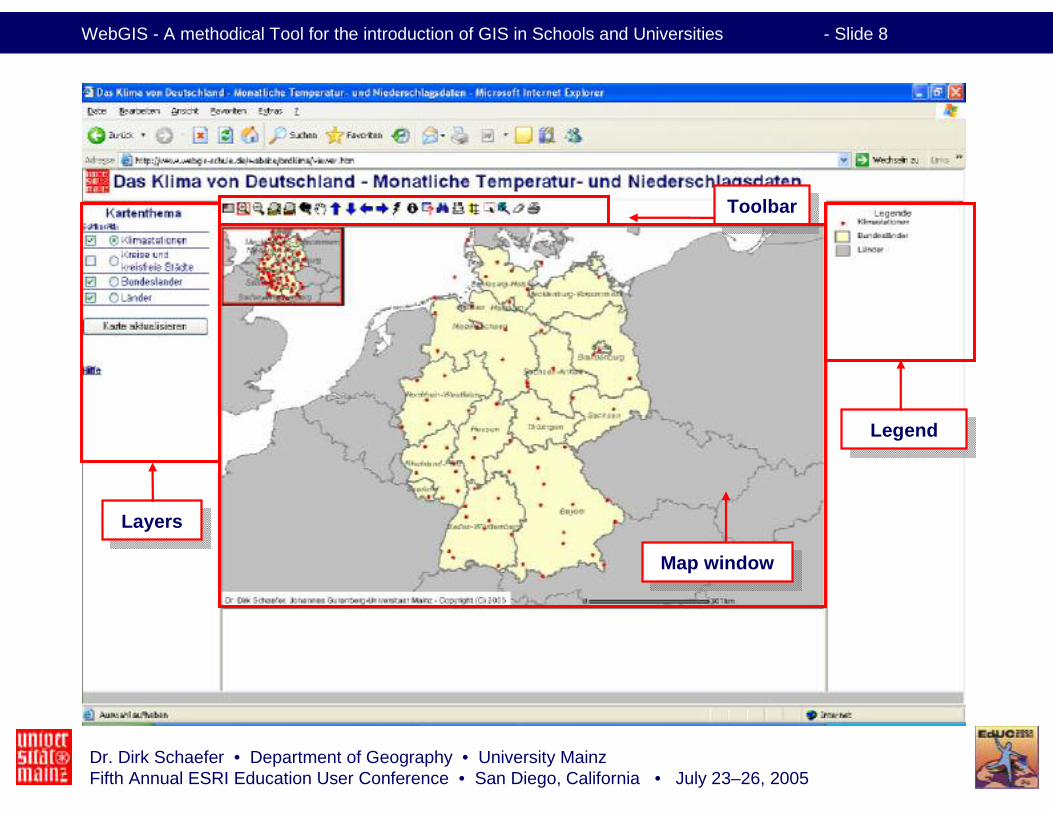
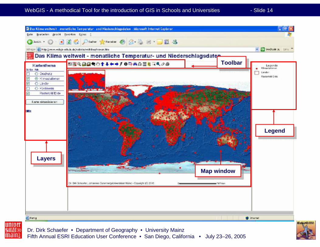
LayersLayers
LegendLegend
ToolbarToolbar
Map windowMap window
Dr. Dirk Schaefer • Department of Geography • University MainzFifth Annual ESRI Education User Conference • San Diego, California • July 23–26, 2005
WebGIS - A methodical Tool for the introduction of GIS in Schools and Universities - Slide 9
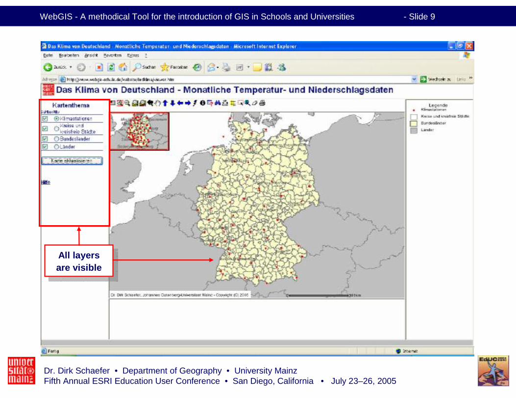
All layersare visible
All layersare visible
Dr. Dirk Schaefer • Department of Geography • University MainzFifth Annual ESRI Education User Conference • San Diego, California • July 23–26, 2005
WebGIS - A methodical Tool for the introduction of GIS in Schools and Universities - Slide 10
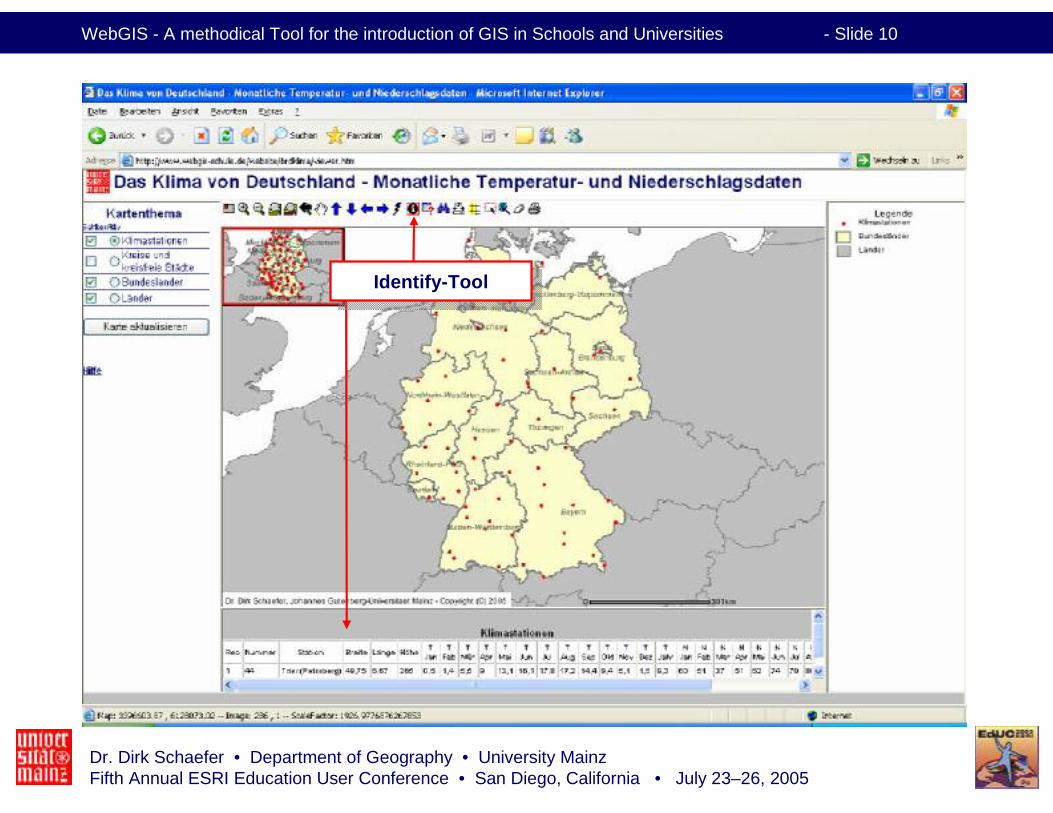
Identify-ToolIdentify-Tool
Dr. Dirk Schaefer • Department of Geography • University MainzFifth Annual ESRI Education User Conference • San Diego, California • July 23–26, 2005
WebGIS - A methodical Tool for the introduction of GIS in Schools and Universities - Slide 11
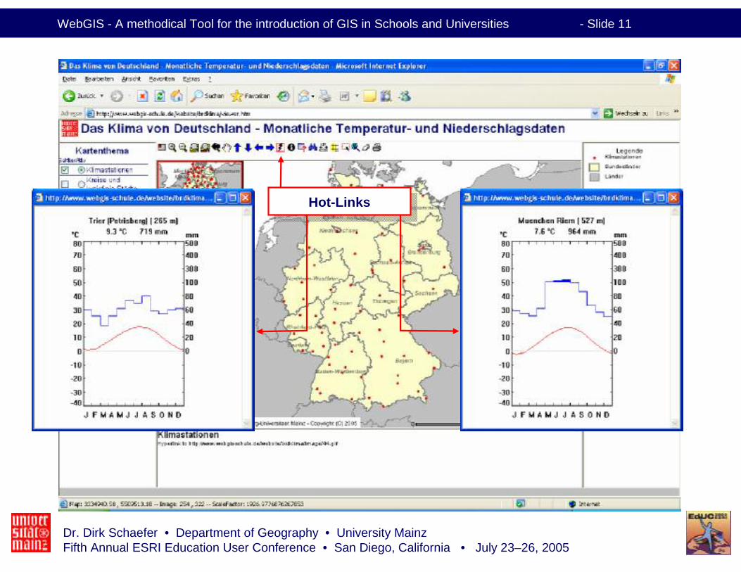
Hot-LinksHot-Links
Dr. Dirk Schaefer • Department of Geography • University MainzFifth Annual ESRI Education User Conference • San Diego, California • July 23–26, 2005
WebGIS - A methodical Tool for the introduction of GIS in Schools and Universities - Slide 12
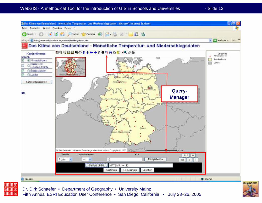
Query-Manager
Query-Manager
Dr. Dirk Schaefer • Department of Geography • University MainzFifth Annual ESRI Education User Conference • San Diego, California • July 23–26, 2005
WebGIS - A methodical Tool for the introduction of GIS in Schools and Universities - Slide 13
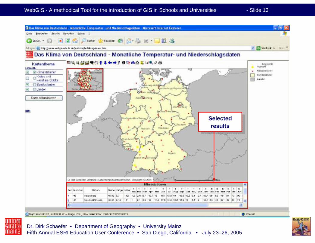
Selectedresults
Selectedresults
Dr. Dirk Schaefer • Department of Geography • University MainzFifth Annual ESRI Education User Conference • San Diego, California • July 23–26, 2005
WebGIS - A methodical Tool for the introduction of GIS in Schools and Universities - Slide 14
LayersLayers
LegendLegend
ToolbarToolbar
Map windowMap window

Dr. Dirk Schaefer • Department of Geography • University MainzFifth Annual ESRI Education User Conference • San Diego, California • July 23–26, 2005
WebGIS - A methodical Tool for the introduction of GIS in Schools and Universities - Slide 15
Zoom-function
Zoom-function
Dr. Dirk Schaefer • Department of Geography • University MainzFifth Annual ESRI Education User Conference • San Diego, California • July 23–26, 2005
WebGIS - A methodical Tool for the introduction of GIS in Schools and Universities - Slide 16
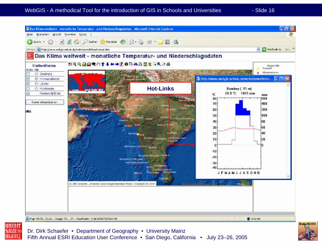
Hot-LinksHot-Links
Dr. Dirk Schaefer • Department of Geography • University MainzFifth Annual ESRI Education User Conference • San Diego, California • July 23–26, 2005
WebGIS - A methodical Tool for the introduction of GIS in Schools and Universities - Slide 17
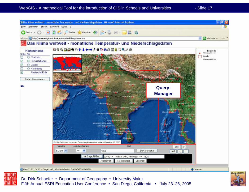
Query-Manager
Query-Manager
Dr. Dirk Schaefer • Department of Geography • University MainzFifth Annual ESRI Education User Conference • San Diego, California • July 23–26, 2005
WebGIS - A methodical Tool for the introduction of GIS in Schools and Universities - Slide 18
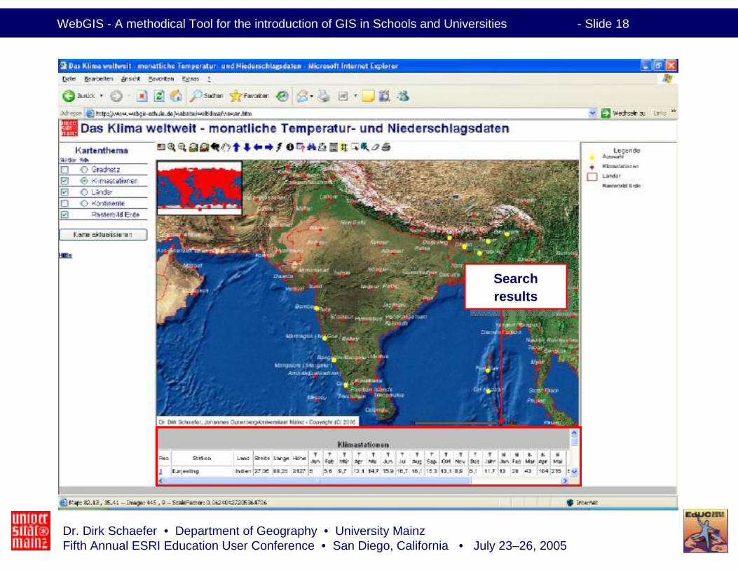
Searchresults
Searchresults

Dr. Dirk Schaefer • Department of Geography • University MainzFifth Annual ESRI Education User Conference • San Diego, California • July 23–26, 2005
WebGIS - A methodical Tool for the introduction of GIS in Schools and Universities - Slide 19
Conclusions• In Germany (almost) every school has access to internet• Every school can use the Map-Services provided by WebGIS for free
• WebGIS-Schule (http://www.webgis-schule.de) provides variousWebGIS-Services
• They can be used for a didactically appropriate introduction of GIS in Schools and Universities
• A "real" GIS provides more functions and provides for more advancedand experienced users the possibility to create, manage and analyseown projects
• The students learn about– the layertechnique– GIS-functions (Zoom, Identify, Measure, Hot-Links, Query Builder)
• WebGIS is a good approach and an easy way to introduce GIS in Schools and Universities
Dr. Dirk Schaefer • Department of Geography • University MainzFifth Annual ESRI Education User Conference • San Diego, California • July 23–26, 2005
WebGIS - A methodical Tool for the introduction of GIS in Schools and Universities - Slide 20
Thank you for your attention !