Embed Size (px)
Citation preview

Vexcel Imaging / Microsoft PhotogrammetryUser Meeting, Tokyo, September 2008Michael Gruber, [email protected]

Vexcel Imaging Photogrammetry Products

UltraCamXp
UltraCam Xp
Based on the most successfull UltraCamX
Key features• CCD size 6.0 µm (UCX: 7.2 µm)
• 195 Mega pixel (UCX: 136 Mega pixel)
• Storage system 2 x 2.1 Terra byte (UCX: 2 x 1.7 TB)
• Storage system 6600 images (UCX: 4700 images)
• New filters for even improved image dynamic
UltraCam Xp
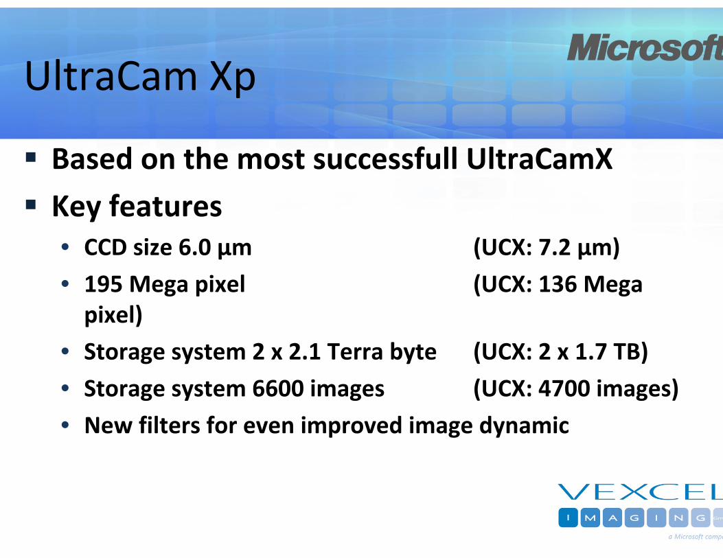
Projects• 500m flying height ‐> 2.9 cm GSD ‐> 514m strip width• 1000m flying height ‐> 5.8 cm GSD ‐> 1028m strip width• 3000m flying height ‐> 17.4 cm GSD ‐> 3085m strip width
Largest digital camera world‐wideLowest possible collection costs
Most efficient digital camera world‐wide
Success Story
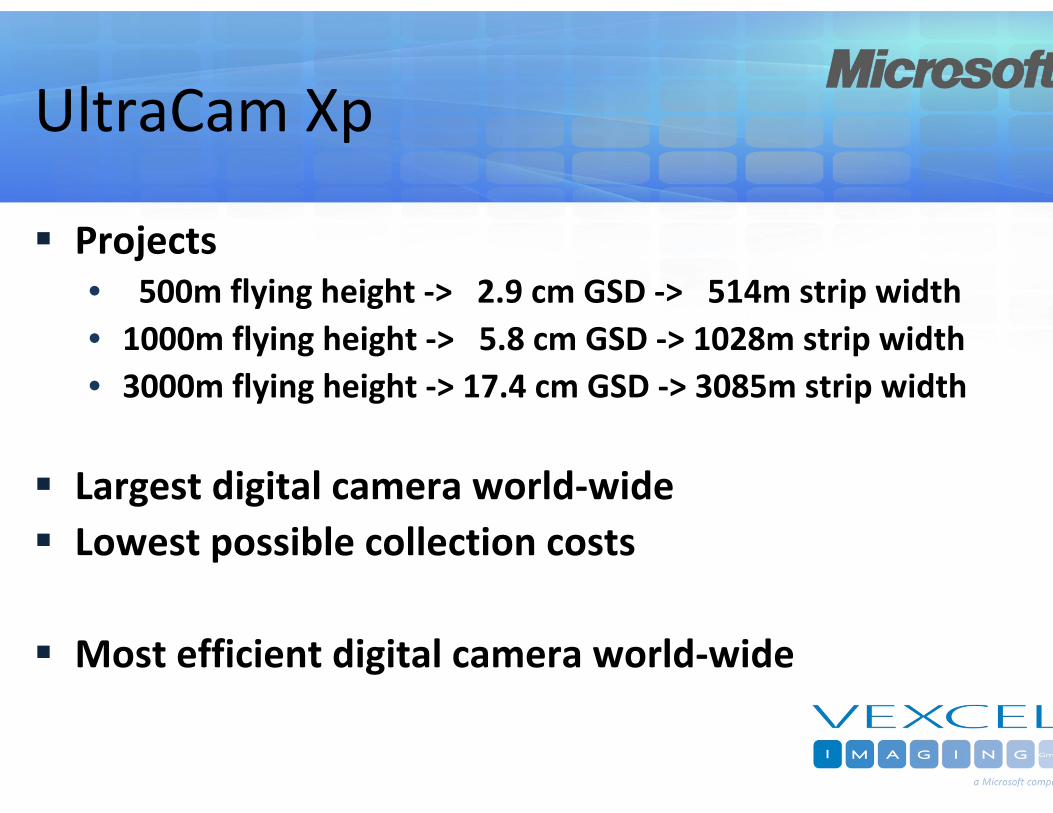
Sales Figures• 244 cameras world‐wide• 101 cameras of UCD and UCX
• 47 UltraCamD• 54 UltraCamX
Vexcel market share42% with UCD/UCX
Announcement:The UltraCam #100 has been sold in July 2008 to Geokosmos, Russia, by our partner GeoLidar
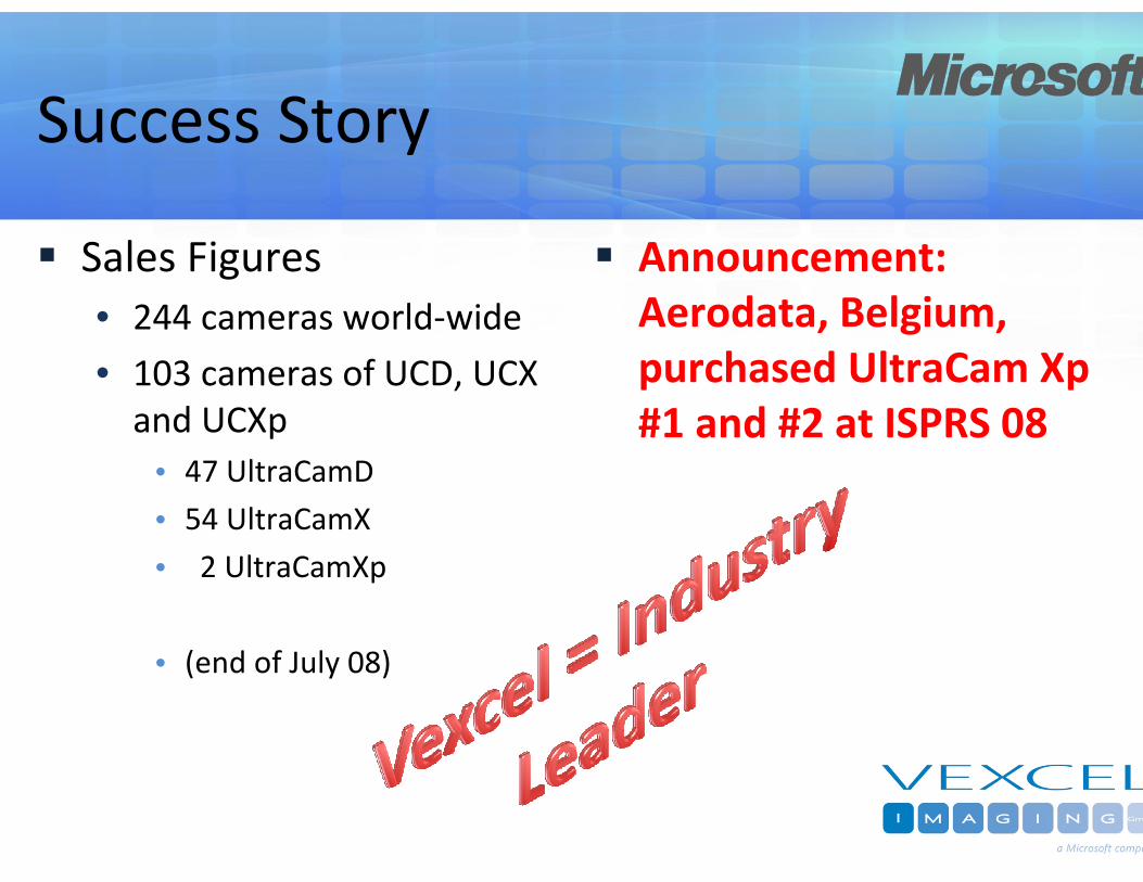
Success Story
Sales Figures• 244 cameras world‐wide
• 103 cameras of UCD, UCX and UCXp
• 47 UltraCamD
• 54 UltraCamX
• 2 UltraCamXp
• (end of July 08)
Announcement:Aerodata, Belgium, purchased UltraCam Xp #1 and #2 at ISPRS 08

UltraCamXp

Computing Unit
exchangeableData Unit

Data Unit
Docking Station
4 parallel Download Ports

UltraCamXp
Largest Image Format
17310 by 11310 pixel (195 Mpixel)
On board Data Storage
6600 Frames / Data Unit
Short frame intervall (2 sec)
3cm GSD / 60% Endlap / 140 kn

12
Microsoft/Vexcel Aerial Camera EvolutionUltraCamD UltraCamX UltraCamXp

Design Basics
Panchromatic Channel:Set of four Cones and 9 CCDsone Master Cone
Multispectral Channels:Set of four ConesRed‐Green‐Blue‐Nir

UltraCamX – Cone Design
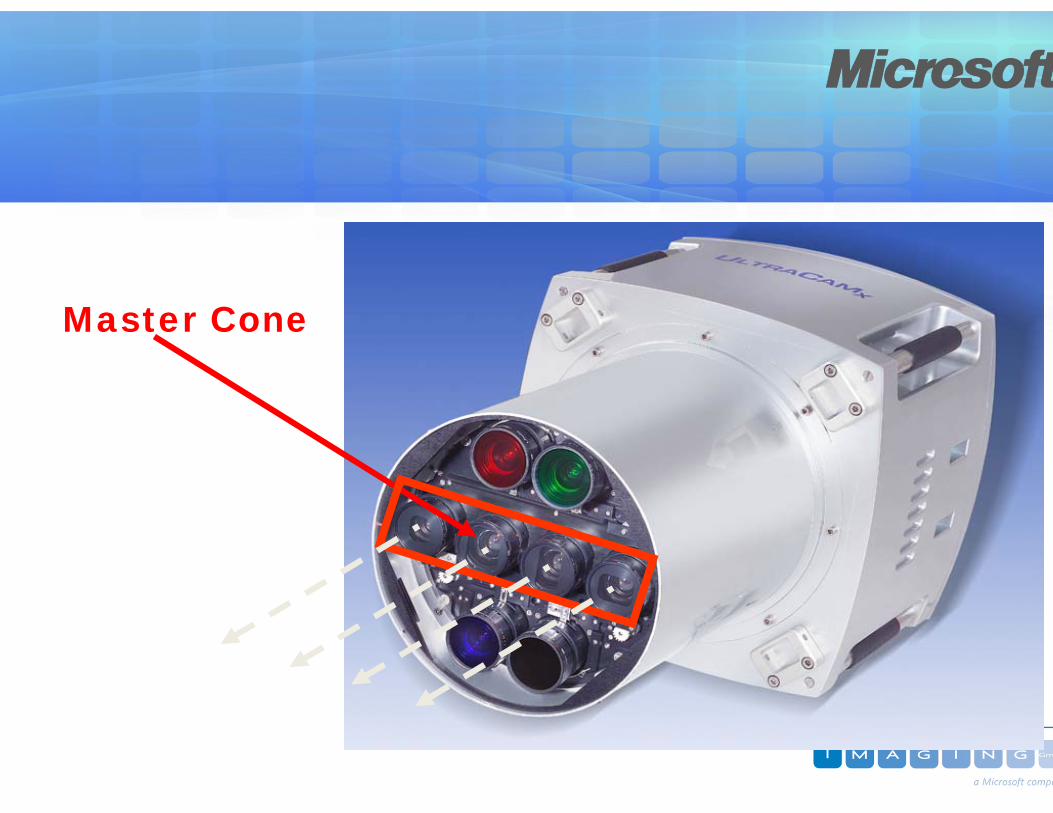
Master Cone

4 Cones4 Lenses4 Focal Planes
9 CCD SensorArrays
12 Overlap Areas
A B A
C D C
A B A
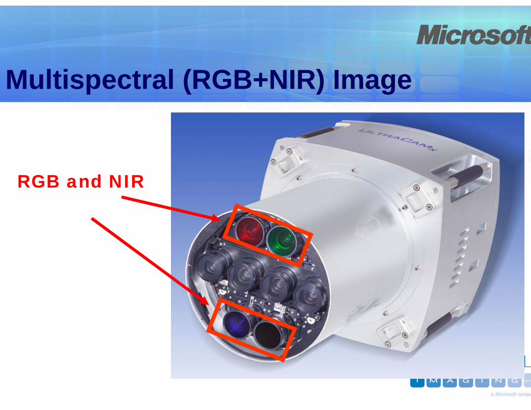
Multispectral (RGB+NIR) Image
RGB and NIR
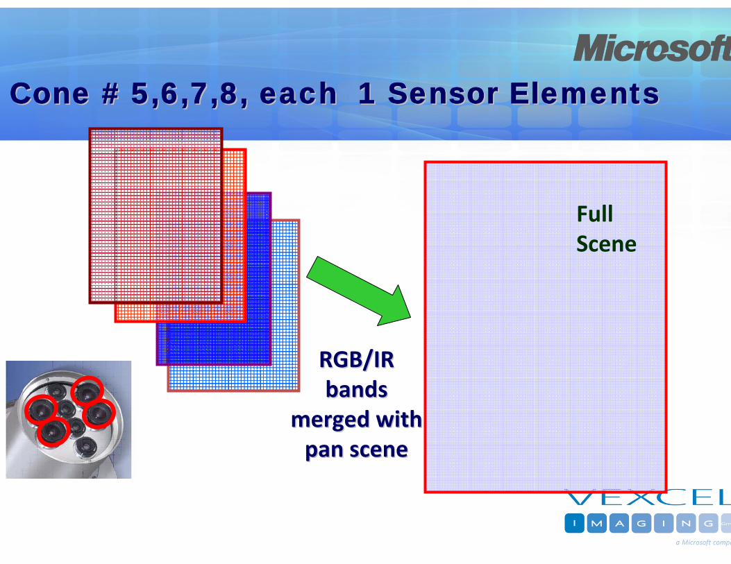
Full Scene
RGB/IR RGB/IR bands bands
merged with merged with pan scenepan scene
Cone # 5,6,7,8, each 1 Sensor ElementsCone # 5,6,7,8, each 1 Sensor Elements

Large Scale Capability
GleisdorfGSD: 5 cm
August 2008


Radiometric Performanceof UltraCam Xp
12+ bit CCD Sensor (~6000 DN)14 bit ADC (16384 DN)
16 bit postprocessing (65536 DN)


Area (Pan):
Min 60Max 7920
7860 Grey Levels
12.94 bit

Color InfraredGleisdor
GSD: 5 cm
August 200


ColoGra
GSD: 10 cm
August 200


Geometric Performanceof UltraCam Xp
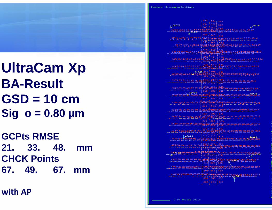
UltraCam XpBA-ResultGSD = 10 cmSig_o = 0.80 µm
GCPts RMSE21. 33. 48. mmCHCK Points67. 49. 67. mm
with AP

UltraCam XpBA-ResultGSD = 10 cmSig_o = 0.80 µm
GPS/IMU RMSE27. 22. 19. mm2.7 3.3 7.5 mgon

UltraCam XpImage Residuals
< 1 µm (=1/6 Pixel)
Radial Distortion
< 1.2 µm
Images from UltraCam Xp

34

35

36

UltraCamL
UltraCamL
The Large Photogrammetric Medium Format Camera
Smaller large scale and photogrammetric projects
High resolution (true) ortho mapping
Multi‐ray photogrammetry
Corridor mapping
Lidar integration

UltraCamL
80+Mega pixelPan, RGB and NIR in parallelBest matching quality and stereo capabilityBest in class radiometryFull metric capability incl. Aerotriangulation and DSM productionShort frame intervall (2 seconds)GSD from 3“ up at 80% overlappAffordable for smaller mapping companiesSmaller, lighter than large format cameras, serves small planes
Available 2nd Quater 2009

UltraMap Platform, the new photogrammetric Software

UltraMap Platform
Complete and integrated photogrammetric workflow• Data download and ship packs
• Distributed level 0‐2 and level 2‐3 processing
• Complete aero triangulation
• Photogrammetric bundle adjustment
• Automated tie point collection
• Guided ground control point measurements
• Camera auto calibration
• Quality control

UltraMap Platform
Based on Microsoft .NET and Microsoft Seadragon technologyComplete 16 bit image pipelineSupports distributed processing• Level 0‐2 and level 2‐3• Central system management• Load balancing
Fully integrates UltraCam specific hardware(DX, DKS docking station)

Current Software
Camera operating software (COS V3.2)• In‐flight control panel for controlling the camera
Office processing center (OPC V3.2)• Single‐computer image processing to level 3

#2: Download Manager
Recording
Main officeMission office
Download/Dump

#3: Visual Quality Control
Index map‐based visualization• Missing images
• GPS/IMU accuracy
• Crab angle
• Overlap
• Radiometry over the whole block

UltraMap GUI Features

UltraMap GUI Features

DragonFly Technology

Think about …
1 UltraCam‐Xp image shot• PAN
• 1‐channel 16 bit
• 195 Mpix resolution
• Color• 4‐channel 16 bit
• 21 Mpix resolution
• Storage• 550 MB image data
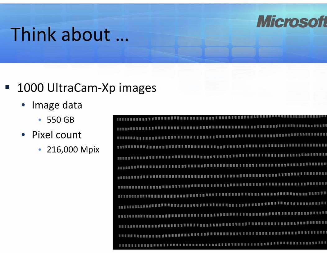
Think about …
1000 UltraCam‐Xp images• Image data
• 550 GB
• Pixel count• 216,000 Mpix

Seadragon Technology
Handles large blocks of images
Smooth transitions
Core technology for• Photosynth
• Deep Zoom (Silverlight 2.0)
• UltraMap (new)

UltraMap‐AT

UltraCamX/Xp
Large Format Digital Camera &
Microsoft Virtual Earth

Large Scale Urban MappingFor Virtual Earth
Flight Pattern: 80% / 60%90% / 80% (downtown)
RedundantRobustMinimizing Occlusions

Large Scale Urban MappingFor Virtual Earth
GSD: 15 cm (10 cm)
Up to 5 rays per point from one flight lineUp to 15 rays per point from overlapping flight lines

Redundancy supports automation

Multi‐Spectral Classification
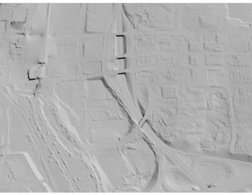
Winston-Salem DSM to DEM

ent Results
Apartment complex in Atlanta

The Result:Automatically processed photo textured model of Philadelphia


63


![GSD COMPUTING...GSD-COMPUTING [MTCG1015] Term –1 AY: 2020-21 COMPUTING GSD COMPUTING WORKBOOK [PART 2] Military Technological College GSD-COMPUTING [MTCG1015]](https://img.dokumen.tips/doc/110x75/60afe3fea86c106f184a7c07/gsd-computing-gsd-computing-mtcg1015-term-a1-ay-2020-21-computing-gsd-computing.jpg)