Embed Size (px)
Citation preview
Maryland’s Geospatial Conference | 1
TUgisMaryland’s Geospatial Conference
March 21, 2017Towson Universitywww.tugisconference.com
3ANNIVERSARY
th
Maryland’s Geospatial Conference | 3
Program
7:30 AM - 8:30 AMRegistration College of Liberal Arts (LA) Building Second Floor Lobby
7:30 AM - 8:30 AMArrival & Breakfast(University Union, Chesapeake Rooms)
THANK YOU TO OUR BREAKFAST SPONSORS
8:30 AM - 9:50 AMOpening Plenary (University Union, Chesapeake Rooms)
Welcome RemarksDr. Virginia Thompson, and Dr. Kim Schatzel, Towson University
Remarks from MSGICPat McLoughlin, MSGIC Chair
State of the StateJulia Fischer, State of Maryland
Keynote PresentationBill Dollins, Spatial Networks, Inc.
Conference at a GlanceArdys Russakis, Towson University
10:00 AM - 10:30 AMExhibit Hall Coffee Break(LA 4th Floor)
10:00 AM - 6:00 PMMap-App Competition (LA 4317)
The competition illustrates both the importance of design for the visual display of geospatial information and highlight web-based mapping applications. Maps and Apps submitted for the competition will be displayed in the conference Map-App Gallery. Conference attendees vote for winners in professional and student categories. Winners will be recognized at the evening Social.
10:30 - 11:30 AMMSGIC Workgroup Meeting: NG911(LA 3216)
10:30 AM - 12:00 PMConcurrent Session I
ENVIRONMENT I (LA 4110)Moderator: Joe Rathvon, GISP, Washington County
Cost-effective and User-Friendly GIS tools to manage stormwater assets Charles Siwinski and David Alvarez, JMT; Peter Mattejat, MDTA
NPDES Annual Reporting Using MDE’s MS4 Geodatabase – Techniques and Lessons LearnedRhonda Hughes and Lee Ensminger, KCI Technologies, Inc.
Value-Added GIS for Local Stormwater ProgramsJason Sevanick Durant, CFM, GISP, Amec Foster Wheeler
PLANNING I (LA 3310) Moderator: Michael Manen, GISP, Maryland Environmental Service
Coastal Inundation Maps for the State of DelawareNaomi Bates, Delaware Geological Survey - Univ. of Delaware; John Callahan, Delaware Geological Survey
Mapping the Money: Helping Government Contractors Partner and ProsperAshley Buzzeo, Towson University Center for GIS; John Stovall, Maryland Department of Commerce; Julie Knight, Ph.D., Towson University Regional Economic Studies Institute
CARTOGRAPHY & VISUALIZATION I (LA 3315)Moderator: Linda Loubert Ph.D., GISP, Morgan State University
Introduction to the ArcGIS Python API Alexander Brown, Esri
Fully Automated Print to PDF with Embedded Tables using PythonEric Mahaffey, Zekiah Technologies
Producing Reports from ArcGISEric Stetser and Susan Hmel, Spatial Systems Associates, Inc.
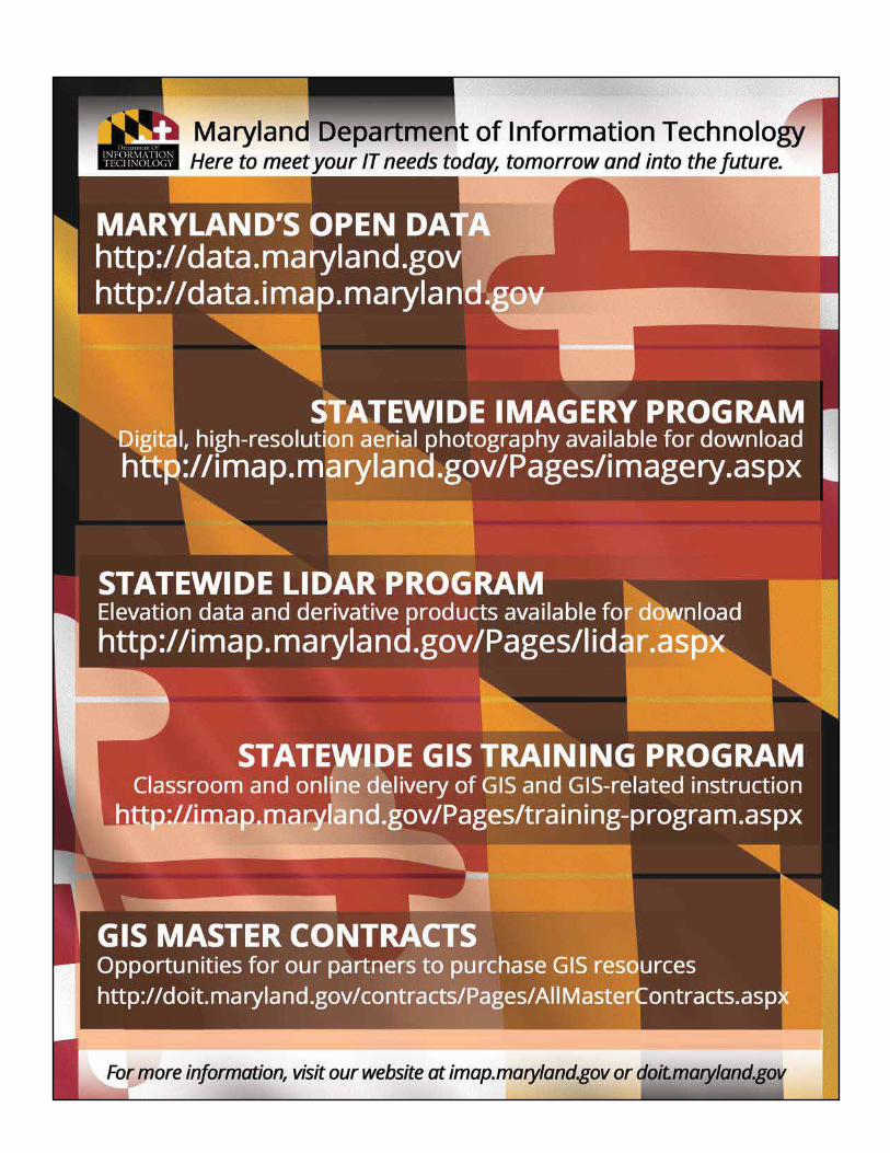
Maryland State GeographicInformation Committee
MSGIC Department OfINFORMATIONTECHNOLOGY
aecom.com
Geospatial Technologies
GEOINT2017.com
Henry B. Gonzalez Convention Center, San Antonio, Texas
June 4-7, 2017
San Antonio
REGISTER TODAY Early Bird Rate Ends March 31
★ Hear from more than 100 geospatial intelligence speakers
★ See the latest technology, services, and solutions from 200+ exhibitors
★ Network with more than 4,000 professionals
★ Learn from 48 hours of training and education
NG9-1-1 GISARE YOU READY?
Attend our webinar on Achieving Public Saftey Grade GIS Data for NG9-1-1.
Sign up at:www.geo-comm.com/ng911giswebinar
Maryland’s Geospatial Conference | 5
WEB DEVELOPMENT (LA 4310)Moderator: Mary Buffington, GISP, Eastern Shore Regional GIS Cooperative
Fulcrum Map StackEric Czajkowski and Josh Souders, Century Engineering
Reporting on Snow OperationsBeth Schrayshuen and Brad Scheitlin, EA Engineering, Science, and Technology, Inc., PBC
Utilization of JavaScript and PHP to Develop a Traffic Analysis Web MapSean Lynn, Washington College
PUBLIC HEALTH (LA 3110)Moderator: Bud Gudmundson, GISP, Washington County
Applications from the Dynamic Visualization of the MERS-CoV EpidemicMichael Schoelen, Defense Health Agency
Measuring the Potential for Exposure to Adverse Childhood Experiences - Research in ProgressChristian Fuller, Baltimore City Health Department
Uninsured Population Outreach ToolJason Lin, Heath Resources and Services Administration (HRSA)
REMOTE SENSING (LA 3303)Brad Spittel, PMP, KCI Technologies, Inc.
Remote Sensing Services to Support Incident Management and Homeland SecurityAndrew Pickford, BAE Systems
So you want to use Drones for GIS? Here’s how Queen Anne’s County got off the ground & you can too!Tyler Pease, and Sam Stanton, Queen Anne’s County
Privacy and GISJohn Palatiello, John M. Palatiello & Associates, Inc.
INNOVATIVE MANAGEMENT APPROACHES (LA 4315)Moderator: Adam Travis, GISP, Phoenix Engineering
MAA’s AIRPortal - An Authoritative Source for GIS Data and Engineering Julie Spangler, JMT; Ali Logmanni, Maryland Aviation Administration
Managing GIS with an Agile Mindset: Systems Engineering and Systems Development Lifecycle ProcessesJoel Gladfelter, WSP | Parsons Brinckerhoff
PANEL – OPEN DATA IMAP (LA 3317)Moderator: Matthew Sokol, GISP, Maryland Department of Information Technology
GIS, Open Data and Beyond – The industry’s place in the mainstream IT environmentMatthew Sokol and Pat McLoughlin, Maryland Department of Information Technology
MINI-WORKSHOP – DATA DRIVEN TOOLS (LA 4101)
Using Data-driven Tools in ArcMap to Automate & Mass-produce Maps for Public ConsumptionSandy Davis and Peter Hadley, Foursquare ITP
12:00 PM - 1:00 PMLunch and Exhibit Showcase(LA 3150 & 4150)
THANK YOU TO OUREXCLUSIVE LUNCHSPONSOR
12:00 - 1:00 PMMSGIC Workgroup Meeting: Elevation Data(LA 3216) 1:00 PM - 1:40 PMConcurrent Session II - Exhibitior Showcase
SYNERGY SYSTEMS & SERVICES INC-MULTI-FACETED GIS USAGE IN TRANSPORTATION (LA 3315)Abhay Nigam, Chris Snyder, and Deepti Natali, Synergy Systems and Services, Inc.
CREATING SOPHISTICATED WEB APPLICATIONS WITH GEOCORTEX WORKFLOW (LA 3317)Craig Robinson, Latitude Geographics
THE MPSGIS PROGRAM AT THE UNIVERSITY OF MARYLAND (LA 3303)Jonathan Resop, University of Maryland
Program

Maryland’s Geospatial Conference | 7
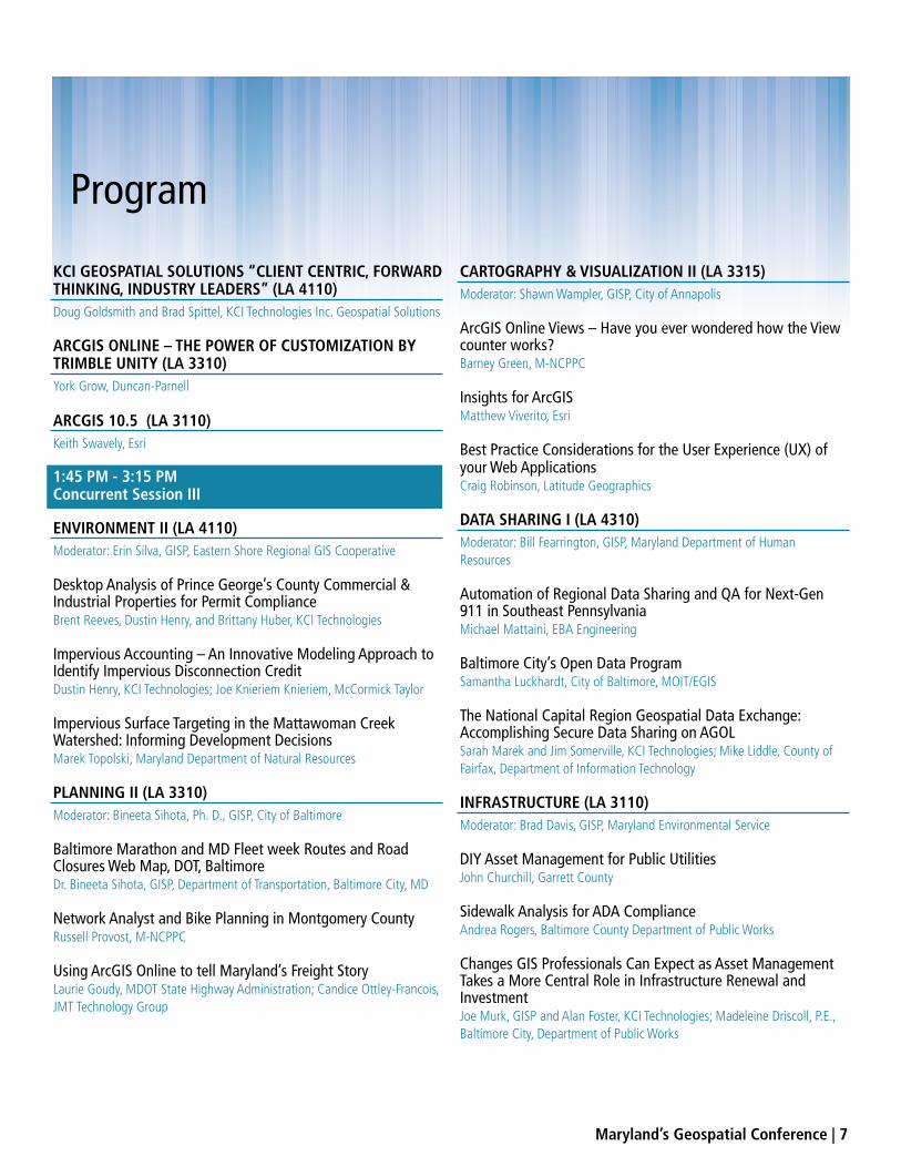
Program
KCI GEOSPATIAL SOLUTIONS “CLIENT CENTRIC, FORWARD THINKING, INDUSTRY LEADERS” (LA 4110)Doug Goldsmith and Brad Spittel, KCI Technologies Inc. Geospatial Solutions
ARCGIS ONLINE – THE POWER OF CUSTOMIZATION BY TRIMBLE UNITY (LA 3310)York Grow, Duncan-Parnell
ARCGIS 10.5 (LA 3110)Keith Swavely, Esri
1:45 PM - 3:15 PMConcurrent Session III
ENVIRONMENT II (LA 4110)Moderator: Erin Silva, GISP, Eastern Shore Regional GIS Cooperative
Desktop Analysis of Prince George’s County Commercial & Industrial Properties for Permit ComplianceBrent Reeves, Dustin Henry, and Brittany Huber, KCI Technologies
Impervious Accounting – An Innovative Modeling Approach to Identify Impervious Disconnection CreditDustin Henry, KCI Technologies; Joe Knieriem Knieriem, McCormick Taylor
Impervious Surface Targeting in the Mattawoman Creek Watershed: Informing Development DecisionsMarek Topolski, Maryland Department of Natural Resources
PLANNING II (LA 3310)Moderator: Bineeta Sihota, Ph. D., GISP, City of Baltimore
Baltimore Marathon and MD Fleet week Routes and Road Closures Web Map, DOT, BaltimoreDr. Bineeta Sihota, GISP, Department of Transportation, Baltimore City, MD
Network Analyst and Bike Planning in Montgomery CountyRussell Provost, M-NCPPC
Using ArcGIS Online to tell Maryland’s Freight StoryLaurie Goudy, MDOT State Highway Administration; Candice Ottley-Francois, JMT Technology Group
CARTOGRAPHY & VISUALIZATION II (LA 3315)Moderator: Shawn Wampler, GISP, City of Annapolis
ArcGIS Online Views – Have you ever wondered how the View counter works?Barney Green, M-NCPPC
Insights for ArcGISMatthew Viverito, Esri
Best Practice Considerations for the User Experience (UX) of your Web ApplicationsCraig Robinson, Latitude Geographics
DATA SHARING I (LA 4310)Moderator: Bill Fearrington, GISP, Maryland Department of Human Resources
Automation of Regional Data Sharing and QA for Next-Gen 911 in Southeast PennsylvaniaMichael Mattaini, EBA Engineering
Baltimore City’s Open Data ProgramSamantha Luckhardt, City of Baltimore, MOIT/EGIS
The National Capital Region Geospatial Data Exchange: Accomplishing Secure Data Sharing on AGOLSarah Marek and Jim Somerville, KCI Technologies; Mike Liddle, County of Fairfax, Department of Information Technology
INFRASTRUCTURE (LA 3110)Moderator: Brad Davis, GISP, Maryland Environmental Service
DIY Asset Management for Public UtilitiesJohn Churchill, Garrett County
Sidewalk Analysis for ADA ComplianceAndrea Rogers, Baltimore County Department of Public Works
Changes GIS Professionals Can Expect as Asset Management Takes a More Central Role in Infrastructure Renewal and InvestmentJoe Murk, GISP and Alan Foster, KCI Technologies; Madeleine Driscoll, P.E., Baltimore City, Department of Public Works
•
•
•
•
•
•
•
•
•
•
•

Maryland’s Geospatial Conference | 9
SURVEYING & GPS (LA 3303)Moderator: Patrick Simon, Prof. LS, Baltimore County
How Do Datums Affect Your Mapping Data?Alan Dragoo, Maser Consulting
Are you Ready for the 2022 Datum Change?David Doyle, Base 9 Geodetic Consulting
LIGHTNING I (LA 4329)Moderator: Charlene Howard, GISP, Metropolitan Washington Council of Governments
Creating a Project Story MapSean Lain, JMT Technology Group
Data Conversion using SQL Server Spatial: Tips and TricksDawn Blanchard, McCormick Taylor
Household Loss and Social Vulnerability Following the August 2016 Louisiana FloodsAlexander Din and Siddharth Pandey, Dewberry
Leveraging the Cloud for GIS PrototypingJim Somerville and Brendan Carroll, KCI Technologies
Managing Multiple Replicas in an Enterprise Utility GISCrystal Parker, JMT Technology Group
Advancing Geospatial Education and Industry Certification in Maryland Public SchoolsRichard McClellan and Anthony Dowell, AECOM, Mid-Atlantic Center for Emergency Management
Utilizing the Model of a Tradecraft Guild to Educate K-12 Students in Geospatial TechnologiesErica McMaster, Washington College
PANEL – NG 9-1-1 (LA 3317)Moderator: Peter Hanna, GISP, Fire Department, City of Baltimore
NG 9-1-1 Panel DiscussionPeter Hanna, Baltimore City Fire Department
3:15 PM - 3:45 PMBuild Your Own Trail Mix Snack Break (LA 4th Floor West Gallery Exhibit Hall)
3:45pm - 5:15pmConcurrent Session IV
ENVIRONMENT III (LA 4110)Moderator: Marian Batton, GISP, JMT Technology Group
Hydrologically Conditioning DEMs for Urban StormwaterJohn Miller, Amec Foster Wheeler
Salt Marsh Habitat Restoration: Combining a Representative Field Study and Geospatial AnalysesEric Yan, EA Engineering, Science, and Technology, Inc., PBC
TRANSPORTATION (LA 3310)Moderator: Marshall Stevenson, Whitney Bailey Cox & Magnani, LLC
One-Maryland-One-Network (OMOC) Project StatusJesse Day and Bryan Kelley, Transcend Spatial Solutions
Maryland’s Road Closure Reporter (MDRC)Marshall Stevenson, Maryland State Highway Administration
Transit System Accident Mapping and Analysis: The Maryland Transit Administration’s Accident Mapping System (AMS)David Sides, Towson University; Leo Fothergill, AECOM
INTEROPERABILITY (LA 3315)Moderator: Theresa Foye, GISP, Maryland Environmental Service
CAD objects vs GIS Geometry - What’s what, and Why They’re DifferentWilliam Garmer, JMT
GIS and BIM Interoperability through Open Standards and PracticesStephen DeVito and Jennifer Hopkins, Procon Consulting, LLC
GIS Data in a CADD World Or How I Learned to Stop Worrying and Love MicrostationNick Walls Wallace, Montgomery and Associates
Program
www.marylandsurveyor.org
Advancing Surveying Technology
Continuing Education Mentoring
Legislative Initiatives Scholarships
The Maryland Society of Surveyors, serving both our members and the public welfare by
advancing the science of Surveying and Mapping, promoting high ethical standards and
professionalism and mentoring the future of our professions.
:
Maryland’s Geospatial Conference | 11
Program
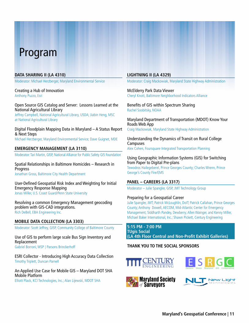
DATA SHARING II (LA 4310)Moderator: Michael Herzberger, Maryland Environmental Service
Creating a Hub of InnovationAnthony Puzzo, Esri
Open Source GIS Catalog and Server: Lessons Learned at the National Agricultural LibraryJeffrey Campbell, National Agricultural Library, USDA; Jiabin Heng, MSC at National Agricultural Library
Digital Floodplain Mapping Data in Maryland – A Status Report & Next StepsMichael Herzberger, Maryland Environmental Service; Dave Guignet, MDE
EMERGENCY MANAGEMENT (LA 3110)Moderator: Tari Martin, GISP, National Alliance for Public Safety GIS Foundation
Spatial Relationships in Baltimore Homicides – Research in ProgressJonathan Gross, Baltimore City Health Department
User-Defined Geospatial Risk Index and Weighting for Initial Emergency Response MappingJonas Miller, U.S. Coast Guard/Penn State University
Resolving a common Emergency Management geocoding problem with GIS-CAD integrations.Rich DeBell, EBA Engineering Inc.
MOBILE DATA COLLECTION (LA 3303)Moderator: Scott Jeffrey, GISP, Community College of Baltimore County
Use of GIS to perform large scale Bus Sign Inventory and ReplacementGabriel Borroni, WSP | Parsons Brinckerhoff
ESRI Collector - Introducing High Accuracy Data CollectionTimothy Triplett, Duncan Parnell
An Applied Use Case for Mobile GIS – Maryland DOT SHA Mobile PlatformElliott Plack, KCI Technologies, Inc.; Alan Lijewski, MDOT SHA
LIGHTNING II (LA 4329)Moderator: Craig Mackowiak, Maryland State Highway Administration
McElderry Park Data ViewerCheryl Knott, Baltimore Neighborhood Indicators Alliance
Benefits of GIS within Spectrum SharingRachel Soobitsky, NOAA
Maryland Department of Transportation (MDOT) Know Your Roads Web AppCraig Mackowiak, Maryland State Highway Administration
Understanding the Dynamics of Transit on Rural College CampusesAlex Cohen, Foursquare Integrated Transportation Planning
Using Geographic Information Systems (GIS) for Switching from Paper to Digital Pre-plansTewodros Hailegeberel, Prince Georges County; Charles Wrenn, Prince George’s County Fire/EMS
PANEL – CAREERS (LA 3317)Moderator – Julie Spangler, GISP, JMT Technology Group
Preparing for a Geospatial CareerJulie Spangler, JMT; Patrick McLoughlin, DoIT; Patrick Callahan, Prince Georges County; Anthony Dowell, AECOM, Mid-Atlantic Center for Emergency Management; Siddharth Pandey, Dewberry; Allen Wainger, and Kenny Miller, Michael Baker International, Inc.; Shawn Pickett, Century Engineering
5:15 PM - 7:00 PMTUgis Social(LA 4th Floor Central and Non-Profit Exhibit Galleries)
THANK YOU TO THE SOCIAL SPONSORS

Co
pyr
igh
t © 2
017
Esr
i. A
ll ri
gh
ts r
ese
rve
d.
At Esri®, we do more than talk about smart communities.
We help create them.
For decades, we have partnered with thousands of governments of
all sizes, all around the world. Through these partnerships we built
ArcGIS® for State Government and ArcGIS for Local Government—
a series of application templates to help you overcome real-world
challenges related to the economy, health, infrastructure, and
public safety. You can download these apps and start creating your
smart community today. Smart communities start here.
Learn more at esri.com/smartcommunities.

Maryland’s Geospatial Conference | 13
Exhibitors & Locations
WEST GALLERY
W1-Synergy Systems & Services
W2-Eagleview Pictometry
W3-Axis Geospatial
W4-Print-O-Stat
W5-Latitude
W6-Wallace Montgomery and Associates
W7-Voyager
W8-WSP | Parsons Brinckerhoff
WNP1-CCBC Geospatial Applications Program
WNP2-NOAA
NON-PROFIT GALLERY
NP1-JHU Advanced Academic Programs
NP2- Maryland Environmental Service
NP3- Maryland State Geographic Information Committee
NP4- Maryland Geographic Alliance / TU Geography and Environmental Planning
NP5- University of Maryland College Park, Department of Geographical Sciences
CENTRAL GALLERY
AC1-JMT
AC2-KCI Technologies
C1-Duncan Parnell
C2-EA Engineering, Science, Technology, Inc.
C3-Michael Baker International
C4-Esri
C5-Esri
C6-Whitney Bailey Cox & Magnani, LLC
C7-Keystone Precision Instruments
C8-McCormick Taylor
C9-Spatial Systems Associates, Inc.
C10-Maryland Society of Surveyors
C11-ECO Integration, Inc
C12-RK&K
CNP1-Eastern Shore Regional GIS Cooperative
CNP2-Center for GIS at Towson University
THANK YOU TO OUR ANCHOR EXHIBITORS

TUgis 2018T O W S O N U N I V E R S I T Y
SAVE DATEthe
M A R C H 1 9 – 2 0
TU is committed to positive impacts, making a difference, and transforming lives in the Greater Baltimore region—but we don’t do this work alone.
We do it through partnerships.
To celebrate the 10TH anniversary of the event, we are moving to SECU Arena. We can now accommodate more exhibitors, more partners, and more community members.
Monday, April 24, 2017 | 11:30 AM–2:00 PM | SECU Arena | Lunch Provided
SHOWCASE yearsCELEBRATING
PARTNERSHIPS
JOIN USPre-register at www.towson.edu/Showcase

Maryland’s Geospatial Conference | 15
MAJORS:Geography & Environmental PlanningGeography & Land Surveying
MINORS:GeographyGeographic Information SciencesMeteorology
COMBINED MAJORS:Geography and EconomicsGeography and HistoryGeography and Political ScienceGeography and Sociology-Anthropology
GeographyEssential to business, government, science, and education
towson.edu/Geography
410-704-2973
facebook.com/TUGeography
MSGIC was formed in 1992 to help better serve the GIS community in Maryland. MSGIC members represent all levels of government, academia, regional organizations, and private industry. Through our volunteer organization, our goal is to help make GIS in Maryland better.
MEMBER BENEFITS▶ GIS Advocacy / Voice in Maryland GIS ▶ Professional Networking Events▶ Directory of Geospatial Professionals in MD ▶ Strategic Partnerships With Other Organizations ▶ Technical Training Opportunities ▶ Website ‘Members Only’ Areas ▶ MSGIC Presence at Conferences / Exhibits ▶ Student Scholarships▶ Internships
GET INVOLVEDAttend a Regional Quarterly Meeting
Our Caucuses▶ State Government▶
▶ Regional Council▶
▶ Federal Government▶ Education
Our Subcommittees▶ Data and Resources▶ Education▶ Grant Development▶ Outreach
STAY INFORMED WITH EVERYTHING GEOSPATIAL IN MARYLAND!
Maryland State GeographicInformation Committee
MSGIC
Visit / Join at MSGIC.org
Read our Blog MSGIC.org/wordpress/blog/
Join the conversation on LinkedIn (MSGIC)
Follow us on Twitter @MSGIC_MD