Embed Size (px)
Citation preview

USGS Capabili+es to Support Venus Missions
Timothy Titus, Randy Kirk, Trent Hare, David Portree, Laz Kestay; USGS
VEXAG MeeCng#14 Wednesday, November 30, 2016 – 2:15pm EST
Objec+ves:
• Get the Venus community thinking about USGS contribuCons for future mission proposals. • Get the USGS thinking about how best to support Venus • Provide Links to USGS products/services • Prepare/Educate the next generaCon
• Highlight USGS CapabiliCes • Data User Workshops • MRCTR GIS Lab • Image Processing • Cartography • Nomenclature • Data Archival • Science ExperCse • Enables Data Fusion & • Change DetecCon

Agenda
• USGS Astrogeology Overview • Current CapabiliCes/Experience • Past Products • Summary
Eugene Cernan (foreground) and Harrison Schmia drive Grover; fenders installed, note Apollo geologic tools in rear rack.
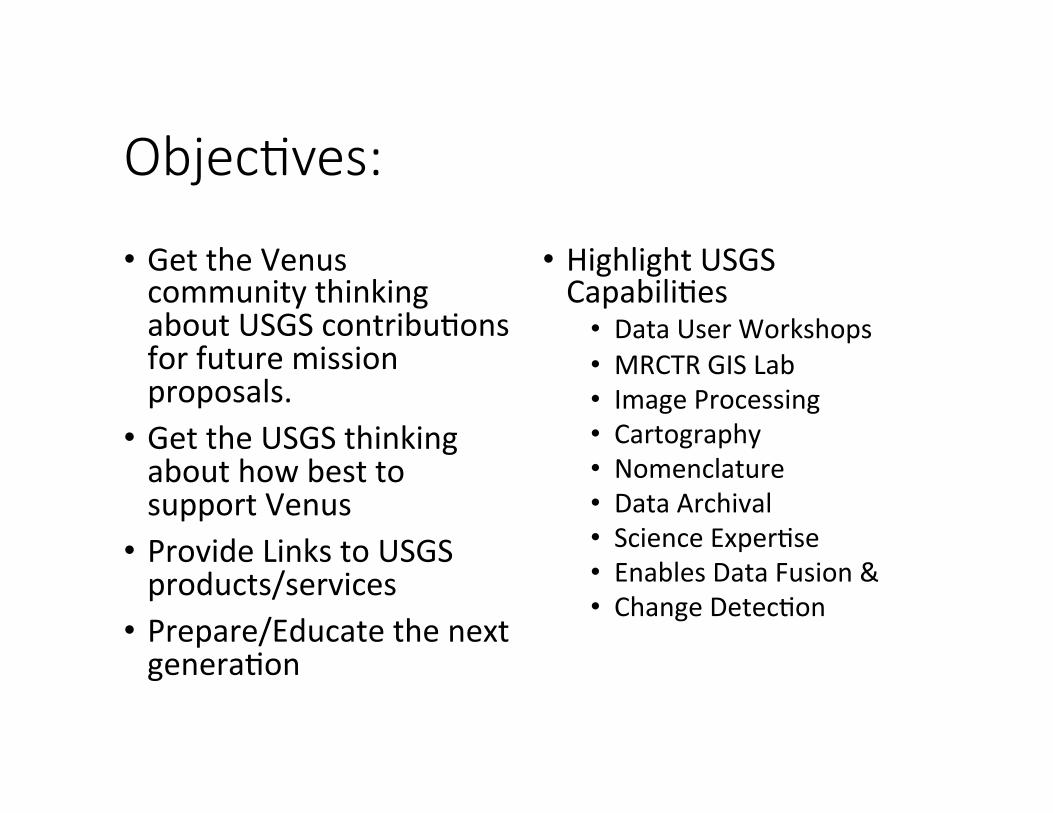
In the spirit of Lewis and Clark: 1961 Photogeologic Map
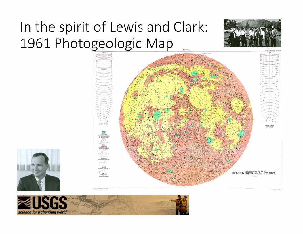
USGS Flagstaff Campus
Astrogeology
Research
Missions
Archival
Cartographic Socware
GIS/Mapping
Nomenclature
Biology
Grand Canyon Monitoring
Drylands
Geography Geology Hydrology
USGS Flagstaff Campus: 1963 to the present.
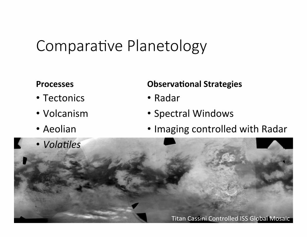
Titan Cassini Controlled ISS Global Mosaic
Compara+ve Planetology
Processes • Tectonics • Volcanism • Aeolian • Vola%les
Observa,onal Strategies • Radar • Spectral Windows • Imaging controlled with Radar

Cradle-‐to-‐Grave and Beyond
• ISIS3 • PDS Annex
• ISIS3 • SOCET SET
• Mission Support
• PDS Imaging Node
• RPIF Data Processing
Analysis Archival
• Adds Value to Mission Data • Cartography • CalibraCon
• Socware and the Data available and usable post-‐mission • PDS Annex accepts higher-‐order products • Geologic Maps

Integrated SoPware for Imagers and Spectrometers (ISIS3) Version 3: Currently Supports: • Apollo • Cassini • Chandrayaan 1 • Clemen,ne • Dawn • Galileo • Hayabusa • Kaguya • Lunar Orbiter • Lunar Reconnaissance Orbiter • Mariner
• Mars Explora,on Rover • Mars Express • Mars Global Surveyor • Mars Odyssey • Mars Reconnaissance Orbiter • Messenger • Near Earth Asteroid Rendezvous
• New Horizons • RoseHa • Viking • Voyager
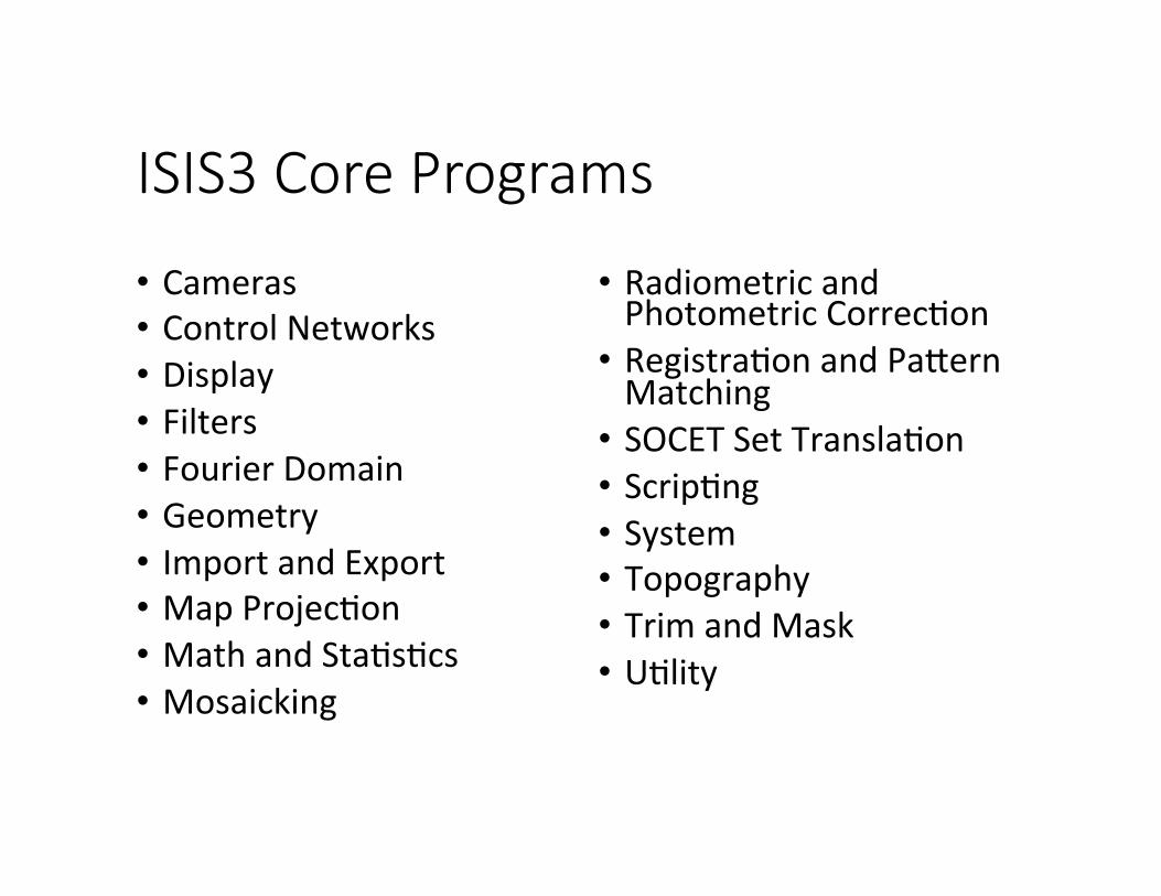
ISIS3 Core Programs
• Cameras • Control Networks • Display • Filters • Fourier Domain • Geometry • Import and Export • Map ProjecCon • Math and StaCsCcs • Mosaicking
• Radiometric and Photometric CorrecCon • RegistraCon and Paaern Matching • SOCET Set TranslaCon • ScripCng • System • Topography • Trim and Mask • UClity
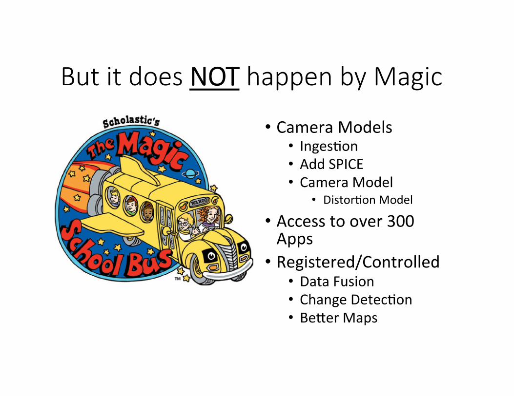
But it does NOT happen by Magic
• Camera Models • IngesCon • Add SPICE • Camera Model
• DistorCon Model
• Access to over 300 Apps • Registered/Controlled • Data Fusion • Change DetecCon • Beaer Maps

PDS Imaging Node, RPIF, Nomenclature, Data Workshops • Imaging Node • Partnered with JPL • Lead for Science
• Regional Planetary Imaging Facility (RPIF) • Venus Maps
• The PDS Cartography and Imaging Sciences Node (IMG) Annex is a new data portal • GeospaCal Products • Databases
• MRCTR GIS Lab • 3nd Data Workshop • June 12-‐15, 2017 • Flagstaff, AZ
• Nomenclature

USGS Maps from the RPIF

Free USGS Maps and Brochures

The Past: Magellan Entered orbit 10 October 1990, deorbited 13 October 1994

The Past: Magellan support • Spacecrac Team processed the Level 1 SAR data to Level 2 (rasters in map projecCon): • Level 2 Requires No Sensor Model • Generic Map manipulaCon and image processing • PC2D developed to create topographic maps
• A full sensor model for SOCET Set and developed the capability to do stereotopographic mapping. • Capability will need to be migrated to SOCET GXP • We made DTMs and topo maps of two 5° FMAP quads and a smaller test area before the Carto program decided Venus wasn't interesCng any more. • Data is available to generate DTMs for 2 addiConal FMAP Quads

The Past: Magellan Products
• Venus DTMs that the USGS made (~10 years ago). • The Magellan mosaics Astro created (Lec, Right, Stereo) • DEM used for this colorized product which will also be added soon to the PDS Annex (and MAP). • This is born from the GTDRs but filled to cover the gaps.
• The current list of Venus geologic maps being worked on can be listed here. • Astropedia (acCvely converCng these paper maps to GIS)

USGS Data Exper+se
People • Larry Soderblom (ScienCst Emeritus) • Randy Kirk (ScienCst Emeritus) • Bonnie Redding
Data Types • Venus Surface Data will most likely either be some form of Radar or the 0.9-‐1um region. • USGS Radar Experience • Magellan • Cassini • LRO Mini-‐RF
The 3D view reveals mulCple mountain peaks, deep pits and finger-‐like flows at Sotra Facula. CREDIT: NASA/USGS

USGS Astrogeology Science Exper+se
Tectonics • Bland • Okubo
Volcanism • Kestay • Milazzo • Vaughan
Aeolian • Titus • Hayward
Socware tools improved when a local scienCst is involved.
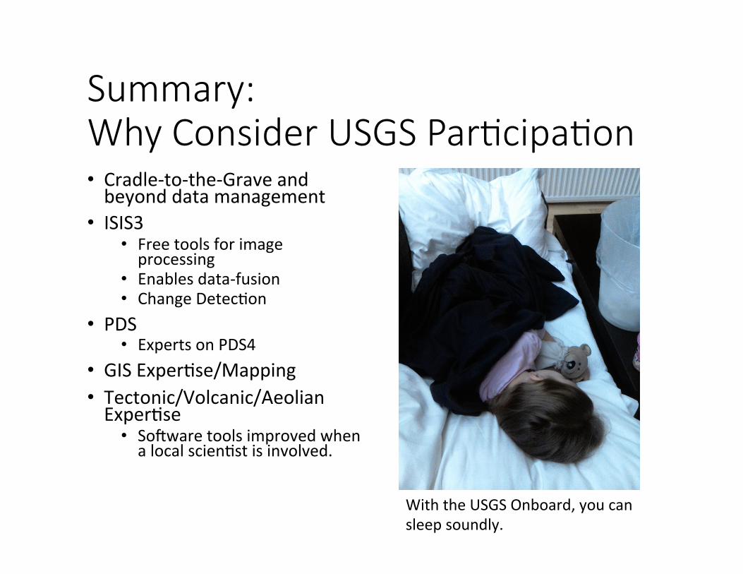
Summary: Why Consider USGS Par+cipa+on • Cradle-‐to-‐the-‐Grave and beyond data management
• ISIS3 • Free tools for image processing
• Enables data-‐fusion • Change DetecCon
• PDS • Experts on PDS4
• GIS ExperCse/Mapping • Tectonic/Volcanic/Aeolian ExperCse • Socware tools improved when a local scienCst is involved.
With the USGS Onboard, you can sleep soundly.