Embed Size (px)
Citation preview

The Four Candidate Earth Explorer Core Missions Consultative Workshop 12-14 October 1999, Granada, Spain, Revised 2006-01-05 by CCT
GOCE
S 1
Science and Application
Impact Study 2: Geostrophic Current (OCCAM)
< 250 km< 1000 km
OCCAM
The Four Candidate Earth Explorer Core Missions Consultative Workshop 12-14 October 1999, Granada, Spain, Revised 2006-01-05 by CCT
GOCE
S 2
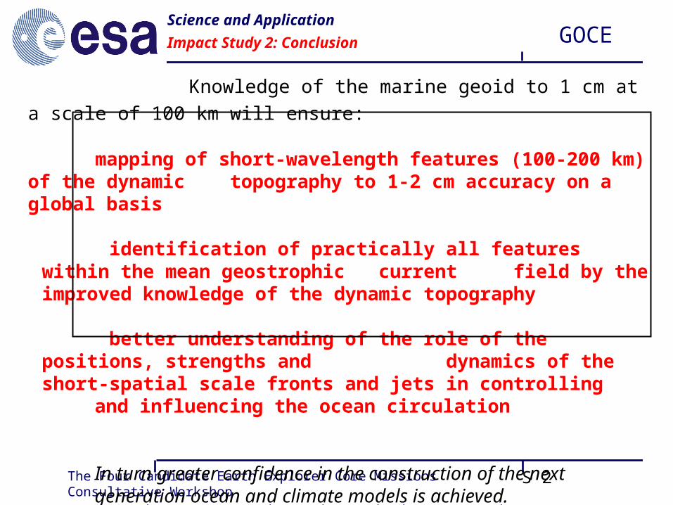
Knowledge of the marine geoid to 1 cm at a scale of 100 km will ensure:
mapping of short-wavelength features (100-200 km) of the dynamic topography to 1-2 cm accuracy on a global basis
identification of practically all features within the mean geostrophic current field by the improved knowledge of the dynamic
topography
better understanding of the role of the positions, strengths and dynamics of the short-spatial scale fronts and jets in controlling
and influencing the ocean circulation
In turn greater confidence in the construction of the next generation ocean and climate models is achieved.
Science and Application
Impact Study 2: Conclusion

The Four Candidate Earth Explorer Core Missions Consultative Workshop 12-14 October 1999, Granada, Spain, Revised 2006-01-05 by CCT
GOCE
S 3
study areas: - several sections in the South Atlantic
input data:- dynamic ocean topography from hydrography
inverse model assimilating hydrographic data and:- altimeter derived mean sea surface, - best available gravity field model (EGM96)
- GOCE simulated geoid error field
Science and Application
Impact Study 3: Ocean Flux Estimates

The Four Candidate Earth Explorer Core Missions Consultative Workshop 12-14 October 1999, Granada, Spain, Revised 2006-01-05 by CCT
GOCE
S 4
Science and Application
Impact Study 3: Ocean Flux Estimates
Mean dynamic topography obtained from inverse model, T/P and EGM96 Sections with transport estimates are marked.

The Four Candidate Earth Explorer Core Missions Consultative Workshop 12-14 October 1999, Granada, Spain, Revised 2006-01-05 by CCT
GOCE
S 5
Science and Application
Impact Study 3: Results
reduction in transport uncertainty when the inverse model is constrained by simulated GOCE geoid height error spectrum instead of best available gravity field model from EGM96

The Four Candidate Earth Explorer Core Missions Consultative Workshop 12-14 October 1999, Granada, Spain, Revised 2006-01-05 by CCT
GOCE
S 6
Knowledge of the marine geoid to 1 cm at a scale of 100 km will ensure:
significant reduction in oceanic transport uncertainties;
- in general most prominent in the upper ocean
- as large as 30%-50% for the South Atlantic
- up to 60% in narrow and intense current paths
- in absolute terms this typically range from 1 to 4 Sv with maxima of the order of 10 Sv (1Sv = 106 m3/s)
Science and Application
Impact Study 3: Conclusion

The Four Candidate Earth Explorer Core Missions Consultative Workshop 12-14 October 1999, Granada, Spain, Revised 2006-01-05 by CCT
GOCE
S 7
Science and Application
Oceanography - Summary

The Four Candidate Earth Explorer Core Missions Consultative Workshop 12-14 October 1999, Granada, Spain, Revised 2006-01-05 by CCT
GOCE
S 8
The GOCE gravity field model with an an accuracy of 1 mgalat a scale of 100 km will:
advance the capabilities to estimate polar ice sheet dynamics and volume changes through combination of bedrock topography derived from space gravity and ice sheet surface topography
Science and Application
Ice Sheets

The Four Candidate Earth Explorer Core Missions Consultative Workshop 12-14 October 1999, Granada, Spain, Revised 2006-01-05 by CCT
GOCE
S 9
The GOCE derived gravity field model and geoid will provide:
• unified global height systems for various sciences & applications
• “levelled” heights from the combination of GPS and the geoid model
• inertial navigation freed of gravity induced errors
• better satellite orbits
Science and Application
Geodesy

The Four Candidate Earth Explorer Core Missions Consultative Workshop 12-14 October 1999, Granada, Spain, Revised 2006-01-05 by CCT
GOCE
S 10
Science and Application
Geodesy - Levelled Heights

The Four Candidate Earth Explorer Core Missions Consultative Workshop 12-14 October 1999, Granada, Spain, Revised 2006-01-05 by CCT
GOCE
S 11
Science and Application
Geodesy - Summary

The Four Candidate Earth Explorer Core Missions Consultative Workshop 12-14 October 1999, Granada, Spain, Revised 2006-01-05 by CCT
GOCE
S 12
Science and Application
Sea Level Change Study: Tidal Records

The Four Candidate Earth Explorer Core Missions Consultative Workshop 12-14 October 1999, Granada, Spain, Revised 2006-01-05 by CCT
GOCE
S 13
Science and Application
Sea Level Change: Conclusion
solid earth sea levelgeodesyiceocean
gravityanomalies
geoidgravityanomalies
geoid
tide gaugesaltimetry
positioning (GPS)
icetopography
oceanaltimetry
post glacialRebound
mean oceancirculation
ice mass balance
orbits
unified height systems
levelled heights
unifiedheight system
bedrocktopography
mean oceancirculation
seismictomograpy
topography
deformations
laboratory
mass balance of ice sheets
constraints on mass
&heat transport
anomalousdensity
structure
gravity anomalies
INS + orbits
+ + ++


