Embed Size (px)
Citation preview

The Finger Lakes Region New York State
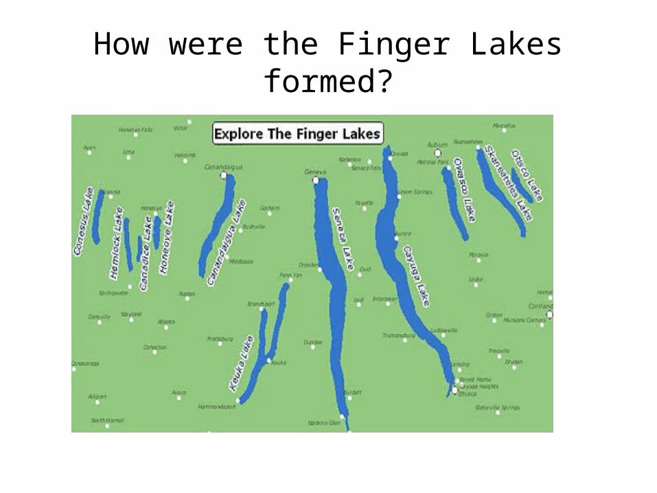
How were the Finger Lakes formed?
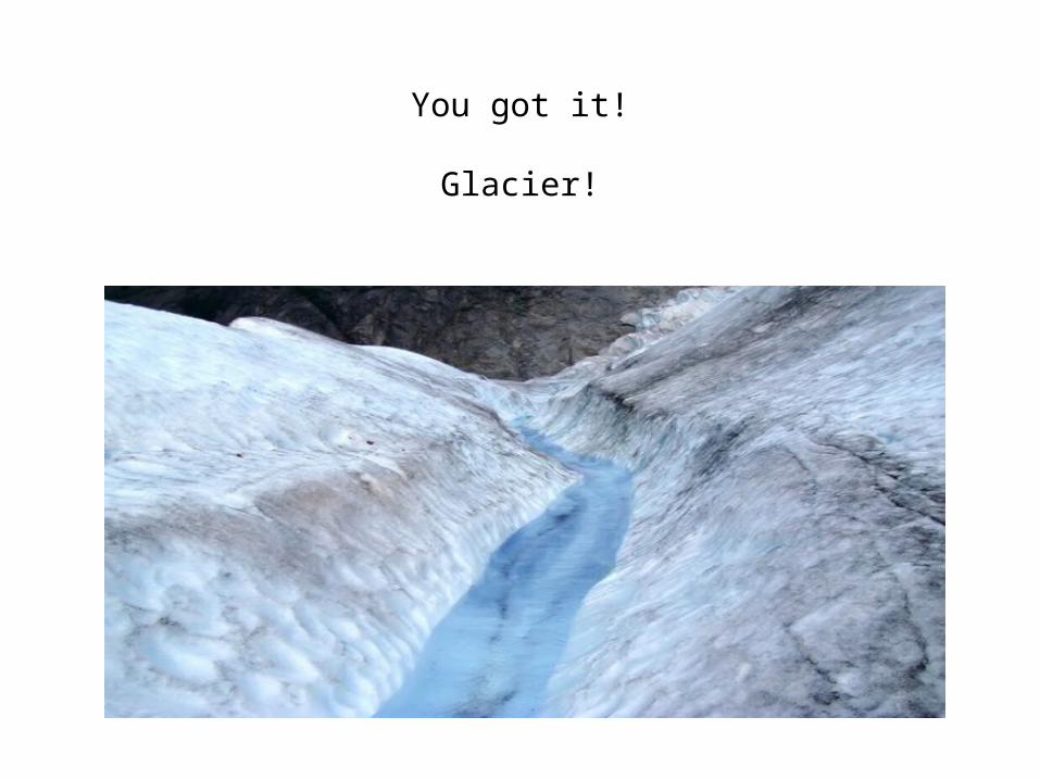
You got it!
Glacier!
What glacier was it?
•North American Ice Age
•Wisconsin Glaciation
When was this Ice Age?
• Began about 2 million years ago
• Ended about 6 thousand years ago
• Wisconsin glaciation peeked about 20 thousand years ago

So…..When were our beautiful Finger Lakes formed?
• Between 20,000 and 6,000 years ago when the Wisconsin Glacier peeked and receded.
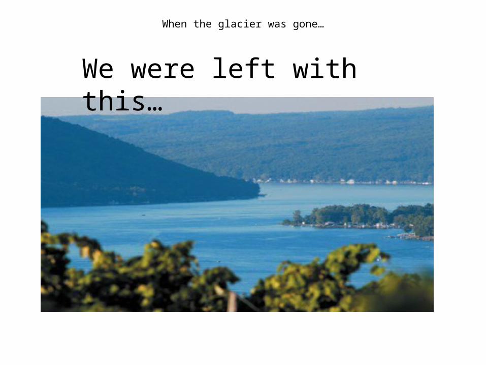
When the glacier was gone…
We were left with this…
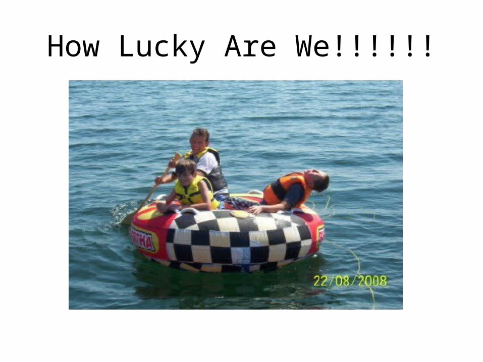
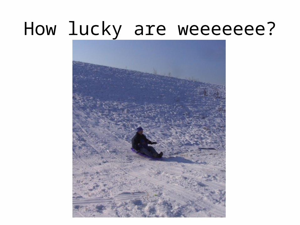
How Lucky Are We!!!!!!
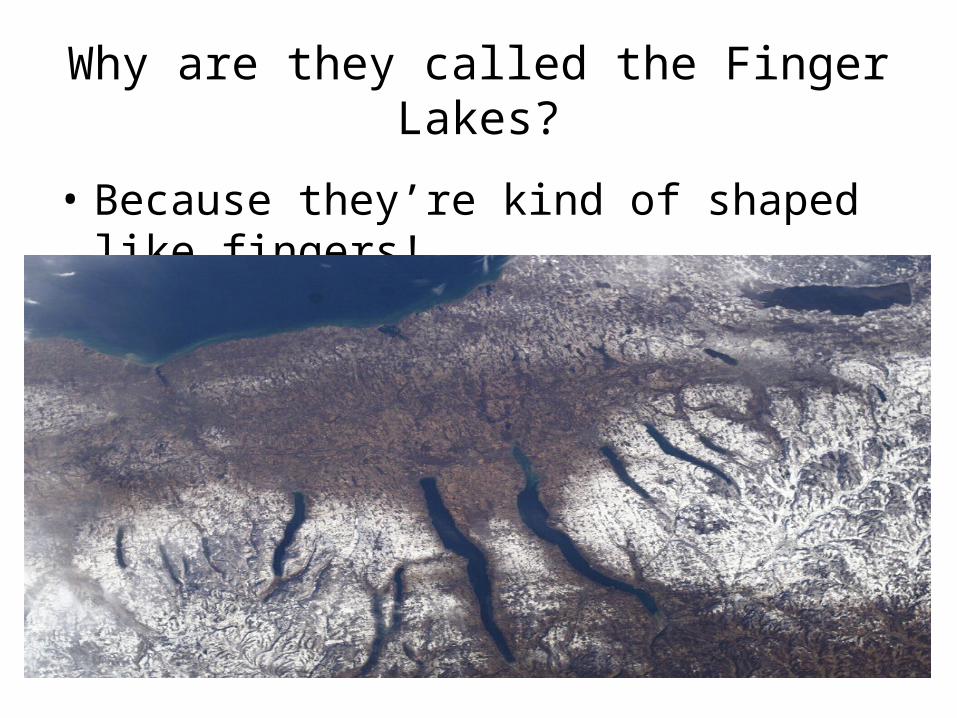
Why are they called the Finger Lakes?
• Because they’re kind of shaped like fingers!
Was the entire Finger Lakes Region under ice?
• Yes! – 1 mile thick ice!– All of NYS except SW corner of state.– Even highest peaks of Adirondack Mts.– OVID, NY !!!!! Brrrrr……..Chilly !!!

What about the glacier caused it to create these fingers?
• Prior existing streams in the region
• Weight of the ice filled and pushed through stream valleys gouging deeper valleys and becoming lakes.
Were there ever other lakes than the ones we see today?
• Yes !!!– Interestingly enough…. There was one and it
interconnected between Cayuga Lake and Seneca Lake, approximately from Ovid to Ithaca! It was
called Lake Newberry!
Did you know that?
Where does the gouging of the Finger Lakes fit on the geological time scale
….the history of Earth?• First…..a test from 6th grade science…….
• How old is Earth?
• Yes, 4.6 billion years old!
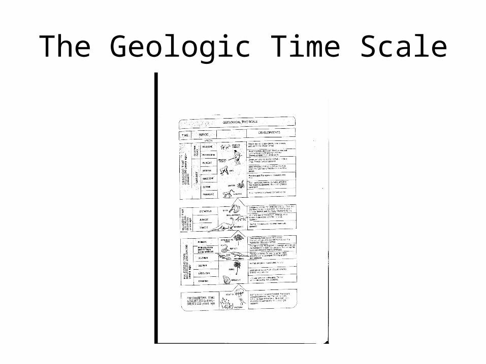
The Geologic Time Scale
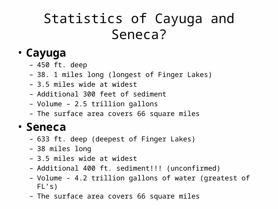
Statistics of Cayuga and Seneca?• Cayuga
– 450 ft. deep– 38. 1 miles long (longest of Finger Lakes)– 3.5 miles wide at widest– Additional 300 feet of sediment– Volume – 2.5 trillion gallons– The surface area covers 66 square miles
• Seneca– 633 ft. deep (deepest of Finger Lakes)– 38 miles long– 3.5 miles wide at widest– Additional 400 ft. sediment!!! (unconfirmed)– Volume - 4.2 trillion gallons of water (greatest of FL’s)– The surface area covers 66 square miles
Drumlins
• Do you know what a drumlin is and do you know about our fortune?
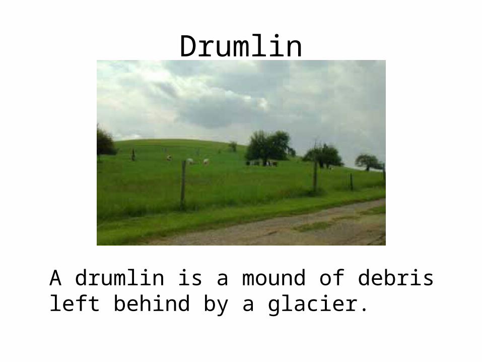
Drumlin
A drumlin is a mound of debris left behind by a glacier.
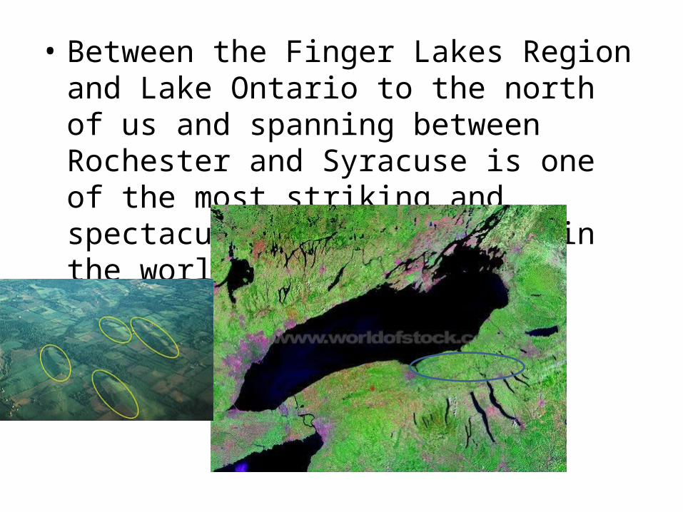
• Between the Finger Lakes Region and Lake Ontario to the north of us and spanning between Rochester and Syracuse is one of the most striking and spectacular drumlin fields in the world!
How lucky are weeeeeee?
How does this geography that was formed by glaciers millions to
thousands of years ago affect our everyday lives today?
Numerous Ways!!

• If you live in Willard, do you have more friends in Interlaken or in Dresden?
You only live about 3 miles from Dresden….As the crow flies!
But instead, you have to drive 40 miles to get there!!!
You live 10 miles from Interlaken….and….you only have to drive 10 miles to get there!
How else are you affected by this geography?
Think about……
• Where you live• Where you go to school• Where you shop• Why your family members work where they do• What activities you do• What your family does for leisure• What opportunities there are around you
Contemplate these things this summer. It can lead to a lot of great discussion and realization about the fact that our lives are
shaped by the shape of the land on which we live!

Be Happy….
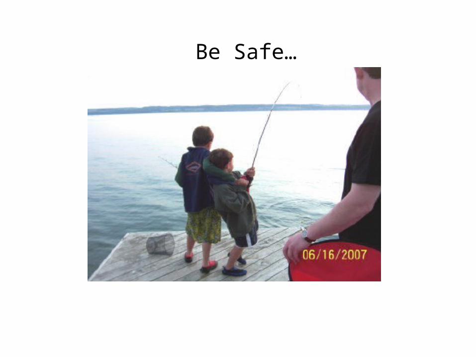
Be Safe…

Have fun…..
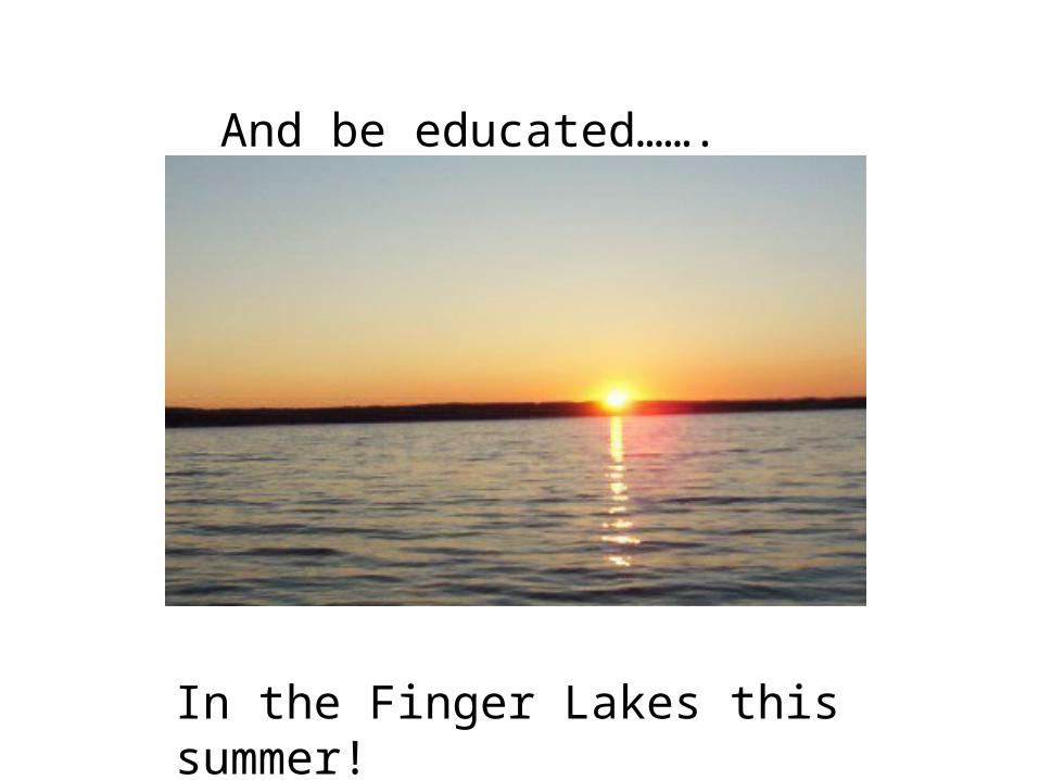
And be educated…….
In the Finger Lakes this summer!