Embed Size (px)
Citation preview

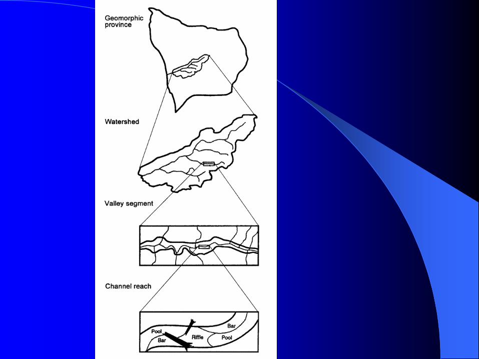
Stream Stream GeomorphologyGeomorphology

WatershedWatershed
The line that demarcates the topographic “shedding” of the water across the landscape.

CatchmentCatchment
The area of a landscape within the watershed boundary that routes water to the river network.
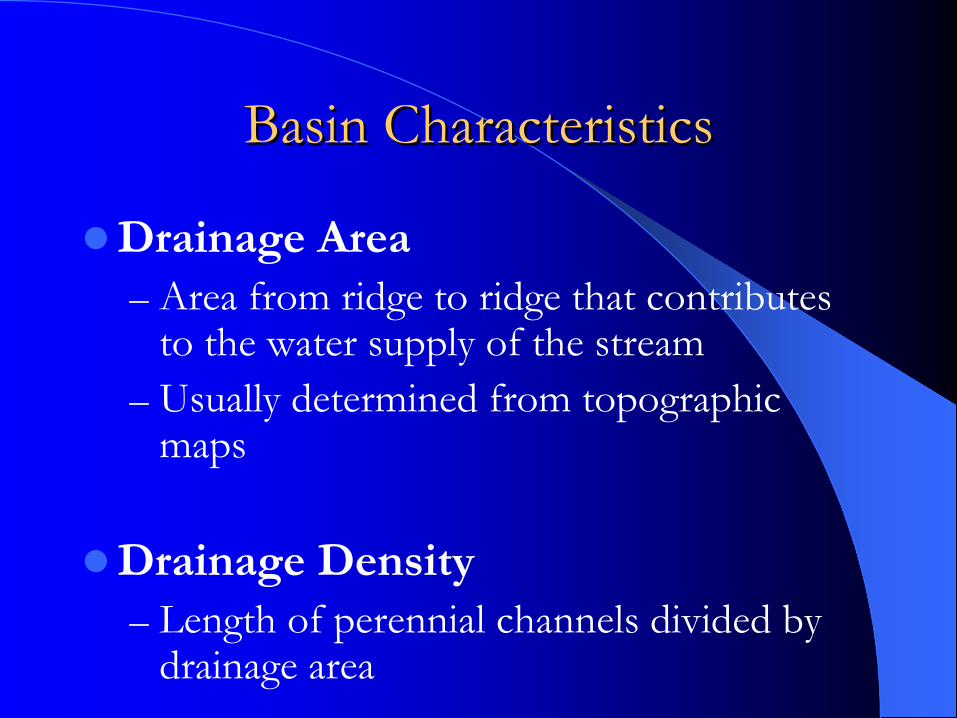
Basin CharacteristicsBasin Characteristics
Drainage Area– Area from ridge to ridge that contributes
to the water supply of the stream– Usually determined from topographic
maps
Drainage Density– Length of perennial channels divided by
drainage area
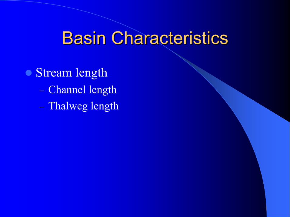
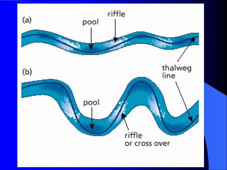
Basin CharacteristicsBasin Characteristics
Stream length– Channel length– Thalweg length

Drainage PatternsDrainage Patterns

Stream NetworkStream Network-- OrderOrder
Stream order (Strahler 1952)– Horton 1932– Strahler 1952– Shreve 1967

Stream NetworkStream Network-- OrderOrder
Stream order (Strahler 1952)– Perennial streams without tributaries are
termed first-order– When two streams of equal order come
together, the downstream reach is increased one order

Stream NetworkStream Network-- OrderOrder

Stream NetworkStream Network-- Link MagnitudeLink Magnitude
Link Magnitude (Shreve 1966)– Each junction is a link– Link magnitude is the sum of the links
Exterior link magnitude includes the lower channel (n)Interior link magnitude is 1 less than exterior link magnitude (n-1)

Stream Network ComparisonStream Network Comparison
Bifurcation ratio
Rb = # of segments of a given order # of segments of next highest order
Average Rb - 3.5Range is 2 – 5Trees – 3.2 Lightening – 3.5 Veins – 3.4

Relief ratio– Rr = h/L– \h = Difference in elevation– L = Maximum length

Mean Stream Slope
S = (Es – Em )/ L
Es = Elevation at sourceEm = Elevation at mouthL = Length

Longitudinal ProfilesLongitudinal Profiles
Diagrammatic representation of change in elevation with distanceSteeper slopes in the headwaters– Slope expressed as percent or degrees (100% =
45 degrees)
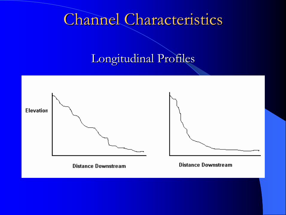
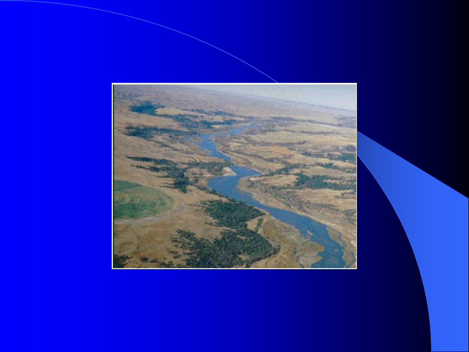
Channel CharacteristicsChannel Characteristics
Longitudinal ProfilesLongitudinal Profiles


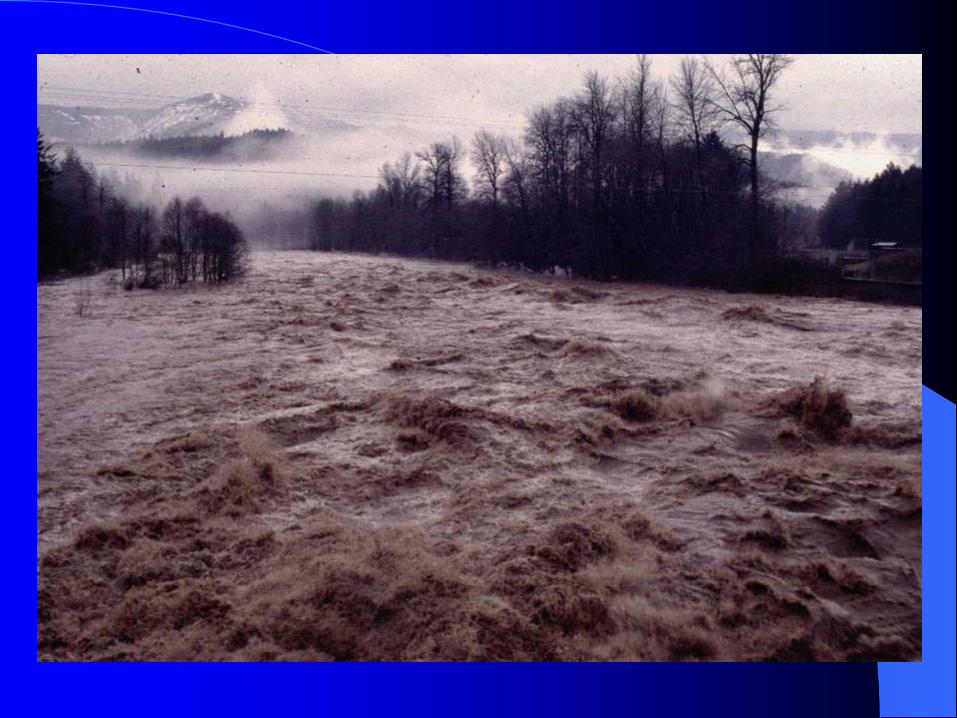

Flood Recurrence IntervalFlood Recurrence Interval
The average length of time within which a specific magnitude of flood will occur once.
Predicted from the historic record and/or the site-specific runoff and climatic conditions of the contributing watershed.

Flood Recurrence IntervalFlood Recurrence Interval
Important factors include variations in storm duration and the intensity of rain, rain-on-snow, and snow melt events.
A one-in-200-year flood event is an event that has an average recurrence interval of 0.005.

Flood Recurrence IntervalFlood Recurrence Interval
P = 1/T
P = Exceedence probability
T = Recurrence interval

Flood Recurrence IntervalFlood Recurrence Interval
Recurrence Interval
T = (n + 1)/m
n = Number of years of record
m = rank in record

WeibullWeibull PlotPlot
Q
T or P

Floods Over Time Range Floods Over Time Range
Probability that a flood with a recurrence interval of T will occur or be exceeded within a given number of years
P = 1 - [1 – 1/T]n

Floods Over Time RangeFloods Over Time Range
100-yr T in 70 yr = 50.5%
100-yr T in 30 yr = 26.0%
50-yr T in 70 yr = 75.7%