Embed Size (px)
Citation preview

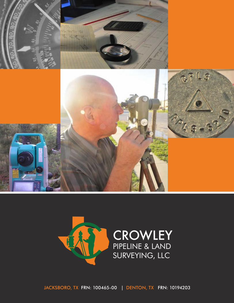
Statement of Qualifications
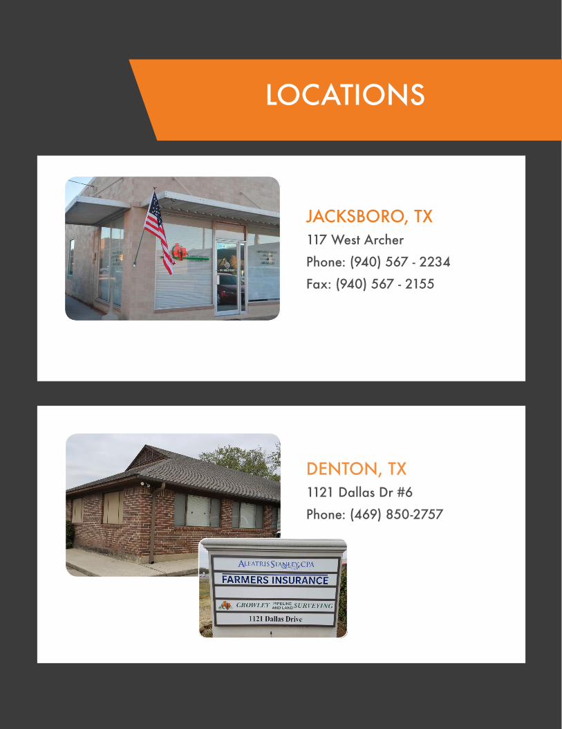
JACKSBORO, TX 117 West Archer
Phone: (940) 567 - 2234
Fax: (940) 567 - 2155
DENTON, TX 1121 Dallas Dr #6
Phone: (469) 850-2757
LOCATIONS
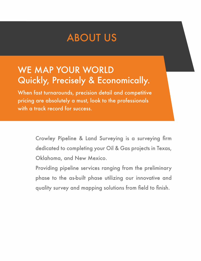
ABOUT US
WE MAP YOUR WORLD Quickly, Precisely & Economically.When fast turnarounds, precision detail and competitive pricing are absolutely a must, look to the professionals with a track record for success.
Crowley Pipeline & Land Surveying is a surveying firm
dedicated to completing your Oil & Gas projects in Texas,
Oklahoma, and New Mexico.
Providing pipeline services ranging from the preliminary
phase to the as-built phase utilizing our innovative and
quality survey and mapping solutions from field to finish.
LOCATIONS
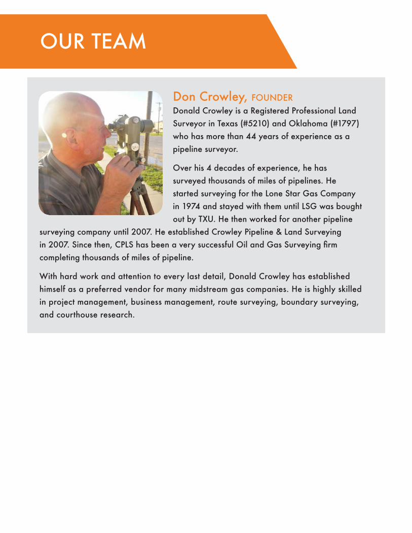
Don Crowley, founderDonald Crowley is a Registered Professional Land Surveyor in Texas (#5210) and Oklahoma (#1797) who has more than 44 years of experience as a pipeline surveyor.
Over his 4 decades of experience, he has surveyed thousands of miles of pipelines. He started surveying for the Lone Star Gas Company in 1974 and stayed with them until LSG was bought out by TXU. He then worked for another pipeline
surveying company until 2007. He established Crowley Pipeline & Land Surveying in 2007. Since then, CPLS has been a very successful Oil and Gas Surveying firm completing thousands of miles of pipeline.
With hard work and attention to every last detail, Donald Crowley has established himself as a preferred vendor for many midstream gas companies. He is highly skilled in project management, business management, route surveying, boundary surveying, and courthouse research.
OUR TEAM

Anthony CrowleyAnthony Crowley is a Registered Professional Land Surveyor in the State of Texas (#5210), Oklahoma (#1797) & New Mexico (#25031), who is experienced in a wide range of specialty Oil and Gas projects.
Anthony holds a Bachelor of Science Degree in Geography and an undergraduate certificate in Geographic Information Systems (GIS) from the University of North Texas.
As a land surveyor, he has helped clients develop CAD and GIS standards and introduced different methods of data collection to ensure a comprehensive picture of the project is accurately produced. He is also highly skilled in land development, aerial surveys (sUAS), boundary surveys. He is technically proficient with Civil3d, ArcGIS, Carlson Civil Suite, QGIS, Global Mapper, and LiDAR acquisition. Recently, he has successfully integrated traditional surveying techniques with mobile LiDAR and sUAS derived photogrammetric point clouds to map several gas compressor facilities.
Michael BlackMichael Black is a Professional Land Surveyor in Oklahoma (#1982) who is experienced in Pipeline Gathering Systems and Boundary Surveying.
Michael holds an Associates Degree in Surveying Technology / Geomatics from Oklahoma State University - Oklahoma City.
Michael has a demonstrated history of working in the Surveying / Civil Engineering industry. He
is highly skilled in land development, boundary surveying, heavy highway, and route and easement surveys. Recently, Michael has been the project manager responsible for coordinating and completing a gathering system near Orla, Texas consisting of more than 160 miles of pipelines.
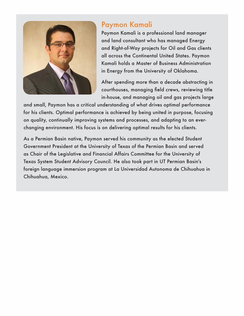
Paymon KamaliPaymon Kamali is a professional land manager and land consultant who has managed Energy and Right-of-Way projects for Oil and Gas clients all across the Continental United States. Paymon Kamali holds a Master of Business Administration in Energy from the University of Oklahoma.
After spending more than a decade abstracting in courthouses, managing field crews, reviewing title in-house, and managing oil and gas projects large
and small, Paymon has a critical understanding of what drives optimal performance for his clients. Optimal performance is achieved by being united in purpose, focusing on quality, continually improving systems and processes, and adapting to an ever-changing environment. His focus is on delivering optimal results for his clients.
As a Permian Basin native, Paymon served his community as the elected Student Government President at the University of Texas of the Permian Basin and served as Chair of the Legislative and Financial Affairs Committee for the University of Texas System Student Advisory Council. He also took part in UT Permian Basin’s foreign language immersion program at La Universidad Autonoma de Chihuahua in Chihuahua, Mexico.

Tara Kamali Tara Kamali is a professional land manager and ROW agent who has completed Energy and Right-of-Way projects for Oil and Gas clients all across the Continental United States for more than a decade.
Tara’s experience in the industry includes title research performed for Pipeline, Electric Line, Cell Tower, Wind Energy, Mineral, Leasehold, and Due Diligence Projects. She also has experience buying leases and lands for Energy and Right of Way projects. She is
dedicated to the clients she serves and continues to find ways to add value to her projects.
Tara has been instrumental in bringing people together for great causes in the community. She along with her peers, and the local food bank have been providing food to underprivileged children through the “back pack program.” This program allows children to have nutritional meals after school without the stigma of being singled out for receiving aid. She continues to find ways to give back to the communities that she is fortunate enough to be a part of.
Jacob FerrisJacob Ferris specializes in Abstract, Title, and Right of Way projects within the Oil, Gas, Coal and Wind industries. He understands the importance of meeting each client’s individual needs and requirements to achieve a successful product.
For over eight years, Jacob has worked throughout the United States on all phases of title from takeoff to final curative actions. He also has experience managing projects, performing in-house reviews, and researching heirship and HBP related issues.
Jacob holds a Juris Doctor degree from Ava Marie School of Law and a Bachelor’s of Science in Business and Marketing from Ferris State University.

SERVICES WE OFFER
Boundary SurveyingBoundary surveys are used to determine property lines and define true property corners of a parcel of land described in a deed. Crowley Surveying provides professional surveys that indicate the extent of any easements or encroachments and may show the limitations imposed on the property by state or local regulations.
SERVICES INCLUDE:PlattingAlta/ACSM surveysProperty/Subdivision layoutsBoundary DisputesLegal Descriptions
Construction Layout Construction staking is prepared for the layout and control of new improvements based on plans prepared by design professionals. We use construction staking to establish horizontal and vertical definition of buildings, roads, storm and water lines, wastewater lines, site grading, walls, parking areas, etc.
SERVICES INCLUDE:As-Built SurveysPermit DrawingsPlan Profile AlignmentIsometric Valve-Setting
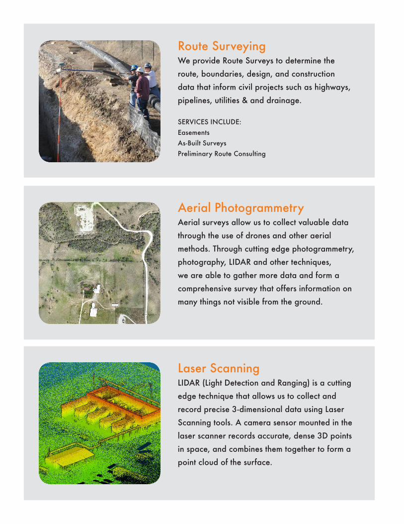
Route SurveyingWe provide Route Surveys to determine the route, boundaries, design, and construction data that inform civil projects such as highways, pipelines, utilities & and drainage.
SERVICES INCLUDE:EasementsAs-Built SurveysPreliminary Route Consulting
Aerial PhotogrammetryAerial surveys allow us to collect valuable data through the use of drones and other aerial methods. Through cutting edge photogrammetry, photography, LIDAR and other techniques, we are able to gather more data and form a comprehensive survey that offers information on many things not visible from the ground.
Laser ScanningLIDAR (Light Detection and Ranging) is a cutting edge technique that allows us to collect and record precise 3-dimensional data using Laser Scanning tools. A camera sensor mounted in the laser scanner records accurate, dense 3D points in space, and combines them together to form a point cloud of the surface.
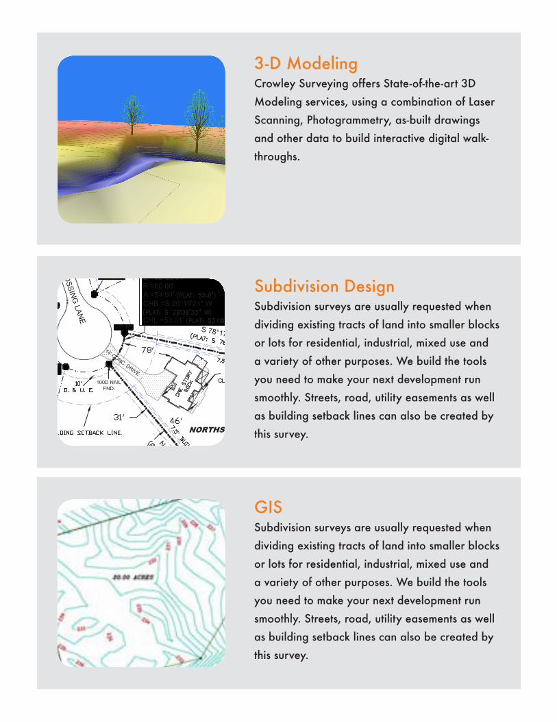
3-D ModelingCrowley Surveying offers State-of-the-art 3D Modeling services, using a combination of Laser Scanning, Photogrammetry, as-built drawings and other data to build interactive digital walk-throughs.
Subdivision DesignSubdivision surveys are usually requested when dividing existing tracts of land into smaller blocks or lots for residential, industrial, mixed use and a variety of other purposes. We build the tools you need to make your next development run smoothly. Streets, road, utility easements as well as building setback lines can also be created by this survey.
GISSubdivision surveys are usually requested when dividing existing tracts of land into smaller blocks or lots for residential, industrial, mixed use and a variety of other purposes. We build the tools you need to make your next development run smoothly. Streets, road, utility easements as well as building setback lines can also be created by this survey.

JACKSBORO, TX FRN: 100465-00 | DENTON, TX FRN: 10194203