Embed Size (px)
Citation preview

1
Name: ____________________________ Period: ______
SOUTH ASIA MAP PROJECT
South Asia Physical Map (Part I):
Directions: Use an atlas to locate and label all of the following physical features on your South Asia Physical Map. Be careful to do a good job because you will be quizzed on this material.
Mountains/Highlands: Locate and label all of the following mountains/highlands. 1. Himalaya Mts. 3. Mt. Everest 5. Western Ghats
2. Hindu Kush 4. Vindhya Mts. 6. Eastern Ghats
Other Physical Features: Locate and label all of the following geographic features. 1. Great Northern Plain 4. Plateau of Tibet 6. Kashmir
2. Deccan Plateau 5. Punjab 7. Khyber Pass
3. Great Indian Desert
Major Rivers: Locate, label, and then trace over in blue each of the following rivers. 1. Indus River 2. Ganges River 3. Brahmaputra River Major Bodies of Water: Locate and label all of the following bodies of water. 1. Indian Ocean 3. Bay of Bengal
2. Arabian Sea 4. Mouths of the Ganges

2
South Asia: Physical
3
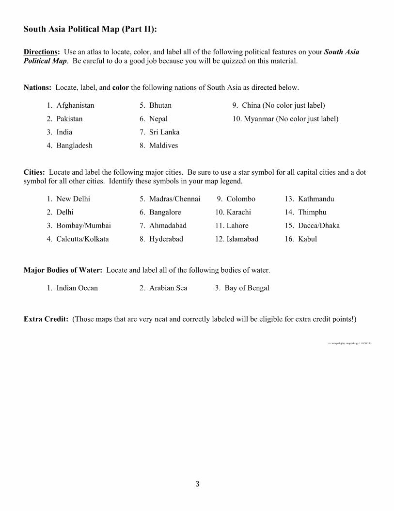
South Asia Political Map (Part II):
Directions: Use an atlas to locate, color, and label all of the following political features on your South Asia Political Map. Be careful to do a good job because you will be quizzed on this material. Nations: Locate, label, and color the following nations of South Asia as directed below. 1. Afghanistan 5. Bhutan 9. China (No color just label)
2. Pakistan 6. Nepal 10. Myanmar (No color just label)
3. India 7. Sri Lanka
4. Bangladesh 8. Maldives
Cities: Locate and label the following major cities. Be sure to use a star symbol for all capital cities and a dot symbol for all other cities. Identify these symbols in your map legend. 1. New Delhi 5. Madras/Chennai 9. Colombo 13. Kathmandu
2. Delhi 6. Bangalore 10. Karachi 14. Thimphu
3. Bombay/Mumbai 7. Ahmadabad 11. Lahore 15. Dacca/Dhaka
4. Calcutta/Kolkata 8. Hyderabad 12. Islamabad 16. Kabul
Major Bodies of Water: Locate and label all of the following bodies of water. 1. Indian Ocean 2. Arabian Sea 3. Bay of Bengal
Extra Credit: (Those maps that are very neat and correctly labeled will be eligible for extra credit points!)
<s. asia pol./phy. map wks gs 1 10/30/11>

4
4