Embed Size (px)
Citation preview
SOUTH AFRICAN SPATIAL DATA INFRASTRUCTURE
ADMINISTERED
BY THE
DIRECTORATE : NATIONAL SPATIAL INFORMATION
FRAMEWORK
DEPARTMENT OF RURAL DEVELOPMENT AND LAND
REFORM

• Committee for Spatial Information(CSI)
• Implementation of South African Spatial Data Infrastructure (SASDI)
• South African Geo-spatial Information Management Strategy (SAGIMS)
TABLE OF CONTENT

First term: 2010-2013
Extended period: Oct 2013- June 2014
Subcommittees:
– Policy and Legislation subcommittee
– Data subcommittee
– Systems subcommittee
– Education and Training subcommittee
– Standards subcommittee
– Communications and Marketing subcommittee
Committee for Spatial Information
Some of the achievements of the CSI:
• Study by the Data subcommittee- identify base datasets and base data custodians
• Finalised the two policies – Base Datasets Custodianship policy and the Policy on the pricing of spatial information products and services
• Drafted the SASDI Compliance guidelines – outlines the responsibilities of organs of state in adhering to the SDI Act, policies and other relevant legislation.
• Launched the SASDI website - www.sasdi.gov.za
• Data Collection Project Register - http://www.sasdi.gov.za/DCPRHome.asp
• Implemented the Electronic Metadata Catalogue
Implementing SASDI

• New CSI to be inaugurated by September 2014
• New work programme to be developed
• New subcommittees to be established
• Participation at subcommittee level is important for implementation CSI resolutions /SASDI.
• Look out for nomination forms to be circulated toward end of 2014.
CSI – The way ahead

SOUTH AFRICAN GEOSPATIAL INFORMATION MANAGEMENT
STRATEGY (SAGIMS)

• Based on the SDI Act (Act 54 of 2003)
• Project initiated by the CSI
• Project managed by the Policy subcom of the
CSI
• SASDI objectives - the promotion of effective
management and maintenance of spatial
information section 3 (2)(c).
• A need for a coherent and systematic approach
in the management of geo-spatial information
through an envisaged strategy
Background to the Strategy

• The SDI Act did not follow the usual predefined policy and law formulation process
• A green paper is drawn up by the Ministry involved with the help of advisors
• The Green paper will be presented before the Portfolio Committee and if agreed/ approved then move to the White paper
• Public consultation will be held and Cabinet will approve the final policy document.
• From a policy document a Bill is drafted which later becomes an Act of Parliament.
• Currently, there is no policy document on the management of spatial information in the country.
Why the Strategy?

• Align to the long-term developmental agenda
• National Development Plan (NDP)
– Poverty and inequality
– Prosperity and equity
• The strategic role of geo-spatial information:
– Proper planning and informed decision making
Why the Strategy?

For the country Geo-spatial information as a strategic
resource in SA’s long term development goals
RE -- NDP
NOT for government
Who is the strategy for?
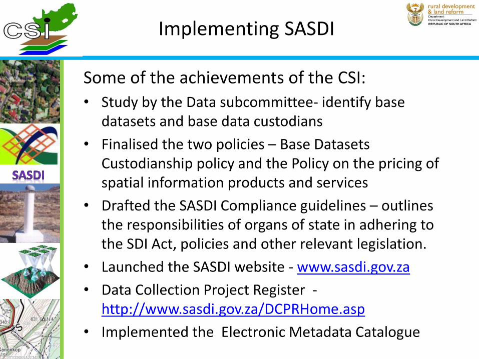
Key role players

• To outline a long-term coordinated and integrated approach to the management of geo-spatial information to enable South Africa to realize its development objectives.
• To provide the overall context and guidance for future direction and development of the geo-spatial information landscape in SA.
• To ensure open robust and effective usage of geo spatial Information
Purpose of the strategy

“Geo-spatial information management in support of South Africa’s developmental agenda
(needs)”
Vision

Four commissions established focusing on the following areas:
• Data
• Capacity and Capability
• Geo-Information Communication and Technology
• Policy and Legislation
Focus Areas

Sub- vision:
“Available, Accessible, Relevant and Usable geo-spatial datasets for South Africa’s developmental agenda”
Data Commission

Objective 1:Availability and accessibility
How can data become more available and accessible?
Review of local and international literature studies
Data inventory/metadata systems
Data repository
Data infrastructure
Objective 2: Reliable
What mechanisms are needed to ensure quality of data?
Investigate data quality policy and legislative framework (local and international)
Objective 3: Relevant
What data is needed and for what?
Link with developmental goals
Objective 4: Usable
How can we embed use to achieve developmental goals?
Research on local and international practice
Data Commission

Sub- vision:
“A general understanding of the value of geo-spatial information by all South Africans and a workforce with appropriate skills –so that NDP objectives are
realized”
Capacity and Capability Commission
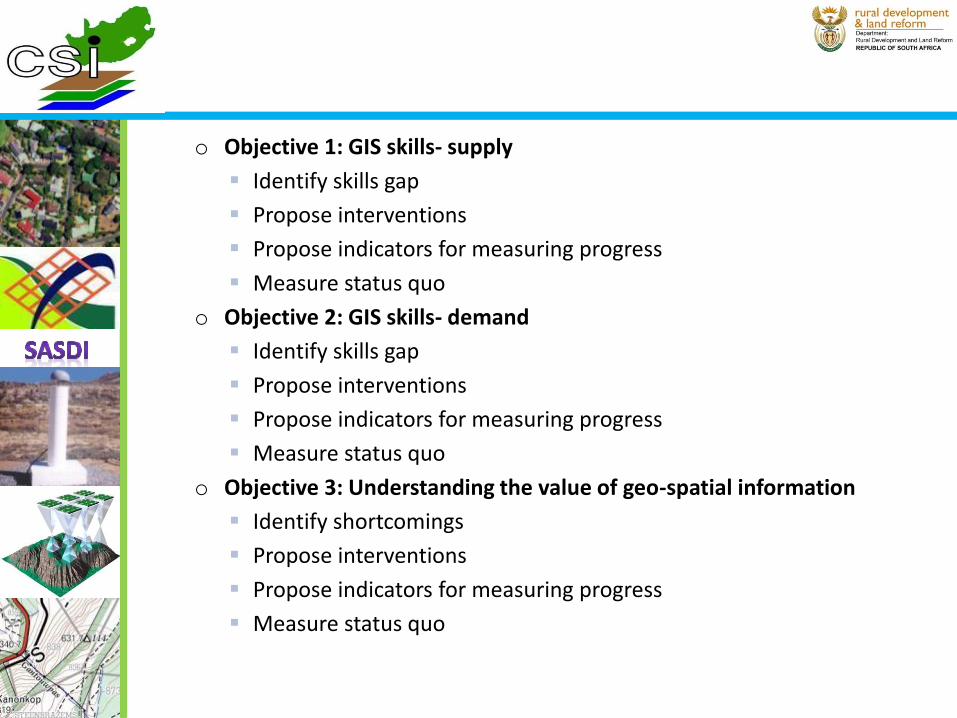
o Objective 1: GIS skills- supply
Identify skills gap
Propose interventions
Propose indicators for measuring progress
Measure status quo
o Objective 2: GIS skills- demand
Identify skills gap
Propose interventions
Propose indicators for measuring progress
Measure status quo
o Objective 3: Understanding the value of geo-spatial information
Identify shortcomings
Propose interventions
Propose indicators for measuring progress
Measure status quo

Sub- vision:
“Information Communication Technology platforms to enable and sustain the management of South African Geo-spatial Information towards a better life for all.”
G-ICT Commission

o Objective 1: High capacity network infrastructure
Current situation/gap analysis
Conceptual Framework: alignment of the ICT infrastructure with the NDP.
Link with current initiatives (e.g. ICT green paper)
Objective 2: High Capacity computer storage
Current situation/gap analysis
Conceptual Framework: alignment of the ICT infrastructure and the NDP.
Link with current initiatives (e.g. ICT green paper)
Objective 3: Secure ICT environment
Current situation/gap analysis
Conceptual Framework: alignment of the ICT infrastructure and the NDP.
Link with current initiatives (e.g. ICT green paper)

• Research work by commissions to be finalized- by end of July 2014
• Research work write up by commissions in place –by end of September 2014
• Consolidation of research work write up and consultative workshops- by end of December 2014
• Consolidation of inputs and draft strategy write up- by end of February 2015
• Submission of draft strategy to CSI for consideration- by March 2015
Timelines

You are invited to join the Geo-information community in charting a new course for South
Africa’s development:
Owen Maswanganye : 012 312 9281
0731780429
Mimi Chauke : 012 312 9643
0726473935
Conclusion