Embed Size (px)
Citation preview

SANTA SUSANA MOUNTAINS TRAILS MASTER PLAN PROJECT | NEWSLETTER ISSUE NO. 1 | JULY 2013
NEWSLETTER 1TRAILS MASTER PLAN PROJECTSANTA SUSANA MOUNTAINS
In This Issue
A Brief HistoryThe County of Los Angeles Department of Parks and Recreation, with the Fifth Supervisorial District, kicked off the Northwest San Fernando Valley Trails Master Plan project in 2012. At that time, the Study Area was limited to the unincorporated territory of the County of Los Angeles north of State Route 118 and southwest of Interstate 5 (I-5). Last year, three meetings were held to introduce the project to the public and get feedback from trail enthusiasts. The first meeting was held with the City of Los Angeles Department of Recreation and Parks; the second meeting was held with local, state, and federal government agencies responsible for trails; and the third meeting was a public forum.
As a result of input received from these meetings, the Northwest San Fernando Valley Trails Master Plan Study Area was expanded to the north to include a connection to the Southwest Santa Clarita Valley area and extended westward to the boundary of Los Angeles and Ventura Counties, thus maximizing opportunities for regional trail connectivity. The Northwest San Fernando Valley Trails Master Plan project was renamed to Santa Susana Mountains Trails Master Plan (SSMTMP), and the expanded study area has been renamed the Santa Susana Mountains Trails Master Plan Study Area (Figure 1, Santa Susana Mountains Study Area). The Northwest San Fernando Valley Study Area became Phase I and the Southwest Santa Clarita Valley Area became Phase II of the Santa Susana Mountains Trails Master Plan (Figure 2, Santa Susana Mountains Phases).
The County has received great input from many trail users. Based on the feedback received, County Parks and Recreation pushed the planning boundaries to maximize regional connectivity throughout the Northwest San Fernando Valley and the Southwest Santa Clarita Valley with the larger Santa Susana Mountains Area.
• A Brief History of the Planning Effort• Santa Susana Mountains Trails Master Plan• Goals and Objectives of the Plan• Trails Inventory• Answers to Frequently Asked Questions
• Just the Facts• Next Steps• Contact Information• Credits

SANTA SUSANA MOUNTAINS TRAILS MASTER PLAN PROJECT | NEWSLETTER ISSUE NO. 1 | JULY 2013
Santa Susana Mountains TrailsMaster PlanThe Santa Susana Mountains Trails Master Plan will promote and encourage safe and enjoyable recreational trails opportunities for pedestrians, bicyclists, and equestrians. The plan will identify connections to existing local, state, regional, and national trail systems, as well as existing trails, future trails, trailheads, and points of interest. The plan will focus on multi-use (hiking, mountain biking, and equestrian) trails as defined by the County of Los Angeles Department of Parks and Recreation policy. The Santa Susana Mountains Trails Master Plan will be completed in 2013.
Goals and Objectives of the Plan1. Provide a recreational trails system2. Include other trails plans for the area3. Include input from interested parties4. Follow the County of Los Angeles Trails Manual5. Accommodate future demand for recreational trails6. Connect project trails to local, state, and federal trail systems7. Identify connections to and from limited-use and multi-use trails8. Promote the construction of new trails in 2014
Figure 1 - Santa Susana Mountains Study Area
Figure 2 - Santa Susana Mountains Phases

SANTA SUSANA MOUNTAINS TRAILS MASTER PLAN PROJECT | NEWSLETTER ISSUE NO. 1 | JULY 2013
Trails Inventory
Frequently Asked Questions
The Santa Susana Mountains Trails Master Plan Study Area contains over 50 miles of trails. The Santa Susana Pass trail is the only County-approved and existing trail. Other trails are County adopted and proposed, National Park Service trails, regional trails, or trails proposed by users at the public meeting. Finally, historically used trails were digitized from aerial photography (Figure 3, Santa Susana Mountains Trails Inventory).
What is a Trails Plan?
A trails plan is a blueprint for the construction of trails in a specific area. A trails plan identifies trail users, points of interest, and existing trails, and proposes new trails and how to connect new trails to existing trails. A trails plan also identifies the ownership of and responsibility for maintenance of trails and the types of trails allowed.
Why is a Trails Plan important?
No wish, idea, thought, or desire becomes a reality without planning. A trails plan is important because it defines the objectives, resources, and time required to make a wish, idea, thought, or Figure 3 - Santa Susana Mountains Trails Inventorydesire become a reality.
What is involved in developing a Trails Plan?
First, the idea, thought, or desire has to be written down. Second, the plan has to be shared with other people. Third, comments received from other people need to be evaluated. Fourth, the plan might need to be adjusted to incorporate the comments. Then the process is repeated until the plan is acceptable to the majority of people who are intended to be served by the Plan.
Who is involved, who should be involved, and why should you be involved?
Who is involved in developing a trails plan? Typically the people involved are government planners and people who are responsible for trails. Who should be involved in developing a trails plan? Everyone who is interested in the trails plan should be involved. People who are responsible for trails, people who want trails, people who don’t want trails, people who use trails, and people who don’t use trails. Why should you be involved in developing a trails plan? Your input is valuable. Your input is helpful. Your input will help define the plan that is best and vital to meeting the needs of County residents and visitors.
SANTA SUSANA MOUNTAINS TRAILS MASTER PLAN PROJECT | NEWSLETTER ISSUE NO. 1 | JULY 2013
Contact InformationFor additional information please contact:
Ms. Lorrie BradleyPark PlannerCounty of Los AngelesDepartment of Parks and Recreation 510 South Vermont Avenue Los Angeles, California 90020(213) [email protected]
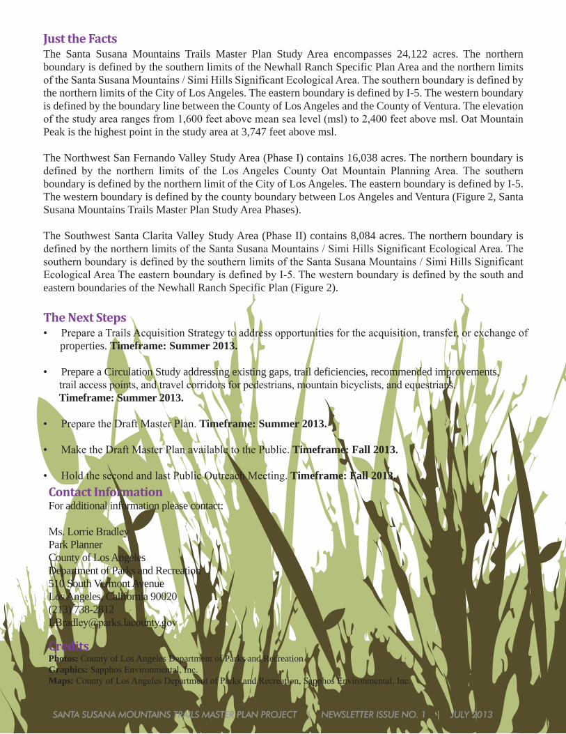
Just the FactsThe Santa Susana Mountains Trails Master Plan Study Area encompasses 24,122 acres. The northern boundary is defined by the southern limits of the Newhall Ranch Specific Plan Area and the northern limits of the Santa Susana Mountains / Simi Hills Significant Ecological Area. The southern boundary is defined by the northern limits of the City of Los Angeles. The eastern boundary is defined by I-5. The western boundary is defined by the boundary line between the County of Los Angeles and the County of Ventura. The elevation of the study area ranges from 1,600 feet above mean sea level (msl) to 2,400 feet above msl. Oat Mountain Peak is the highest point in the study area at 3,747 feet above msl.
The Northwest San Fernando Valley Study Area (Phase I) contains 16,038 acres. The northern boundary is defined by the northern limits of the Los Angeles County Oat Mountain Planning Area. The southern boundary is defined by the northern limit of the City of Los Angeles. The eastern boundary is defined by I-5. The western boundary is defined by the county boundary between Los Angeles and Ventura (Figure 2, Santa Susana Mountains Trails Master Plan Study Area Phases).
The Southwest Santa Clarita Valley Study Area (Phase II) contains 8,084 acres. The northern boundary is defined by the northern limits of the Santa Susana Mountains / Simi Hills Significant Ecological Area. The southern boundary is defined by the southern limits of the Santa Susana Mountains / Simi Hills Significant Ecological Area The eastern boundary is defined by I-5. The western boundary is defined by the south and eastern boundaries of the Newhall Ranch Specific Plan (Figure 2).
The Next Steps• Prepare a Trails Acquisition Strategy to address opportunities for the acquisition, transfer, or exchange of properties. Timeframe: Summer 2013.
• Prepare a Circulation Study addressing existing gaps, trail deficiencies, recommended improvements, trail access points, and travel corridors for pedestrians, mountain bicyclists, and equestrians. Timeframe: Summer 2013.
• Prepare the Draft Master Plan. Timeframe: Summer 2013.
• Make the Draft Master Plan available to the Public. Timeframe: Fall 2013.
• Hold the second and last Public Outreach Meeting. Timeframe: Fall 2013.
CreditsPhotos: County of Los Angeles Department of Parks and RecreationGraphics: Sapphos Environmental, Inc.Maps: County of Los Angeles Department of Parks and Recreation, Sapphos Environmental, Inc.