Embed Size (px)
Citation preview

Put Your Data on the Map
Data Driven 2012Columbus Convention Center
September 28, 2012

Rick Stein – Principal & OwnerUrban Decision Group (UDG) [email protected]@UrbanD1

Today’s AgendaData meets Geo-dataMapping VisualizationsWeb Mapping Tools DemoGoogle Fusion TablesESRI’s ArcGis OnlineOpen Street Map (open source)
Tutorials
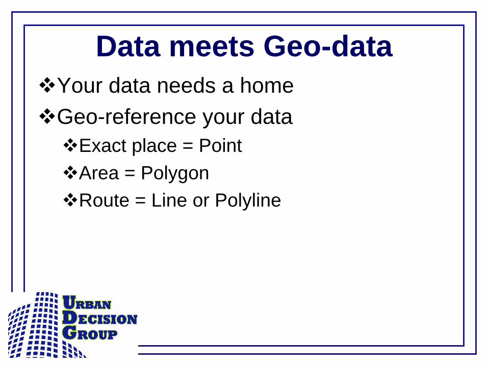
Data meets Geo-dataYour data needs a homeGeo-reference your dataExact place = PointArea = PolygonRoute = Line or Polyline
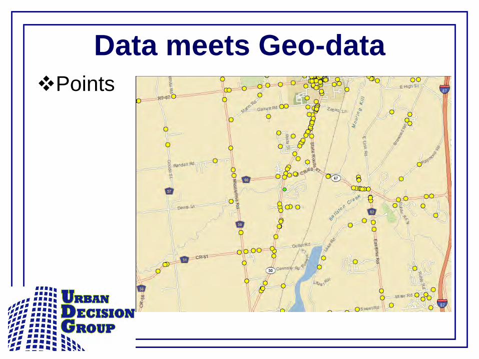
Data meets Geo-dataPoints
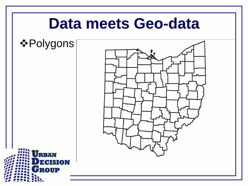
Data meets Geo-dataPolygons
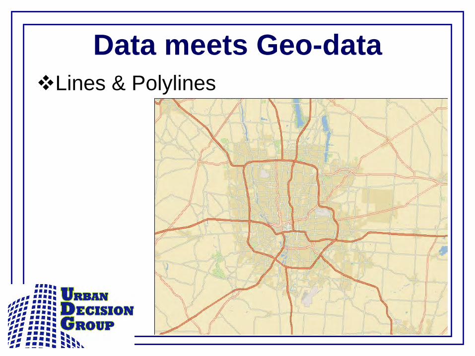
Data meets Geo-dataLines & Polylines
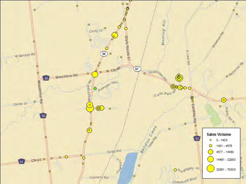
VisualizationsPointsSingle symbolGraduated symbolsProportional symbolsDifferent colors and\or shapesSingle or multiple attributes
VisualizationsPolygonsSingle symbolThematic gradientDifferent ColorsCan also substitute points for polygonsGraduated symbolsProportional symbolsDot density


VisualizationsLinesSingle symbolDifferent symbolsDifferent colorsDifferent widths (thickness)
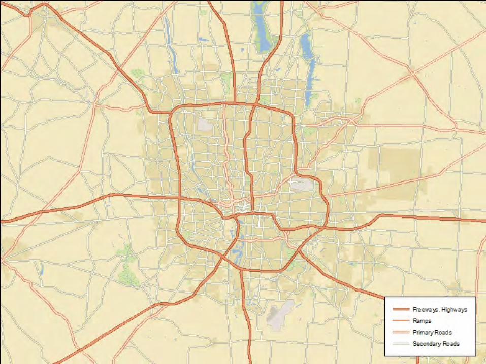
Good MapsAre not clutteredEasily interpretedUse appropriate colors & symbols
Bad Maps


Data OrganizationComplete addresses & missing dataScale dictates symbologyFormatSpreadsheetText fileDatabase tableNO PDF’s!!!!
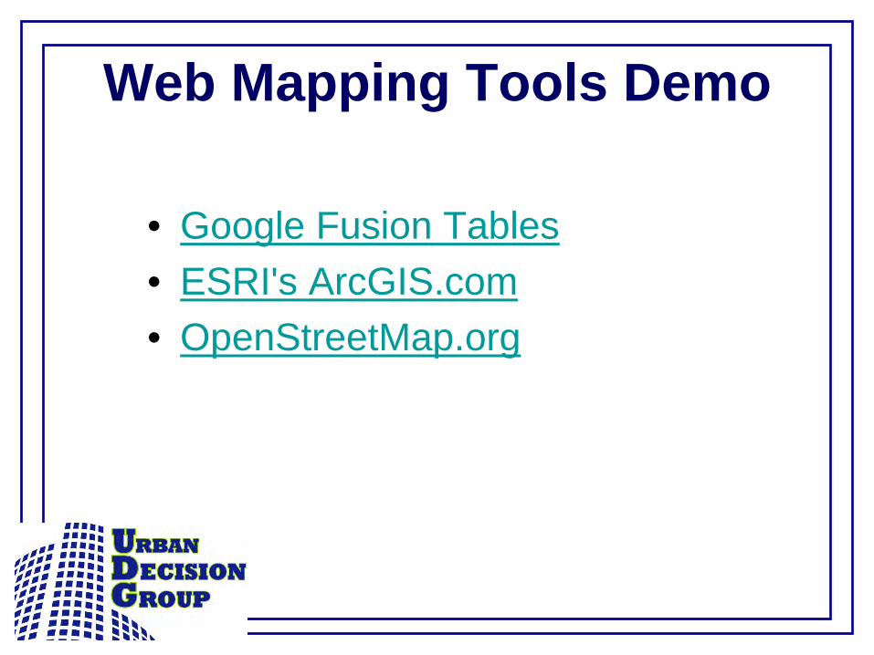
Web Mapping Tools Demo
• Google Fusion Tables• ESRI's ArcGIS.com• OpenStreetMap.org

Google Fusion Tables
• www.google.com/fusiontables• Need a Google account (free!)• Upload your data• Merge data with geo-data• Access to public data

ArcGIS Online
• www.arcgis.com• Need an account (free!)• Paid version offers more features• Upload your data• Access to public spatial data
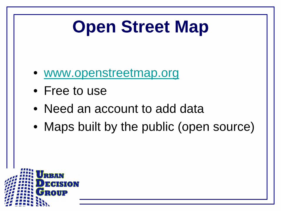
Open Street Map
• www.openstreetmap.org• Free to use• Need an account to add data• Maps built by the public (open source)
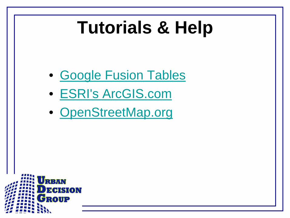
Tutorials & Help
• Google Fusion Tables• ESRI's ArcGIS.com• OpenStreetMap.org
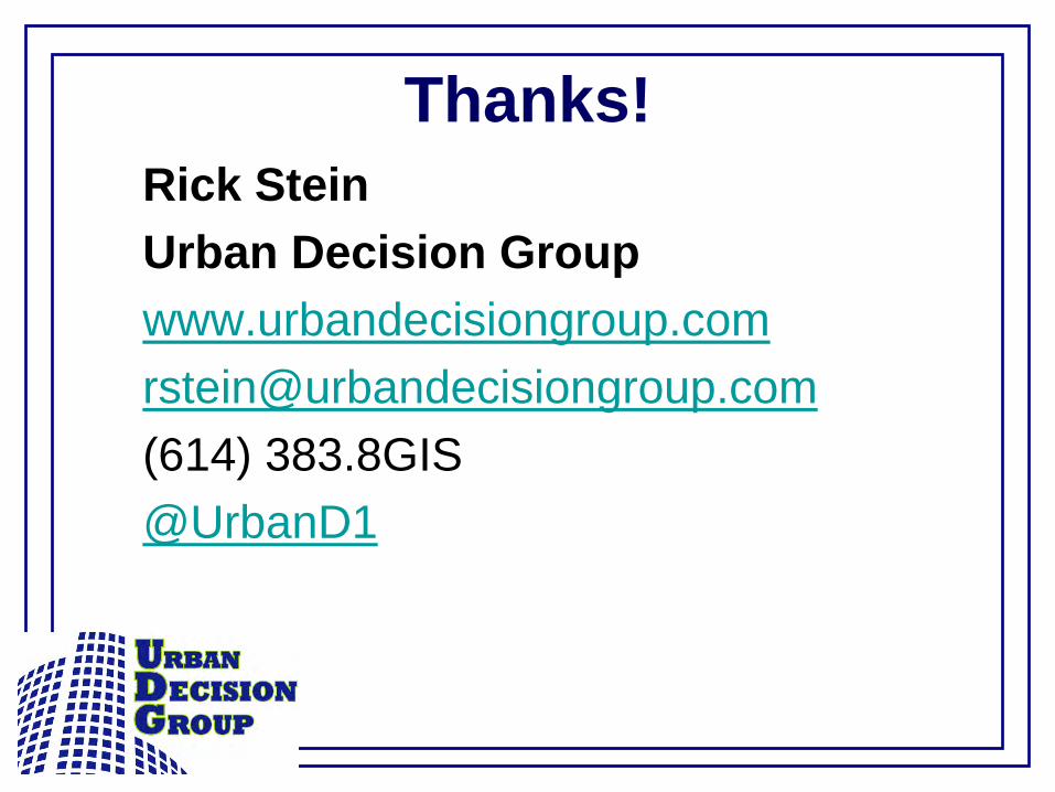
Thanks!Rick SteinUrban Decision [email protected](614) 383.8GIS@UrbanD1