Embed Size (px)
Citation preview

NORTH CAROLINA LANDSLIDE MAPPING – PUBLIC AND PRIVATE PROGRAMS
Jennifer Bauer, L.G. – Principal Geologist Stephen Fuemmeler, L.G. – Principal Geologist

NORTH CAROLINA LANDSLIDE HAZARD MAPPING
Maps by ALC and NCGS
Macon
Buncombe
Henderson
Watauga
Haywood
Jackson
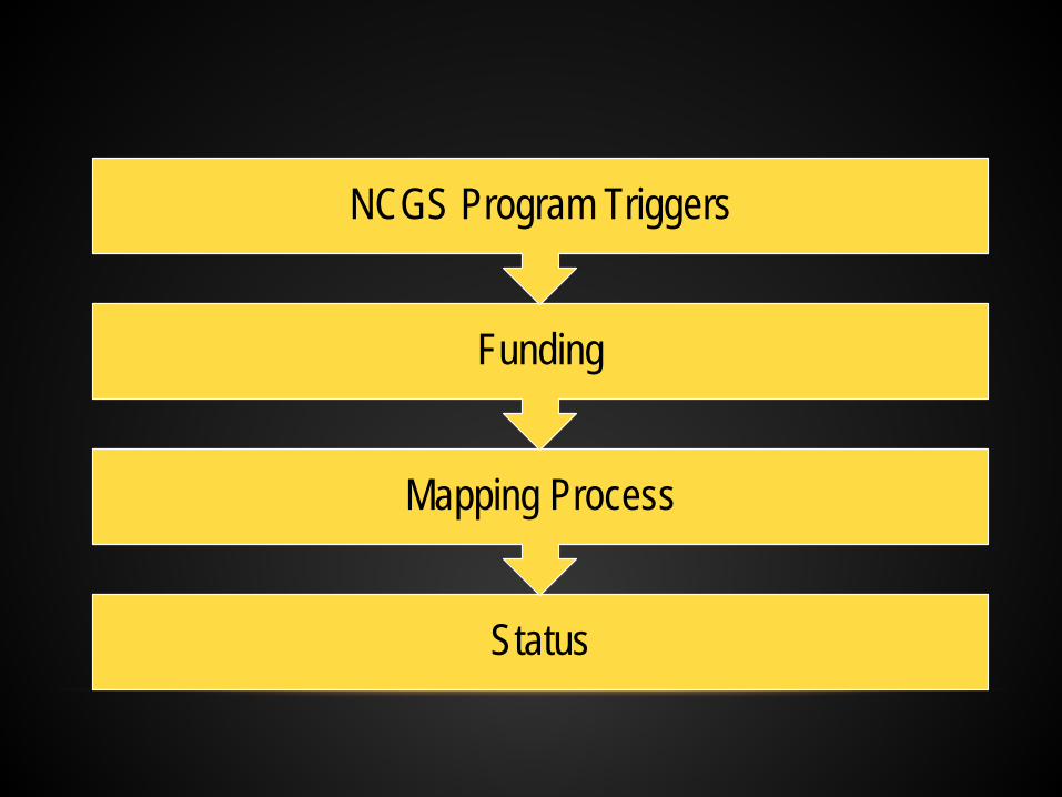
Status
Mapping Process
Funding
NCGS Program Triggers
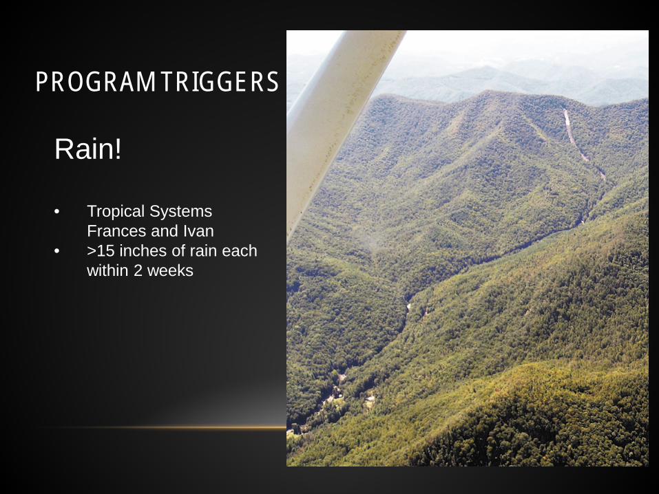
PROGRAM TRIGGERS
Rain! • Tropical Systems
Frances and Ivan • >15 inches of rain each
within 2 weeks

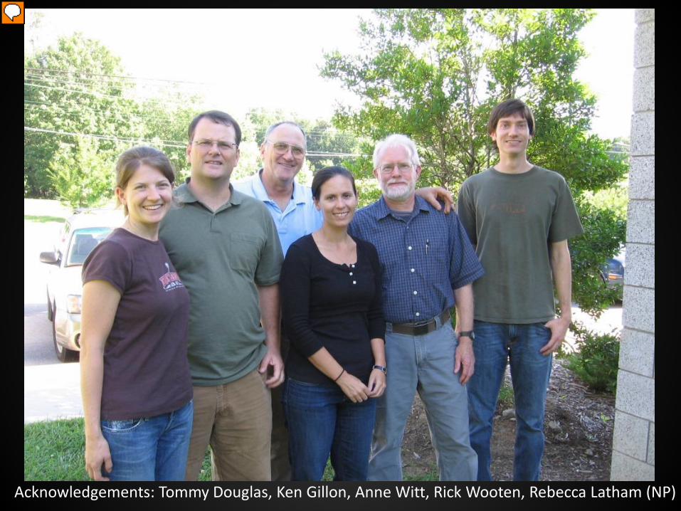
Acknowledgements: Tommy Douglas, Ken Gillon, Anne Witt, Rick Wooten, Rebecca Latham (NP)

FUNDING – BEGINNING OF THE END
• 2007 Safe Artificial Slope Construction Act introduced in the State General Assembly • Linked maps to regulations • Questions about disclosure in Real Estate
transactions • Never approved, but changed perception

FUNDING – MIDDLE OF THE END
• 2010 Elections • Change in majority ideologies in the General
Assembly toward less government involvement

FUNDING – THE END
• 2011 Budget Shortfalls • Recession impacted NC budget – must be
balanced • Growing opposition to the maps due to
misunderstandings • Perhaps politics
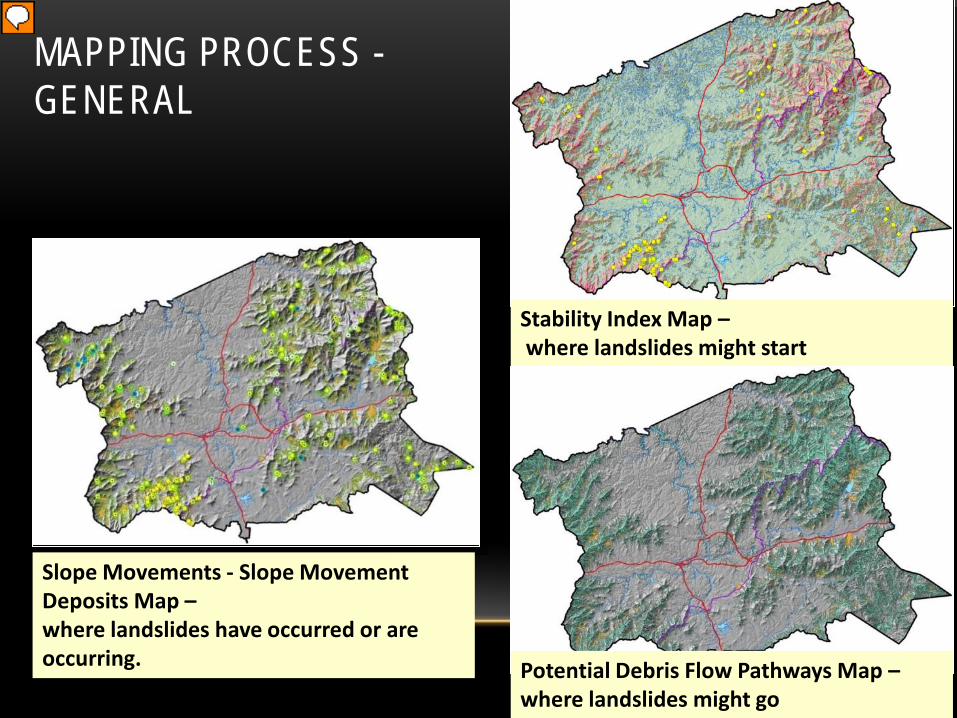
Stability Index Map – where landslides might start
Potential Debris Flow Pathways Map – where landslides might go
Slope Movements - Slope Movement Deposits Map – where landslides have occurred or are occurring.
MAPPING PROCESS - GENERAL
MAPPING PROCESS – COMMUNICATION
• Kick-off meetings with county planning board, Emergency Managers, Soil and Erosion Control staff, and others
• Talk to landowners during field mapping • External map and field review by members of the landslide
research community or county personnel • Presentation of final maps to county, their guests, and
Emergency Management • Training workshop for county GIS staff

STATUS - BUNCOMBE COUNTY

STATUS - MACON COUNTY
“an arbitrary and fruitless endeavor that will do little to actually predict where a slide might hit in the future” – Planning Board member
Material fact?

Map from NCGS
STATUS - WATAUGA COUNTY
Map from NCGS
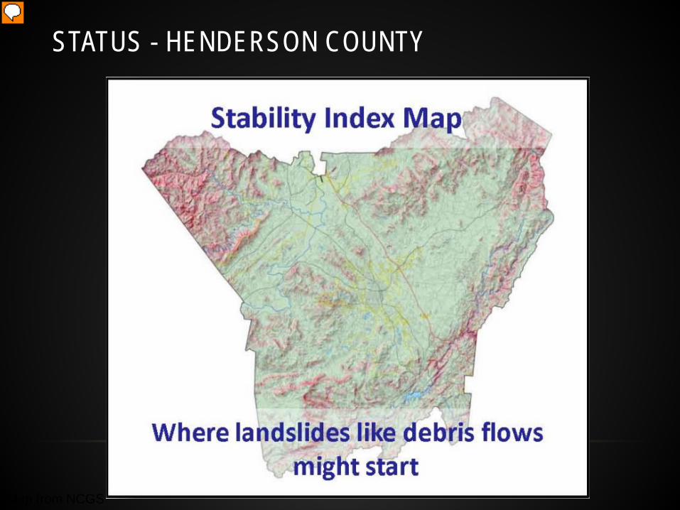
STATUS - HENDERSON COUNTY
Status
Mapping Process
Funding
Private-Non-profit Program Triggers
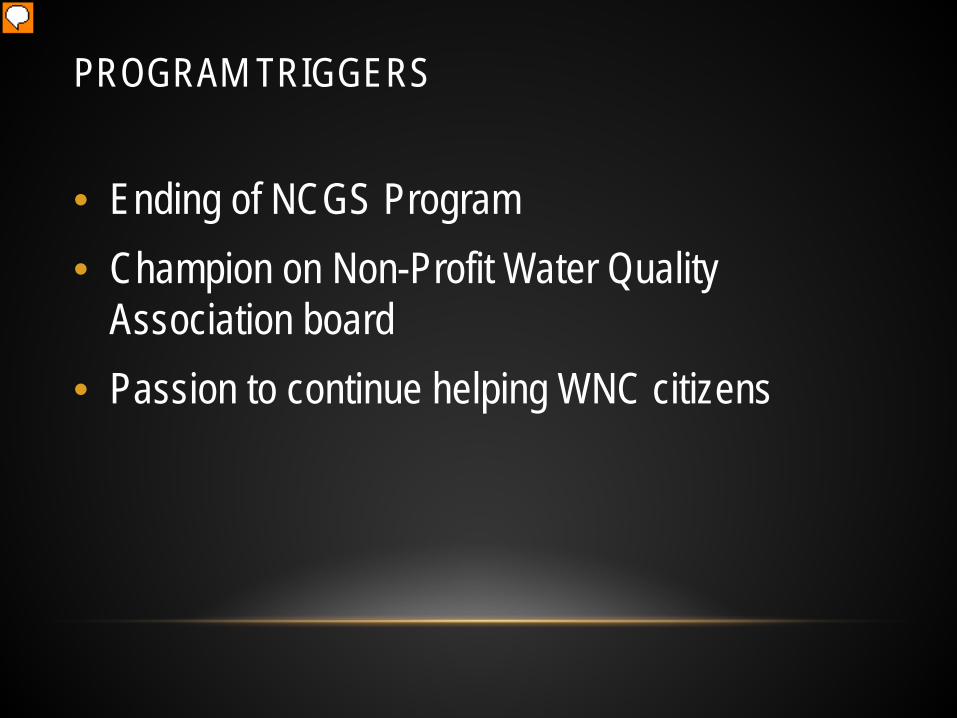
PROGRAM TRIGGERS
• Ending of NCGS Program • Champion on Non-Profit Water Quality
Association board • Passion to continue helping WNC citizens

FUNDING – WATER QUALITY

FUNDING – WATER QUALITY

FUNDING • Economical
• Average cost of home in 2012 in WNC ~ $285,000
• Saving one home would pay mapping an entire county
• Mapping included subsidence points
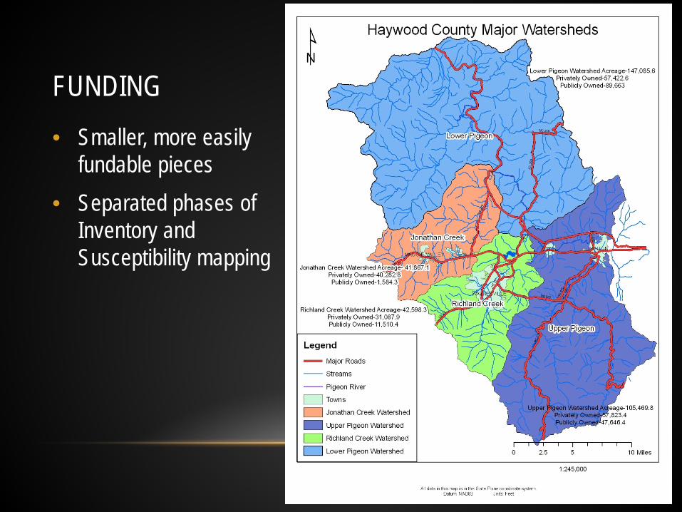
FUNDING • Smaller, more easily
fundable pieces • Separated phases of
Inventory and Susceptibility mapping

MAPPING PROCESS - GENERAL Geologic Stability Mapping Project
• Stakeholder meetings
• Grant applications
• Outreach
• Rain!
• Landslide Inventory
• Stakeholder meeting
• Grant applications
• Susceptibility mapping
• Outreach

MAPPING PROCESS - COMMUNICATION
• Stakeholder meetings • County
• Commissioners
• Planning board
• Emergency Management
• Erosion Control
• Soil and Water Conservation
• Towns
• Mayor
• Managers
• Planning
• Board of Realtors
• Homebuilders Association
• Non-profits

MAPPING PROCESS - COMMUNICATION

STATUS
http://appalachianlandslide.com/landslide-hazard-maps/
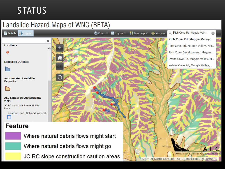
STATUS

STATUS • Continue looking for funding – currently no local or state funding
• Cycles: politically, non-profit board members, grant funding • Continued outreach efforts
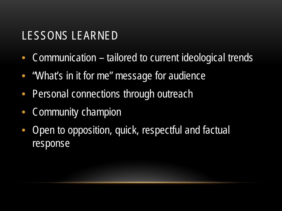
LESSONS LEARNED
• Communication – tailored to current ideological trends • “What’s in it for me” message for audience • Personal connections through outreach • Community champion • Open to opposition, quick, respectful and factual
response

End User Project Awareness
Consistent messages, various means
Memories are short