Embed Size (px)
Citation preview

Measuring Landscape Characteristics

•Features such as mountains, valleys, and stream drainage patterns have distinctive shapes by which they can be identified

Gradient and Profile•Gradient = elevation (height)/distance (length)
•Profile: shows the elevation, shape and slope of landscape features

Mountains, Plateaus and Plains
•Mountains, plateaus and plains are categories of landscapes characterized by gradient, elevation and rock structure

•Summary:a.Mountain: High elevation, steep gradient, distorted or disturbed rock layers (faulting, folding, etc)

b. Plateau: High elevation, undistorted horizontal rock structure, fairly level slope
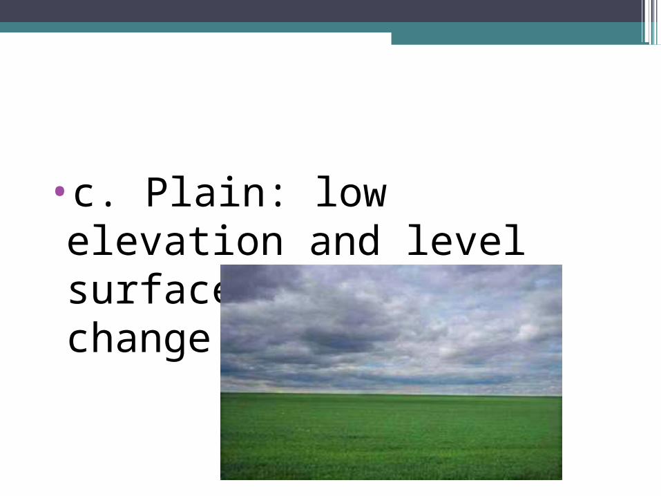
•c. Plain: low elevation and level surface with little change in slope

Time and Landscape Stages
•An area often experiences a time when the uplifting forces are dominant, followed by a long time when the leveling forces are dominant
a.Youth: Uplift dominantb.Maturity: Leveling dominant

b. Old Age” Leveling still dominant but less effective due to low elevations = less potential energyc. Dynamic equilibrium: uplift and leveling are equal forces

Effects of Climate on Landscape Development•Arid climates: little vegetation to hold sediments in place, resulting in steeper slopes and sharp, angular landscape features (physical/mechanical weathering). Common in SW US

•Humid climates: Vegetation holds sediments in place, so landscapes are smoother and more rounded (chemical weathering). Common in eastern US
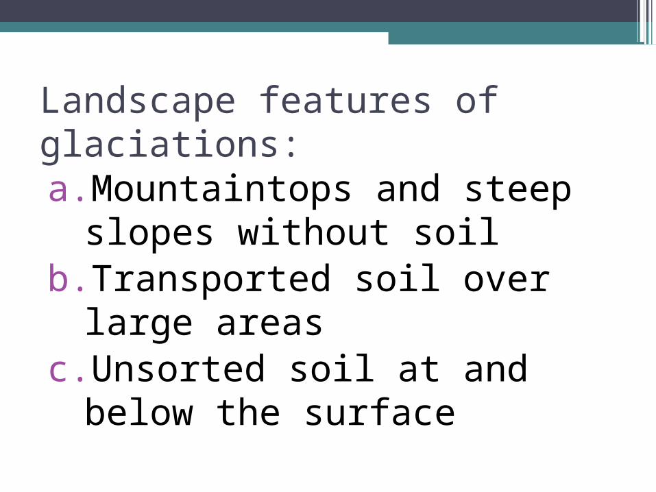
Landscape features of glaciations:a.Mountaintops and steep
slopes without soilb.Transported soil over large
areasc.Unsorted soil at and below
the surface

d. Wide U-shape valleyse. Polish, striations, drumlins, moraines, Finger lakes and kettle lakesf. Disconnected stream drainage patterns