Embed Size (px)
Citation preview

Map Skills
1. Maps are a representation of the earth or a region of the earth and are an important tool of geography.
2. There are many different types of maps but they all have common elements:
a. Compass Roseb. Symolsc. Key/Legendd. Scalee. Grid System

Compass Rose1. The compass
rose shows the four cardinal directions: north, south, east and west.
2. The directions in between are known as the intermediate directions.

Map Symbols and the Key/Legend
1. The symbols on a map are used to represent real objects located in the area shown on the map.
2. The key, or legend, explains what the symbols mean.

Scale1. The scale is used to
indicate distance on the map.
2. A certain measurement on the map will equal a certain measurement on the earth’s surface.
3. The most common type of scale is a bar scale.

Grid System
1. The grid system is a series of vertical and horizontal lines that allow a map to be broken down into smaller parts.
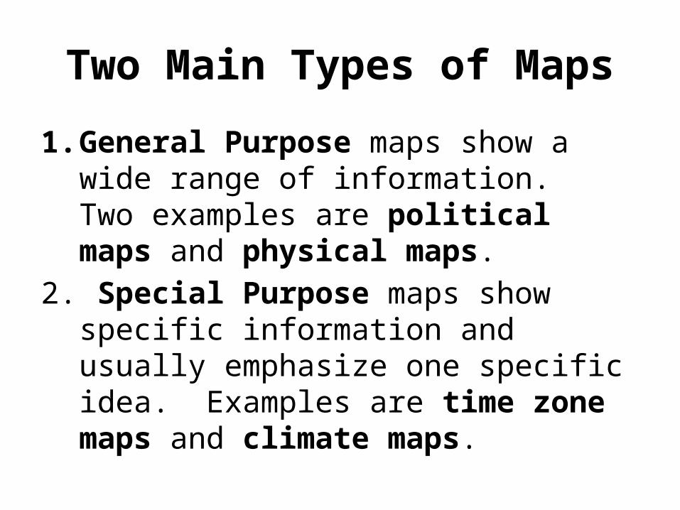
Two Main Types of Maps
1. General Purpose maps show a wide range of information. Two examples are political maps and physical maps.
2. Special Purpose maps show specific information and usually emphasize one specific idea. Examples are time zone maps and climate maps.

Cartography
1. Cartography is the practice of making maps.2. A perfect map of the world is a globe.3. The problem with taking a round object like
the earth and putting it on a flat surface is that it causes distortions.
4. A distortion is an undesired change in area, size, shape or distance
5. To solve this problem, cartographers make map projections.
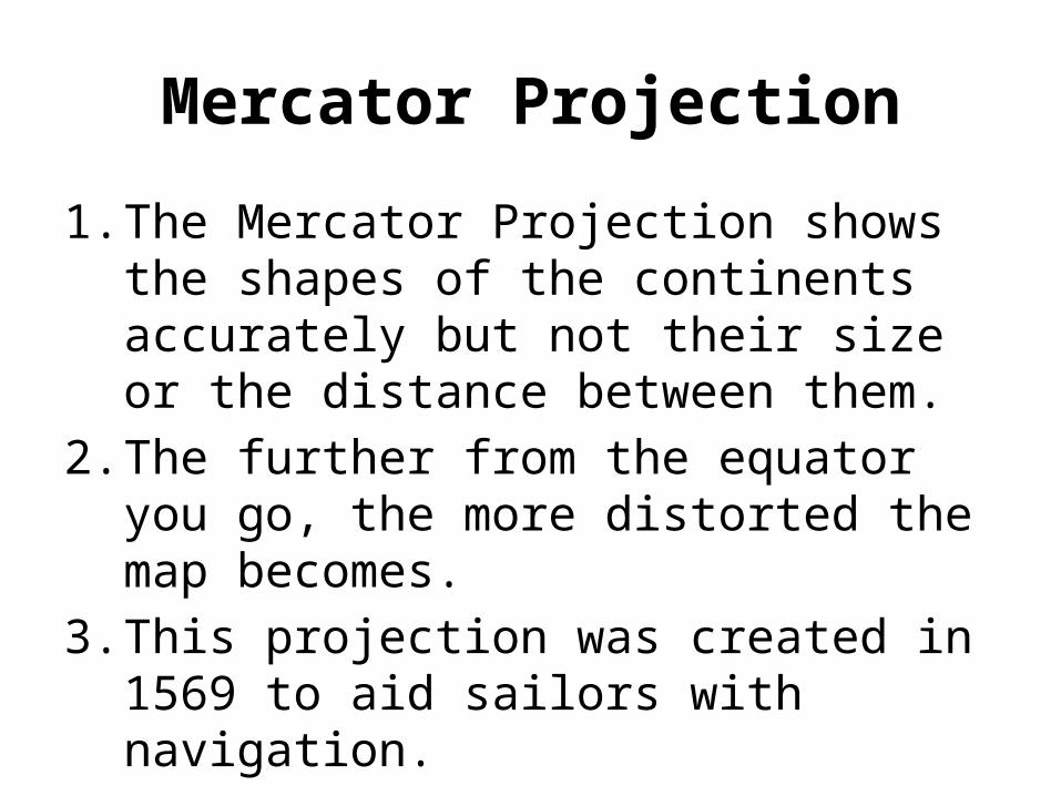
Mercator Projection
1. The Mercator Projection shows the shapes of the continents accurately but not their size or the distance between them.
2. The further from the equator you go, the more distorted the map becomes.
3. This projection was created in 1569 to aid sailors with navigation.

Mercator Projection
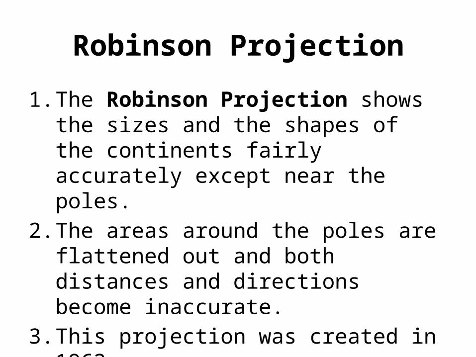
Robinson Projection
1. The Robinson Projection shows the sizes and the shapes of the continents fairly accurately except near the poles.
2. The areas around the poles are flattened out and both distances and directions become inaccurate.
3. This projection was created in 1963.

Robinson Projection

Goode’s Projection
1. The Goode’s Projection shows the sizes and shapes of the continents accurately but distances and direction are not accurate.
2. This projection was created in 1923.

Goode’s Projection

Winkel Tripel Projection
1. In the Winkel Tripel projection, the lines of latitude and longitude are curved.
2. The curved lines don’t prevent distortion in area, direction or distance, but it does minimize the sum of all three.
3. This projection was created in 1921.

Winkel Tripel Projection

Polar Projection
1. Polar projections put the north or south pole in the center of the map.
2. Polar projections only show the north our south hemisphere.

Polar Projections