Embed Size (px)
Citation preview
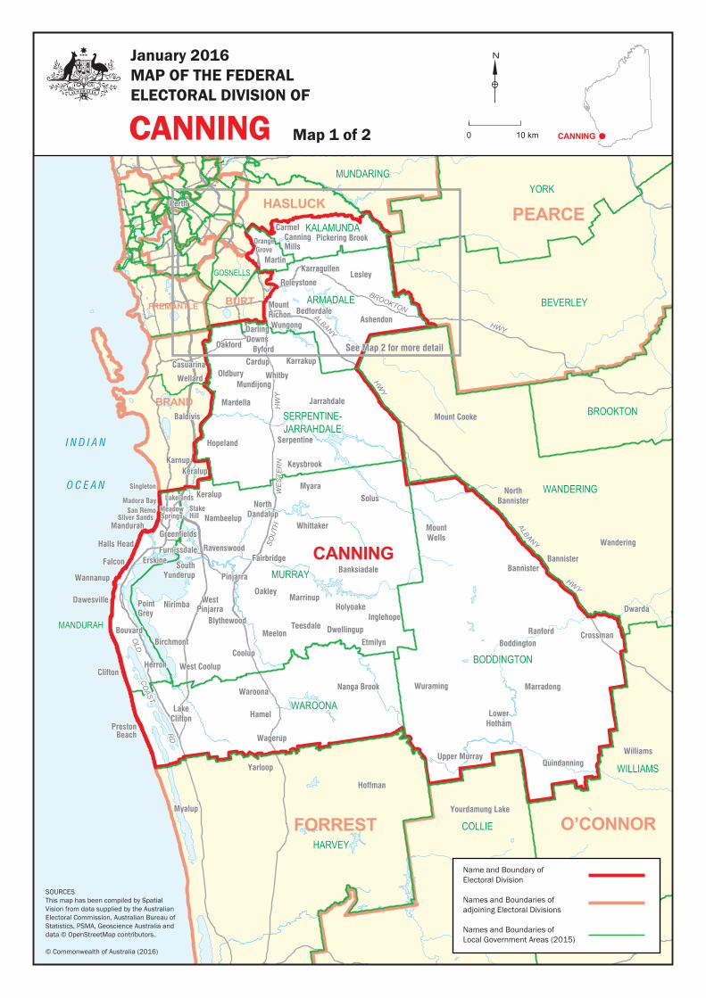
See Map 2 for more detailSee Map 2 for more detail
HWY
ALBANY
HWY
BROOKTON
HWY
ALBANYR
D
CO
AST
OLD
SOU
THW
ES
TER
NW
ES
TER
NH
WY
Wellard
Baldivis
Karnup
Singleton
MeadowSprings
Wannanup
Nambeelup
Mount Cooke
NorthBannister
Wandering
Dwarda
Williams
Yourdamung Lake
Hoffman
Yarloop
Myalup
Casuarina
Silver Sands
Ashendon
Nirimba
Martin
Roleystone
Falcon
Wannanup
Teesdale
Banksiadale
Wuraming
Jarrahdale
Birchmont
Oldbury
Lesley
Oakford
Waroona
Upper Murray
LowerHotham
BoddingtonRanford
LakeClifton
Bouvard
Holyoake
Karragullen
StakeHill
Lakelands
MeadowSprings
Solus
Mount Cooke
NorthBannister
Wandering
Dwarda
Williams
Blythewood
Ravenswood
Nambeelup
NorthDandalup
Greenfields
Meelon
Karrakup
Wungong
Pinjarra
Oakley
Crossman
Pickering Brook
WestPinjarra
Hopeland
Inglehope
Quindanning
Yourdamung Lake
Hoffman
Yarloop
Myalup
Whittaker
BedfordaleMountRichon
CanningMills
Hamel
Whitby
Keysbrook
Serpentine
SouthYunderup
Dwellingup
Carmel
Nanga Brook Marradong
BannisterBannister
MountWells
PrestonBeach
PointGrey
West CoolupClifton
Keralup
Keralup
Marrinup
Cardup
Mundijong
Byford
Wagerup
Mardella
Wellard
Casuarina
Baldivis
Karnup
Etmilyn
Fairbridge
HerronCoolup
Perth
Myara
Mandurah
FurnissdaleHalls Head
Dawesville
Erskine
Madora Bay
Singleton
DarlingDowns
OrangeGrove
San RemoSilver Sands
WANDERING
MANDURAH
KALAMUNDA
GOSNELLS
BROOKTON
YORK
WILLIAMS
COLLIE
NORTHAM
SWAN
MURRAY
ARMADALE
BODDINGTON
HARVEY
BEVERLEY
WAROONA
MUNDARING
WANNEROO
SERPENTINE-JARRAHDALE
I N D I A N
O C E A N
PEARCEHASLUCK
CANNING
HASLUCK
BURT
BRAND
FREMANTLE
FORREST O’CONNOR
Name and Boundary of Electoral Division
Names and Boundaries of adjoining Electoral Divisions
Names and Boundaries of Local Government Areas (2015)
SOURCESThis map has been compiled by Spatial Vision from data supplied by the Australian Electoral Commission, Australian Bureau of Statistics, PSMA, Geoscience Australia and data © OpenStreetMap contributors.
© Commonwealth of Australia (2016)
CANNING
January 2016MAP OF THE FEDERALELECTORAL DIVISION OF
Map 1 of 2
N
0 10 km CANNING

Rowley Rd
Bedfordalelocality boundary
Martinlocality boundary
Roleystonelocality boundary
Orange Grovelocality boundary
Canning Millslocality boundary
Albany Hwy
Carmellocality boundary Pickering Brook
locality boundary
Canning
Swan
Ri
ver
Canning
Swan
Ri
ver
Canning
River
HWY
ALBANY
HWY
BROOKTON
ROWLEY RD
SOU
THW
ESTE
RN
H
WY
Kenwick
Ashendon
Martin
RoleystoneLesley
Oakford
Karragullen
Karrakup
WungongWungong
Pickering Brook
BedfordaleMountRichon
CanningMills
ReservoirSawyersValley
Flynn
Flint
Carmel
Sawyers Valley
Perth
Hilbert
Hilbert
BrookdaleForrestdale
Southern River
Armadale
MountNasura
Kelmscott
DarlingDowns
Byford
Gosnells
Gosnells
OrangeGrove
BickleyWalliston
LesmurdieWattleGrove
Maddington
Kenwick
Wandi
Banjup
KALAMUNDA
SERPENTINE-JARRAHDALEKWINANA
COCKBURN BEVERLEY
YORK
MUNDARING
GOSNELLS
SOUTHPERTH
MELVILLE
CANNING
ARMADALE
MUNDARING
PEARCE
O’CONNOR
CANNING
TANGNEY
SWAN
HASLUCK
BURT
FREMANTLE
BRAND
Name and Boundary of Electoral Division
Names and Boundaries of adjoining Electoral Divisions
Names and Boundaries of Local Government Areas (2015)
CANNING
January 2016MAP OF THE FEDERALELECTORAL DIVISION OF
Map 2 of 2
N
0 4 km CANNING
SOURCESThis map has been compiled by Spatial Vision from data supplied by the Australian Electoral Commission, Australian Bureau of Statistics, PSMA, Geoscience Australia and data © OpenStreetMap contributors.
© Commonwealth of Australia (2016)